


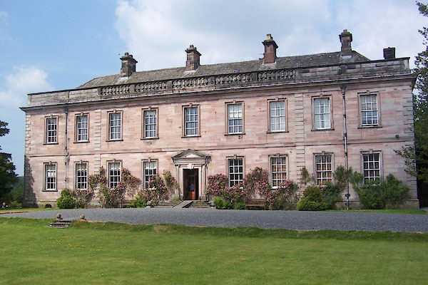
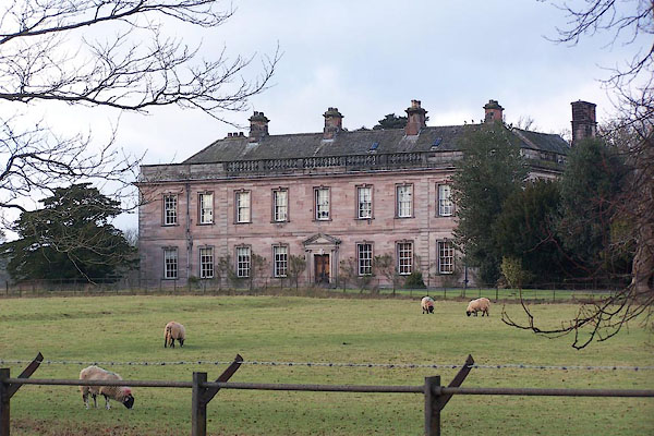
BMF78.jpg (taken 8.6.2006)
placename:- Dalemain
placename:- Dalemane
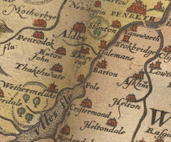
Sax9NY42.jpg
Tower, symbol for a house, hall, tower, ring of fence palings, trees. "Dalemane"
item:- private collection : 2
Image © see bottom of page
placename:- Dalemane
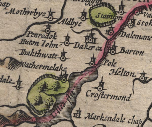
SP11NY42.jpg
"Dalemane"
circle, building, tower and ring of fence palings, W of Stainton
item:- private collection : 16
Image © see bottom of page
placename:- Dalemane
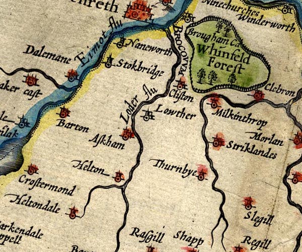
SP14NY52.jpg
"Dalemane"
circle, towers
item:- Armitt Library : 2008.14.5
Image © see bottom of page
placename:- Dalemane
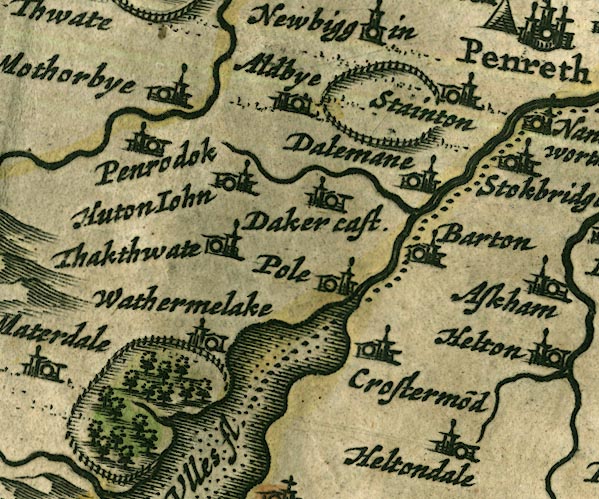
JAN3NY42.jpg
"Dalemane"
Buildings and tower in a ring of fence palings.
item:- JandMN : 88
Image © see bottom of page
placename:- Dalemain
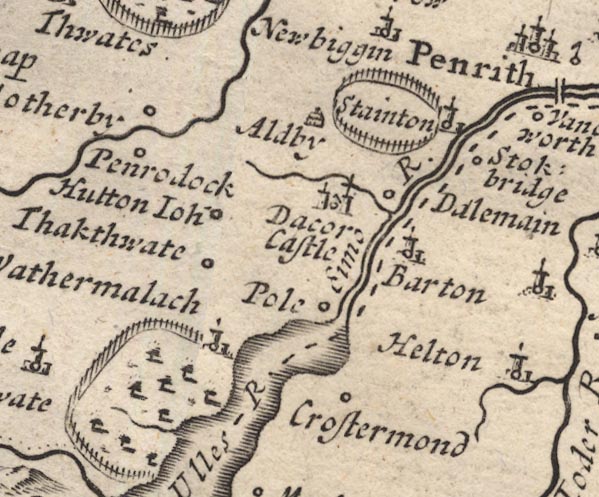
MD12NY42.jpg
"Dalemain"
Circle; ring of fence palings, N of the circle.
item:- JandMN : 90
Image © see bottom of page
placename:- Dalemane
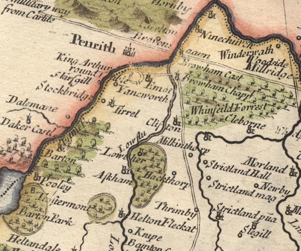
MD10NY52.jpg
"Dalemane"
Circle.
item:- JandMN : 24
Image © see bottom of page
placename:- Dalemain
placename:- Dale Main
item:- cornage (tenure)
 goto source
"..."
"Dalemain, the Mansion House of Edward Hassel, Esq; held of the Barony of Graystock in Cornage, by which Tenure the Possessors of these, and other Lands in the same Manor, are oblig'd, under the Penalty of forfeiting them, to give Notice of any Enemy's Approach by the sounding of an Horn, and to serve in the Wars against the Scots, marching thither in the Van, and returning in the Rear. ..."
 goto source
"... Dale-Main, Lady Hassel's. ..."
placename:- Dalemain
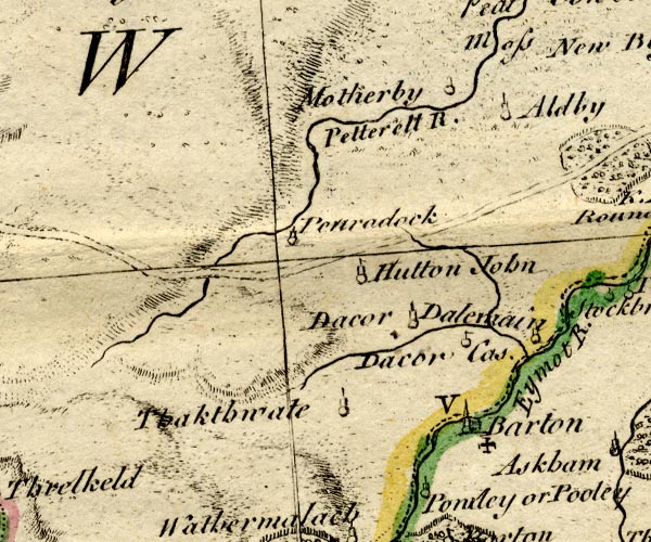
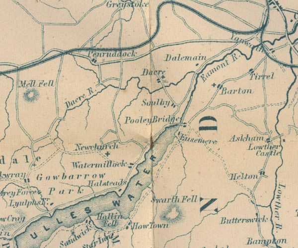
BO18NY32.jpg
"Dalemain"
circle, tower
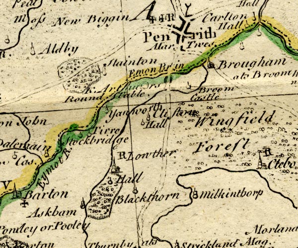
BO18NY42.jpg
outline of fence palings, trees
item:- Armitt Library : 2008.14.10
Image © see bottom of page
placename:- Dalemain
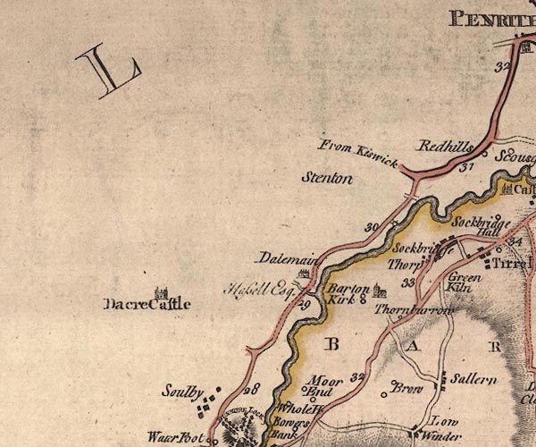
J5NY42NE.jpg
"Dalemain / Hassell Esq."
house, with four chimneys
item:- National Library of Scotland : EME.s.47
Image © National Library of Scotland
placename:- Dalemain
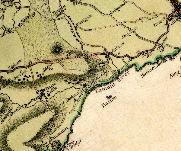
D4NY42NE.jpg
"Dalemain / Hasell Esqr."
house
item:- Carlisle Library : Map 2
Image © Carlisle Library
 goto source
Page 151:- "..."
"ULLS-WATER."
"Those that do not choose to go as far as Penrith, may, near the eighth mile-post,"
 goto source
Page 152:- "..."
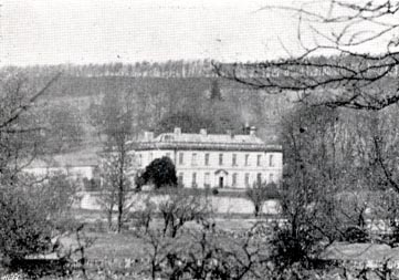
"[Mr. Gray] '... Dalemain, a large fabric of pale red stone, with nine windows in front, and seven on the side. ..."
 goto source
Addendum; Mr Gray's Journal, 1769
Page 201:- "Oct. 1. A grey autumnal day, the air perfectly calm, and mild, went to see Ulls-water, ... to the right is Dalemain, a large fabric of pale red stone, with nine windows in the front and seven on the side, built by Mr. Hazel; behind it is a fine lawn surrounded by woods, and a long rocky eminence rising over them; a clear and brisk rivulet runs by the house to join the Eamont, whose course is in sight, and at a small distance. ..."
placename:- Dalemain
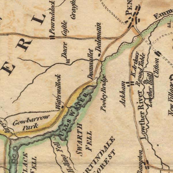
Ws02NY42.jpg
item:- Armitt Library : A1221.1
Image © see bottom of page
placename:- Dalemain
placename:- Queen of the Vale of Emont
 goto source
Page 23:- "..."
"At a little more than three miles [from Penrith] is Dalemain, the seat of he late Williams Hassell, Esq; an handsome new stone-building, situated under an hill, which effectually screens it from the North: from the house to the river are such beautiful pastures, that a late author calls it the Queen of the Vale of Emont. On the opposite side of the river are pleasure-grounds and gardens, connected with the house by an handsome wooden-bridge. Above the house, upon the banks of a small river called Dacre-Beck, are other gardens, calculated both for pleasure and utility."
"Dalemain belonged to a family of the name of Layton for many generations, the most remarkable of whom was William Layton, who had twenty-three children by one wife. It was purchased of this family by Sir Edward Hassell, Knight, who was, in the year 1701, Knight of the Shire, and has continued in the family ever since."
placename:- Demesne House
placename:- Main House
item:- court baron
 goto source
Page 39:- "... Desmesne House, called here Main House: here, the lord of the manor (Mr Hassel) keeps his court baron for Barton, Martindale, Grisdale, and some other of his estates. ..."
item:- red deer; deer; hound; Rockwood
 goto source
Page 190:- "..."
"... In the 1741, a deer which laid a considerable way out of the forest was complained of by farmers: the keeper, therefore, sent his servant John Brown, with a fox-hound called Rockwood to fetch him into the forest or kill him. The dog soon roused the deer, and run him upwards of 20 miles, when he came to How-Town, (see Plate IV.) as if to take the Lake: He did not, however, but running along-side of it three miles, crossed it at the foot, and ascended Dunmallard. He then crossed by Soulby-Fell and run towards Dacre, where Mr Hassel met him with his whole kennel of hounds, and they pursued him to Hutton John, where he was harboured: Rockwood soon roused him, and drove him full in the face of Mr Hassel's dogs, but they were unable to take him. He then, (to use my informer's words,) "run thro' the whole pack like a hare through a flock of sheep," though he had followed the deer"
 goto source
Page 191:- "almost 30 miles, and in about two miles more took him, though not before he received a mortal wound from his horns: The deer was then brought to Dalemain, where he died in about three hours, and, when opened, was found to have almost all his suet melted."
placename:- Delamayn
 goto source
Page 188:- "..."
"Near Dacre is Delamayn, the mansion-house of the Hassels, held of the barony of Greystock in cornage. ..."
placename:- Dalemain
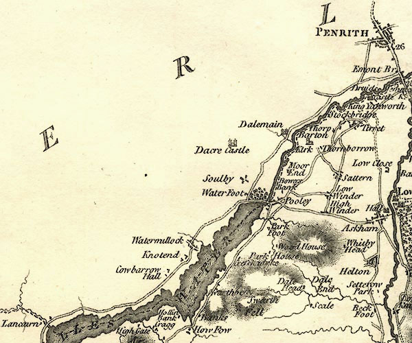
CY24NY42.jpg
"Dalemain"
house symbol; large house
item:- JandMN : 129
Image © see bottom of page
placename:- Dalemain
 goto source
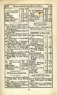 click to enlarge
C38321.jpg
page 321-322 "About 3 Miles on l. of Penrith is Dalemain, Edward Hassel, Esq. ..."
item:- JandMN : 228.1
Image © see bottom of page
placename:- Dalemain
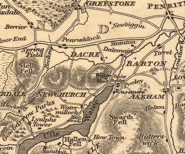
OT02NY42.jpg
item:- JandMN : 48.1
Image © see bottom of page
placename:- Dalemain Hall
 goto source
Page 142:- "..."
"The northern road leads past Dalemain Hall, built in the style of architecture that marks the reign of William III, and seated on the Dacre, ..."
placename:- Dalemain
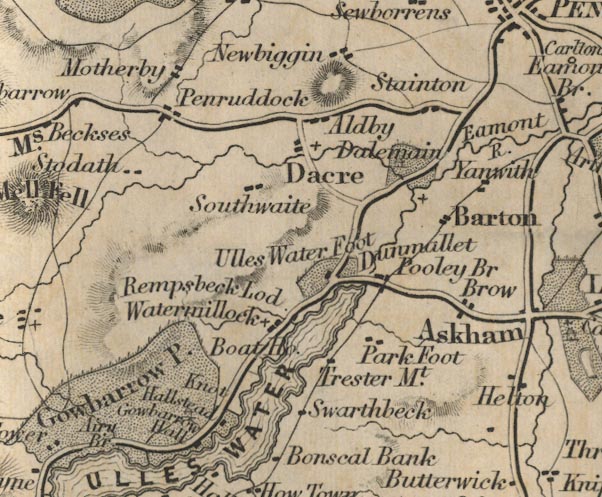
FD02NY42.jpg
"Dalemain"
Building and park.
item:- JandMN : 100.1
Image © see bottom of page
placename:- Dalemain
GAR2NY42.jpg
"Dalemain"
block, building
item:- JandMN : 82.1
Image © see bottom of page
 click to enlarge
UN113.jpg
item:- JandMN : 1023.13
Image © see bottom of page
placename:- Dalemain
courtesy of English Heritage
"DALEMAIN / / / DACRE / EDEN / CUMBRIA / I / 73762 / NY4771226876"
courtesy of English Heritage
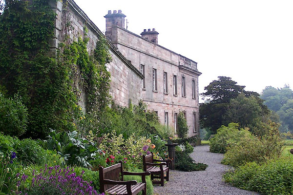
"Large country house. C15 with C16 additions, C17 alterations and extensive mid 1730's extensions, the initials E.H. over the entrance (Edward Hasell). Earliest parts of calciferous sandstone rubble with pink sandstone rubble extensions and flush quoins. C18 parts of pink sandstone ashlar with rusticated pilasters, string course, open-balustraded parapet and V-jointed quoins, all on moulded plinth. C18 lead downspouts. Graduated hipped greenslate roof with sandstone ashlar chimney stacks. 2-storey, 9-bay facade with wings built around a small courtyard, the rear range incorporating the original house. Facade has central panelled doors in fluted-pilaster pedimented doorcase. Sash windows with glazing bars in stone architraves with false keystones. The 2 end bays at either side are divided by pilasters. Left return wall has 2 bays of similar sash windows; the 5-bay wing has sash windows in stone surrounds. The right return wall has 2 bays similar to the facade, then the 2-bay wing which is carried up to full parapet height for 3 1/2 storeys, with small and large sash windows in stone surrounds. The original house is of 2 or 3 builds, the walls raised to form a uniform parapet in the C18. The central bays are a C15 hall adjoined by what has been interpreted as a tower, but appears to be an integral part of the hall range exhibiting similar C15 features and wall thicknesses. Left C17 chamfered-surround doorway under a large C17 cross-mullioned window. 2- and 3-light stone-mullioned windows, all under hoodmoulds, continuous on lower floor, broken on the upper floor by an C18 sash window beside a blocked 2-light window retaining its hoodmould. Central large chimney stack projects from the parapet, off-set on its right side for its full height. Further sash windows with glazing bars in C18 surrounds between chimney stack and staircase windows, which are in chamfered surrounds. The lowest one is 2-light and between these windows is a cross-and-circle vent stone. The far right 2 bays are part of the C18 wing; the far left bay is a C16 extension with 2-light stone-mullioned windows under hoodmoulds, continued on the left return wall. The inside of the courtyard shows the original front wall of the hall range now with a central late C17 bolection-moulded doorway and sash windows with glazing bars in C18 stone surrounds. The original windows of 2 periods are now blocked but traces remain. The interior has a broad C15 newel staircase and a smaller similar blocked staircase. Beamed ceilings, late C16 panelled rooms with moulded plasterwork. Remainder of the house has C18 features such as panelling, doors, ceilings and woodwork. See Country Life 14, 21 and 28 March 1952, pp.736-9, 820-4, 908-11."
item:- date stone (1738)
courtesy of English Heritage
"STABLES AND BARN NORTH EAST OF DALEMAIN / / / DACRE / EDEN / CUMBRIA / II / 73765 / NY4773926947"
courtesy of English Heritage
"Stables and barn. Dated and inscribed over entrance E &JH 1738, with late C18 extensions. Mixed sandstone rubble walls with flush quoins, under graduated greenslate roof partly with coped gables and kneelers; brick chimney stack. 2 low 2-storey, 6-bay, parallel stable ranges, separated by a broad courtyard and joined on the 3rd side with a tall late C18 2-storey, 5-bay barn. Left stable range has 2 segmental-arched doorways and a smaller flat-headed doorway with dated lintel. 2-light flat stone-mullioned windows, some with mullions removed. Barn has irregular doorways and casement windows under loft doorways, and slit vents on 2 levels. Right stable range has irregular doorways and slit vents. The barn overhangs the stable range at either end and has no features which would indicate an earlier date than late C18. The date on the stables may give an indication of the date of the rebuilding of Dalemain, shortly after Edward Hasell's marriage to Julia Musgrave in 1735. Listed for group value with Dalemain."
courtesy of English Heritage
"FORMER BREWHOUSE ADJOINING TO REAR OF DALEMAIN / / / DACRE / EDEN / CUMBRIA / II / 73763 / NY4770426889"
courtesy of English Heritage
"Brewhouse now private house. Early C19. Pink sandstone ashlar, under hipped graduated greenslate roof with central ashlar chimney stack. Single storey, 2 bays, with lower left single-bay extension. C20 double doors, oak plank door and left and right sash windows, all in stone surrounds. Extension has segmental arch, now partly blocked, with C20 casement window. Right return wall has C20 window. Listed for group value with Dalemain."
courtesy of English Heritage
"GARDEN WALL ADJOINING TO REAR OF DALEMAIN / / / DACRE / EDEN / CUMBRIA / II / 73764 / NY4768326899"
courtesy of English Heritage
"Garden wall. Mid C18. Facings of red and pink sandstone ashlar with V-jointed quoins, with other walls of brick, all under flat moulded coping. High wall on 2 sides of the rear garden of Dalemain. Lean-to extensions on inner wall are not of interest. Listed for group value with Dalemain."
BMF79.jpg (taken 8.6.2006)
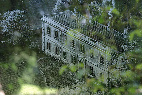
BXB76.jpg In a window at St Andrew's Church, Dacre.
(taken 10.8.2012)
BLM25.jpg (taken 23.12.2005)
: 2012: Cumbria Gardens 2012: National Gardens Scheme
