 |
 |
   |
|
|
| runs into:- |
 Eamont, River Eamont, River |
|
|
|
|
| civil parish:- |
Askham (formerly Westmorland) |
| civil parish:- |
Lowther (formerly Westmorland) |
| county:- |
Cumbria |
| locality type:- |
river |
| 1Km square:- |
NY5124 (etc) |
| 10Km square:- |
NY52 |
| civil parish:- |
Shap Rural (formerly Westmorland) |
| civil parish:- |
Shap (formerly Westmorland) |
| county:- |
Cumbria |
| locality type:- |
river |
| 10Km square:- |
NY51 |
|
|
|
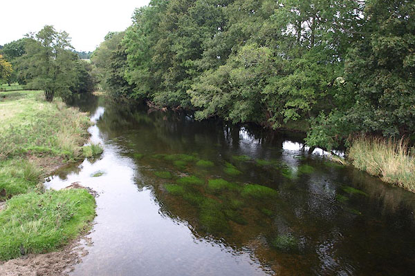
BRP08.jpg At the footbridge,
(taken 25.9.2009)
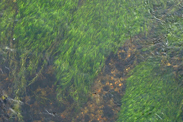
BRP09.jpg At the footbridge,
(taken 25.9.2009)
|
|
|
| evidence:- |
old map:- OS County Series (Wmd 3 16)
placename:- Lowther, River
|
| source data:- |
Maps, County Series maps of Great Britain, scales 6 and 25
inches to 1 mile, published by the Ordnance Survey, Southampton,
Hampshire, from about 1863 to 1948.
OS County Series (Wmd 14 9)
OS County Series (Wmd 21 2)
OS County Series (Wmd 21 5)
|
|
|
| evidence:- |
old map:- Gough 1350s-60s
|
| source data:- |
Map, colour photozincograph copy, reduced size facsimile, Gough
Map of Britain, scale about 28.5 miles to 1 inch, published by
the Ordnance Survey, Southampton, Hampshire, 1875.
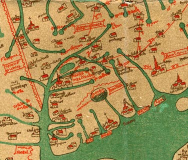 click to enlarge click to enlarge
Ggh1Cm.jpg
Tributary to the Eden; west of Shap; not labelled.
item:- JandMN : 33
Image © see bottom of page
|
|
|
| evidence:- |
old map:- Gough 1350s-60s
|
| source data:- |
Map, lithograph facsimile, Gough Map of Britain, 20 miles to 1
inch? published by the Ordnance Survey, Southampton, Hampshire,
1935.
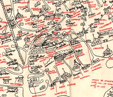 click to enlarge click to enlarge
Ggh2Cm.jpg
Tributary to the Eden; west of Shap; not labelled.
item:- JandMN : 34
Image © see bottom of page
|
|
|
| evidence:- |
old map:- Lloyd 1573
placename:- Lonter Fl.
|
| source data:- |
Map, hand coloured copper plate engraving, Angliae Regni,
Kingdom of England, with Wales, scale about 24 miles to 1 inch, authored by Humphrey
Lloyd, Denbigh, Clwyd, drawn and engraved
by Abraham Ortelius, Netherlands, 1573.
 click to enlarge click to enlarge
Lld1Cm.jpg
"Lonter fl."
item:- Hampshire Museums : FA1998.69
Image © see bottom of page
|
|
|
| evidence:- |
old map:- Saxton 1579
|
| source data:- |
Map, hand coloured engraving, Westmorlandiae et Cumberlandiae Comitatus ie Westmorland
and Cumberland, scale about 5 miles to 1 inch, by Christopher Saxton, London, engraved
by Augustinus Ryther, 1576, published 1579-1645.
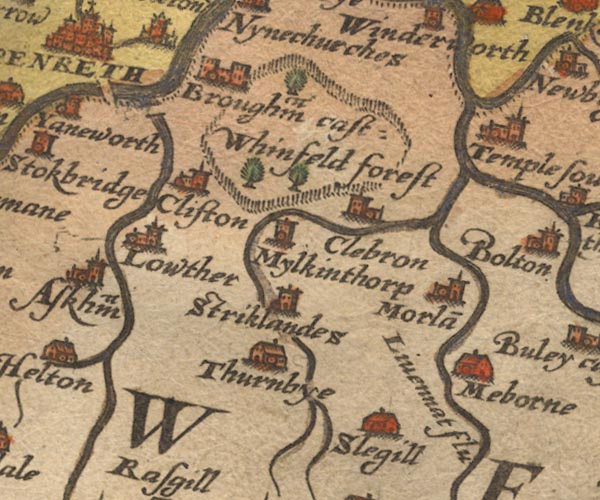
Sax9NY52.jpg
item:- private collection : 2
Image © see bottom of page
|
|
|
| evidence:- |
old map:- Mercator 1595 (edn?)
placename:-
|
| source data:- |
Map, hand coloured engraving, Westmorlandia, Lancastria, Cestria
etc, ie Westmorland, Lancashire, Cheshire etc, scale about 10.5
miles to 1 inch, by Gerard Mercator, Duisberg, Germany, 1595,
edition 1613-16.

MER5WmdA.jpg
""
double line with stream lines; river, running into the Eamont
item:- Armitt Library : 2008.14.3
Image © see bottom of page
|
|
|
| evidence:- |
old map:- Speed 1611 (Cmd)
|
| source data:- |
Map, hand coloured engraving, Cumberland and the Ancient Citie
Carlile Described, scale about 4 miles to 1 inch, by John Speed,
1610, published by J Sudbury and George Humble, Popes Head
Alley, London, 1611-12.
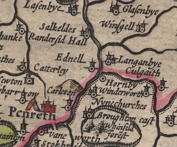
SP11NY53.jpg
wiggly line, runs into the Eamont; Westmorland
item:- private collection : 16
Image © see bottom of page
|
|
|
| evidence:- |
old map:- Speed 1611 (Wmd)
placename:- Loder flu
|
| source data:- |
Map, hand coloured engraving, The Countie Westmorland and
Kendale the Cheif Towne, scale about 2.5 miles to 1 inch, by
John Speed, 1610, published by George Humble, Popes Head Alley,
London, 1611-12.
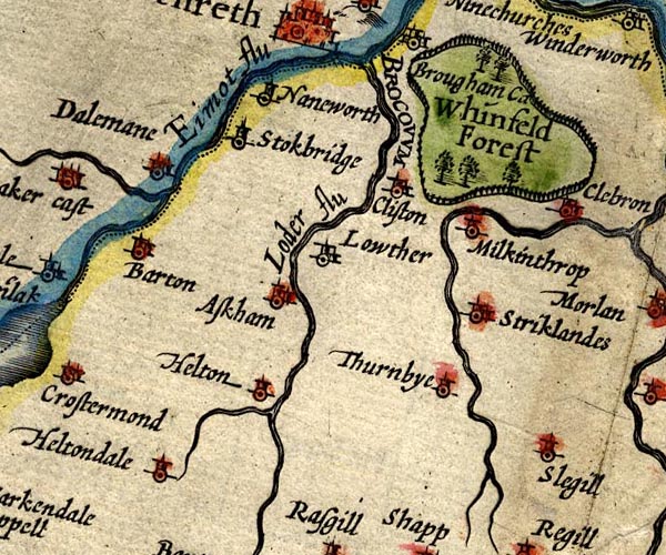
SP14NY52.jpg
"Loder flu"
double line with stream lines
item:- Armitt Library : 2008.14.5
Image © see bottom of page
|
|
|
| evidence:- |
poem:- Drayton 1612/1622 text
placename:- Loder
|
| source data:- |
Poem, Poly Olbion, by Michael Drayton, published by published by
John Marriott, John Grismand and Thomas Dewe, and others?
London, part 1 1612, part 2 1622.
 goto source goto source
page 163:- "...
And Loder doth allure, with whom she haps to meet,
Which at her comming in, doth thus her Mistris greet."
"Quoth shee, thus for my selfe I say, that where I swell
Up from my Fountaine first, there is a Tyding-well,
That daily ebbs and flowes, (as Writers doe report)
The old Euripus doth, or in the selfe same sort,
The Venedocian Fount, or the Demetian Spring,
Or that which the cold Peake doth with her wonders bring,
Why should not Loder then, her Mistris Eden please,
With this, as other Floods delighted are with these."
"When Eden, though shee seem'd to make unusuall haste,
About cleere Loders neck, yet lovingly doth cast
Her oft infolding Armes, ..."
|
|
|
| evidence:- |
old map:- Drayton 1612/1622
placename:- Loder Flu.
|
| source data:- |
Map, hand coloured engraving, Cumberlande and Westmorlande, by
Michael Drayton, probably engraved by William Hole, scale about
4 or 5 miles to 1 inch, published by John Mariott, John
Grismand, and Thomas Dewe, London, 1622.
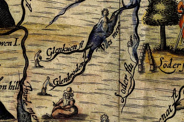
DRY515.jpg
"Loder flu"
River, naiad.
item:- JandMN : 168
Image © see bottom of page
|
|
|
| evidence:- |
old map:- Jansson 1646
|
| source data:- |
Map, hand coloured engraving, Cumbria and Westmoria, ie
Cumberland and Westmorland, scale about 3.5 miles to 1 inch, by
John Jansson, Amsterdam, Netherlands, 1646.
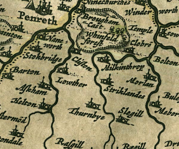
JAN3NY52.jpg
Double wiggly line, tapering to single.
item:- JandMN : 88
Image © see bottom of page
|
|
|
| evidence:- |
old map:- Ogilby 1675 (plate 38)
placename:- Lowder Fluvius
|
| source data:- |
Road strip map, hand coloured engraving, continuation of the
Road from London to Carlisle, scale about 1 inch to 1 mile, by
John Ogilby, London, 1675.
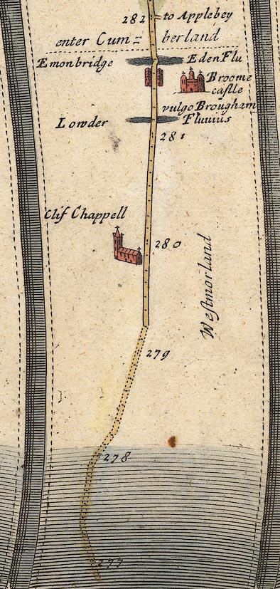
OG38m277.jpg
In mile 281, Westmorland.
River:- "Lowder Fluvius"
crossed by the road, no bridge drawn.
item:- JandMN : 21
Image © see bottom of page
|
|
|
| evidence:- |
old map:- Sanson 1679
|
| source data:- |
Map, hand coloured engraving, Ancien Royaume de Northumberland
aujourdhuy Provinces de Nort, ie the Ancient Kingdom of
Northumberland or the Northern Provinces, scale about 9.5 miles
to 1 inch, by Nicholas Sanson, Paris, France, 1679.
 click to enlarge click to enlarge
SAN2Cm.jpg
tapering wiggly line; river
item:- Dove Cottage : 2007.38.15
Image © see bottom of page
|
|
|
| evidence:- |
old map:- Seller 1694 (Wmd)
|
| source data:- |
Map, hand coloured engraving, Westmorland, scale about 8 miles
to 1 inch, by John Seller, 1694.
 click to enlarge click to enlarge
SEL7.jpg
tapering wiggly line; river
item:- Dove Cottage : 2007.38.87
Image © see bottom of page
|
|
|
| evidence:- |
old map:- Morden 1695 (Cmd)
placename:- Ioder River
|
| source data:- |
Map, uncoloured engraving, Cumberland, scale about 4 miles to 1
inch, by Robert Morden, 1695, published by Abel Swale, the
Unicorn, St Paul's Churchyard, Awnsham, and John Churchill, the
Black Swan, Paternoster Row, London, 1695-1715.
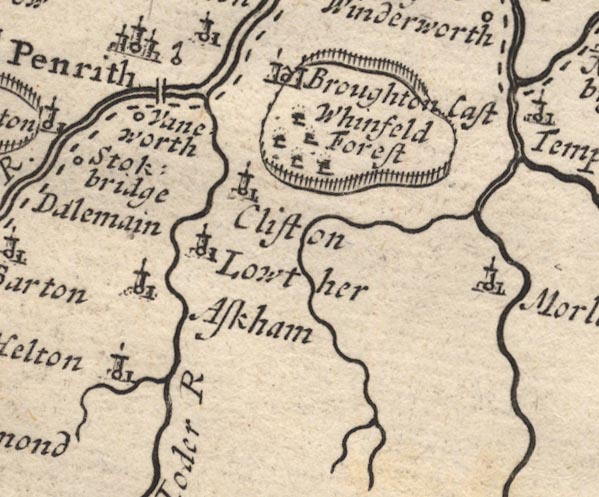
MD12NY52.jpg
"Ioder R"
item:- JandMN : 90
Image © see bottom of page
|
|
|
| evidence:- |
old map:- Morden 1695 (Wmd)
placename:- Lowther River
placename:- Low Flu.
|
| source data:- |
Map, hand coloured engraving, Westmorland, scale about 2.5 miles to 1 inch, by Robert
Morden, published by Abel Swale, the Unicorn, St Paul's Churchyard, Awnsham, and John
Churchill, the Black Swan, Paternoster Row, London, 1695.
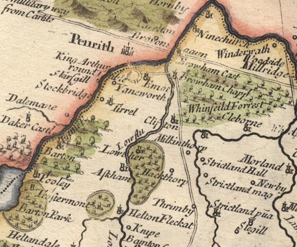
MD10NY52.jpg
"Low flu"
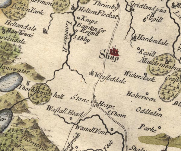
MD10NY51.jpg
"Lowther R"
item:- JandMN : 24
Image © see bottom of page
|
|
|
| evidence:- |
descriptive text:- Fiennes 1698
placename:- Louder, River
|
| source data:- |
Travel book, manuscript record of Journeys through England
including parts of the Lake District, by Celia Fiennes, 1698.
"... the other river [at Penrith] is called Louder which gives name to Lord Landsdowns
house call'd Louder-hall which is four mile from Peroth; ..."
|
|
|
| evidence:- |
old map:- Bowen 1720 (plate 94)
placename:- Lowther Flu.
|
| source data:- |
Strip maps, uncoloured engravings, road maps, The Road from
London to Carlisle, scale about 2 miles to 1 inch, with sections
in Lancashire and Westmorland, published by Emanuel Bowen, St
Katherines, London, 1720.
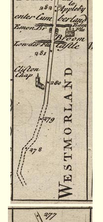
B094m277.jpg
At mile 281+.
item:- Dove Cottage : 2007.38.100
Image © see bottom of page
|
|
|
| evidence:- |
descriptive text:- Defoe 1724-26
placename:- Louther, River
|
| source data:- |
Tour through England and Wales, by Daniel Defoe, published in
parts, London, 1724-26.
"My Lord Lonsdale ... has a very noble and antient seat at Louther, and upon the River
Louther; ..."
|
|
|
| evidence:- |
old map:- Badeslade 1742
placename:- Loder, River
|
| source data:- |
Maps, Westmorland North from London, scale about 10 miles to 1
inch, and Cumberland North from London, scale about 11 miles to
1 inch, with descriptive text, by Thomas Badeslade, London,
engraved and published by William Henry Toms, Union Court,
Holborn, London, 1742; published 1742-49.
"... the River Eimot, which receives the Loder, ..."
|
|
|
| evidence:- |
old map:- Badeslade 1742
placename:- Loder River
|
| source data:- |
Map, uncoloured engraving, A Map of Westmorland North from
London, scale about 10 miles to 1 inch, with descriptive text,
by Thomas Badeslade, London, engraved and published by William
Henry Toms, Union Court, Holborn, London, 1742.
 click to enlarge click to enlarge
BD12.jpg
"Loder R."
tapering wiggly line
item:- Dove Cottage : 2007.38.62
Image © see bottom of page
|
|
|
| evidence:- |
descriptive text:- Simpson 1746
placename:- Loder, River
placename:- Lowther, River
|
| source data:- |
Atlas, three volumes of maps and descriptive text published as
'The Agreeable Historian, or the Compleat English Traveller
...', by Samuel Simpson, 1746.
 goto source goto source
Page 1020:- "..."
"... The Loder, or Lowther River is a very clear Stream without Mud, which rises in
the Broad water Lake near Thornthwaite Forest; and after a long Course falls into
the Eimot near Hornby. The Lowther's Family take their Name from it, and have a Seat
on the Banks of it."
|
|
|
| evidence:- |
old map:- Simpson 1746 map (Wmd)
|
| source data:- |
Map, uncoloured engraving, Westmorland, scale about 8 miles to 1
inch, printed by R Walker, Fleet Lane, London, 1746.
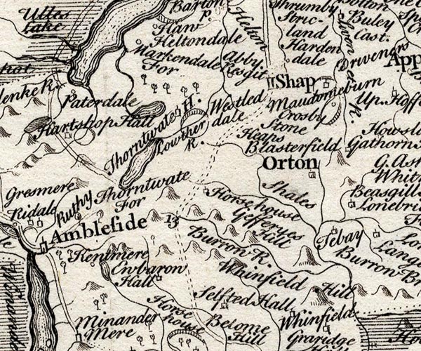
SMP2NYK.jpg
Wiggly line; joined by the Haweswater Beck from the lake.
item:- Dove Cottage : 2007.38.59
Image © see bottom of page
|
|
|
| evidence:- |
old map:- Bickham 1753-54 (Wmd)
placename:- Loden River
|
| source data:- |
Map, uncoloured engraving, perspective view, A Map of
Westmorland, North from London, by George Bickham, James Street,
Bunhill Fields, London, 1753.
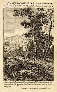 click to enlarge click to enlarge
BCK3.jpg
"Loden R"
view (sort of)
item:- Armitt Library : 2008.14.71
Image © see bottom of page
|
|
|
| evidence:- |
old map:- Bowen and Kitchin 1760
|
| source data:- |
Map, hand coloured engraving, A New Map of the Counties of
Cumberland and Westmoreland Divided into their Respective Wards,
scale about 4 miles to 1 inch, by Emanuel Bowen and Thomas
Kitchin et al, published by T Bowles, Robert Sayer, and John
Bowles, London, 1760.
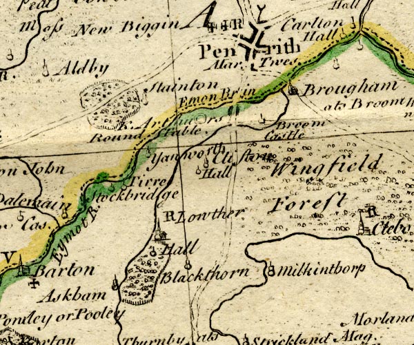
BO18NY42.jpg
wiggly line, into the Eamont
item:- Armitt Library : 2008.14.10
Image © see bottom of page
|
|
|
| evidence:- |
old map:- Jefferys 1770 (Wmd)
placename:- Lowther River
|
| source data:- |
Map, 4 sheets, The County of Westmoreland, scale 1 inch to 1
mile, surveyed 1768, and engraved and published by Thomas
Jefferys, London, 1770.
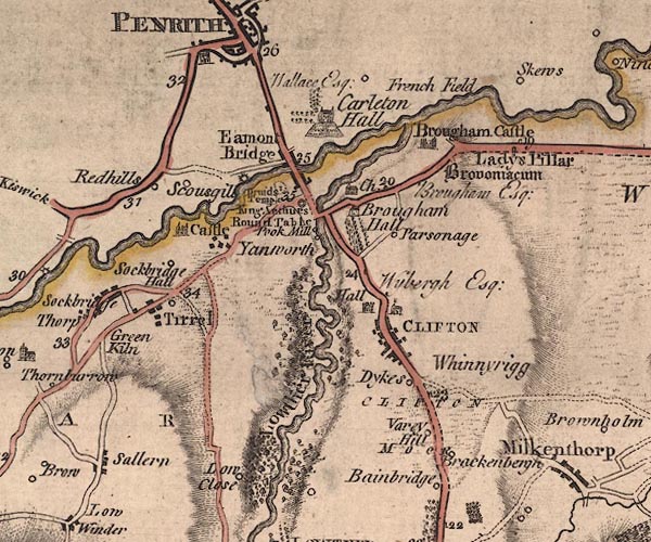
J5NY52NW.jpg
"Lowther River"
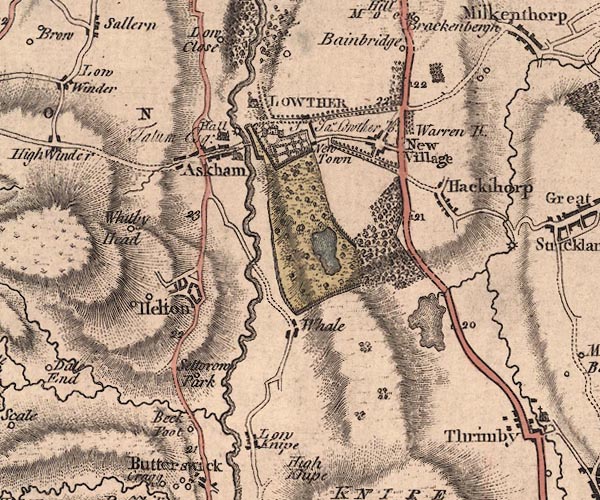
J5NY52SW.jpg
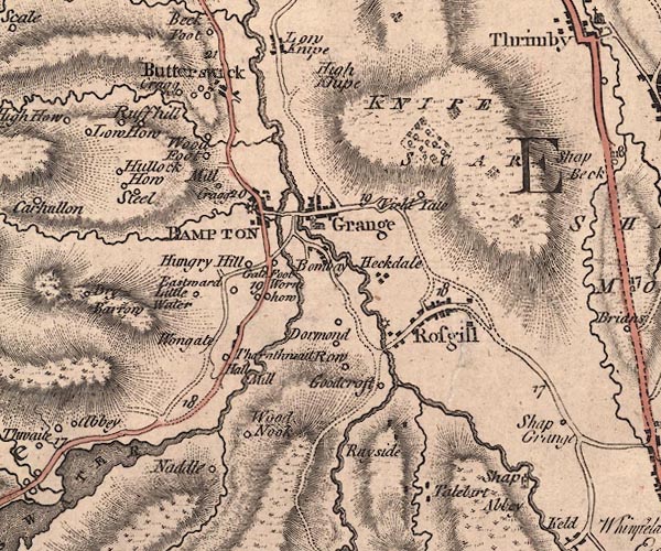
J5NY51NW.jpg
single or double wiggly line; river
item:- National Library of Scotland : EME.s.47
Images © National Library of Scotland |
|
|
| evidence:- |
old map:- Donald 1774 (Cmd)
placename:- Lowther River
|
| source data:- |
Map, hand coloured engraving, 3x2 sheets, The County of Cumberland, scale about 1
inch to 1 mile, by Thomas Donald, engraved and published by Joseph Hodskinson, 29
Arundel Street, Strand, London, 1774.
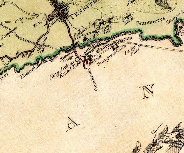
D4NY52NW.jpg
"Lowther R."
single or double wiggly line; a river into the Eamont
item:- Carlisle Library : Map 2
Image © Carlisle Library |
|
|
| evidence:- |
old map:- West 1784 map
placename:- Lowther River
|
| source data:- |
Map, hand coloured engraving, A Map of the Lakes in Cumberland,
Westmorland and Lancashire, scale about 3.5 miles to 1 inch,
engraved by Paas, 53 Holborn, London, about 1784.
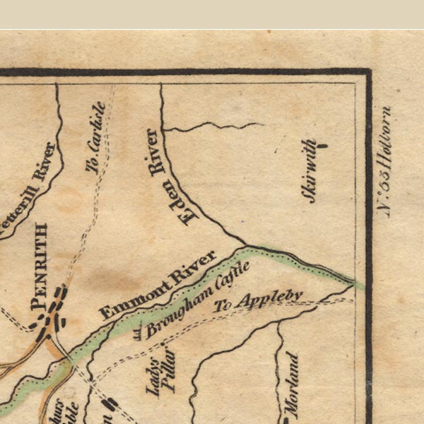
Ws02NY53.jpg
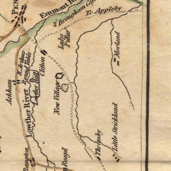
Ws02NY52.jpg
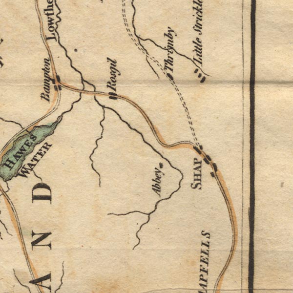
Ws02NY51.jpg
item:- Armitt Library : A1221.1
Image © see bottom of page
|
|
|
| evidence:- |
old text:- Camden 1789
placename:- Loder, River
|
| source data:- |
Book, Britannia, or A Chorographical Description of the Flourishing Kingdoms of England,
Scotland, and Ireland, by William Camden, 1586, translated from the 1607 Latin edition
by Richard Gough, published London, 1789.
 goto source goto source
Page 148:- "... Here [Brougham] the river Eymot ... receives the river Loder, near whose source
at Shape, antiently Heye, ..."
|
|
|
| evidence:- |
old text:- Camden 1789 (Gough Additions)
|
| source data:- |
Book, Britannia, or A Chorographical Description of the Flourishing Kingdoms of England,
Scotland, and Ireland, by William Camden, 1586, translated from the 1607 Latin edition
by Richard Gough, published London, 1789.
 goto source goto source
Page 161:- "..."
"... Perhaps however both the name and seat of Lowther here, as Lauder in Scotland,
are to be derived from the neighbouring river, which in British signifies clear water,
Gladdwr. This river springs in Wet Sleddale in Shap parish, and runs along by that
abbey, Rosgill hall, through Bampton, by Askham and Lowther halls, Clifton hall, Round
table, and at Brougham castle falls into the Emot, where it loses its name, and is
carried with that river into Eden. ..."
|
|
|
| evidence:- |
old map:- Cary 1789 (edn 1805)
|
| source data:- |
Map, uncoloured engraving, Westmoreland, scale about 2.5 miles
to 1 inch, by John Cary, London, 1789; edition 1805.
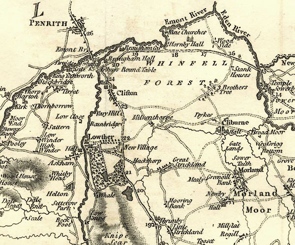
CY24NY52.jpg
river, joining the Eamont
item:- JandMN : 129
Image © see bottom of page
|
|
|
| evidence:- |
old map:- Aikin 1790 (Wmd)
placename:- Lowther River
|
| source data:- |
Map, uncoloured engraving, Westmoreland ie Westmorland, scale
about 8.5 miles to 1 inch, by John Aikin, London, 1790.
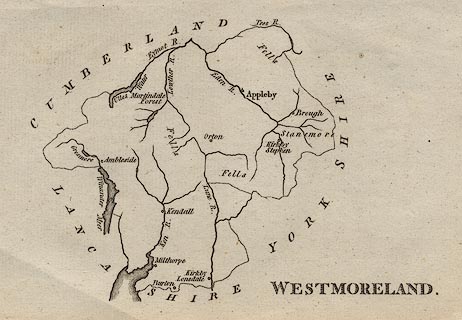 click to enlarge click to enlarge
AIK2.jpg
"Lowther R."
river
item:- JandMN : 51
Image © see bottom of page
|
|
|
| evidence:- |
road book:- Cary 1798 (2nd edn 1802)
placename:- Lowther, River
|
| source data:- |
Road book, itineraries, Cary's New Itinerary, by John Cary, 181
Strand, London, 2nd edn 1802.
 goto source goto source
 click to enlarge click to enlarge
C38267.jpg
page 267-268 "Cross the River Lowther."
 goto source goto source
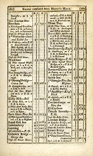 click to enlarge click to enlarge
C38281.jpg
page 281-282 "Cross the Lowther River."
item:- JandMN : 228.1
Image © see bottom of page
|
|
|
| evidence:- |
descriptive text:- Baker 1802
placename:- Lowther, River
|
| source data:- |
Perspective road map with sections in Lancashire, Westmorland,
and Cumberland, by J Baker, London 1802.
pp.25-26:- "... At Lowther Bridge the rivers Emmont and Lowther form a junction. ..."
|
|
|
| evidence:- |
possibly old map:- Baker 1802
|
| source data:- |
Perspective road maps with sections in Lancashire, Westmorland
and Cumberland, by J Baker, London 1802.
At Lowther Bridge.

Bk03Vg06.jpg
item:- private collection : 3
Image © see bottom of page
|
|
|
| evidence:- |
old map:- Cooke 1802
|
| source data:- |
Map, Westmoreland ie Westmorland, scale about 12 miles to 1
inch, by George Cooke, 1802, published by Sherwood, Jones and
Co, Paternoster Road, London, 1824.
 click to enlarge click to enlarge
GRA1Wd.jpg
tapering wiggly line; river
item:- Hampshire Museums : FA2000.62.4
Image © see bottom of page
|
|
|
| evidence:- |
old map:- Laurie and Whittle 1806
placename:- Lowther River
|
| source data:- |
Road map, Completion of the Roads to the Lakes, scale about 10
miles to 1 inch, by Nathaniel Coltman? 1806, published by Robert
H Laurie, 53 Fleet Street, London, 1834.
 click to enlarge click to enlarge
Lw18.jpg
"Lowther River"
river
item:- private collection : 18.18
Image © see bottom of page
|
|
|
| evidence:- |
old map:- Cooper 1808
placename:- Lowther River
|
| source data:- |
Map, hand coloured engraving, Westmoreland ie Westmorland, scale
about 9 miles to 1 inch, by H Cooper, 1808, published by R
Phillips, Bridge Street, Blackfriars, London, 1808.
 click to enlarge click to enlarge
COP4.jpg
"Lowther R."
tapering wiggly line; river
item:- Dove Cottage : 2007.38.53
Image © see bottom of page
|
|
|
| evidence:- |
descriptive text:- Wallis 1810
placename:- Loder
|
| source data:- |
Map, Westmoreland, scale about 19 miles to 1 inch, and
Cumberland, scale about 16 miles to 1 inch, by James Wallis, 77
Berwick Street, Soho, London, 1810; published 1810-36.
"PRINCIPAL RIVERS."
"This county is well watered by the rivers, Eden, Loder, Ken, and Lune, or Lon. ..."
"The Loder, rising at a lake called Broadwater, runs N.W., and falls into a small river
called the Eimot, near the borders of this county."
|
|
|
| evidence:- |
old print:- Green 1815
placename:- Lowther, River
item:- fishing
|
| source data:- |
Print, coloured aquatint, Scene on the River Lowther, Westmorland, by William Green,
Ambleside, Westmorland, 1815.
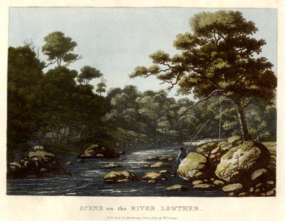 click to enlarge click to enlarge
GN0550.jpg
Plate 24 in Lake Scenery.
printed at bottom:- "SCENE on the RIVER LOWTHER. / Published at Ambleside, June 1, 1815, by Wm. Green."
item:- Armitt Library : A6646.50
Image © see bottom of page
|
|
|
| evidence:- |
old map:- Otley 1818
placename:- Lowther River
|
| source data:- |
Map, uncoloured engraving, The District of the Lakes,
Cumberland, Westmorland, and Lancashire, scale about 4 miles to
1 inch, by Jonathan Otley, 1818, engraved by J and G Menzies,
Edinburgh, Scotland, published by Jonathan Otley, Keswick,
Cumberland, et al, 1833.
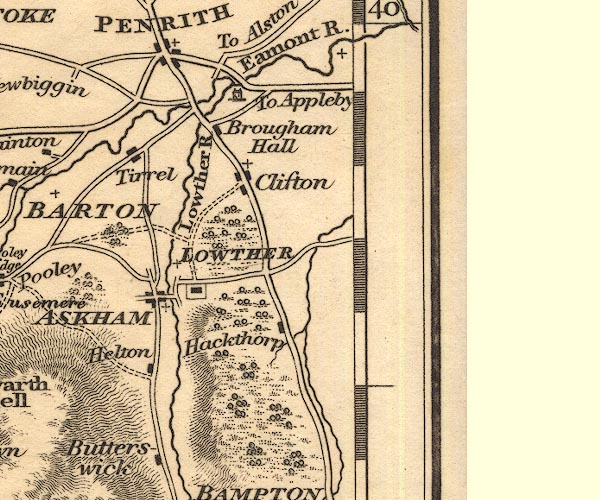
OT02NY52.jpg
"Lowther R."
item:- JandMN : 48.1
Image © see bottom of page
|
|
|
| evidence:- |
old map:- Hall 1820 (Wmd)
placename:- Lowther River
|
| source data:- |
Map, hand coloured engraving, Westmoreland ie Westmorland, scale
about 14.5 miles to 1 inch, by Sidney Hall, London, 1820,
published by Samuel Leigh, 18 Strand, London, 1820-31.
 click to enlarge click to enlarge
HA18.jpg
"Lowther R."
tapering wiggly line; river
item:- Armitt Library : 2008.14.58
Image © see bottom of page
|
|
|
| evidence:- |
descriptive text:- Otley 1823 (5th edn 1834)
|
| source data:- |
Guide book, A Concise Description of the English Lakes, the
mountains in their vicinity, and the roads by which they may be
visited, with remarks on the mineralogy and geology of the
district, by Jonathan Otley, published by the author, Keswick,
Cumberland now Cumbria, by J Richardson, London, and by Arthur
Foster, Kirkby Lonsdale, Cumbria, 1823; published 1823-49,
latterly as the Descriptive Guide to the English Lakes.
 goto source goto source
Page 40:- "... it [River Eamont] receives the Lowther, from Hawes Water, Swindale, and Wetsleddale, near Brougham Castle; ..."
|
|
|
| evidence:- |
old map:- Garnett 1850s-60s H
placename:- Lowther, River
|
| source data:- |
Map of the English Lakes, in Cumberland, Westmorland and
Lancashire, scale about 3.5 miles to 1 inch, published by John
Garnett, Windermere, Westmorland, 1850s-60s.
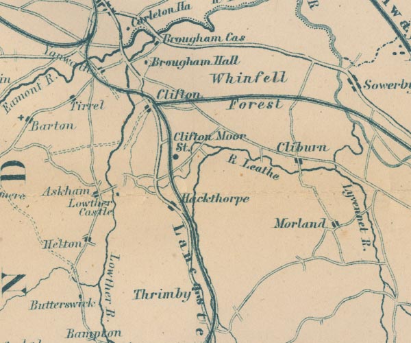
GAR2NY52.jpg
"Lowther R."
wiggly line, river
item:- JandMN : 82.1
Image © see bottom of page
|
|
|
| evidence:- |
old map:- Postlethwaite 1877 (3rd edn 1913)
placename:- Lowther, River
|
| source data:- |
Map, uncoloured engraving, Map of the Lake District Mining Field, Westmorland, Cumberland,
Lancashire, scale about 5 miles to 1 inch, by John Postlethwaite, published by W H
Moss and Sons, 13 Lowther Street, Whitehaven, Cumberland, 1877 edn 1913.
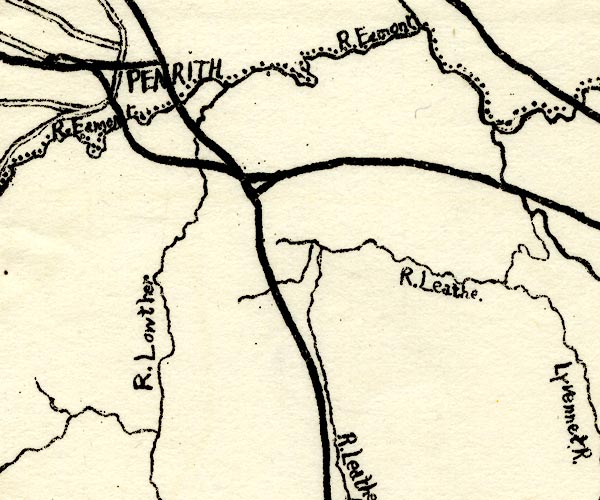
PST2NY52.jpg
"R. Lowther"
wiggly line, running into the Eamont
item:- JandMN : 162.2
Image © see bottom of page
|
|
|
| evidence:- |
old map:- LMS 1920s maps
|
| source data:- |
Railway map, lithograph, 23 pages of strip maps, The Journey in
Brief, the Route London to Carlisle, published by the London
Midland and Scottish Railway, LMS, 1920s.
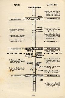 click to enlarge click to enlarge
LS3p28.jpg
item:- JandMN : 95.2
Image © see bottom of page
|
|
|
| evidence:- |
old print:- Bogg 1898
|
| source data:- |
Print, engraving, Vale of Lowther, Lowther Park, Lowther, Westmorland, by A Haselgrave,
published by Edmund Bogg, 3 Woodhouse Lane, and James Miles, Guildford Street, Leeds,
Yorkshire, 1898.
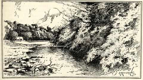 click to enlarge click to enlarge
BGG134.jpg
Included on p.129 of Lakeland and Ribblesdale, by Edmund Bogg.
item:- JandMN : 231.34
Image © see bottom of page
|
|
|
| evidence:- |
old print:- Green 1815 (plate 24)
placename:- Lowther, River
|
| source data:- |
Print, colour aquatint, Scene on the River Lowther, Shap Rural? by William Green,
Ambleside, Westmorland, 1815.
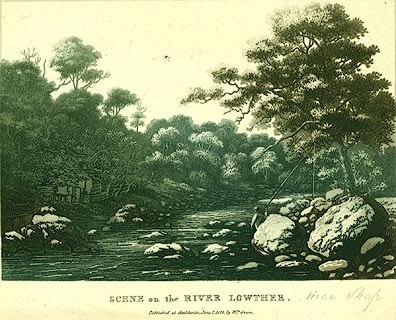 click to enlarge click to enlarge
PR0113.jpg
Plate 24 in a set of prints, Lake Scenery.
printed at bottom:- "SCENE on the RIVER LOWTHER. / Published at Ambleside, June 1, 1815, by Wm. Green."
item:- Dove Cottage : 2008.107.113
Image © see bottom of page
|
|
|
|
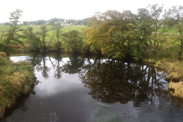
CFP91.jpg At Crookwath Bridge,
(taken 21.10.2016)
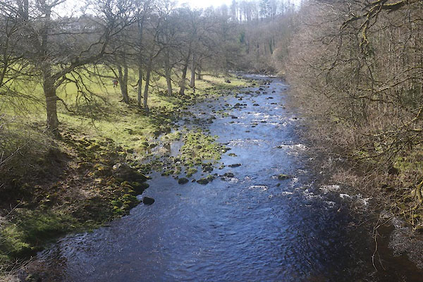
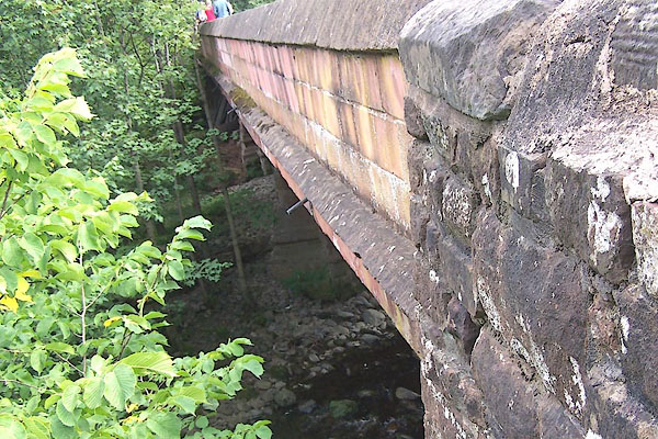
CFY55.jpg At Low Gardens Bridge,
(taken 26.3.2017)
|
|
|
| places:- |
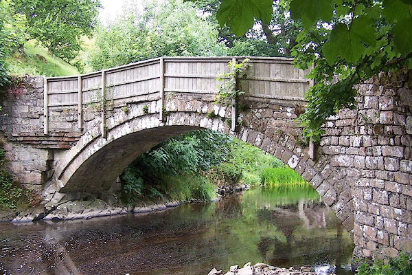 |
NY54731534 Abbey Bridge (Shap Rural) |
|
|
 |
NY54851490 Abbey Mill (Shap Rural) gone |
|
|
 |
NY51892218 Andrew's Loom (Lowther / Askham) |
|
|
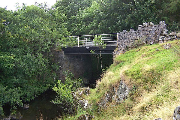 |
NY56011255 bridge, Shap Rural (2) (Shap / Shap Rural) |
|
|
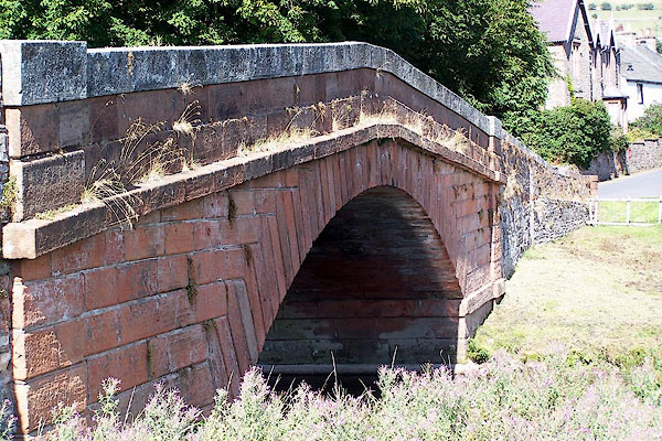 |
NY52071801 Church Bridge (Bampton) L |
|
|
 |
NY56031251 Crogs Mill (Shap) gone |
|
|
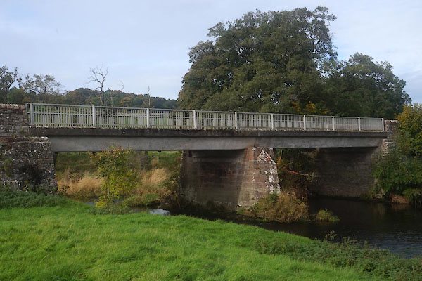 |
NY51752225 Crookwath Bridge (Lowther / Askham) |
|
|
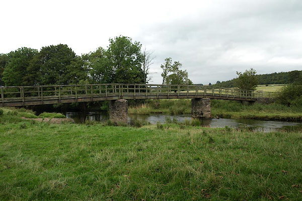 |
NY51722142 footbridge, Bampton (Bampton) |
|
|
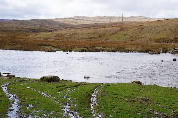 |
NY55611407 ford, Thornship (Shap / Shap Rural) |
|
|
 |
NY51451955 Green Crook (Bampton) |
|
|
 |
NY52552704 Hughscrag Viaduct (Yanwath and Eamont Bridge / Clifton) L |
|
|
 |
NY55311434 Keld Dub (Shap Rural) |
|
|
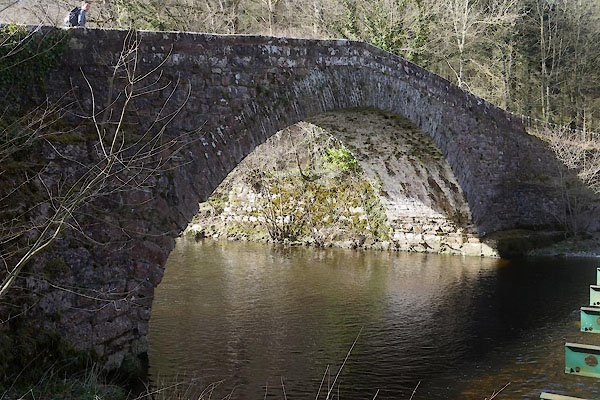 |
NY52102502 Low Gardens Bridge (Lowther / Yanwath and Eamont Bridge) L |
|
|
 |
NY52462820 Lowther Bridge (Yanwath and Eamont Bridge / Clifton) |
|
|
 |
NY51722420 mill, Lowther (Lowther) |
|
|
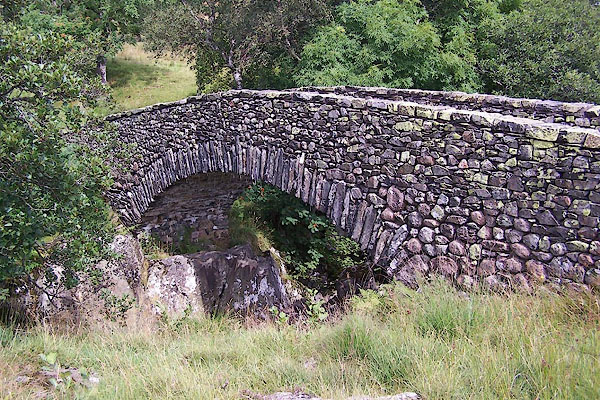 |
NY54021099 packhorse bridge, Wet Sleddale (Shap Rural) |
|
|
 |
NY52512790 Poak Mill (Yanwath and Eamont Bridge) gone? |
|
|
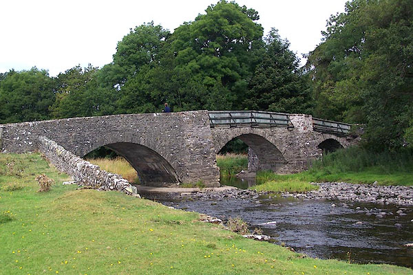 |
NY53421652 Rosgill Bridge (Shap Rural) L |
|
|
 |
NY53471661 Rosgill Mill (Shap Rural) |
|
|
 |
NY55102378 Rowland's Lum (Lowther) |
|
|
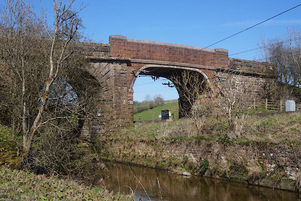 |
NY55762022 Thrimby Bridge (Thrimby) |
|
|
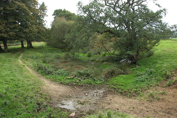 |
NY51692136 Tom Winder's Loom (Bampton) |
|
|
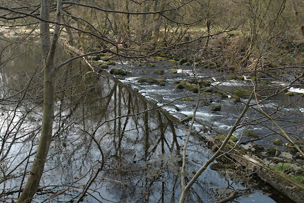 |
NY51762404 weir, Lowther (Lowther / Askham) |
|
|
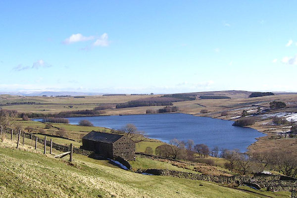 |
NY550115 Wet Sleddale Reservooir (Shap Rural) |
|
|
 |
NY55411176 Wet Sleddale (Shap Rural) |
|
|
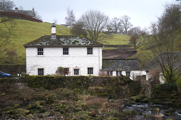 |
NY51722405 Askham Mill (Askham) |
|


 Eamont, River

 click to enlarge
 click to enlarge
 click to enlarge


 goto source


 click to enlarge
 click to enlarge


 click to enlarge
 goto source
 click to enlarge


 goto source
 goto source
 click to enlarge
 goto source
 click to enlarge
 goto source
 click to enlarge
 click to enlarge
 click to enlarge
 click to enlarge
 click to enlarge
 click to enlarge
 goto source

 click to enlarge
 click to enlarge
 click to enlarge


