 Old Cumbria Gazetteer
 |
 |
|
| Abbey Bridge, Shap Rural | ||
| Abbey Bridge | ||
| site name:- | Lowther, River | |
| locality:- | Shap Abbey | |
| civil parish:- | Shap Rural (formerly Westmorland) | |
| county:- | Cumbria | |
| locality type:- | bridge | |
| coordinates:- | NY54731534 | |
| 1Km square:- | NY5415 | |
| 10Km square:- | NY51 | |
|
|
||
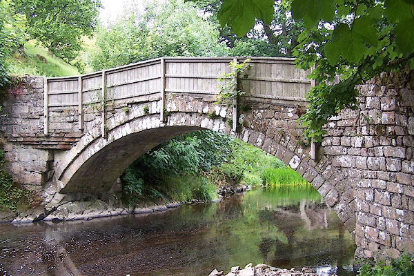 BJQ49.jpg (taken 22.7.2005) |
||
|
|
||
| evidence:- | old map:- OS County Series (Wmd 14 13) placename:- Abbey Bridge |
|
| source data:- | Maps, County Series maps of Great Britain, scales 6 and 25
inches to 1 mile, published by the Ordnance Survey, Southampton,
Hampshire, from about 1863 to 1948. "Abbey Bridge" and just upstream of the existing bridge:- "Bridge (Remains of)" |
|
|
|
||
| evidence:- | old print:- Green 1819 |
|
| source data:- | Print, soft ground etching, Shap Abbey, Westmorland, by William Green, 1820, published
by R Lough and Co, Chronicle Office, Finkle Street, Kendal, and others, 1820.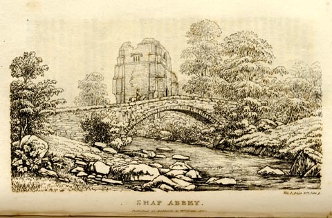 click to enlarge click to enlargeGN0113.jpg Tipped in opposite vol.1 p.377 of The Tourist's New Guide, by William Green. printed at bottom right, centre:- "Vol.I, page 377, line 9. / SHAP ABBEY. / Published at Ambleside, by Wm. Green, 1820." item:- Armitt Library : A1141.14 Image © see bottom of page |
|
|
|
||
| MN photo:- |
Just downstream of the bridge is a narrow path leading towards the river, ending some
feet above water level. This is not understood. One suggestion was that it was to
herd sheep to drop in the water, a sheep wash; we have NO evidence to support this
idea. |
|
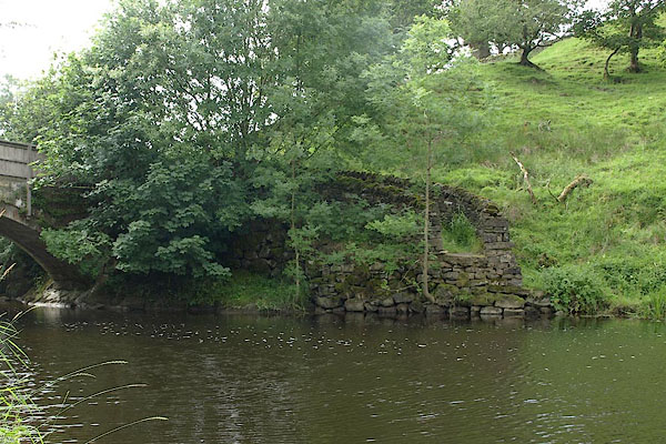 BTF27.jpg (taken 18.7.2010) 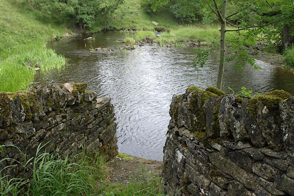 BTF28.jpg (taken 18.7.2010) |
||
|
|
||
 Lakes Guides menu.