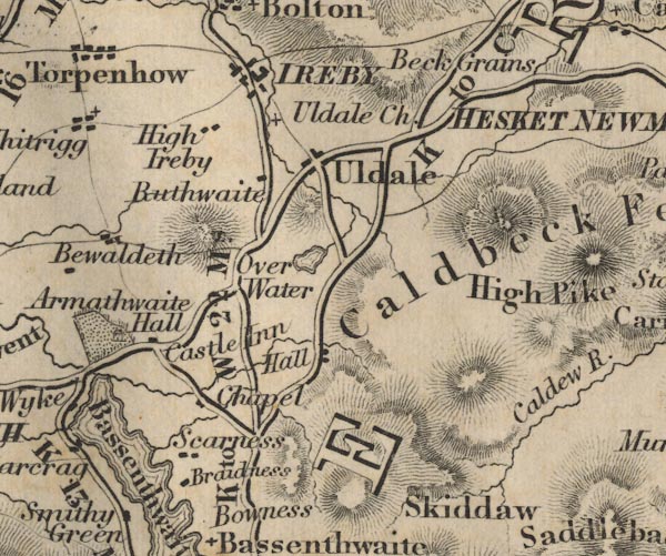
 Ford 1839 map NY23


|

|
|
|
gazetteer links places may or may not be labelled on the map |
||

|
-- Armathwaite Hall -- "Armathwaite Hall" |
|
|
|
-- Bassenthwaite Lake -- "Bassenthwaite Wr."--
Bassenthwaite Lake -- "Bassenthwaite Wr." |
|
|
|
-- Beck Grange (?) -- "Beck Grains" |
|
|
|
-- Broadness -- "Bradness" |
|
|
|
-- Caldbeck Fells -- "Caldbeck Fells" |
|
|
|
-- Castle Inn -- "Castle Inn" |
|
|
|
-- Bassenthwaite Chapel -- "Chapel" |
|
|
|
-- High Ireby -- "High Ireby" |
|
|
|
-- Ireby -- "IREBY" |
|
|
|
-- Orthwaite Hall -- "Hall" |
|
|
|
-- Over Water -- "Over Water" |
|
|
|
-- Keswick to Carlisle -- "K to C 27 Ms." -- "K to
C 27 Ms." |
|
|
|
-- Keswick to Wigton -- "K to W 22 Ms." |
|
|
|
-- Ruthwaite -- "Buthwaite" |
|
|
|
-- Scarness -- "Scarness" |
|
|
|
-- Skiddaw -- "Skiddaw" |
|
|
|
-- St James's Church -- "Uldale Ch." |
|
|
civil parishes The area roughly includes parts of parishes:- Setmurthy Blindcrake Blennerhasset and Torpenhow Boltons Bewaldeth and Snittlegarth Underskiddaw Bassenthwaite Ireby Mungrisdale Caldbeck Wythop |
||
|
|
||
|
|
Lakes Guides menu. | |