

placename:- High Ireby
placename:- Ireby, High

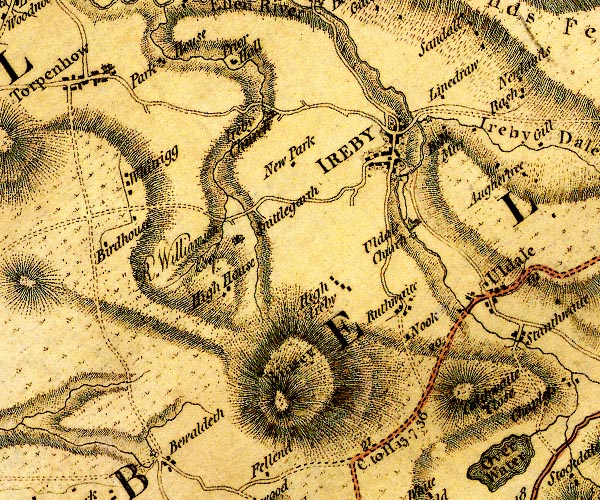
D4NY23NW.jpg
"High Ireby"
block or blocks, labelled in lowercase; a hamlet or just a house
item:- Carlisle Library : Map 2
Image © Carlisle Library
placename:- High Ireby

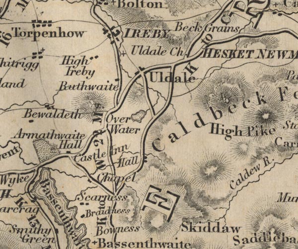
FD02NY23.jpg
"High Ireby"
item:- JandMN : 100.1
Image © see bottom of page
placename:- Ireby Alta
placename:- High Ireby
 goto source
"..."
"Westward of Penrith, and not far from the Head of the River Eln, stands"
"Ierby, ... is become two Manors, the one called Ireby Alta, or High Ireby, and the other Ireby Basse, or Low Ireby, and often Market Ireby, because tho' the other be the more ancient Town, ... this ... hath always been of more Account, ... The High Ireby, was a long Time the Possession of a Family of that Name, descended from Orme de Ireby, Son of Gospatrick. ..."
 |
NY23243769 Bintee Quarries (Ireby) |
 |
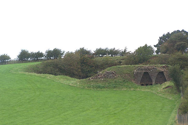
NY231376 limekiln, Ireby (Ireby) |
 |
NY23063706 pinfold, High Ireby (Ireby) not found |
 |
NY231376 quarry, High Ireby (Ireby) |
