 Old Cumbria Gazetteer
 |
 |
|
| Beck Grange, Caldbeck | ||
| Beck Grange | ||
| civil parish:- | Caldbeck (formerly Cumberland) | |
| county:- | Cumbria | |
| locality type:- | buildings | |
| coordinates:- | NY29983907 | |
| 1Km square:- | NY2939 | |
| 10Km square:- | NY23 | |
|
|
||
| evidence:- | old map:- OS County Series (Cmd 37 15) placename:- Beck Grange |
|
| source data:- | Maps, County Series maps of Great Britain, scales 6 and 25
inches to 1 mile, published by the Ordnance Survey, Southampton,
Hampshire, from about 1863 to 1948. "Beck Grange" |
|
|
|
||
| evidence:- | old map:- Donald 1774 (Cmd) placename:- Beckgrange |
|
| source data:- | Map, hand coloured engraving, 3x2 sheets, The County of Cumberland, scale about 1
inch to 1 mile, by Thomas Donald, engraved and published by Joseph Hodskinson, 29
Arundel Street, Strand, London, 1774.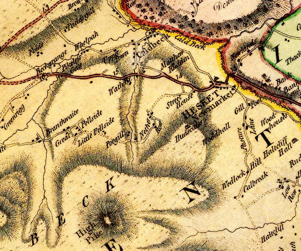 D4NY33NW.jpg "Beckgrange" block or blocks, labelled in lowercase; a hamlet or just a house item:- Carlisle Library : Map 2 Image © Carlisle Library |
|
|
|
||
| evidence:- | old map:- Greenwood 1824 (Cmd) placename:- Beckgrains |
|
| source data:- | Map, engraving, Map of the County of Cumberland, scale about 1
inch to 1 mile, etc, by Christopher and John Greenwood,
published by George Pringle jnr, 70 Queen Street, Cheapside,
London, 1823.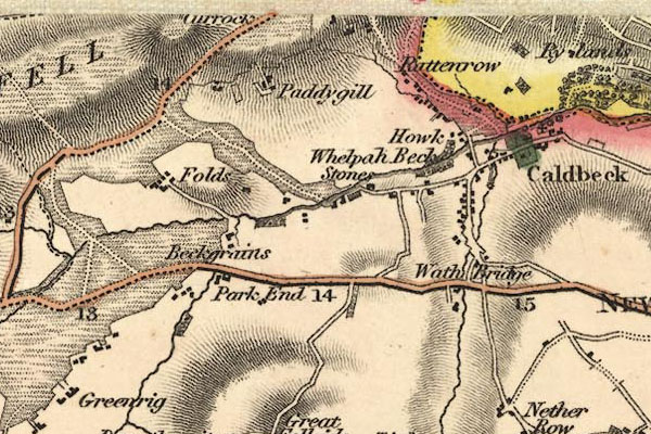 gw12cdbk.jpg item:- National Library of Scotland : EME.b.3.11 Image © National Library of Scotland |
|
|
|
||
| evidence:- | old map:- Ford 1839 map placename:- Beck Grains |
|
| source data:- | Map, uncoloured engraving, Map of the Lake District of
Cumberland, Westmoreland and Lancashire, scale about 3.5 miles
to 1 inch, published by Charles Thurnam, Carlisle, and by R
Groombridge, 5 Paternoster Row, London, 3rd edn 1843.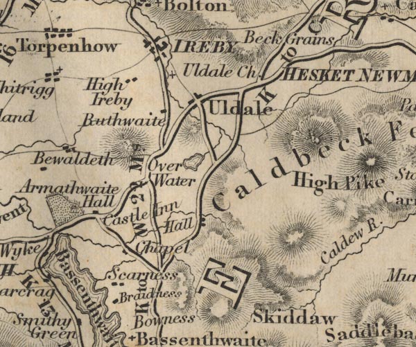 FD02NY23.jpg "Beck Grains" item:- JandMN : 100.1 Image © see bottom of page |
|
|
|
||
 Lakes Guides menu.