 |
 |
   |
|
|
|
Whitbeck |
| civil parish:- |
Whicham (formerly Cumberland) |
| county:- |
Cumbria |
| locality type:- |
locality |
| locality type:- |
buildings |
| coordinates:- |
SD11828439 (etc) |
| 1Km square:- |
SD1184 |
| 10Km square:- |
SD18 |
|
|
| evidence:- |
old map:- OS County Series (Cmd 87 8)
placename:- Whitbeck
|
| source data:- |
Maps, County Series maps of Great Britain, scales 6 and 25
inches to 1 mile, published by the Ordnance Survey, Southampton,
Hampshire, from about 1863 to 1948.
|
|
|
| evidence:- |
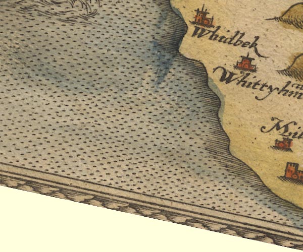
old map:- Saxton 1579
placename:- Whidbek
|
| source data:- |
Map, hand coloured engraving, Westmorlandiae et Cumberlandiae Comitatus ie Westmorland
and Cumberland, scale about 5 miles to 1 inch, by Christopher Saxton, London, engraved
by Augustinus Ryther, 1576, published 1579-1645.
Sax9SD08.jpg
Church, symbol for a parish or village, with a parish church. "Whidbek"
Settlement.
item:- private collection : 2
Image © see bottom of page
|
|
|
| evidence:- |
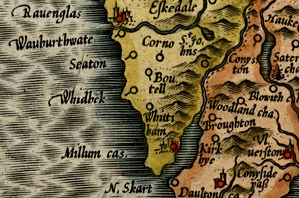
old map:- Mercator 1595 (edn?)
placename:- Whidbek
|
| source data:- |
Map, hand coloured engraving, Westmorlandia, Lancastria, Cestria
etc, ie Westmorland, Lancashire, Cheshire etc, scale about 10.5
miles to 1 inch, by Gerard Mercator, Duisberg, Germany, 1595,
edition 1613-16.
MER5CumG.jpg
"Whidbek"
circle
item:- Armitt Library : 2008.14.3
Image © see bottom of page
|
|
|
| evidence:- |
old map:- Keer 1605
placename:- Whidbek
|
| source data:- |
Map, hand coloured engraving, Westmorland and Cumberland, scale
about 16 miles to 1 inch, probably by Pieter van den Keere, or
Peter Keer, about 1605 edition perhaps 1676.
 click to enlarge click to enlarge
KER8.jpg
"Whidbek"
dot, circle and tower; village, tinted red
item:- Dove Cottage : 2007.38.110
Image © see bottom of page
|
|
|
| evidence:- |
old map:- Speed 1611 (Cum/EW)
placename:- Whidback
|
| source data:- |
Map, hand coloured engraving, Kingdome of Great Britaine and
Ireland, scale about 36 miles to 1 inch, by John Speed, about
1610-11, published by Thomas Bassett, Fleet Street and Richard
Chiswell, St Paul's Churchyard, London, 1676?
 click to enlarge click to enlarge
SPD6Cm.jpg
"Whidback"
dot, circle, and tower
item:- private collection : 85
Image © see bottom of page
|
|
|
| evidence:- |
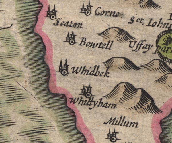
old map:- Speed 1611 (Cmd)
placename:- Whidbeck
|
| source data:- |
Map, hand coloured engraving, Cumberland and the Ancient Citie
Carlile Described, scale about 4 miles to 1 inch, by John Speed,
1610, published by J Sudbury and George Humble, Popes Head
Alley, London, 1611-12.
SP11SD18.jpg
"Whidbeck"
circle, towers
item:- private collection : 16
Image © see bottom of page
|
|
|
| evidence:- |
old map:- Jenner 1643
placename:- Whilbek
|
| source data:- |
Tables of distances with a maps, Westmerland, scale about 16
miles to 1 inch, and Cumberland, scale about 21 miles to 1 inch,
published by Thomas Jenner, London, 1643; published 1643-80.

JEN4Sq.jpg
"Whilbek"
circle
|
|
|
| evidence:- |
old map:- Jansson 1646
placename:- Whidbek
|
| source data:- |
Map, hand coloured engraving, Cumbria and Westmoria, ie
Cumberland and Westmorland, scale about 3.5 miles to 1 inch, by
John Jansson, Amsterdam, Netherlands, 1646.
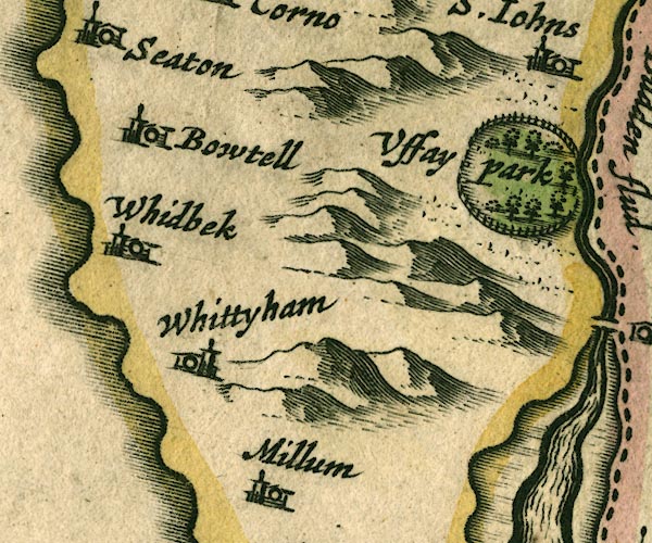
JAN3SD18.jpg
"Whidbek"
Buildings and tower.
item:- JandMN : 88
Image © see bottom of page
|
|
|
| evidence:- |
old map:- Seller 1694 (Cmd)
placename:- Whidbek
|
| source data:- |
Map, uncoloured engraving, Cumberland, scale about 12 miles to 1
inch, by John Seller, 1694.
 click to enlarge click to enlarge
SEL9.jpg
"Whidbek"
circle, italic lowercase text; settlement or house
item:- Dove Cottage : 2007.38.89
Image © see bottom of page
|
|
|
| evidence:- |
old map:- Morden 1695 (Cmd)
placename:- Whidbeck
|
| source data:- |
Map, uncoloured engraving, Cumberland, scale about 4 miles to 1
inch, by Robert Morden, 1695, published by Abel Swale, the
Unicorn, St Paul's Churchyard, Awnsham, and John Churchill, the
Black Swan, Paternoster Row, London, 1695-1715.
MD12SD08.jpg
"Whidbeck"
Circle, building and tower.
item:- JandMN : 90
Image © see bottom of page
|
|
|
| evidence:- |
old map:- Badeslade 1742
placename:- Whidbeck
|
| source data:- |
Map, uncoloured engraving, A Map of Cumberland North from
London, scale about 11 miles to 1 inch, with descriptive text,
by Thomas Badeslade, London, engraved and published by William
Henry Toms, Union Court, Holborn, London, 1742.
 click to enlarge click to enlarge
BD10.jpg
"Whidbeck"
circle, italic lowercase text; village, hamlet or locality
item:- JandMN : 115
Image © see bottom of page
|
|
|
| evidence:- |
old map:- Bowen and Kitchin 1760
placename:- Whidbeck
|
| source data:- |
Map, hand coloured engraving, A New Map of the Counties of
Cumberland and Westmoreland Divided into their Respective Wards,
scale about 4 miles to 1 inch, by Emanuel Bowen and Thomas
Kitchin et al, published by T Bowles, Robert Sayer, and John
Bowles, London, 1760.
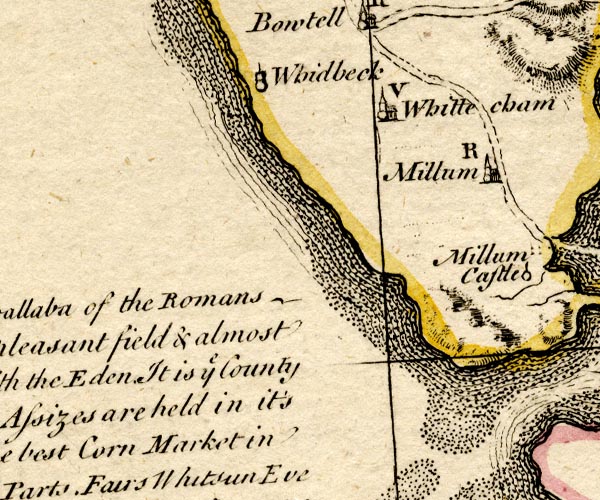
BO18SD07.jpg
"Whidbeck"
circle, tower
item:- Armitt Library : 2008.14.10
Image © see bottom of page
|
|
|
| evidence:- |
old map:- Donald 1774 (Cmd)
placename:- Whitbeck
|
| source data:- |
Map, hand coloured engraving, 3x2 sheets, The County of Cumberland, scale about 1
inch to 1 mile, by Thomas Donald, engraved and published by Joseph Hodskinson, 29
Arundel Street, Strand, London, 1774.
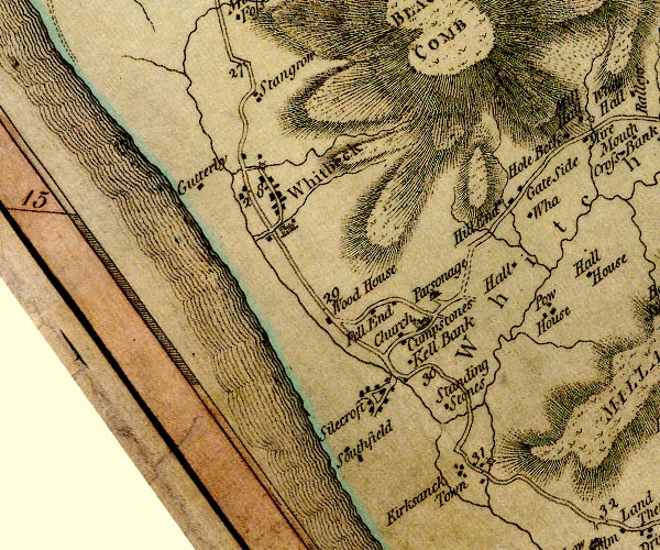
D4SD18SW.jpg
"Whitbeck"
blocks, and usually a church, labelled in upright lowercase; a village
item:- Carlisle Library : Map 2
Image © Carlisle Library |
|
|
| evidence:- |
old map:- Cooke 1802
placename:- Whitbeck
|
| source data:- |
Map, Cumberland, scale about 15.5 miles to 1 inch, by George
Cooke, 1802, bound in Gray's New Book of Roads, 1824, published
by Sherwood, Jones and Co, Paternoster Road, London, 1824.
 click to enlarge click to enlarge
GRA1Cd.jpg
"Whitbeck"
blocks, italic lowercase text, village, hamlet, locality
item:- Hampshire Museums : FA2000.62.2
Image © see bottom of page
|
|
|
| evidence:- |
old map:- Laurie and Whittle 1806
placename:- Whitbeck
|
| source data:- |
Road map, Completion of the Roads to the Lakes, scale about 10
miles to 1 inch, by Nathaniel Coltman? 1806, published by Robert
H Laurie, 53 Fleet Street, London, 1834.
 click to enlarge click to enlarge
Lw18.jpg
"Whitbeck 286"
village or other place; distance from London
item:- private collection : 18.18
Image © see bottom of page
|
|
|
| evidence:- |
old map:- Wallis 1810 (Cmd)
placename:- Whitbeck
|
| source data:- |
Road map, hand coloured engraving, Cumberland, scale about 16
miles to 1 inch, by James Wallis, 77 Berwick Stree, Soho,
London, 1810.
 click to enlarge click to enlarge
WL13.jpg
"Whitbeck"
village, hamlet, house, ...
item:- Dove Cottage : 2009.81.10
Image © see bottom of page
|
|
|
| evidence:- |
old map:- Otley 1818
placename:- Whitbeck
|
| source data:- |
Map, uncoloured engraving, The District of the Lakes,
Cumberland, Westmorland, and Lancashire, scale about 4 miles to
1 inch, by Jonathan Otley, 1818, engraved by J and G Menzies,
Edinburgh, Scotland, published by Jonathan Otley, Keswick,
Cumberland, et al, 1833.
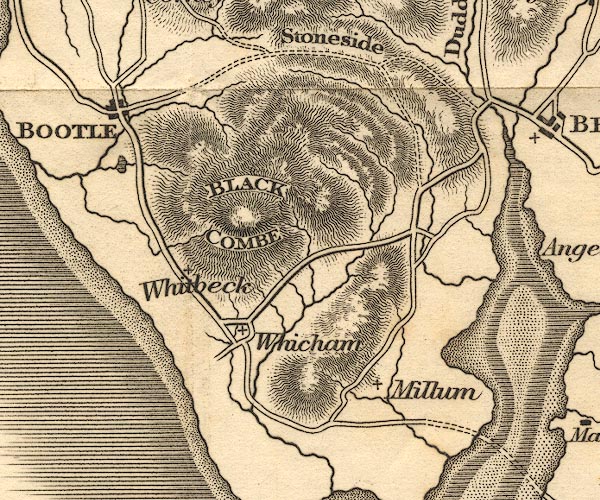
OT02SD18.jpg
item:- JandMN : 48.1
Image © see bottom of page
|
|
|
| evidence:- |
old map:- Hall 1820 (Cmd)
placename:- Whitbeck
|
| source data:- |
Map, hand coloured engraving, Cumberland, scale about 21 miles
to 1 inch, engraved by Sidney Hall, published by S Leigh, 18
Strand, London, 1820-31.
 click to enlarge click to enlarge
HA14.jpg
"Whitbeck"
circle, italic lowercase text; settlement
item:- JandMN : 91
Image © see bottom of page
|
|
|
| evidence:- |
old map:- Ford 1839 map
placename:- Whitbeck
|
| source data:- |
Map, uncoloured engraving, Map of the Lake District of
Cumberland, Westmoreland and Lancashire, scale about 3.5 miles
to 1 inch, published by Charles Thurnam, Carlisle, and by R
Groombridge, 5 Paternoster Row, London, 3rd edn 1843.
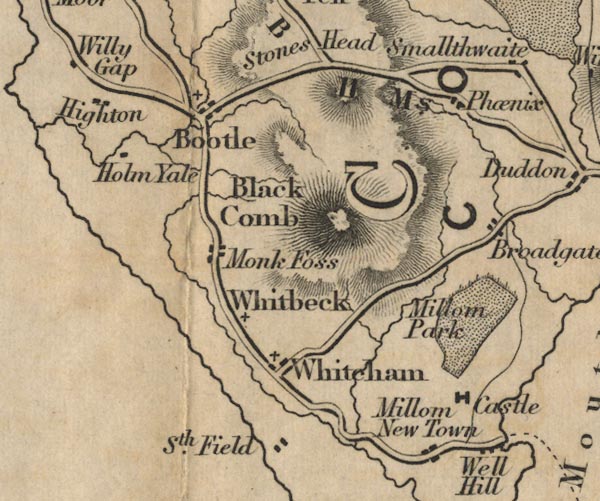
FD02SD18.jpg
"Whitbeck"
item:- JandMN : 100.1
Image © see bottom of page
|
|
|
| evidence:- |
old map:- Garnett 1850s-60s H
placename:- Whitbeck
|
| source data:- |
Map of the English Lakes, in Cumberland, Westmorland and
Lancashire, scale about 3.5 miles to 1 inch, published by John
Garnett, Windermere, Westmorland, 1850s-60s.
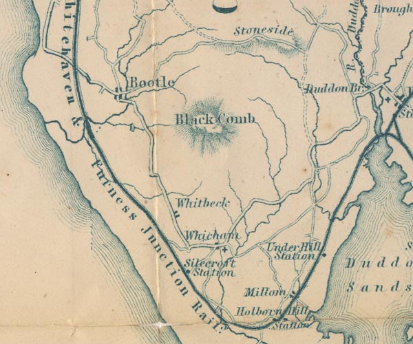
GAR2SD18.jpg
"Whitbeck"
blocks, settlement
item:- JandMN : 82.1
Image © see bottom of page
|
|
|
| places:- |
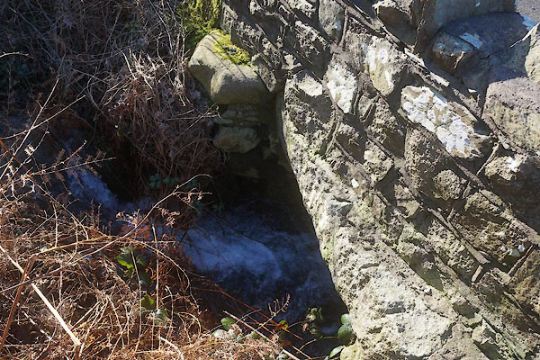 |
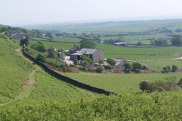
SD11488462 bridge, Whitbeck (Whicham) |
|
|
 |
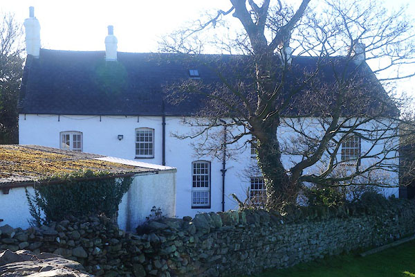
SD11658468 Gate House (Whicham) |
|
|
 |
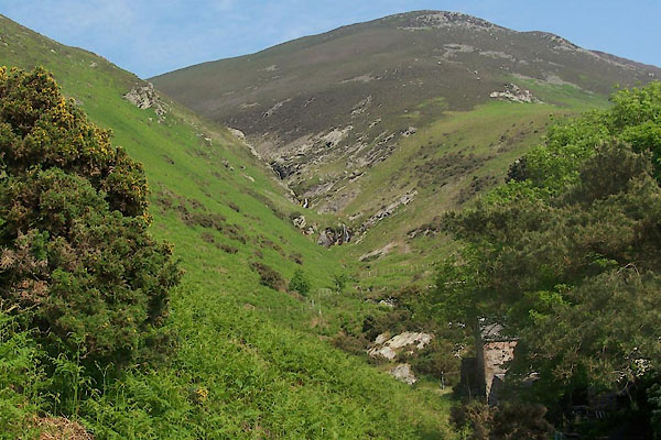
SD11538446 Hillcrest (Whicham) |
|
|
 |
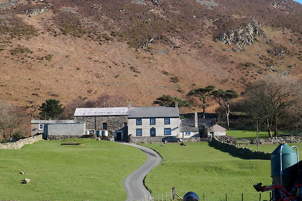
SD1085 Millergill Beck (Whicham) |
|
|
 |
SD11758457 Moor Green (Whicham) |
|
|
 |
SD11878398 post box, Whitbeck (Whicham) |
|
|
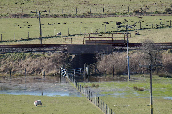 |
SD11718368 railway bridge, Whitbeck (Whicham) |
|
|
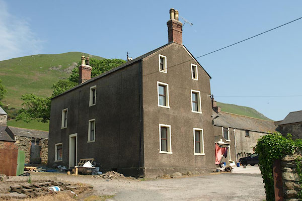 |
SD11988400 Townend Hall (Whicham) L |
|
|
 |
SD11918467 waterfall, Whitbeck (Whicham) |
|
|
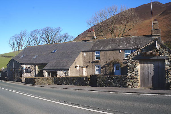 |
SD11488465 Wayside (Whicham) |
|
|
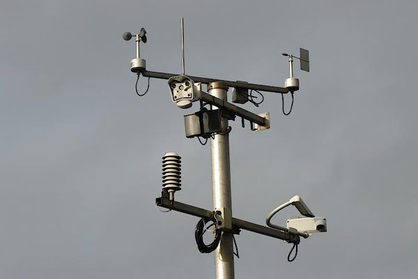 |
SD11968385 weather station, Whitbeck (Whicham) |
|
|
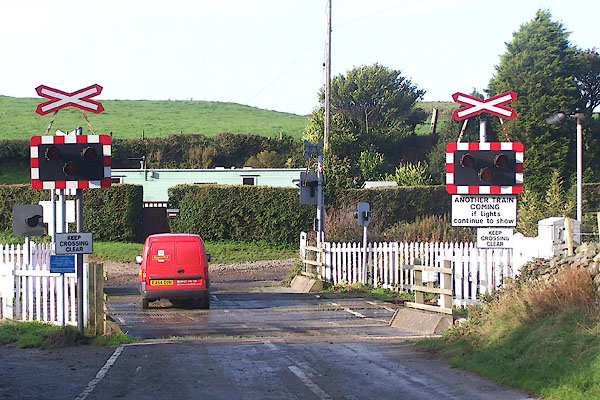 |
SD11598388 Whitbeck Crossing (Whicham) |
|
|
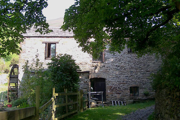 |
SD11778466 Whitbeck Mill (Whicham) L |
|
|
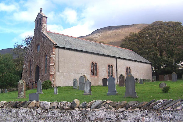 |
SD11938397 St Mary's Church (Whicham) L |
|
|
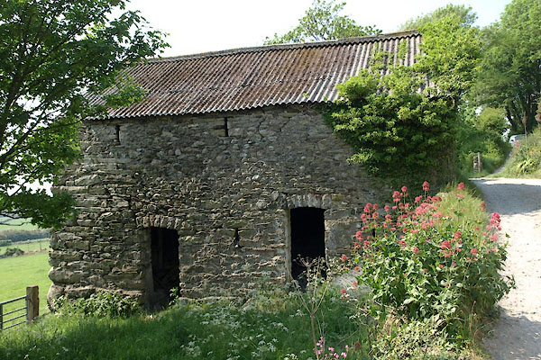 |
SD11948410 barn, Whitbeck (Whicham) |
|


 click to enlarge
 click to enlarge


 click to enlarge
 click to enlarge

 click to enlarge
 click to enlarge
 click to enlarge
 click to enlarge


