Old Cumbria Gazetteer
 |
 |
|
||
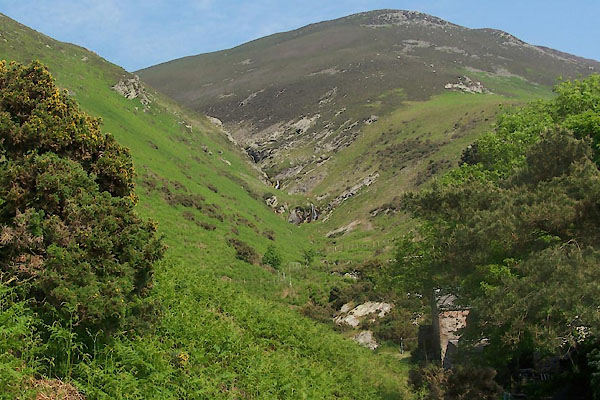
| Millergill Beck | ||||
| runs into:- |  Annas, River Annas, River |
|||
|
|
||||
| locality:- | Whitbeck | |||
| civil parish:- | Whicham (formerly Cumberland) | |||
| county:- | Cumbria | |||
| locality type:- | river | |||
| 1Km square:- | SD1085 (etc) | |||
| 10Km square:- | SD18 | |||
|
|
||||
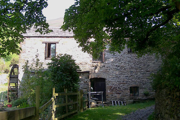
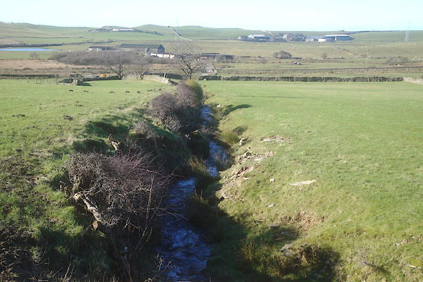
 BWR01.jpg (taken 27.5.2012) |
||||
|
|
||||
| evidence:- | old map:- Donald 1774 (Cmd) |
|||
| source data:- | Map, hand coloured engraving, 3x2 sheets, The County of Cumberland, scale about 1
inch to 1 mile, by Thomas Donald, engraved and published by Joseph Hodskinson, 29
Arundel Street, Strand, London, 1774.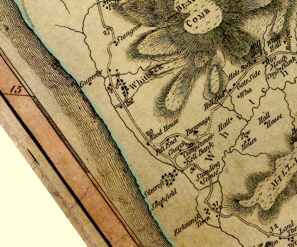 D4SD18SW.jpg single or double wiggly line; a river item:- Carlisle Library : Map 2 Image © Carlisle Library |
|||
|
|
||||
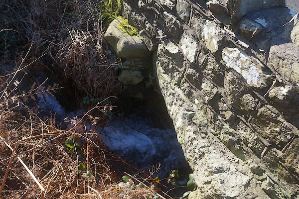
 CEO70.jpg at the bridge, Whitbeck, (taken 23.2.2016) |
||||
|
|
||||
| places:- |
|
|||
|
||||
|
||||
|
||||
Lakes Guides menu.