 Old Cumbria Gazetteer
 |
 |
|
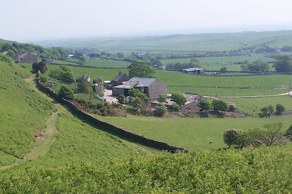
| Gate House, Whitbeck | ||
| Gate House | ||
| locality:- | Whitbeck | |
| civil parish:- | Whicham (formerly Cumberland) | |
| county:- | Cumbria | |
| locality type:- | buildings | |
| coordinates:- | SD11658468 | |
| 1Km square:- | SD1184 | |
| 10Km square:- | SD18 | |
|
|
||
 BWQ99.jpg (taken 27.5.2012) |
||
|
|
||
| evidence:- | old map:- OS County Series (Cmd 87 8) placename:- Gate House |
|
| source data:- | Maps, County Series maps of Great Britain, scales 6 and 25
inches to 1 mile, published by the Ordnance Survey, Southampton,
Hampshire, from about 1863 to 1948. |
|
|
|
||
 Lakes Guides menu.