


 Rothay, River
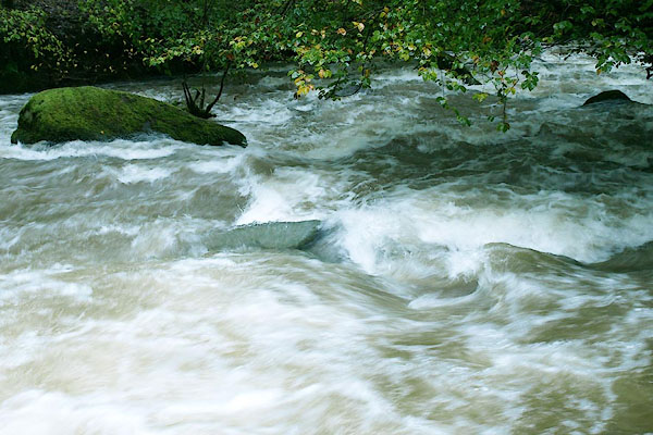
BPS74.jpg At the footbridge.
(taken 10.10.2008)
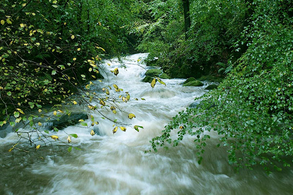
BPS75.jpg At the footbridge.
(taken 10.10.2008)
placename:- Stock Gill
OS County Series (Wmd 26 6)
OS County Series (Wmd 26 7)
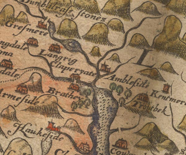
Sax9NY30.jpg
item:- private collection : 2
Image © see bottom of page

MER5WmdA.jpg
""
double line with stream lines; river, running into Windermere lake
item:- Armitt Library : 2008.14.3
Image © see bottom of page
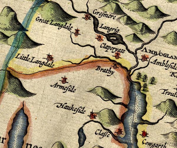
SP14NY30.jpg
wiggly line, into the Rothay
item:- Armitt Library : 2008.14.5
Image © see bottom of page
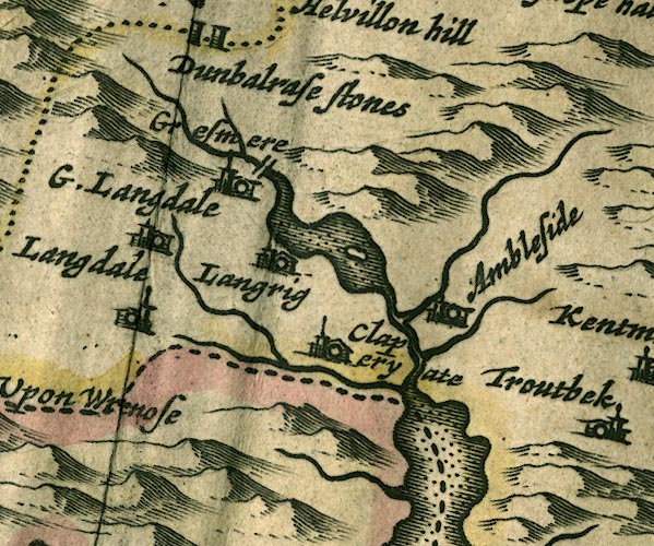
JAN3NY30.jpg
Single wiggly line.
item:- JandMN : 88
Image © see bottom of page
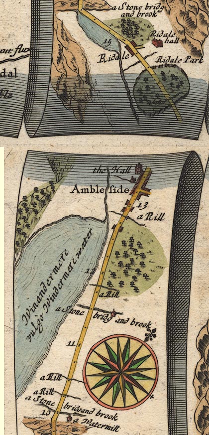
OG96m010.jpg
In mile 13, Westmoreland.
River left of the road, perhaps tributary to the River Rothay.
item:- JandMN : 22
Image © see bottom of page
 click to enlarge
SEL7.jpg
tapering wiggly line; river
item:- Dove Cottage : 2007.38.87
Image © see bottom of page
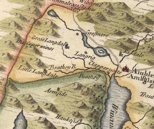
MD10NY30.jpg
Through Ambleside, into Windermere.
item:- JandMN : 24
Image © see bottom of page
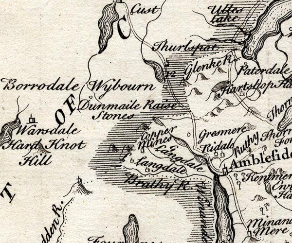
SMP2NYF.jpg
Wiggly line; into Windermere.
item:- Dove Cottage : 2007.38.59
Image © see bottom of page
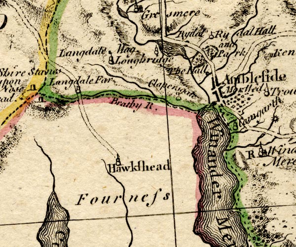
BO18SD29.jpg
wiggly line, into the Rothay
item:- Armitt Library : 2008.14.10
Image © see bottom of page
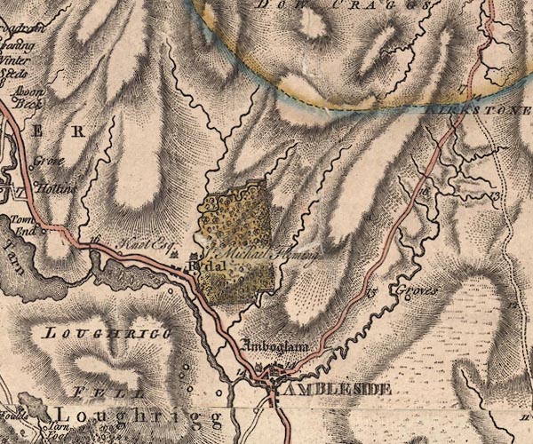
J5NY30NE.jpg
single or double wiggly line; river
item:- National Library of Scotland : EME.s.47
Image © National Library of Scotland
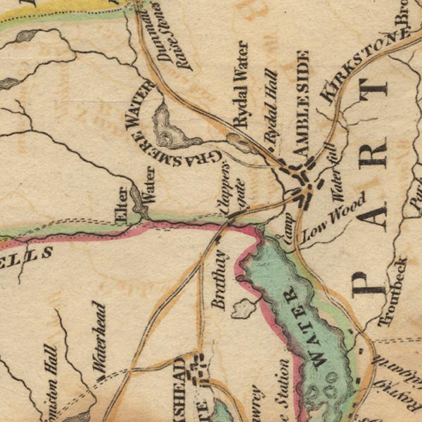
Ws02NY30.jpg
item:- Armitt Library : A1221.1
Image © see bottom of page
placename:- Stock Gill Beck
 goto source
Page 126:- "... Stock-Gill-Beck divides it [Ambleside, part of Rydal, in Grasmere parish] from the parish of Winandermere. ..."
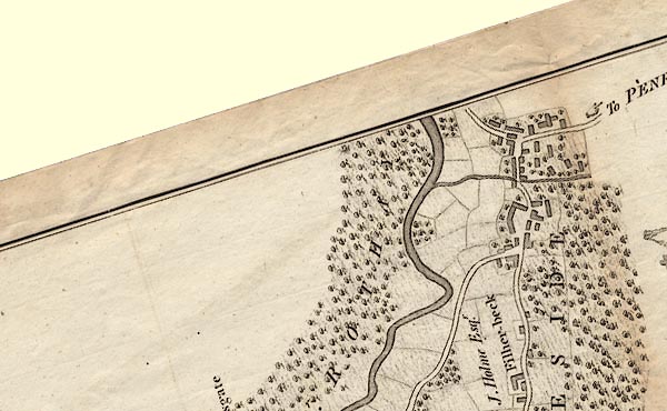
CLANY30S.jpg
item:- private collection : 10.10
Image © see bottom of page
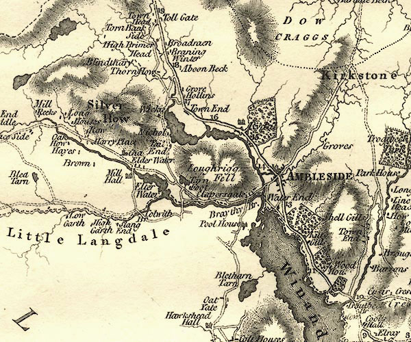
CY24NY30.jpg
river running into the Rothay
item:- JandMN : 129
Image © see bottom of page
placename:- Stock Gill
 goto source
page 20:- "..."
"Stock Gill arises in the screes on the side of Scandale fell, not far from Kirkstone, and running west of the high, middle, and low groves, passes through Ambleside near the Salutation inn, and joins the Rothay a quarter of"
page 21:- "a mile below the town, and about four miles from its source."
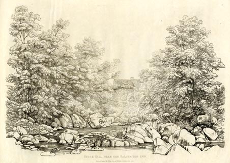
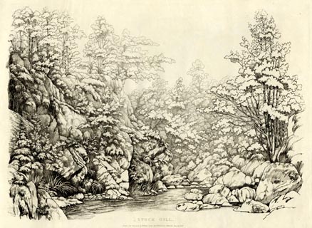
"The finest part of Stock Gill is comprehended between the woollen mill and Stock Gill Force, a distance of little more than half a mile, though on some parts of the stream above the force there are pretty spots not unworthy an artist's attention. At every step from the bridge to the waterfall, the river and its appendages exhibit either good compositions or rich detached pieces for the embellishment of landscape; the materials are beautifully transparent, water rolling along the rocky bed of the river in every variety of shape; and often displaying to the eye the prettiest of waterfalls; the margin of the stream is sometimes low, but often steep and grassy banks, or bold projecting rocks, rise to a great height, and are luxuriantly cloathed with grand and picturesque trees, fern, moss, and various other vegetation."
placename:- Stock Gill
 click to enlarge
GN1210.jpg
Plate 10 in Sixty Studies from Nature, 1810.
printed at top right:- "10"
printed at bottom:- "STOCK GILL NEAR THE SALUTATION INN. / Drawn and Engraved by William Green, and Published at Ambleside, June 24, 1810."
item:- Armitt Library : A6641.10
Image © see bottom of page
placename:- Stock Gill
 click to enlarge
GN1211.jpg
Plate 11 in Sixty Studies from Nature, 1810.
printed at top right:- "11"
printed at bottom:- "STOCK GILL. / Drawn and Engraved by William Green, and Published at Ambleside, June 24, 1808."
watermark:- "J WHATMAN / 1811"
item:- Armitt Library : A6641.11
Image © see bottom of page
placename:- Stock Gill
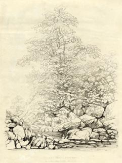
item:- cherry tree; tree
 click to enlarge
GN1212.jpg
Plate 12 in Sixty Studies from Nature, 1810.
printed at bottom:- "CHERRY TREE, STOCK GILL. / Drawn and Engraved by William Green, and Published at Ambleside, June 24, 1808."
watermark:- "J WHATMAN / 1813"
item:- Armitt Library : A6641.12
Image © see bottom of page
placename:- Stock Gill
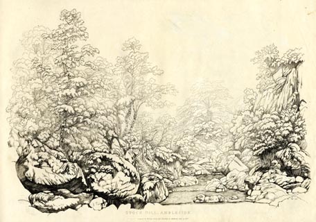 click to enlarge
GN1213.jpg
Plate 13 in Sixty Studies from Nature, 1810.
printed at top right:- "13"
printed at bottom:- "STOCK GILL, AMBLESIDE. / [ En]graved by William Green, and Published at Ambleside, June 24, 1808."
watermark:- "J WHATMAN / 1813"
item:- Armitt Library : A6641.13
Image © see bottom of page
placename:- Stock Gill
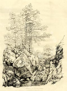 click to enlarge
GN1214.jpg
Plate 14 in Sixty Studies from Nature, 1810.
printed at top right:- "14"
printed at bottom:- "STUDY IN STOCK GILL. / Drawn and Engraved by William Green, and Published at Ambleside, June 24, 1808."
watermark:- "J WHATMAN / 1813"
item:- Armitt Library : A6641.14
Image © see bottom of page
placename:- Stock Gill
item:- waterfall
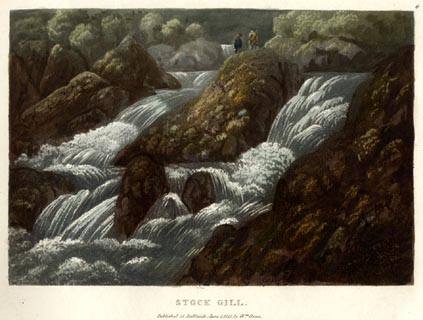 click to enlarge
GN0505.jpg
Plate 6 in Lake Scenery.
printed at upper right:- "6"
printed at bottom:- "STOCK GILL. / Published at Ambleside, June 1, 1815, by Wm. Green."
item:- Armitt Library : A6646.5
Image © see bottom of page
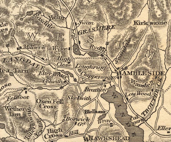
OT02NY30.jpg
item:- JandMN : 48.1
Image © see bottom of page
placename:- Stock Gill
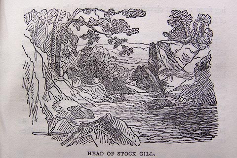 click to enlarge
O80E15.jpg
item:- Armitt Library : A1180.16
Image © see bottom of page
 goto source
Page 33:- "..."
"Rises in the Screes on Scandale Fells, not far from Kirkstone, and divides the town of Ambleside. The finest part of the stream is between the Woollen Mill and the Force. In looking up the river from its bed, the Pike of Wansfell forms a fine apex. Proceeding along the edge of a chasm for a short distance, the Fall bursts upon the sight of the visitor, ... the basin below; from which the waters rush along a gill, luxuriantly adorned with rock and wood, and wind-"
 goto source
Page 34:- "[wind]ing through it for the space of a mile, to which the Langdale Pikes form a fine distance. ..."
placename:- Stock Gill
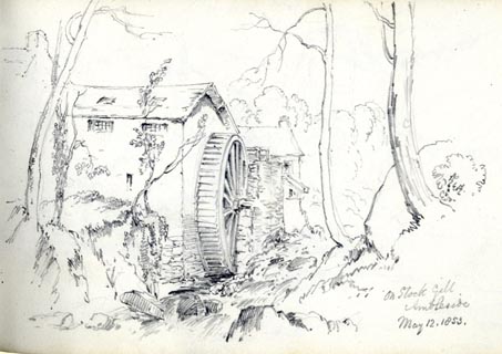 click to enlarge
AS0376.jpg
"On Stock Gill / Ambleside / May 12. 1853."
page number "60"
item:- Armitt Library : 1958.390.76
Image © see bottom of page
placename:- Stock Gill
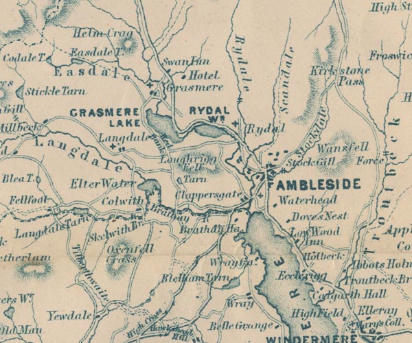
GAR2NY30.jpg
"Stock Gill"
two lines across a stream, waterfall
item:- JandMN : 82.1
Image © see bottom of page
 goto source
Page 43:- "... through a charming wood, with the water dashing and brawling further and further below, till his ear catches the sound of the fall [Stockghyll Force]: ... Below, the waters unite in a rocky basin, whence they flow down to the mill, and on in a most picturesque torrent, through a part of Ambleside, and into the meadows, where they make their last spring down a rock near Millar Bridge, and join the Rothay about a mile from the lake."
placename:- Stockghyll
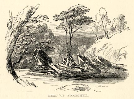 click to enlarge
PN0315.jpg
On p.30 of The Lakes in Sunshine, text by James Payn.
printed at bottom:- "HEAD OF STOCKGHYLL."
item:- Fell and Rock Climbing Club : 184.15
Image © see bottom of page
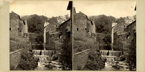 click to enlarge
HB0972.jpg
printed at rev of mount:- "Herbert Bell / Ambleside."
item:- Armitt Library : 2005.152
Image © see bottom of page
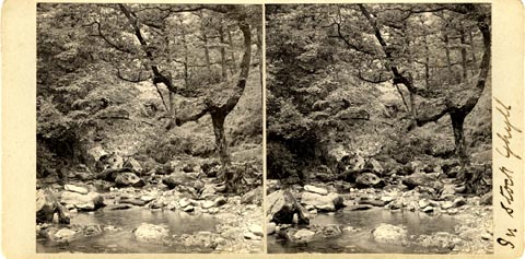 click to enlarge
HB0965.jpg
printed at rev of mount:- "Herbert Bell / Ambleside."
ms at mount:- "In Stock Ghyll"
item:- Armitt Library : 2005.145
Image © see bottom of page
item:- weir
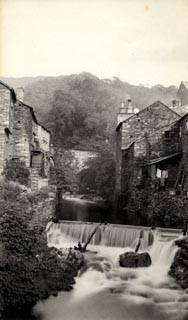 click to enlarge
HB0199.jpg
stamped at rev:- "HERBERT BELL / Photographer / AMBLESIDE"
item:- Armitt Library : ALPS17
Image © see bottom of page
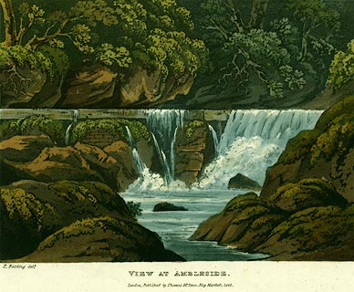 click to enlarge
PR0122.jpg
Plate 12 in the set of prints, Cumberland, Westmoreland, and Lancashire Illustrated.
printed at bottom, left, centre:- "T. Fielding delt. / VIEW AT AMBLESIDE. / London, Published by Thomas McLean, Hay Market, 1822."
item:- Dove Cottage : 2008.107.122
Image © see bottom of page
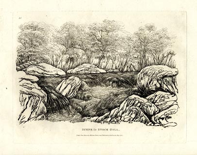
placename:- Stock Gill
 click to enlarge
GN0228.jpg
Plate 28 in Thirty Six Etchings from Nature.
printed at upper left:- "28"
printed at bottom:- "SCENE in STOCK GILL. / Etched from Nature by William Green, and Published at Ambleside, May 1, 1821."
item:- Armitt Library : A6638.28
Image © see bottom of page
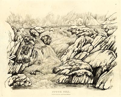
placename:- Stock Gill
 click to enlarge
GN0347.jpg
Plate 47 in Seventy Eight Studies from Nature.
printed in introductory pages to set of prints:- "Number 47. Stock Gill is a little river which runs through Ambleside. About half a mile up this river, from the Salutation Inn, is a fine water-fall called Stockgill Force; between the town and the force are many pretty, though inferior, falls of water, and the one given here is as a lesson in that sort of drawing."
printed at bottom:- "STOCK GILL. / Published Ambleside, Augst. 1st. 1809, by W. Green."
item:- Armitt Library : A6637.47
Image © see bottom of page
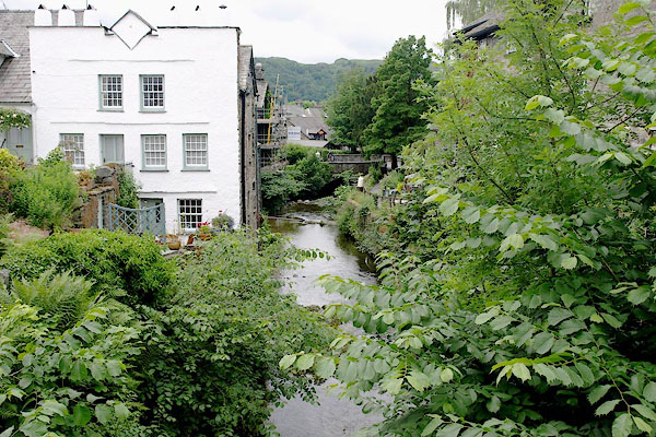
BQV91.jpg Below High Stockgill Bridge,
(taken 20.6.2009)
 |
NY37640458 Bark Mill (Lakes) |
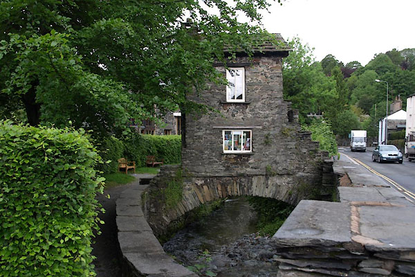 |
NY37600462 Bridge House (Lakes) L |
 |
NY37590468 Cooper's Flax Mill (Lakes) gone? |
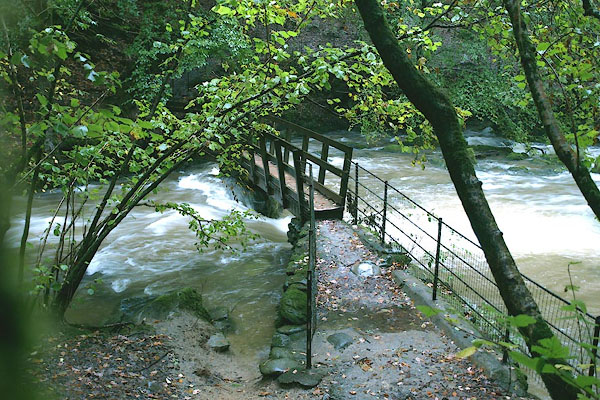 |
NY382045 footbridge, Ambleside (Lakes) |
 |
NY38050454 Gill Close Mill (Lakes) gone? |
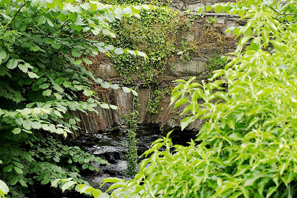 |
NY37670457 High Stockgill Bridge (Lakes) |
 |
NY38590478 Lawless Gill (Lakes) |
 |
NY38100457 Long Coats Mill (Lakes) |
 |
NY38190457 Mill Doors Fulling Mill (Lakes) gone |
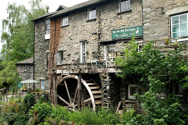 |
NY37660459 New Mill (Lakes) L |
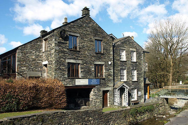 |
NY37590464 Glass House, The (Lakes) |
 |
NY39780764 Pets Bridge (Lakes) |
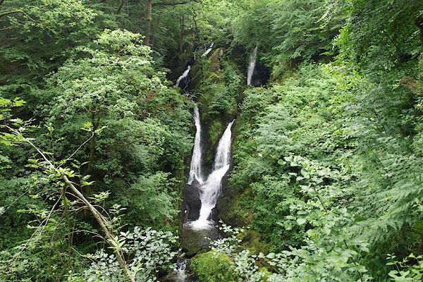 |
NY38400457 Stockghyll Force (Lakes) |
 |
NY38000453 Stockgill Mill (Lakes) |
 |
NY38000454 Waterfall Mill (Lakes) gone |
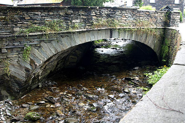 |
NY37590464 Low Stockgill Bridge (Lakes) |
