


 road, Kendal to Cockermouth
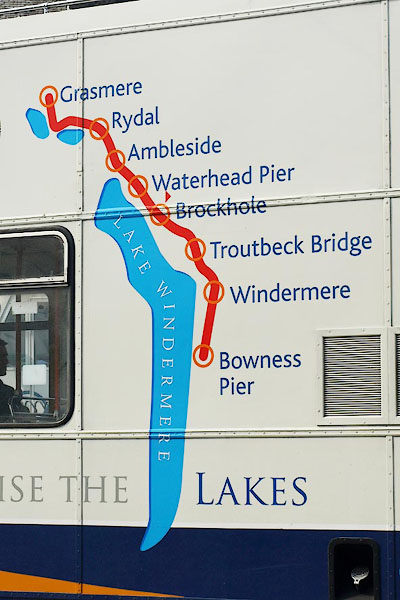
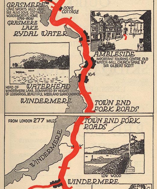
BPB72.jpg Map on the side of a bus, at Ambleside bus stance.
(taken 21.4.2008)
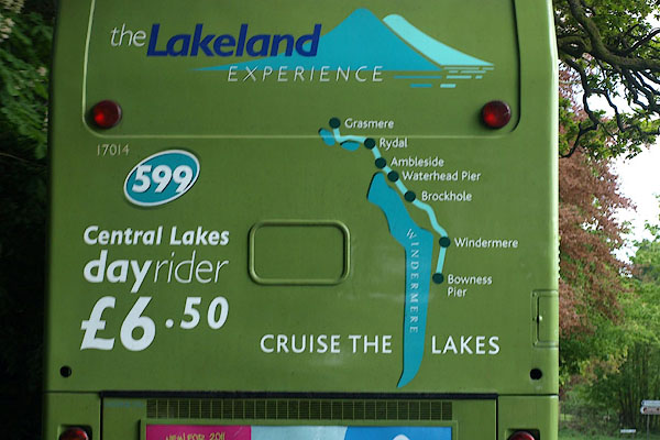
BUM76.jpg Map on the back of a bus, near Lowwood.
(taken 3.5.2011)
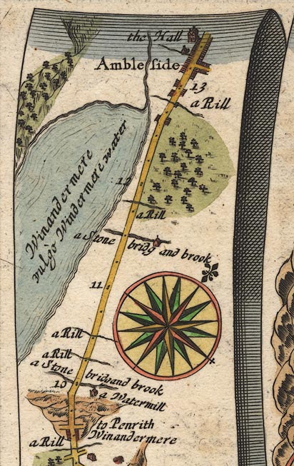
OG96WtoA.jpg
item:- JandMN : 22
Image © see bottom of page
"Thence [Bowness] I rode almost all the waye in sight of this great water [Windermere]; some tymes I lost it by reason of the great hills interposeing and so a continu'd up hill and down hill and that pretty steep even when I was in that they called bottoms, which are very rich good grounds,"
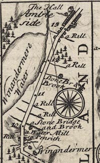
B260WtoA.jpg
The Road from Kendal to Cockermouth - from Kendal on past Keswick, Cumberland. Places labelled are:-
... 10 ... Winandermere Water on the left ... 13 / Ambleside, The Hall / 14 ...
item:- private collection : 1.260
Image © see bottom of page
Plate 259 has the title cartouche for:- "The Roads from KENDAL to COCKERMOUTH, &c. Containing 32 Comp. and 43'7 measd. Miles &c."
and a table of distances, computed and measured miles in miles'furlongs, which includes, from Kendal:- "..."
"Ambleside 10 / 13'3"
"..."
placename:-
 click to enlarge
BD12.jpg
""
double line
item:- Dove Cottage : 2007.38.62
Image © see bottom of page
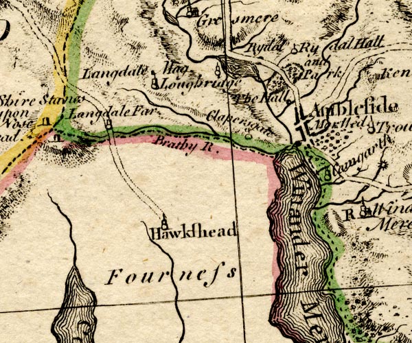
BO18SD29.jpg
double line, solid, road distance
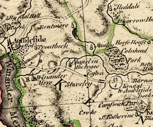
BO18SD39.jpg
double line, solid, road distance
item:- Armitt Library : 2008.14.10
Image © see bottom of page
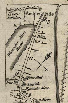
K084WtoA.jpg
item:- Hampshire Museums : FA1999.138.84
Image © see bottom of page
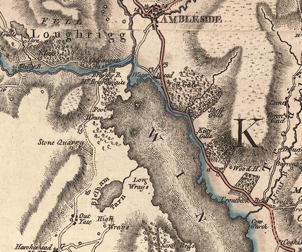
J5NY30SE.jpg
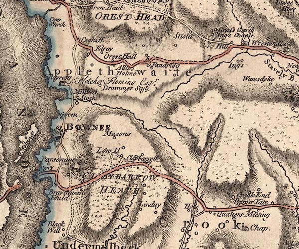
J5SD49NW.jpg
double line; road, bold, main road, with mile numbers
item:- National Library of Scotland : EME.s.47
Images © National Library of Scotland
 goto source
Page 73:- "From Bowness to Ambleside is six miles, along the side of the lake [2]. On the top of"
"[2] The Low-Wood Inn, ..."
 goto source
Page 74:- "an eminence, a little behind Rayrig, there is a fine view of the northern extremity of the lake. As you proceed along the banks, every step has importance, and the prospect becomes more and more august, exhibiting much variety of Appenine grandeur. Langdale-pikes, that guard the pass into Borrowdale on this side of the Yoak, and spiral Hill-bell; the overhanging crags of lofty Rainsbarrow; the broken ridge of Redscrees, Fairfield, and Scrubby-crag (on whose precipitous front the eagle builds his nest, secure from the envious shepherds of the vale) with a chaos of other nameless mountains, are all in sight."
 goto source
Addendum; Mr Gray's Journal, 1769
Page 212:- "..."
"[from Ambleside to Windermere]... The road in general fine turnpike, but some parts (about three miles in all) not made, yet without danger."
"For this determination I was unexpectedly well rewarded; for the afternoon was fine, and the road for the space of full five miles, ran along the side of Windermere, with delicious views across it, and almost from one end to the other. ..."
 goto source
Page 213:- "... The way rises continually, till a place called Orrest-head where it turns south-east, losing sight of the water. ..."
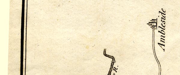
CT9NY30S.jpg
double line
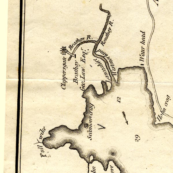
CT9NY30R.jpg
double line
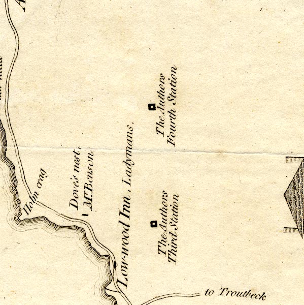
CT9NY30W.jpg
double line
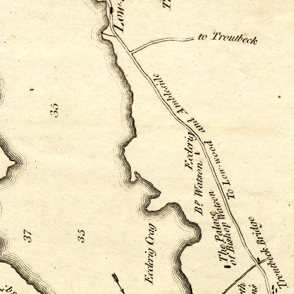
CT9NY30V.jpg
"To Low-wood and Ambleside"
double line, and turning "to Troutbeck"
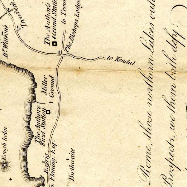
CT9SD49E.jpg
double line, turnings labelled "to Troutbeck"
"to Kendal"
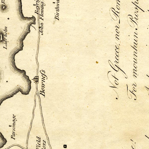
CT9SD49D.jpg
double line, turning lakeside south of Bowness
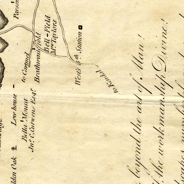
CT9SD49C.jpg
"to Kendal"
double line, and other roads to Ferry Nab, and to the lakeside road, which is labelled "to Cartmel"
item:- Armitt Library : 2008.14.102
Image © see bottom of page
 click to enlarge
MM0601.jpg
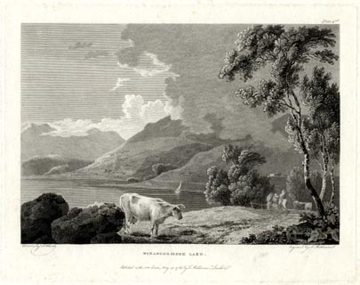
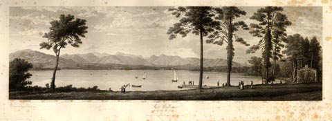
"Drawn by F. Wheatly. / Engrav'd by S. Middiman. / WINANDERMERE LAKE. / Publish'd as the Act directs, May 25. 1786, by S. Middiman, London."
"Plate 2nd."
item:- Armitt Library : A6863.1
Image © see bottom of page
 click to enlarge
MM0602.jpg
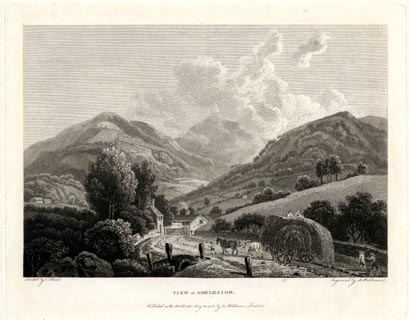
"Drawn by C. Powel. / Engrav'd by S. Middiman. / VIEW at AMBLESIDE. / Publish'd as the Act directs, May 25. 1786, by S. Middiman, London."
Accompanying text:- "PLATE XXII."
"VIEW at AMBLESIDE,"
"WESTMORELAND."
"THE annexed View is taken on the Road from Winandermere, within a few Yards of Ambleside Turnpike, and not far distant from that represented on the preceding Plate."
"From Ambleside to Keswick is about Sixteen Miles of excellent road; the Hills through which it leads are not difficult of Ascent, being mostly fine Sheep Walks, and well turfed. A Variety of Mountain Prospects present themselves in this Tour; and the Waterfalls that appear successively, either trickling down the gray Rocks, or pouring from the Mountains in foaming Torrents, are not to be equalled in so small a Tract of Country."
item:- Armitt Library : A6863.2
Image © see bottom of page
 click to enlarge
BNF32.jpg
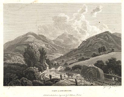
There is accompanying text in English and French:- "PLATE XXII. / VIEW at AMBLESIDE, WESTMORELAND. / THE annexed View is taken on the road from Winandermere, within a few Yards of Ambleside Turnpike, and not far distant from that represented in the preceding Plate. / From Ambleside to Keswick, is about Sixteen Miles of excellent Road; the Hills through which it leads are not difficult of Ascent, being mostly fine Sheep Walks, and well turfed. A variety of Mountain Prospects present themselves in this Tour; and the Waterfalls that appear successively, either trickling down the gray Rocks, or pouring from the Mountains in foaming Torrents, are not to be equalled in so small a Tract of Country."
item:- Dove Cottage : 2007.38.125
Image © see bottom of page
 goto source
vol.1 p.134 "..."
"... From Ambleside we set out for Bowness, to take a view of the lake. Part of the road we had traversed, the day before, from Kendal; and were a second time amused by the woody landscape it afforded: and it's sudden, interrupted openings to the lake, before the whole burst of that magnificent scene was presented. ..."
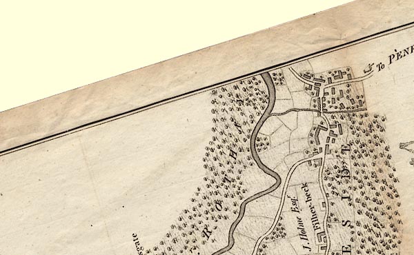
CLANY30S.jpg
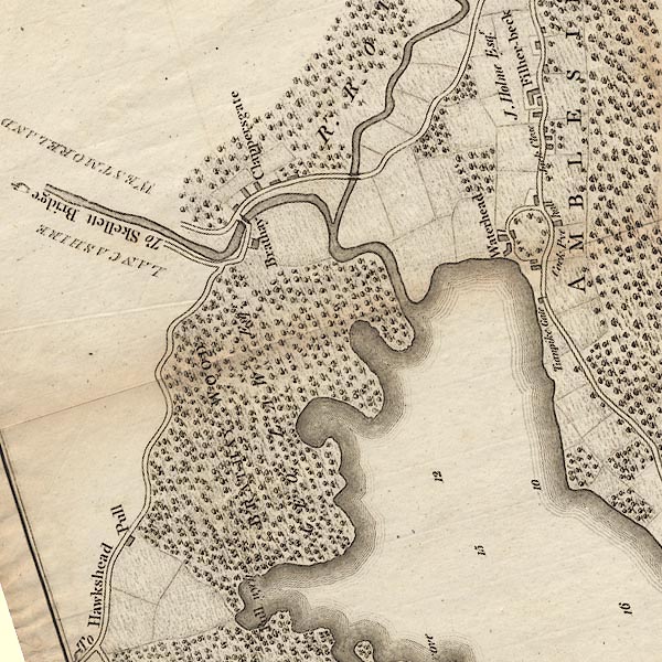
CLANY30R.jpg
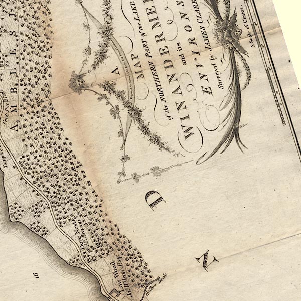
CLANY30W.jpg
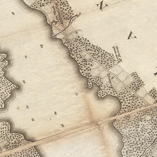
CLANY30V.jpg
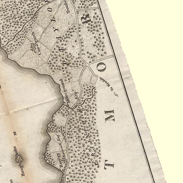
CLASD49E.jpg
"To Kendale"
item:- private collection : 10.10
Image © see bottom of page
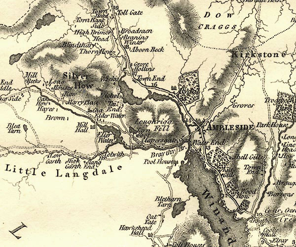
CY24NY30.jpg
double line, bold light, numbered miles; main road
item:- JandMN : 129
Image © see bottom of page
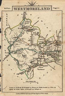 click to enlarge
CY16.jpg
no Windermere shown double line, with road distances from Kendal
item:- JandMN : 44
Image © see bottom of page
 goto source
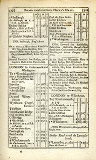 click to enlarge
C38317.jpg
page 317-318 "LONDON to Cockermouth and Workington"
part of
item:- JandMN : 228.1
Image © see bottom of page
 click to enlarge
GRA1Wd.jpg
though no Windermere, double line, light dark solid; road
item:- Hampshire Museums : FA2000.62.4
Image © see bottom of page
 click to enlarge
Lw18.jpg
bold line; 'Principal Travelling Roads'
item:- private collection : 18.18
Image © see bottom of page
 click to enlarge
WAL5.jpg
double line, light bold; 'Turnpike Road'
item:- JandMN : 63
Image © see bottom of page
 click to enlarge
HA18.jpg
single line, solid; minor road; Applethwaite, Ambleside
item:- Armitt Library : 2008.14.58
Image © see bottom of page
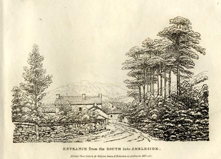 click to enlarge
GN0801.jpg
Plate 1 in Forty Etchings from Nature.
printed at bottom:- "ENTRANCE from the SOUTH into AMBLESIDE. / Etched from Nature by William Green, &Published at Ambleside, Feby. 1, 1822."
item:- Armitt Library : A6644.1
Image © see bottom of page
 goto source
Page 5:- "... All the way, ... to the head of the lake, the views are excellent; and every rising ground affords something new in the combination. ..."
 click to enlarge
WTL307.jpg
item:- Armitt Library : A6658.7
Image © see bottom of page
 goto source
Page 160:- "..."
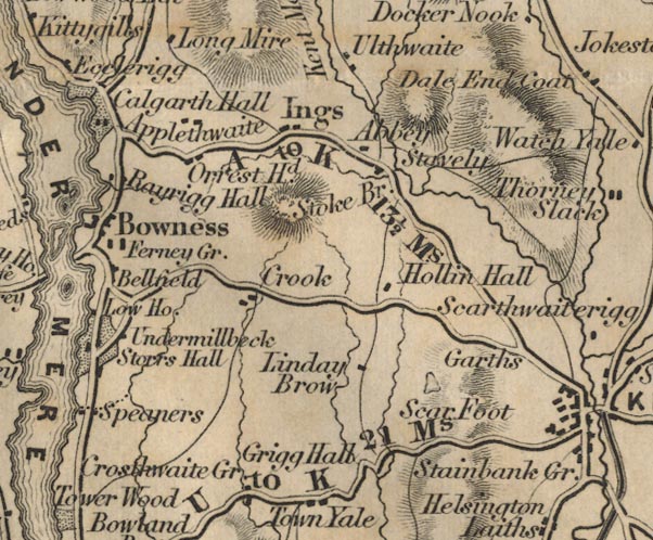
"VII. KENDAL TO AMBLESIDE.- 13½M."
| Miles. | KENDAL TO | Miles. |
| 5 | Staveley | 5 |
| 1½ | Ings Chapel | 6½ |
| 2 | Orest Head | 8½ |
| 1½ | Troutbeck Bridge | 10 |
| 2 | Low Wood Inn | 12 |
| 1½ | Ambleside | 13½ |
FD02SD49.jpg
"A to K 13½Ms."
FD02NY30.jpg
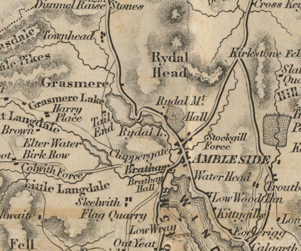
Distance Kendal to Ambleside; the old road ignores Windermere, which didn't much exist.
item:- JandMN : 100.1
Image © see bottom of page
 click to enlarge
AS0141.jpg
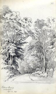
"Between Bowness / & Low Wood. / Septr. 13. 1849."
item:- Armitt Library : 1958.487.41
Image © see bottom of page
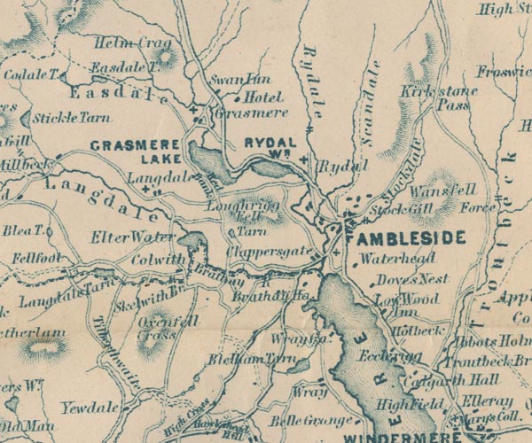
GAR2NY30.jpg
double line, bold light, major road
item:- JandMN : 82.1
Image © see bottom of page
 click to enlarge
PI03M1.jpg
double line; road
item:- private collection : 133.1
Image © see bottom of page
 click to enlarge
IG5185.jpg
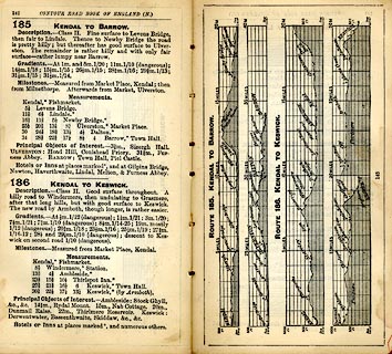
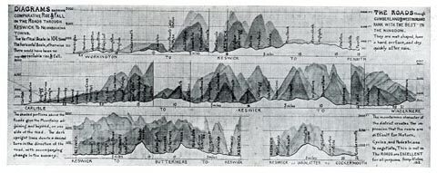
Itinerary, with gradient diagram, route 185, Kendal to Barrow, and route 187, Kendal to Keswick, Westmorland and Lancashire, 1898.
item:- JandMN : 763.18
Image © see bottom of page
 click to enlarge
IG5183.jpg
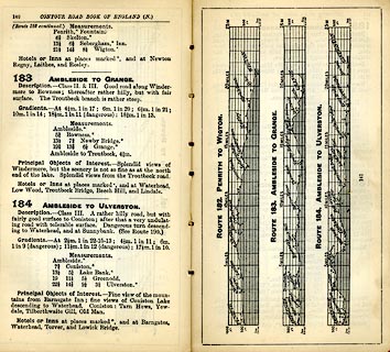
Itinerary, with gradient diagram, route 183, Ambleside to Grange, and route184, Ambleside to Ulverston, Westmorland and Lancashire, 1898.
item:- JandMN : 763.17
Image © see bottom of page
 goto source
Gentleman's Magazine 1900 part 2 p.356 "NIGHTS IN LAKELAND."
"... If you are not likely to be nervous, and are not afraid of loneliness, cross the width of the district, say by the coach road from Windermere to Keswick, under cover of night, and you will fully understand the beauty of darkness. It was at one o'clock on a semi-dark June morning when I walked through Windermere village on this trip. Once clear of the houses, the rustle of the rabbits as they plunged deeper into the woods, the endless craik-craik-craik of the landrail, the occasional deep whistle of an otter from the beck or the lake, were the only sounds to break the silence. The lake was without a ripple as I passed along its shores at Lowwood, the night-glow reflected on its steel-like bosom; a charfisher sat in a motionless boat towards the middle of the lake, a disturbed white-throat scolded from the reed beds. I felt inclined to go no further - to sit down on the low wall here and wait for daybreak. Surely it would be a noble sight to watch the early sunbeams stream over Kentmere fells and light up this beautiful lake. Not a soul was astir as I passed through the market-place at Ambleside, but a man walked stealthily from a side street a little further on, and set off towards Rydal. ..."
 click to enlarge
CTC257.jpg
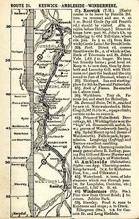
Strip road map, route 21, Keswick Ambleside Windermere, and Kendal, part of Silloth to Kendal, scale roughly 5 miles to 1 inch.
Together with an itinerary and gradient diagram.
item:- JandMN : 491.57
Image © see bottom of page
 click to enlarge
WT4Gd.jpg
item:- Keswick Museum : 2145.5
Image © see bottom of page
EJB3WtoA.jpg
item:- private collection : 17
Image © see bottom of page
placename:-
"[from Windermere] ... The road runs close beside the lake to its northern end at Ambleside, with Langdale Pikes, showing up as the outstanding element in the glorious mountain country ahead. Across the lake to the left rise such famous peaks as Coniston Old Man (2,633 feet); farther away and more to the north the loftier forms of Scafell Pike (3,210 feet) and Scafell (3,162 feet). But closer at hand, right upon our course, is the beauty spot of Low Wood, on the shore of the lake, where steamers embark passengers for trips down the long narrow lake. ..."
 Act of Parliament
 click to enlarge
RUM103.jpg
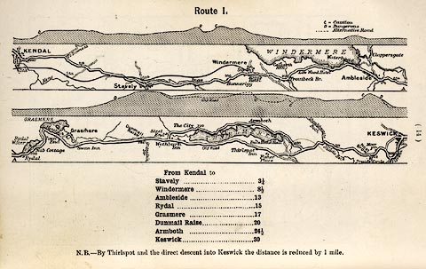
On p.14 of the Cyclist's Guide to the English Lake District, by A W Rumney.
printed at top:- "Route I."
item:- JandMN : 147.4
Image © see bottom of page
 click to enlarge
RUM104.jpg
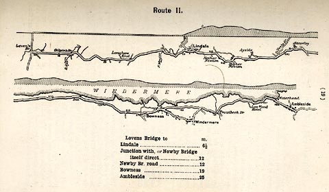
On p.19 of the Cyclist's Guide to the English Lake District, by A W Rumney.
printed at top:- "Route II."
item:- JandMN : 147.5
Image © see bottom of page
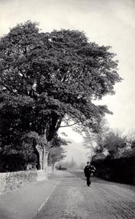 click to enlarge
HB0255.jpg
item:- Armitt Library : ALPS29
Image © see bottom of page
 Windermere
 Troutbeck Bridge, Windermere
 Low Wood Hotel, Lakes
 Ambleside
 |
NY40030040 milestone, Lakes (Lakes) gone |
 |
SD40789921 milestone, Windermere (2) (Windermere) |
 |
SD42009875 milestone, Windermere (3) (Windermere) |
 |
NY37700312 toll gate, Waterhead (Lakes) gone |
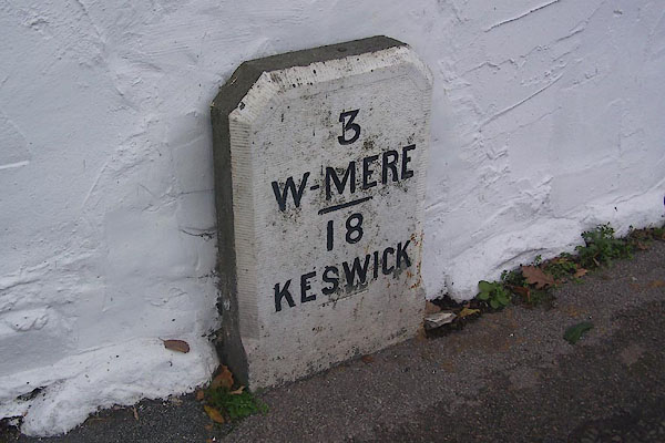 |
NY38540208 milestone, Lakes (2) (Lakes) |
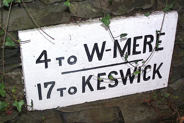 |
NY37720328 milestone, Ambleside, Lakes (2) (Lakes) |
