


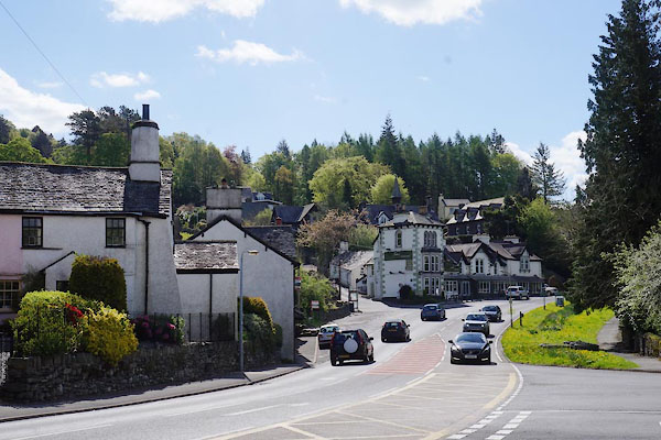
CAM72.jpg (taken 2.5.2014)
placename:- Troutbeck Bridge
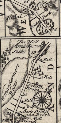
B260m10.jpg
"a Stone Bridge and Brook"
At 10 miles.
item:- private collection : 1.260
Image © see bottom of page
placename:- Troutbeck
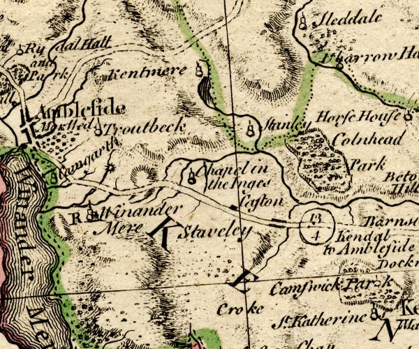
BO18SD39.jpg
"Troutbeck"
circle, tower
item:- Armitt Library : 2008.14.10
Image © see bottom of page
placename:- Troutbeck Bridge
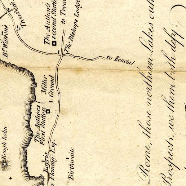
CT9SD49E.jpg
"Troutbeck Bridge"
blocks, buildings
item:- Armitt Library : 2008.14.102
Image © see bottom of page
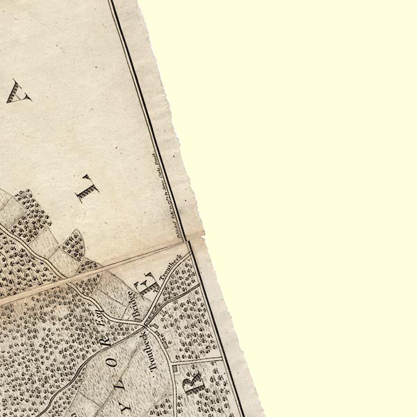
CLANY40A.jpg
item:- private collection : 10.10
Image © see bottom of page
placename:- Trout Beck Bridge
 click to enlarge
Lw18.jpg
"Trout Beck Bridge 274½"
village or other place; distance from London
item:- private collection : 18.18
Image © see bottom of page
placename:- Trout Beck Bridge
 click to enlarge
WAL5.jpg
"Trout Beck Br."
village, hamlet, house, ...
item:- JandMN : 63
Image © see bottom of page
placename:- Troutbeck Bridge
 click to enlarge
PI03M1.jpg
"Troutbeck Bridge"
block/s; building/s
item:- private collection : 133.1
Image © see bottom of page
placename:- Trout Beck Bridge
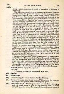 click to enlarge
TLY186.jpg
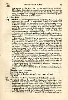 click to enlarge
TLY187.jpg
item:- private collection : 270.2
Image © see bottom of page
 |
NY40120020 Beckisland Wood (Windermere) |
 |
NY4000 Bell Beck (Windermere) |
 |
NY40620057 Blackmire Spring (Windermere) |
 |
NY40800039 Brow Wood (Windermere) |
 |
NY40860016 Browhead Spring (Windermere) |
 |
NY40800022 Browhead (Windermere) |
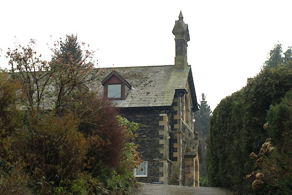 |
NY40480007 Chapel Court (Windermere) |
 |
NY40210073 Crowmire (Lakes) |
 |
SD40589988 Horseclose Wood (Windermere) |
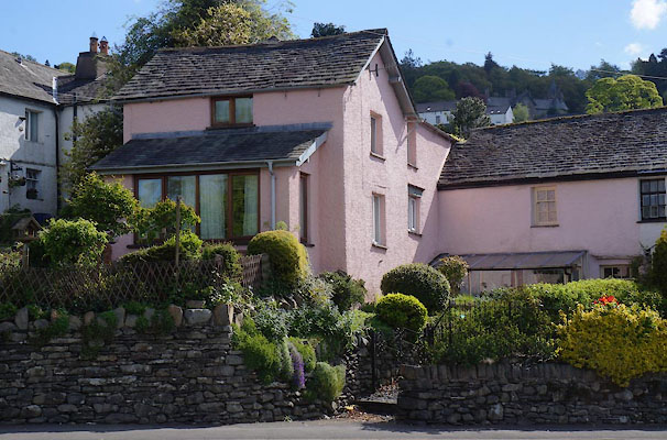 |
NY40400022 house, Troutbeck Bridge (Windermere) L |
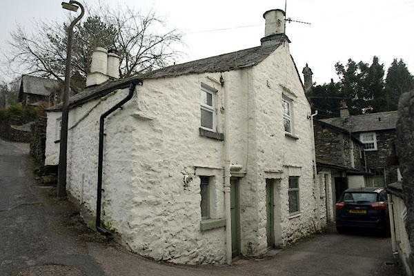 |
NY40470012 house, Troutbeck Bridge (2) (Windermere) |
 |
NY40260057 Ibbotsholme (Lakes) |
 |
NY40660022 Knotts (Windermere) L |
 |
NY40030040 milestone, Lakes (Lakes) gone |
 |
NY40350047 mill, Troutbeck Bridge (Windermere) |
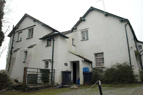 |
NY40420024 Old House, The (Windermere) L |
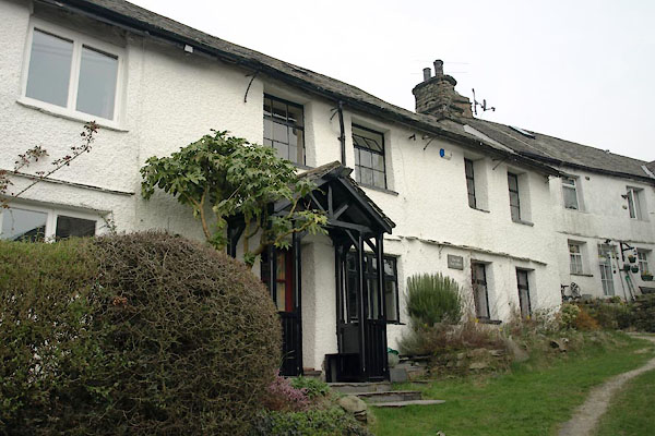 |
NY40390023 Old Post Office (Windermere) L |
 |
SD401994 post box, Troutbeck Bridge (Windermere) |
 |
NY40840024 St Catharine's Brow (Windermere) |
 |
SD40909965 St Catharine's (Windermere) |
 |
NY40720020 St Catherine's Chapel (Windermere) |
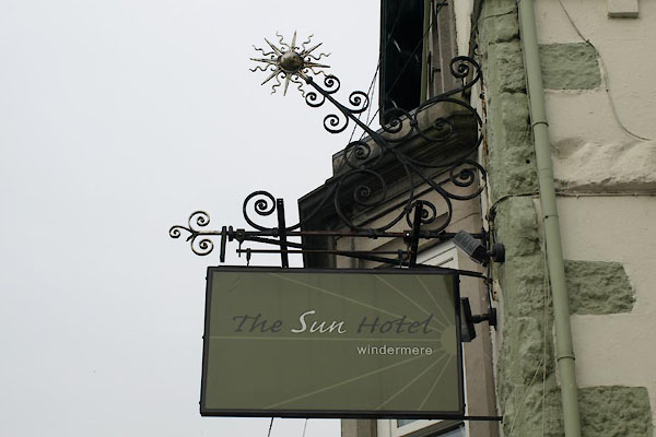 |
NY40450013 Sun Hotel (Windermere) |
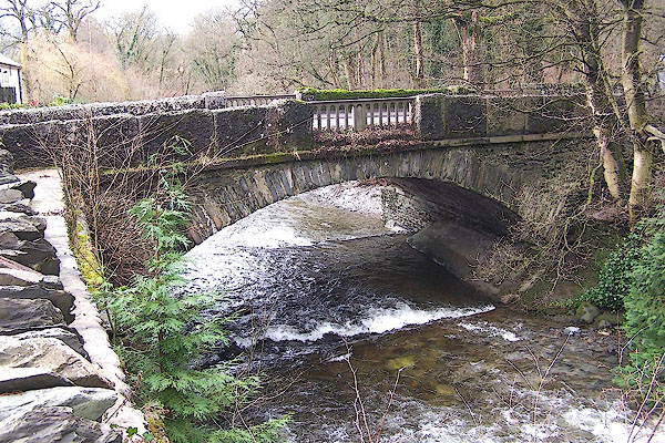 |
NY40300034 Troutbeck Bridge (Windermere) |
 |
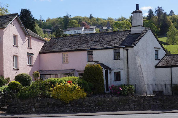
NY40410020 Calgarth View (Windermere) |
 |
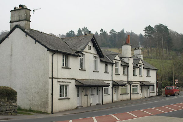
NY40410021 Troutbeck Bridge: Calgarth View, 1 and 2 (Windermere) L |
 |
NY40420019 Troutbeck Bridge: Calgarth View, 3 to 7 (Windermere) |
 |
NY40250036 weighing machine, Troutbeck Bridge (Lakes) gone |
