 |
 |
|
|
|
|
|
| civil parish:- |
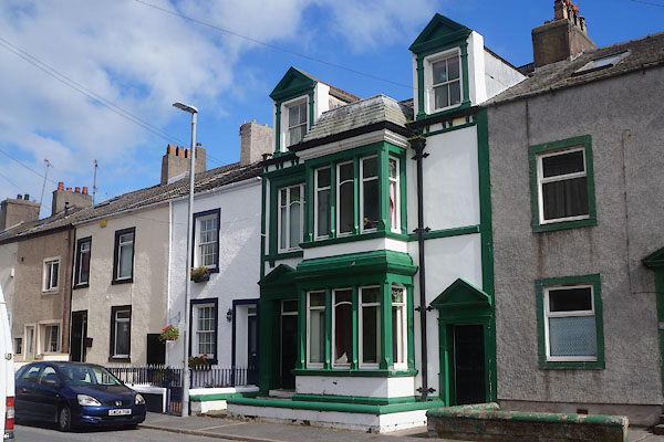
Workington (formerly Cumberland) |
| county:- |
Cumbria |
| locality type:- |
locality |
| locality type:- |
buildings |
| coordinates:- |
NX98962505 (etc) |
| 1Km square:- |
NX9825 |
| 10Km square:- |
NX92 |
|
|
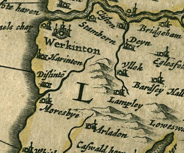
| evidence:- |
old map:- OS County Series (Cmd 61 3)
placename:- Harrington
|
| source data:- |
Maps, County Series maps of Great Britain, scales 6 and 25
inches to 1 mile, published by the Ordnance Survey, Southampton,
Hampshire, from about 1863 to 1948.
|
|
|
| evidence:- |
old map:- Saxton 1579
placename:- Harinton
|
| source data:- |
Map, hand coloured engraving, Westmorlandiae et Cumberlandiae Comitatus ie Westmorland
and Cumberland, scale about 5 miles to 1 inch, by Christopher Saxton, London, engraved
by Augustinus Ryther, 1576, published 1579-1645.
Sax9NX92.jpg
Church, symbol for a parish or village, with a parish church. "Harinton"
item:- private collection : 2
Image © see bottom of page
|
|
|
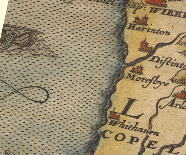
| evidence:- |
old map:- Mercator 1595 (edn?)
placename:- Harinton
|
| source data:- |
Map, hand coloured engraving, Northumbria, Cumberlandia, et
Dunelmensis Episcopatus, ie Northumberland, Cumberland and
Durham etc, scale about 6.5 miles to 1 inch, by Gerard Mercator,
Duisberg, Germany, about 1595.
MER8CumB.jpg
"Harinton"
circle
item:- JandMN : 169
Image © see bottom of page
|
|
|
| evidence:- |
old map:- Keer 1605
placename:- Harinton
|
| source data:- |
Map, hand coloured engraving, Westmorland and Cumberland, scale
about 16 miles to 1 inch, probably by Pieter van den Keere, or
Peter Keer, about 1605 edition perhaps 1676.
 click to enlarge click to enlarge
KER8.jpg
"Harinton"
dot, circle and tower; village
item:- Dove Cottage : 2007.38.110
Image © see bottom of page
|
|
|
| evidence:- |
old map:- Jenner 1643
placename:- Harinton
|
| source data:- |
Tables of distances with a maps, Westmerland, scale about 16
miles to 1 inch, and Cumberland, scale about 21 miles to 1 inch,
published by Thomas Jenner, London, 1643; published 1643-80.

JEN4Sq.jpg
"Harinton"
circle
|
|
|
| evidence:- |
old map:- Jansson 1646
placename:- Harinton
|
| source data:- |
Map, hand coloured engraving, Cumbria and Westmoria, ie
Cumberland and Westmorland, scale about 3.5 miles to 1 inch, by
John Jansson, Amsterdam, Netherlands, 1646.
JAN3NY02.jpg
"Harinton"
Buildings and tower.
item:- JandMN : 88
Image © see bottom of page
|
|
|
| evidence:- |
old map:- Morden 1695 (Cmd)
placename:- Harrington
|
| source data:- |
Map, uncoloured engraving, Cumberland, scale about 4 miles to 1
inch, by Robert Morden, 1695, published by Abel Swale, the
Unicorn, St Paul's Churchyard, Awnsham, and John Churchill, the
Black Swan, Paternoster Row, London, 1695-1715.
MD12NY02.jpg
"Harrington"
Circle, building and tower.
item:- JandMN : 90
Image © see bottom of page
|
|
|
| evidence:- |
old map:- Bowen and Kitchin 1760
placename:- Harrington
|
| source data:- |
Map, hand coloured engraving, A New Map of the Counties of
Cumberland and Westmoreland Divided into their Respective Wards,
scale about 4 miles to 1 inch, by Emanuel Bowen and Thomas
Kitchin et al, published by T Bowles, Robert Sayer, and John
Bowles, London, 1760.

BO18NX92.jpg
"Harrington"
circle, tower
item:- Armitt Library : 2008.14.10
Image © see bottom of page
|
|
|
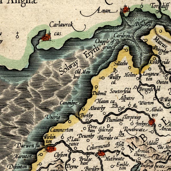
| evidence:- |
old map:- Donald 1774 (Cmd)
placename:- Harrington
|
| source data:- |
Map, hand coloured engraving, 3x2 sheets, The County of Cumberland, scale about 1
inch to 1 mile, by Thomas Donald, engraved and published by Joseph Hodskinson, 29
Arundel Street, Strand, London, 1774.
D4NX92NE.jpg
"Harrington"
blocks, and usually a church, labelled in upright lowercase; a village
item:- Carlisle Library : Map 2
Image © Carlisle Library |
|
|
| evidence:- |
old map:- Cooper 1808
placename:- Harrington
|
| source data:- |
Map, uncoloured engraving, Cumberland, scale about 10.5 miles to
1 inch, drawn and engraved by Cooper, published by R Phillips,
Bridge Street, Blackfriars, London, 1808.
 click to enlarge click to enlarge
COP3.jpg
"Harrington"
circle; village or hamlet
item:- JandMN : 86
Image © see bottom of page
|
|
|
| evidence:- |
old map:- Otley 1818
placename:- Harrington
|
| source data:- |
Map, uncoloured engraving, The District of the Lakes,
Cumberland, Westmorland, and Lancashire, scale about 4 miles to
1 inch, by Jonathan Otley, 1818, engraved by J and G Menzies,
Edinburgh, Scotland, published by Jonathan Otley, Keswick,
Cumberland, et al, 1833.
OT02NX92.jpg
item:- JandMN : 48.1
Image © see bottom of page
|
|
|
| evidence:- |
old map:- Hall 1820 (Cmd)
placename:- Harrington
|
| source data:- |
Map, hand coloured engraving, Cumberland, scale about 21 miles
to 1 inch, engraved by Sidney Hall, published by S Leigh, 18
Strand, London, 1820-31.
 click to enlarge click to enlarge
HA14.jpg
"Harrington"
circle, italic lowercase text; settlement
item:- JandMN : 91
Image © see bottom of page
|
|
|
| evidence:- |
old map:- Ford 1839 map
placename:- Harrington
|
| source data:- |
Map, uncoloured engraving, Map of the Lake District of
Cumberland, Westmoreland and Lancashire, scale about 3.5 miles
to 1 inch, published by Charles Thurnam, Carlisle, and by R
Groombridge, 5 Paternoster Row, London, 3rd edn 1843.
FD02NX92.jpg
"Harrington"
item:- JandMN : 100.1
Image © see bottom of page
|
|
|
| evidence:- |
old map:- Garnett 1850s-60s H
placename:- Harrington
|
| source data:- |
Map of the English Lakes, in Cumberland, Westmorland and
Lancashire, scale about 3.5 miles to 1 inch, published by John
Garnett, Windermere, Westmorland, 1850s-60s.
GAR2NX92.jpg
"Harrington"
blocks, settlement
item:- JandMN : 82.1
Image © see bottom of page
|
|
|
|
 Post Office maps Post Office maps |
|
|
| places:- |
 |
NX99762546 Beckside (Workington) |
|
|
|
NX99232563 Beckstone Bridge (Workington) |
|
|
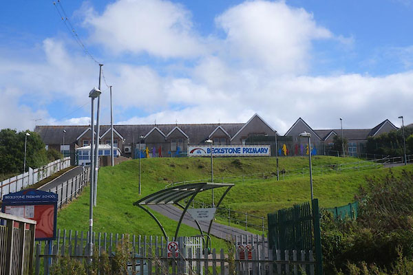 |
NX99262583 Beckstone Primary School (Workington) |
|
|
|
NX98792508 Bellaport Marina (Workington) |
|
|
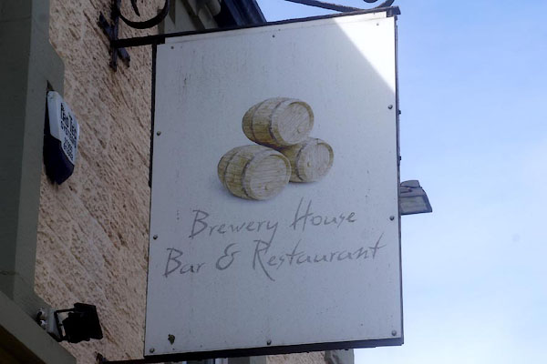 |
NX99612549 Brewery House (Workington) |
|
|
 |
NX99652538 Brooklands (Workington) L |
|
|
 |
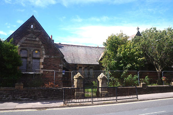
NX99112542 chapel, Harrington (Workington) |
|
|
|
NX99142539 chapel, Harrington (2) (Workington) |
|
|
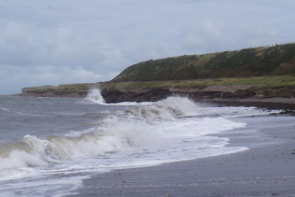 |
NX9825 coast, Harrington (Workington) |
|
|
|
NX98852450 Copperas Hill Halt (Workington) |
|
|
|
NX9824 Copperas Hill Station (Workington) |
|
|
 |
NX98772443 Copperas Hill (Workington) |
|
|
 |
NX99712486 Cross House (Workington) L |
|
|
|
NY00342569 East Croft (Workington) |
|
|
|
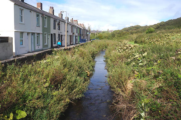
NX9926 Eller Beck (Workington) |
|
|
|
NX99222564 Ellerbank House (Workington) |
|
|
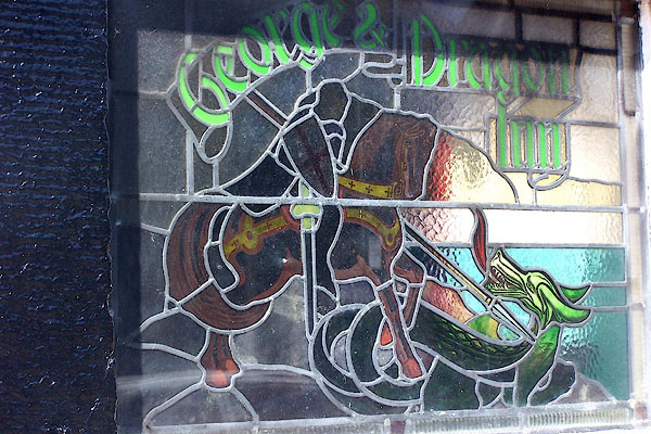 |
NX99182557 George and Dragon (Workington) |
|
|
|
NX99532510 Grayson Green Farm (Workington) |
|
|
|
NX99592504 Grayson Green (Workington) |
|
|
|
NY00302539 Greystone Cottage (Workington) |
|
|
|
NX99852538 Hallgreen (Workington) |
|
|
|
NX99522558 Harrington Church Road Halt (Workington) gone |
|
|
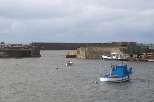 |
NX98762527 Harrington Harbour (Workington) |
|
|
|
NY00092640 Harrington Junction (Workington) |
|
|
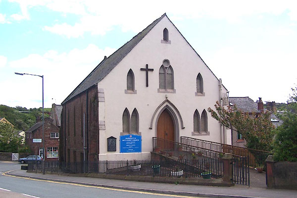 |
NX99192562 Harrington Methodist Church (Workington) |
|
|
|
NX98922466 Harrington Parks cottages (Workington) |
|
|
|
NX98952459 Harrington Parks (Workington) |
|
|
|
Harrington Rocks (Workington) perhaps |
|
|
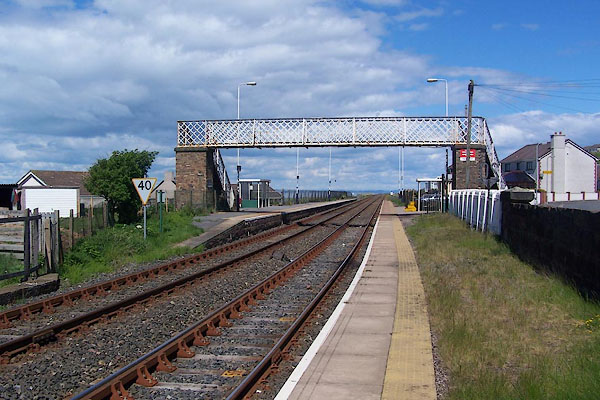 |
NX99002537 Harrington Station (Workington) |
|
|
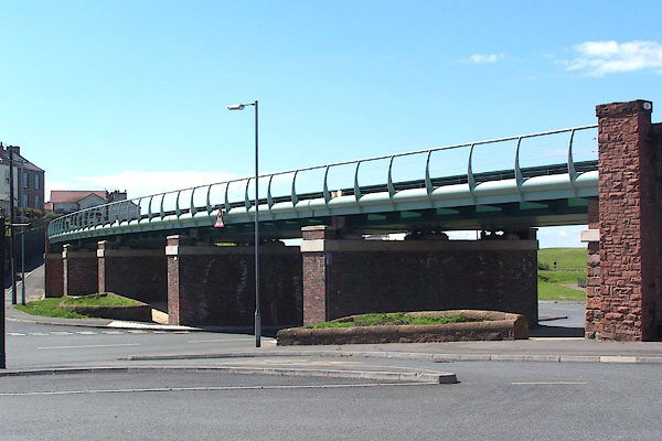 |
NX99042527 Harrington Viaduct (Workington) |
|
|
|
NX98842514 Christian Street (Workington) gone |
|
|
|
NX99142546 Church Road (Workington) |
|
|
 |
NX99082531 Harrington: Church Road, 11 (Workington) |
|
|
 |
NX99062536 Harrington: Church Road, 72 (Workington) |
|
|
|
NX98802509 Curwen Street (Workington) gone |
|
|
|
NX98832509 Henry Street (Workington) gone |
|
|
|
NX98762492 Mariners View (Workington) gone |
|
|
|
NX98862497 Nook Street (Workington) |
|
|
|
NX98922517 Quay Street (Workington) |
|
|
|
NX98922497 Rose Hill (Workington) |
|
|
|
NX98842504 Stanley Square (Workington) gone |
|
|
|
NX98792504 Stanley Street (Workington) gone |
|
|
|
NX98872513 William Street (Workington) gone? |
|
|
|
NX98792509 Williamson Street (Workington) gone |
|
|
|
NY01072594 Headstone Lane (Workington / Winscales) |
|
|
|
NX99972562 High Harrington Station (Workington) gone |
|
|
 |
NY00182544 High Harrington (Workington) |
|
|
|
NY00652587 High Scaw (Workington) |
|
|
|
NX99582555 Hollins (Workington) |
|
|
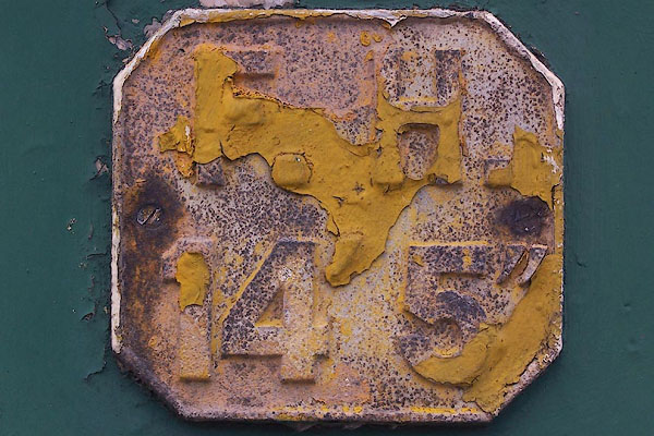 |
NX99212562 hydrant plate, Harrington (Workington) |
|
|
|
NX9925 iron mine, Harrington (Workington) |
|
|
|
NX98722478 Harrington Ironworks (Workington) gone |
|
|
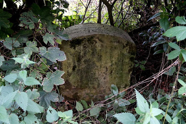 |
NY00972590 Joseph Thompson Headstone (Workington) L |
|
|
 |
NY00212543 Kiln Green (Workington) |
|
|
|
NY00222545 Kilngreen (Workington) |
|
|
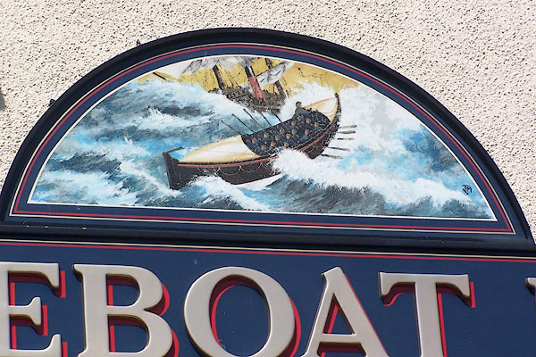 |
NX99022531 Lifeboat Inn (Workington) |
|
|
|
NX98652528 lighthouse, Harrington (Workington) gone |
|
|
|
NY00532592 Low Scaw (Workington) |
|
|
|
NX99982542 Midtown (Workington) |
|
|
|
NX99072522 mill, Harrington (Workington) gone |
|
|
|
NX98942541 North Side (Workington) |
|
|
 |
NX99162548 Old Brewery, The (Workington) |
|
|
 |
NX99102543 Old Sunday School, The (Workington) |
|
|
|
NX99782481 pinfold, Harrington (Workington) gone |
|
|
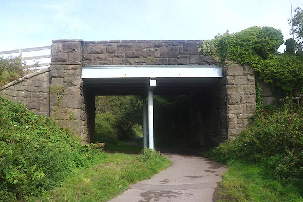 |
NX99952545 railway bridge, Harrington (Workington) |
|
|
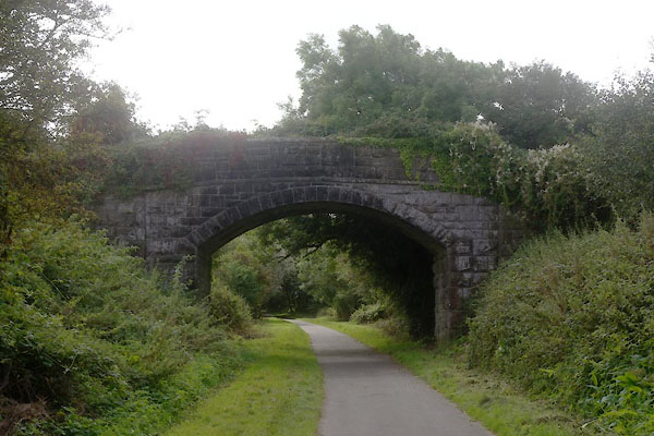 |
NX99952539 railway bridge, Harrington (2) (Workington) |
|
|
 |
NX99952545 railway bridge, Harrington (3) (Workington) |
|
|
|
NX99532558 railway bridge, Harrington (4) (Workington) gone |
|
|
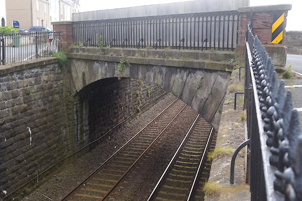 |
NX98932505 railway bridge, Harrington (5) (Workington) |
|
|
|
NX99052497 railway bridge, Harrington (6) (Workington) |
|
|
|
NX99102501 railway bridge, Harrington (7) (Workington) |
|
|
|
NY00112585 High Harrington Junction (Workington) |
|
|
|
NX98892568 (Workington) |
|
|
|
NX99042497 Rosehill Halt (Workington) |
|
|
|
NX98912474 Rosehill Junction (Workington) |
|
|
|
NX98562605 salt pans, Harrington (Workington) once |
|
|
|
NX99202553 school, Harrington (Workington) |
|
|
 |
NX99162554 school, Harrington (2) (Workington) L |
|
|
|
NX99812476 Ship Inn (Workington) |
|
|
 |
NX99062528 Springside (Workington) |
|
|
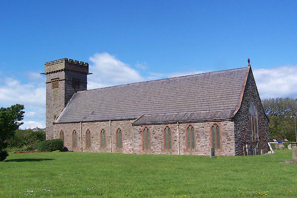 |
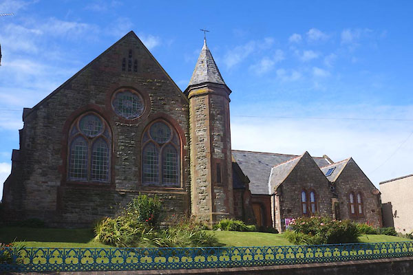
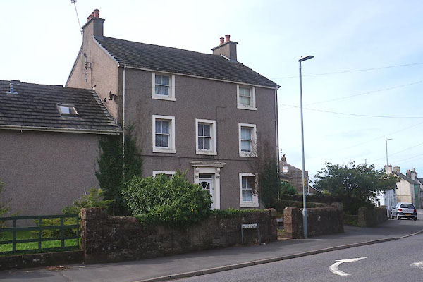
NX99422569 St Mary's Church (Workington) L |
|
|
|
NX99562526 Stockshill (Workington) |
|
|
|
NX98782487 tanyard, Harrington (Workington) gone |
|
|
|
NX99182559 Vale View (Workington) |
|
|
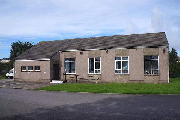 |
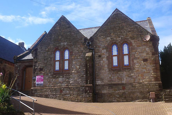
NX99442575 village hall, Harrington (Workington) |
|
|
|
NX98842594 Walker's Brow (Workington) |
|
|
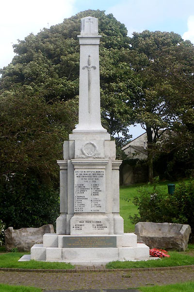 |
NX99462584 war memorial, Harrington (Workington) |
|
|
|
NX98662520 watchtower, Harrington (Workington) gone |
|
|
|
NY0025 Watery Lane (Workington) |
|
|
|
NX99892448 Westgill End (Workington) |
|
|
|
NX99802478 Westgill (Workington) |
|
|
|
NY00412516 Whins (Workington) |
|
|
 |
NX99392571 Willow Dene (Workington) L |
|
|
 |
NX9925 Wyre, River (Workington) |
|
|
 |
NX99082531 Wyrehurst (Workington) L |
|
|
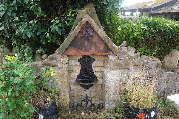 |
NX98912511 water fountain, Harrington (Workington) |
|
