 Old Cumbria Gazetteer
 |
 |
|
| Harrington Station, Harrington | ||
| Harrington Station | ||
| site name:- | Whitehaven Junction Railway | |
| locality:- | Harrington | |
| civil parish:- | Workington (formerly Cumberland) | |
| county:- | Cumbria | |
| locality type:- | railway station | |
| coordinates:- | NX99002537 | |
| 1Km square:- | NX9925 | |
| 10Km square:- | NX92 | |
| SummaryText:- | Opened 1851. | |
|
|
||
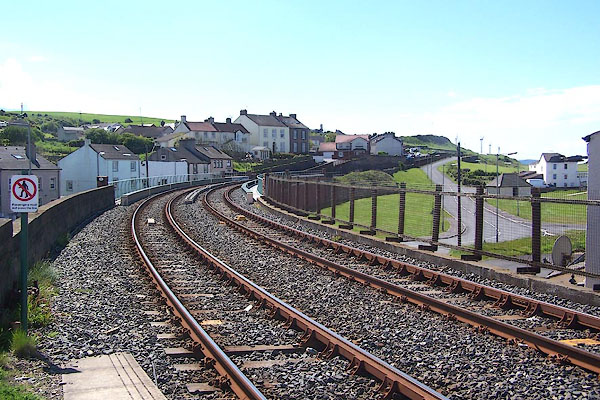
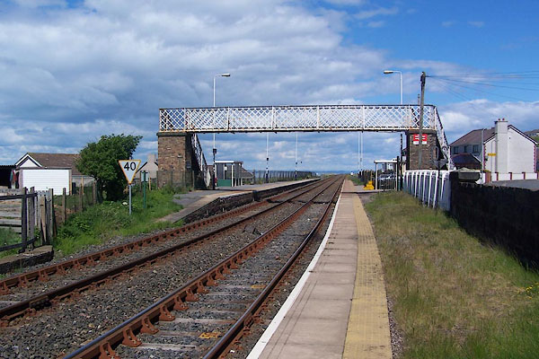 BNQ25.jpg (taken 14.5.2007) 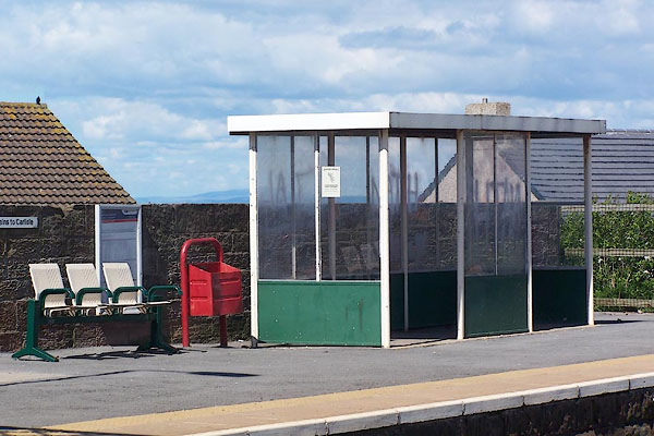 BNQ26.jpg (taken 14.5.2007) |
||
|
|
||
| evidence:- | old map:- OS County Series (Cmd 61 3) |
|
| source data:- | Maps, County Series maps of Great Britain, scales 6 and 25
inches to 1 mile, published by the Ordnance Survey, Southampton,
Hampshire, from about 1863 to 1948.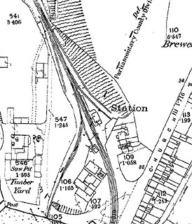 click to enlarge click to enlargeCSRY0064.jpg "Station" |
|
|
|
||
| evidence:- | old map:- Garnett 1850s-60s H |
|
| source data:- | Map of the English Lakes, in Cumberland, Westmorland and
Lancashire, scale about 3.5 miles to 1 inch, published by John
Garnett, Windermere, Westmorland, 1850s-60s.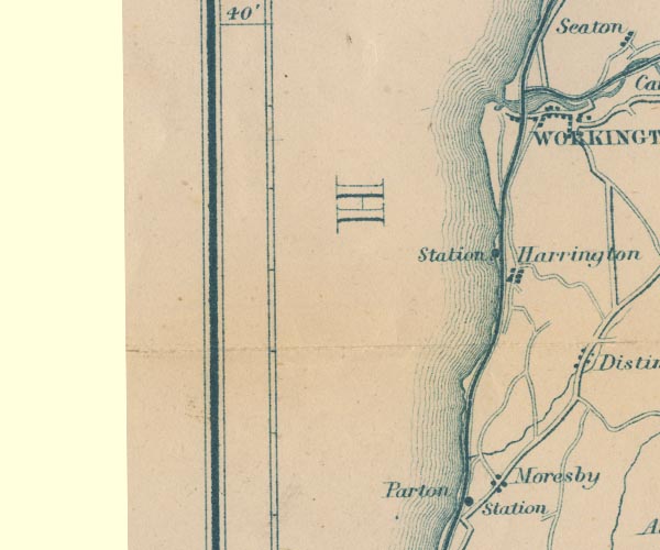 GAR2NX92.jpg "Station" dot by railway item:- JandMN : 82.1 Image © see bottom of page |
|
|
|
||
| evidence:- | old map:- Postlethwaite 1877 (3rd edn 1913) |
|
| source data:- | Map, uncoloured engraving, Map of the Lake District Mining Field, Westmorland, Cumberland,
Lancashire, scale about 5 miles to 1 inch, by John Postlethwaite, published by W H
Moss and Sons, 13 Lowther Street, Whitehaven, Cumberland, 1877 edn 1913.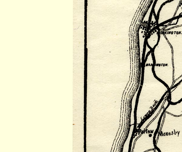 PST2NX92.jpg "HARRINGTON" station on railway item:- JandMN : 162.2 Image © see bottom of page |
|
|
|
||
 BNQ27.jpg View S. (taken 14.5.2007) 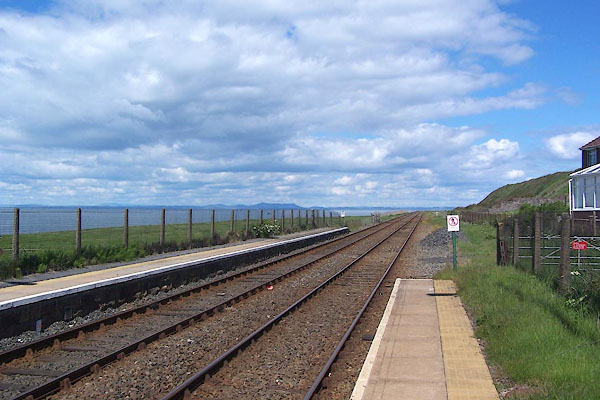 BNQ28.jpg View N. (taken 14.5.2007) |
||
|
|
||
 Lakes Guides menu.