 |
 |
|
|
|
|
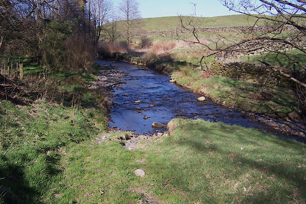
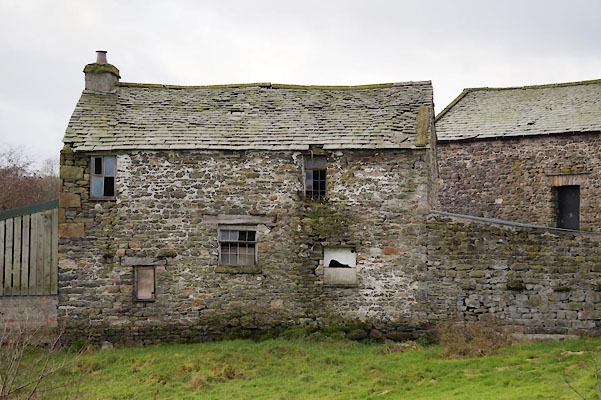
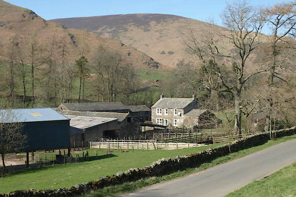
Beckside |
| locality:- |
Harrington |
| civil parish:- |
Workington (formerly Cumberland) |
| county:- |
Cumbria |
| locality type:- |
locality |
| locality type:- |
buildings |
| coordinates:- |
NX99762546 (etc) |
| 1Km square:- |
NX9925 |
| 10Km square:- |
NY92 |
|
|
| evidence:- |
old map:- OS County Series (Cmd 61 3)
placename:- Beckside
|
| source data:- |
Maps, County Series maps of Great Britain, scales 6 and 25
inches to 1 mile, published by the Ordnance Survey, Southampton,
Hampshire, from about 1863 to 1948.
|
|
|
| places:- |
 |
NY41150354 barn, Troutbeck (Lakes) |
|
|
 |
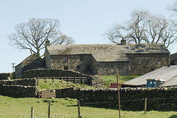
SD61728807 Beck Side Farm (Killington) L |
|
|
 |
NY35447106 Beckside Bridge (Kirkandrews) |
|
|
 |
SD61718803 Beckside Cottage (Killington) L |
|
|
 |
NY31004904 Boston Bridge (Westward) |
|
|
 |
SD15258468 bridge, Whicham (3) (Whicham) |
|
|
 |
SD61738804 Briery Garth (Killington) L |
|
|
 |
NY36652988 Copyhill (Mungrisdale) L |
|
|
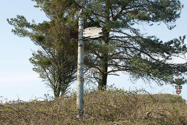 |
SD23658397 fingerpost, Kirkby Ireleth (Kirkby Ireleth) |
|
|
 |
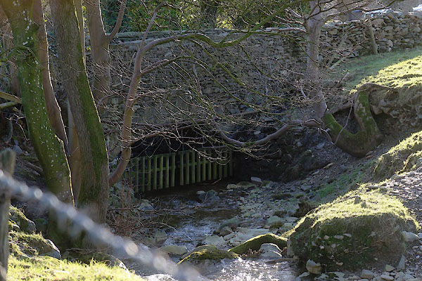
NY36522987 ford, Mungrisdale (2) (Mungrisdale) |
|
|
|
NY36582988 High Beckside (Mungrisdale) |
|
|
 |
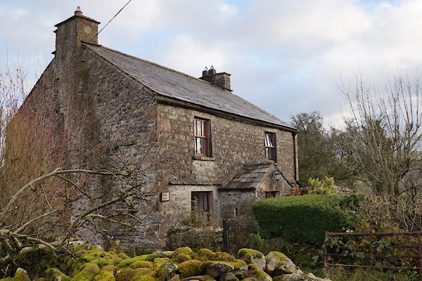
SD61758796 house, Beckside (Killington) |
|
|
 |
NY36562981 Low Beckside (Mungrisdale) |
|
|
|
SD55878817 mill, Beckside (Old Hutton and Holmescales) |
|
|
|
SD61688805 mill, Beckside (2) (Killington) gone? |
|
|
|
NY53835981 Moss House (Brampton) |
|
|
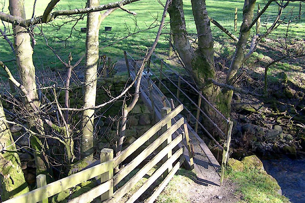 |
NY36522985 footbridge, Mungrisdale (3) (Mungrisdale) |
|
