 Old Cumbria Gazetteer
 |
 |
|
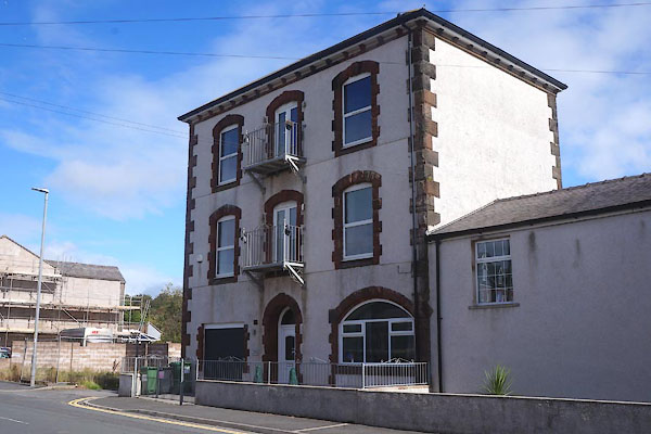
| Old Brewery, Harrington | ||
| Street:- | Church Road | |
| locality:- | Harrington | |
| civil parish:- | Workington (formerly Cumberland) | |
| county:- | Cumbria | |
| locality type:- | buildings | |
| locality type:- | brewery (? ex) | |
| coordinates:- | NX99162548 | |
| 1Km square:- | NX9925 | |
| 10Km square:- | NX92 | |
|
|
||
 CFL16.jpg (taken 2.9.2016) |
||
|
|
||
| evidence:- | old map:- OS County Series (Cmd 61 3) |
|
| source data:- | Maps, County Series maps of Great Britain, scales 6 and 25
inches to 1 mile, published by the Ordnance Survey, Southampton,
Hampshire, from about 1863 to 1948. "Brewery" |
|
|
|
||
 Lakes Guides menu.