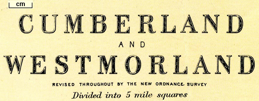
 Cumberland and Westmorland

|

|
|
|
map type:- Dispatch 1863 |
|
|
|
Map, 2 sheets, Cumberland and Westmorland, scale about
3.5 miles to 1 inch, 1862, drawn and engraved by Edward
Weller, Duke Street, Bloomsbury, London, about 1863;
published 1863-1907.
Pubished on 2 sheets in 'The Dispatch Atlas. London. Published at the 'Weekly Dispatch' Office, 139, Fleet Street, London, and sold by all Booksellers and Newsagents, 1863.' There is also a map of England and Wales on 4 sheets, scale about 13 miles to 1 inch, whose NW sheet includes Westmorland, Cumberland etc. The atlas is a collection of maps published with the newspaper 1856-62, world and county maps; its size is 13 5/8 x 18 7/8 ins. Published with others in one of 19 monthly parts of 'Cassell's British Atlas: consisting of counties of England, with large divisional maps of Scotland, Ireland, and Wales; copious maps of all the principal routes of railway throughout the country, with indications of every object of importance and interest to the Traveller along the lines; separate maps of Cities, Towns, and places of importance; the Great Map of London, on a scale of nine inches to the mile, with the suburbs and environs, and also a facsimile of Ralph Aggas's Map of Old London, as it was in the time of Queen Elizabeth. London: Cassell, Petter and Galpin, La Belle Sauvage Yard, Ludgate Hill, E.C.' 1864-67. Published, mostly printed by lithographic transfer, sometimes enlarged, with alterations, especially to roads and railways, in an atlas or loose, by G W Bacon and Co, Strand, London, 1869-1902. The map might be labelled 'Bacon's map of ...', 'Bacon's new series of county maps ...', 'Bacon's illustrated map of ...', ... Published in 'Bacon's New Quarto Atlas ... of the Counties of England.' G W Bacon and Co, 1876. Published in 'New Ordnance Atlas of the British Isles' by G W Bacon and Co, 1883. Published in 'New Large Scale Atlas of the British Isles' by G W Bacon and Co, about 1885. Published in 'Commercial and Library Atlas of the British Isles ...' by G W Bacon and Co, about 1895, 1896, 1897, 1899, 1900, 1901. Published in 'Bacon's Popular Atlas of the British Isles ...' by G W Bacon and Co, about 1907. |
||
|
(example map JandMN (98))
|
||
| map feature:- | up is N & scale line & lat and long scales & lat and long grid & sea plain & coast line & rivers & relief & hill hachuring & county & settlements & roads & railways & canals | |
| inscription:- |
printed upper right (NE sheet)
ENGLAND / AND / WALES / BY EDWD. WELLER, F.R.G.S. Mercury; part of a globe |
|
| inscription:- |
printed bottom left and right (SW and SE sheets)
Weekly Dispatch Atlas, 139, Fleet Street. / Ebngraved by Edwd. Weller, Duke Strt. Bloomsbury. |
|
| wxh, map:- | 628x843mm (roughly) | |
| scale line:- | 50 miles = 95.8 mm | |
| scale:- | 1 to 840000 ? (1 to 839950 from scale line) | |

|
||
|
||
| references:- |
: 1863: Dispatch Atlas: Weekly Dispatch, The (London) Cassell: 1867 (1864-67): Cassell's British Atlas: Cassell, Petter and Galpin: (London) : 1876: Bacon's New Quarto Atlas: Bacon, George W and Co (London) : 1883: New Ordnance Atlas of the British Isles: Bacon, George W and Co (London) : 1885: New Large Scale Atlas of the British Isles: George W Bacon and Co (London) : 1895 & 1896 & 1897 & 1899 & 1900 & 1901: Commercial and Library Atlas of the British Isles: G W Bacon and Co (London) : 1907: Bacon's Popular Atlas of the British Isles: George W Bacon and Co (London) Smith, David: 1985: Victorian Maps of the British Isles: Batsford:: ISBN 0 7134 4178 X |
|
| sources:- |
Chubb 1927 (DLI) JandMN Collection Wordsworth Trust Collection Carlisle Library Maps |
|
| items seen (illustrated items in bold):- | ||

|
Carlisle Library : Map 201 -- map -- Cumberland and Westmorland -- Lake District | |
|
|
Carlisle Library : Map 204 -- map -- Cumberland and Westmorland -- Lake District | |
|
|
Dove Cottage : 2007.38.36 -- map -- Cumberland and Westmorland -- Cumberland N | |
|
|
Dove Cottage : 2007.38.37 -- map -- Cumberland and Westmorland -- Cumberland S and Westmorland | |
|
|
Dove Cottage : 2007.38.94 -- map -- Cumberland and Westmorland -- Cumberland N | |
|
|
Dove Cottage : 2007.38.95 -- map -- Cumberland and Westmorland -- Lake District, The | |
|
|
JandMN (98) -- map -- England and Wales | |
|
|
JandMN (137) -- map -- Lancashire N | |
|
|
JandMN (225) -- map -- Cumberland and Westmorland -- Cumberland N | |
|
|
JandMN (226) -- map -- Northumberland | |
|
|
JandMN (227) -- map -- Durham | |
|
|
JandMN (441) -- map -- Cumberland and Westmorland -- Cumberland N -- Cumberland S and Westmorland | |
|
|
JandMN (442) -- map -- Yorkshire NW | |
|
|
JandMN (443) -- map -- Scotland S | |