Old Cumbria Gazetteer
 |
 |
|
||
| Irthing, River | ||||
| runs into:- |  Eden, River Eden, River |
|||
|
|
||||
| civil parish:- | Hayton (formerly Cumberland) | |||
| civil parish:- | Irthington (formerly Cumberland) | |||
| civil parish:- | Brampton (formerly Cumberland) | |||
| civil parish:- | Burtholme (formerly Cumberland) | |||
| civil parish:- | Waterhead (formerly Cumberland) | |||
| civil parish:- | Nether Denton (formerly Cumberland) | |||
| civil parish:- | Upper Denton (formerly Cumberland) | |||
| civil parish:- | Kingwater (formerly Cumberland) | |||
| county:- | Cumbria | |||
| locality type:- | river | |||
| locality type:- | boundary | |||
| locality type:- | parish boundary | |||
| locality type:- | county boundary | |||
| 1Km square:- | NY4758 (etc etc) | |||
| 10Km square:- | NY45 | |||
| 10Km square:- | NY56 | |||
| 10Km square:- | NY66 | |||
| 10Km square:- | NY67 | |||
| county:- | Northumberland | |||
| current boundary | ||||
| locality:- | Cumbria boundary | |||
| old boundary | ||||
| locality:- | Cumberland boundary | |||
|
|
||||
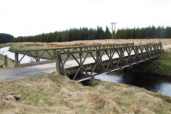
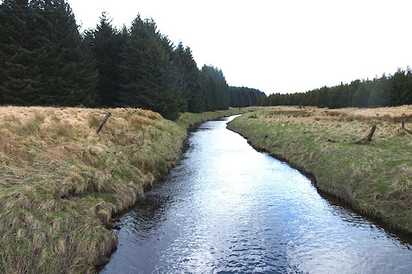 BOW04.jpg (taken 21.3.2008) 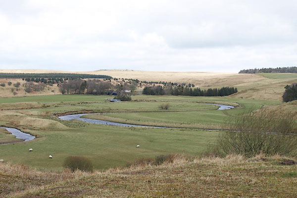 BOV90.jpg From Gowk Bank. (taken 21.3.2008) |
||||
|
|
||||
| evidence:- | old map:- OS County Series (Cmd 5 14) placename:- Irthing, River |
|||
| source data:- | Maps, County Series maps of Great Britain, scales 6 and 25
inches to 1 mile, published by the Ordnance Survey, Southampton,
Hampshire, from about 1863 to 1948. OS County Series (Cmd 9 11) OS County Series (Cmd 12 14) OS County Series (Cmd 12 15) OS County Series (Cmd 17 4) OS County Series (Cmd 17 7) OS County Series (Cmd 17 8) OS County Series (Cmd 17 11) OS County Series (Cmd 17 15) OS County Series (Cmd 18 1) |
|||
| source data:- | Maps, County Series maps of Great Britain, scales 6 and 25
inches to 1 mile, published by the Ordnance Survey, Southampton,
Hampshire, from about 1863 to 1948. shows the Irthing running into the Eden. |
|||
|
|
||||
| evidence:- | old map:- Gough 1350s-60s placename:- Irthyng |
|||
| source data:- | Map, colour photozincograph copy, reduced size facsimile, Gough
Map of Britain, scale about 28.5 miles to 1 inch, published by
the Ordnance Survey, Southampton, Hampshire, 1875. click to enlarge click to enlargeGgh1Cm.jpg "fl irthyng" Tributary to the Eden. item:- JandMN : 33 Image © see bottom of page |
|||
|
|
||||
| evidence:- | old map:- Gough 1350s-60s placename:- Irthyng |
|||
| source data:- | Map, lithograph facsimile, Gough Map of Britain, 20 miles to 1
inch? published by the Ordnance Survey, Southampton, Hampshire,
1935. click to enlarge click to enlargeGgh2Cm.jpg "fl irthyng" Tributary to the Eden. item:- JandMN : 34 Image © see bottom of page |
|||
|
|
||||
| evidence:- | old map:- Saxton 1579 placename:- Irthing Flu. item:- Trout Beck |
|||
| source data:- | Map, hand coloured engraving, Westmorlandiae et Cumberlandiae Comitatus ie Westmorland
and Cumberland, scale about 5 miles to 1 inch, by Christopher Saxton, London, engraved
by Augustinus Ryther, 1576, published 1579-1645.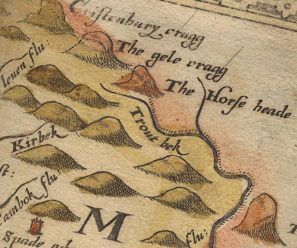 Sax9NY67.jpg "Trout bek" 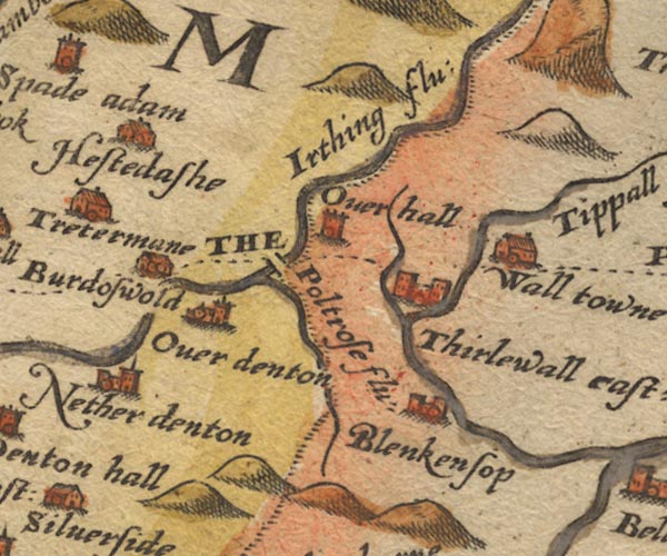 Sax9NY66.jpg "Irthing flu:" County boundary. 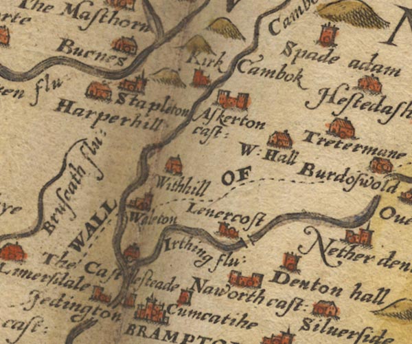 Sax9NY56.jpg "Irthing flu:" 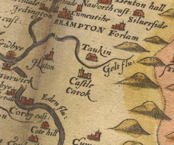 Sax9NY55.jpg item:- private collection : 2 Image © see bottom of page |
|||
|
|
||||
| evidence:- | old map:- Burghley 1590 (facsimile) placename:- Irthinge flu. |
|||
| source data:- | Facsimile map, A Platt of the Opposete Border of Scotland to ye West Marches of England,
parts of Cumberland and Scotland including the Debateable Land, from a manuscript
drawn for William Cecil, Lord Burghley, about 1590, published by R B Armstrong, 1897. courtesy of the National Library of Scotland  M048NY56.jpg "Irthinge flu" river item:- National Library of Scotland : MS6113 f.267 Image © National Library of Scotland |
|||
|
|
||||
| evidence:- | old map:- Mercator 1595 (edn?) placename:- Irding flu. placename:- Turnebeck flu. |
|||
| source data:- | Map, hand coloured engraving, Northumbria, Cumberlandia, et
Dunelmensis Episcopatus, ie Northumberland, Cumberland and
Durham etc, scale about 6.5 miles to 1 inch, by Gerard Mercator,
Duisberg, Germany, about 1595. MER8CumA.jpg "Irding flu." "Turnebeck flu." double line with stream lines; river, county boundary with Northumberland item:- JandMN : 169 Image © see bottom of page |
|||
|
|
||||
| evidence:- | old map:- Keer 1605 |
|||
| source data:- | Map, hand coloured engraving, Westmorland and Cumberland, scale
about 16 miles to 1 inch, probably by Pieter van den Keere, or
Peter Keer, about 1605 edition perhaps 1676. click to enlarge click to enlargeKER8.jpg "" double wiggly line, tapering to single; river; county boundary with Durham item:- Dove Cottage : 2007.38.110 Image © see bottom of page |
|||
|
|
||||
| evidence:- | probably old map:- Speed 1611 (Cum/EW) |
|||
| source data:- | Map, hand coloured engraving, Kingdome of Great Britaine and
Ireland, scale about 36 miles to 1 inch, by John Speed, about
1610-11, published by Thomas Bassett, Fleet Street and Richard
Chiswell, St Paul's Churchyard, London, 1676? click to enlarge click to enlargeSPD6Cm.jpg tapering wiggly line item:- private collection : 85 Image © see bottom of page |
|||
|
|
||||
| evidence:- | old map:- Speed 1611 (Cmd) placename:- Irthing flud |
|||
| source data:- | Map, hand coloured engraving, Cumberland and the Ancient Citie
Carlile Described, scale about 4 miles to 1 inch, by John Speed,
1610, published by J Sudbury and George Humble, Popes Head
Alley, London, 1611-12.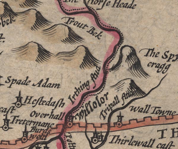 SP11NY67.jpg "Irthing flud" double line with stream lines; county boundary 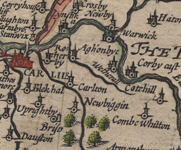 SP11NY45.jpg double line with stream lines, runs into the Eden item:- private collection : 16 Image © see bottom of page |
|||
|
|
||||
| evidence:- | poem:- Drayton 1612/1622 text placename:- Irthing |
|||
| source data:- | Poem, Poly Olbion, by Michael Drayton, published by published by
John Marriott, John Grismand and Thomas Dewe, and others?
London, part 1 1612, part 2 1622. goto source page :- "... ... Irthing comming in from her most plenteous source, Through many a cruell Crag, though she be forc'd to crawle, ..." |
|||
|
|
||||
| evidence:- | old map:- Drayton 1612/1622 placename:- Itching Flu. |
|||
| source data:- | Map, hand coloured engraving, Cumberlande and Westmorlande, by
Michael Drayton, probably engraved by William Hole, scale about
4 or 5 miles to 1 inch, published by John Mariott, John
Grismand, and Thomas Dewe, London, 1622.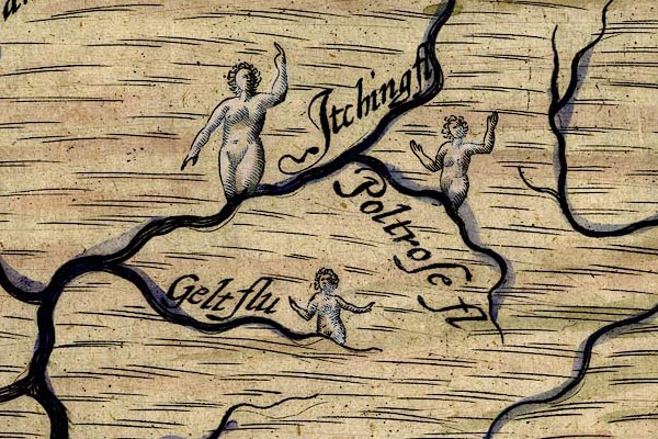 DRY503.jpg "Itching fl" River, naiad. item:- JandMN : 168 Image © see bottom of page |
|||
|
|
||||
| evidence:- | old map:- Jenner 1643 |
|||
| source data:- | Tables of distances with a maps, Westmerland, scale about 16
miles to 1 inch, and Cumberland, scale about 21 miles to 1 inch,
published by Thomas Jenner, London, 1643; published 1643-80. JEN4Sq.jpg wiggly line |
|||
|
|
||||
| evidence:- | old map:- Jansson 1646 placename:- Ireingh Flud |
|||
| source data:- | Map, hand coloured engraving, Cumbria and Westmoria, ie
Cumberland and Westmorland, scale about 3.5 miles to 1 inch, by
John Jansson, Amsterdam, Netherlands, 1646.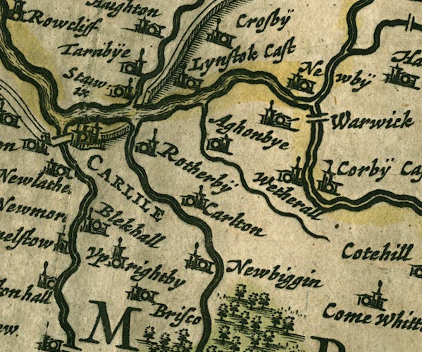 JAN3NY45.jpg  JAN3NY56.jpg 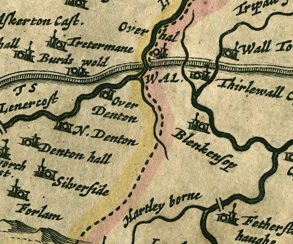 JAN3NY66.jpg 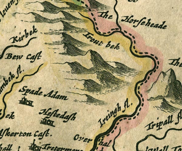 JAN3NY67.jpg "Ireingh fl." Double wiggly line, tapering to single. item:- JandMN : 88 Image © see bottom of page |
|||
|
|
||||
| evidence:- | old map:- Sanson 1679 |
|||
| source data:- | Map, hand coloured engraving, Ancien Royaume de Northumberland
aujourdhuy Provinces de Nort, ie the Ancient Kingdom of
Northumberland or the Northern Provinces, scale about 9.5 miles
to 1 inch, by Nicholas Sanson, Paris, France, 1679. click to enlarge click to enlargeSAN2Cm.jpg tapering wiggly line; river, county boundary with Northumberland item:- Dove Cottage : 2007.38.15 Image © see bottom of page |
|||
|
|
||||
| evidence:- | old map:- Seller 1694 (Cmd) |
|||
| source data:- | Map, uncoloured engraving, Cumberland, scale about 12 miles to 1
inch, by John Seller, 1694. click to enlarge click to enlargeSEL9.jpg tapering wiggly line; river; county boundary item:- Dove Cottage : 2007.38.89 Image © see bottom of page |
|||
|
|
||||
| evidence:- | old map:- Morden 1695 (EW) |
|||
| source data:- | Map, hand coloured engraving, England, including Wales, scale
about 27 miles to 1 inch, by Robert Morden, published by Abel
Swale Awnsham and John Churchil, London, about 1695. click to enlarge click to enlargeMRD3Cm.jpg tapering wiggly line item:- JandMN : 339 Image © see bottom of page |
|||
|
|
||||
| evidence:- | old map:- Morden 1695 (Cmd) placename:- Irthing River item:- Trout Beck River |
|||
| source data:- | Map, uncoloured engraving, Cumberland, scale about 4 miles to 1
inch, by Robert Morden, 1695, published by Abel Swale, the
Unicorn, St Paul's Churchyard, Awnsham, and John Churchill, the
Black Swan, Paternoster Row, London, 1695-1715.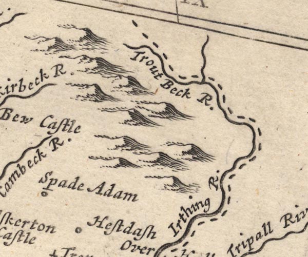 MD12NY67.jpg "Irthing R." "Trout Beck R." With the county boundary drawn alongside. 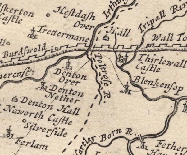 MD12NY66.jpg 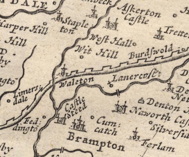 MD12NY56.jpg 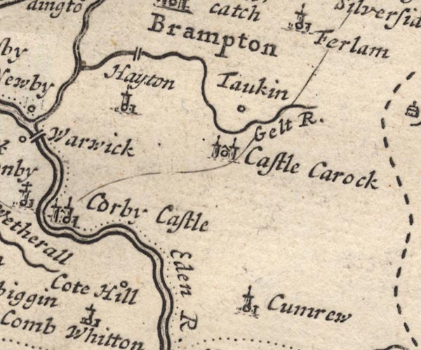 MD12NY55.jpg item:- JandMN : 90 Image © see bottom of page |
|||
|
|
||||
| evidence:- | old map:- Badeslade 1742 placename:- |
|||
| source data:- | Map, uncoloured engraving, A Map of Cumberland North from
London, scale about 11 miles to 1 inch, with descriptive text,
by Thomas Badeslade, London, engraved and published by William
Henry Toms, Union Court, Holborn, London, 1742. click to enlarge click to enlargeBD10.jpg "" tapering wiggly line; county boundary item:- JandMN : 115 Image © see bottom of page |
|||
|
|
||||
| evidence:- | old map:- Bowen and Kitchin 1760 placename:- Irthing River |
|||
| source data:- | Map, hand coloured engraving, A New Map of the Counties of
Cumberland and Westmoreland Divided into their Respective Wards,
scale about 4 miles to 1 inch, by Emanuel Bowen and Thomas
Kitchin et al, published by T Bowles, Robert Sayer, and John
Bowles, London, 1760. BO18NY77.jpg wiggly line, county boundary Cumberland Northumberland  BO18NY76.jpg "Irthing R." wiggly line, county boundary Cumberland Northumberland 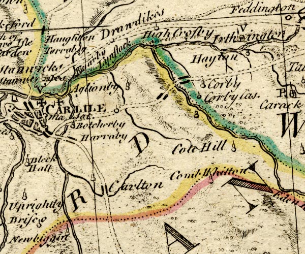 BO18NY45.jpg double line with stream lines, into the Eden 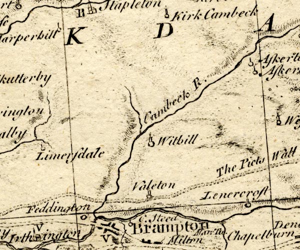 BO18NY56.jpg item:- Armitt Library : 2008.14.10 Image © see bottom of page |
|||
|
|
||||
| evidence:- | old text:- Pennant 1773 placename:- Irt, River placename:- Irthing, River item:- pearl fishery |
|||
| source data:- | Book, A Tour from Downing to Alston Moor, 1773, by Thomas
Pennant, published by Edward Harding, 98 Pall Mall, London, 1801. goto source Pennant's Tour 1773, page 177 "About a mile farther I crossed the Irt, or Irthing, celebrated by the Editor of Camden for its pearls. He tells us, that certain gentlemen obtained a patent for the fishery, which flattered them with the hopes of enriching themselves by those of the British river." |
|||
|
|
||||
| evidence:- | old map:- Donald 1774 (Cmd) |
|||
| source data:- | Map, hand coloured engraving, 3x2 sheets, The County of Cumberland, scale about 1
inch to 1 mile, by Thomas Donald, engraved and published by Joseph Hodskinson, 29
Arundel Street, Strand, London, 1774. D4NY68SW.jpg  D4NY67NE.jpg "Irthing River"  D4NY67SE.jpg  D4NY66NW.jpg  D4NY56SE.jpg  D4NY56SW.jpg "Irthing River" 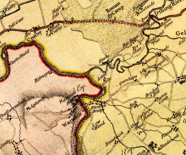 D4NY45NE.jpg single or double wiggly line; a river and county boundary item:- Carlisle Library : Map 2 Images © Carlisle Library |
|||
|
|
||||
| evidence:- | old text:- Camden 1789 placename:- Irthing, River |
|||
| source data:- | Book, Britannia, or A Chorographical Description of the Flourishing Kingdoms of England,
Scotland, and Ireland, by William Camden, 1586, translated from the 1607 Latin edition
by Richard Gough, published London, 1789. goto source Page 176:- "..." "... the river Irthing which runs with rapidity and noise by Naworth castle, ..." |
|||
|
|
||||
| evidence:- | old map:- Aikin 1790 (Cmd) placename:- Irthing River |
|||
| source data:- | Map, uncoloured engraving, Cumberland, by John Aikin, London,
1790. click to enlarge click to enlargeAIK3.jpg "Irthing R." river; on county boundary item:- JandMN : 145 Image © see bottom of page |
|||
|
|
||||
| evidence:- | old map:- Bailey 1797 placename:- Irthing River |
|||
| source data:- | Map, soil etc, uncoloured engraving, Cumberland, scale about 21
miles to 1 inch, by J Bailey, engraved by Neele, Strand,
published by Messrs Robinson, Paternoster Row and G Nicol, Pall
Mall, London, 1797. click to enlarge click to enlargeBY04.jpg "Irthing R." river; on county boundary item:- Armitt Library : A680.2 Image © see bottom of page |
|||
|
|
||||
| evidence:- | road book:- Cary 1798 (2nd edn 1802) placename:- Irthing, River |
|||
| source data:- | Road book, itineraries, Cary's New Itinerary, by John Cary, 181
Strand, London, 2nd edn 1802. goto source click to enlarge click to enlargeC38321.jpg page 321-322 "Cross the River Irthing" item:- JandMN : 228.1 Image © see bottom of page |
|||
|
|
||||
| evidence:- | old map:- Skrine 1801 placename:- Irthing River |
|||
| source data:- | Map, uncoloured engraving, rivers in Cumberland, Westmorland,
Lancashire and Cheshire, scale about 23 miles to 1 inch, by
Henry Skrine, published by P Elmsly, London, 1801. click to enlarge click to enlargeM076.jpg "Irthing R." river item:- JandMN : 421 Image © see bottom of page |
|||
|
|
||||
| evidence:- | old map:- Cooke 1802 placename:- Irthing River |
|||
| source data:- | Map, Cumberland, scale about 15.5 miles to 1 inch, by George
Cooke, 1802, bound in Gray's New Book of Roads, 1824, published
by Sherwood, Jones and Co, Paternoster Road, London, 1824. click to enlarge click to enlargeGRA1Cd.jpg "Irthing R." tapering wiggly line; river; county boundary item:- Hampshire Museums : FA2000.62.2 Image © see bottom of page |
|||
|
|
||||
| evidence:- | old map:- Cooper 1808 placename:- Irthing River |
|||
| source data:- | Map, uncoloured engraving, Cumberland, scale about 10.5 miles to
1 inch, drawn and engraved by Cooper, published by R Phillips,
Bridge Street, Blackfriars, London, 1808. click to enlarge click to enlargeCOP3.jpg "Irthing R." tapering wiggly line; river, county boundary item:- JandMN : 86 Image © see bottom of page |
|||
|
|
||||
| evidence:- | old map:- Wallis 1810 (Cmd) placename:- Irthing River |
|||
| source data:- | Road map, hand coloured engraving, Cumberland, scale about 16
miles to 1 inch, by James Wallis, 77 Berwick Stree, Soho,
London, 1810. click to enlarge click to enlargeWL13.jpg "Irthing R." river; county boundary item:- Dove Cottage : 2009.81.10 Image © see bottom of page |
|||
|
|
||||
| evidence:- | old map:- Hall 1820 (Cmd) placename:- Irthing River |
|||
| source data:- | Map, hand coloured engraving, Cumberland, scale about 21 miles
to 1 inch, engraved by Sidney Hall, published by S Leigh, 18
Strand, London, 1820-31. click to enlarge click to enlargeHA14.jpg "Irthing R." tapering wiggly line; river; county boundary item:- JandMN : 91 Image © see bottom of page |
|||
|
|
||||
| evidence:- | old map:- Ford 1839 map placename:- Irthing, River |
|||
| source data:- | Map, uncoloured engraving, Map of the Lake District of
Cumberland, Westmoreland and Lancashire, scale about 3.5 miles
to 1 inch, published by Charles Thurnam, Carlisle, and by R
Groombridge, 5 Paternoster Row, London, 3rd edn 1843. FD02NY66.jpg "R. Irthing" item:- JandMN : 100.1 Image © see bottom of page |
|||
|
|
||||
| evidence:- | old map:- Garnett 1850s-60s H placename:- Irthing, River |
|||
| source data:- | Map of the English Lakes, in Cumberland, Westmorland and
Lancashire, scale about 3.5 miles to 1 inch, published by John
Garnett, Windermere, Westmorland, 1850s-60s. GAR2NY45.jpg "R. Irthing" river, double line item:- JandMN : 82.1 Image © see bottom of page |
|||
|
|
||||
| evidence:- | old photograph:- Bogg 1898 |
|||
| source data:- | Photograph, halftone print, Waterfall on the Irthing, Gilsland, perhaps Northumberland?
published by Edmund Bogg, 3 Woodhouse Lane, and James Miles, Guildford Street, Leeds,
Yorkshire, 1898.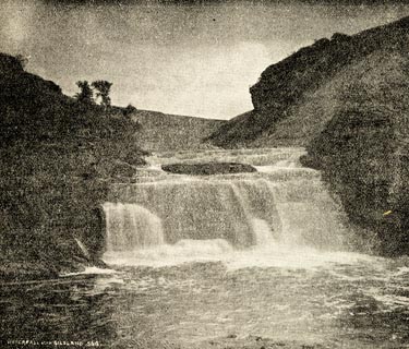 click to enlarge click to enlargeBGG106.jpg Included on p.43 of Lakeland and Ribblesdale, by Edmund Bogg. item:- JandMN : 231.6 Image © see bottom of page |
|||
|
|
||||
| evidence:- | old photograph:- Bogg 1898 item:- meander |
|||
| source data:- | Photograph, halftone print, The Irthing near Burdoswald, Waterhead, Cumberland, by
Gibson, published by Edmund Bogg, 3 Woodhouse Lane, and James Miles, Guildford Street,
Leeds, Yorkshire, 1898.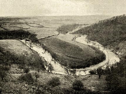 click to enlarge click to enlargeBGG105.jpg Included on p.16 of Lakeland and Ribblesdale, by Edmund Bogg. item:- JandMN : 231.5 Image © see bottom of page |
|||
|
|
||||
| evidence:- | perhaps old painting:- |
|||
| source data:- | Painting, oil painting, River Scene near Naworth, Brampton, Cumberland, by George
James Howard, 9th Earl of Carlisle, 1870-75.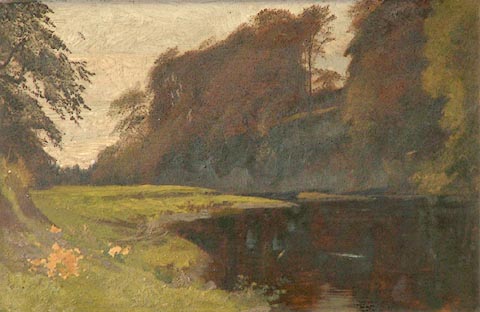 click to enlarge click to enlargePR1149.jpg Autumn; to left of composition lies the flat grassy bank of a wide shallow river framed by a large tree. To right, a wooded hillside descends to meet the slowly flowing water. Although the work was given to his daughter in 1899 its murky tones and hesitant use of paint suggest that it is of a much earlier date, most likely to have been executed during the transitional period of the early 1870s when Howard was experiencing a loss of confidence and was vacillating between the depiction of figure subjects and that of landscape. inscribed at reverse:- "Aurea Howard from Father. April 1899" item:- Tullie House Museum : 1973.95.1 Image © Tullie House Museum |
|||
|
|
||||
| evidence:- | old print:- Rose 1832-35 |
|||
| source data:- | Print, engraving, Gilsland Spa, Cumberland, by Thomas Allom, engraved by J Sands,
1833.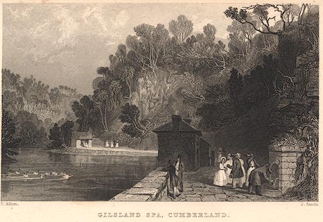 click to enlarge click to enlargeR249.jpg "Gilsland Spa, Cumberland" item:- JandMN : 96.16 Image © see bottom of page |
|||
|
|
||||
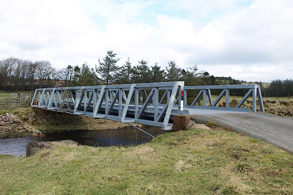
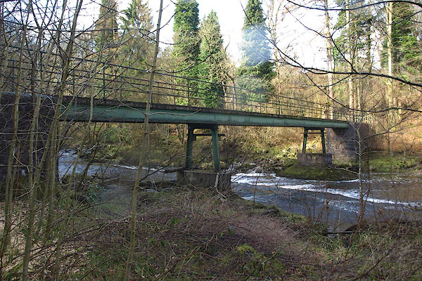
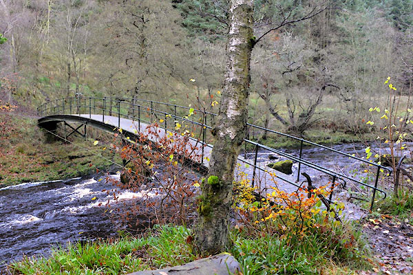
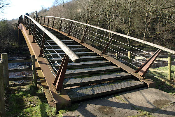
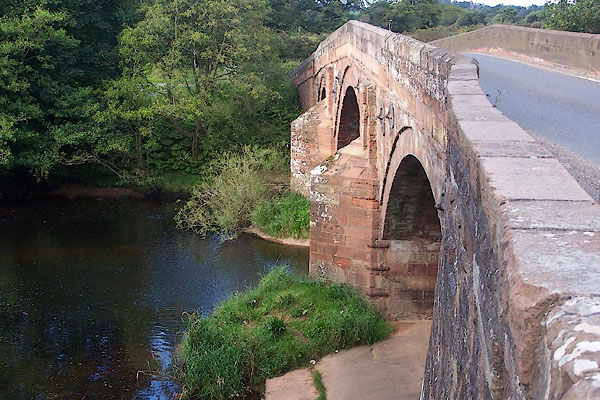
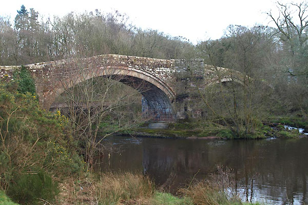
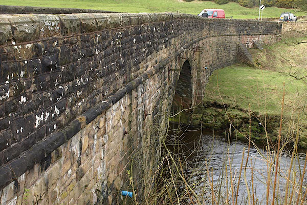
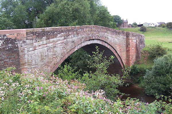
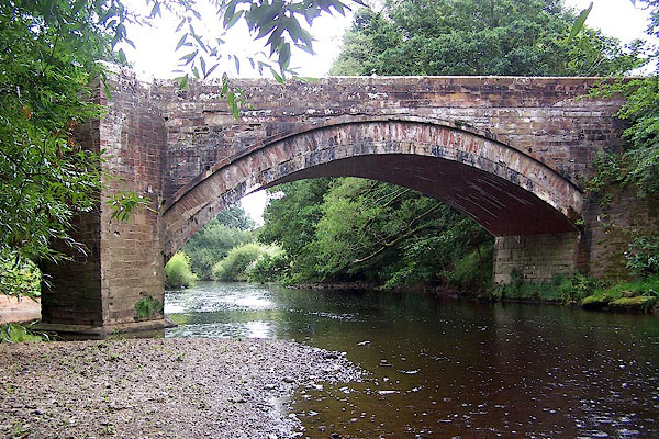
 CGX09.jpg At Gilsland Spa, (taken 17.11.2017) 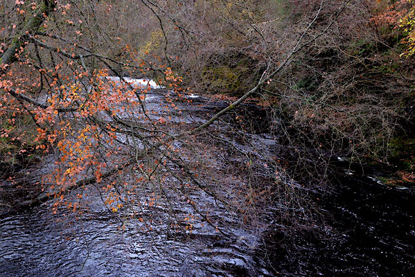 CGX12.jpg At Gilsland Spa, (taken 17.11.2017) 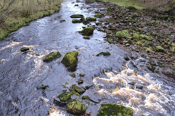 CGX13.jpg At Gilsland Spa, (taken 17.11.2017) 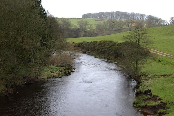 BOV63.jpg At Mumps Hall Bridge. (taken 21.3.2008) 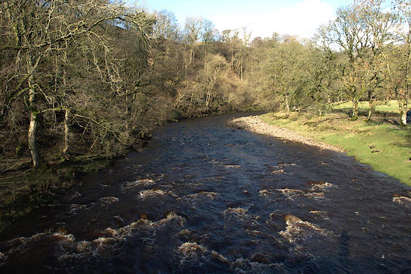 BUB55.jpg (taken 16.2.2011) 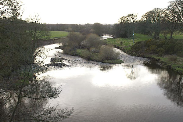 BOW38.jpg At Lanercost Bridge. (taken 21.3.2008) 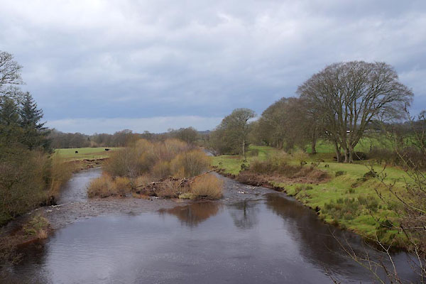 CEM54.jpg At Lanercost Bridge; after floods, notice the piled up timber. (taken 25.1.2016) 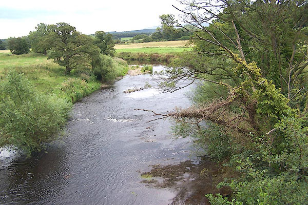 BMO14.jpg At Newby Bridge. (taken 25.8.2006) 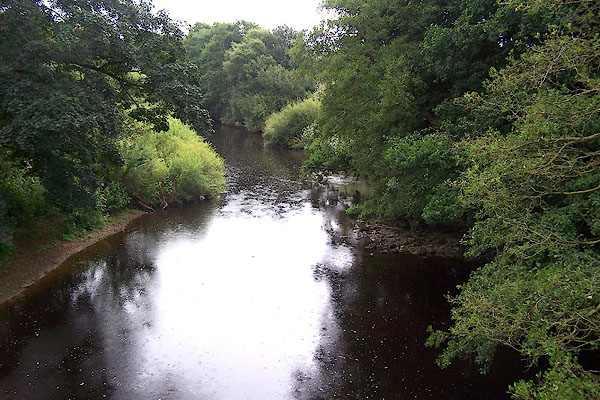 BMO28.jpg At Ruleholme Bridge. (taken 25.8.2006) 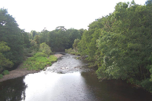 BOB60.jpg At Irthing Bridge. (taken 31.8.2007) |
||||
|
|
||||
| places:- |
|
|||
|
||||
|
||||
|
||||
|
||||
|
||||
|
||||
|
||||
|
||||
|
||||
|
||||
|
||||
|
||||
|
||||
|
||||
|
||||
|
||||
|
||||
|
||||
|
||||
|
||||
|
||||
|
||||
|
||||
Lakes Guides menu.