Old Cumbria Gazetteer
 |
 |
|
||
| Cartmel | ||||
| civil parish:- | Lower Allithwaite (formerly Lancashire) | |||
| county:- | Cumbria | |||
| locality type:- | locality | |||
| locality type:- | buildings | |||
| locality type:- | selected place | |||
| coordinates:- | SD37837876 (etc) | |||
| 1Km square:- | SD3878 | |||
| 10Km square:- | SD37 | |||
| latitude; longitude:- | 2d 57.2m W; 54d 12.0m N | |||
|
|
||||
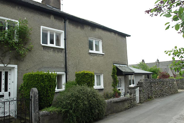
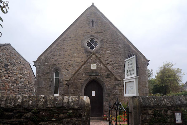
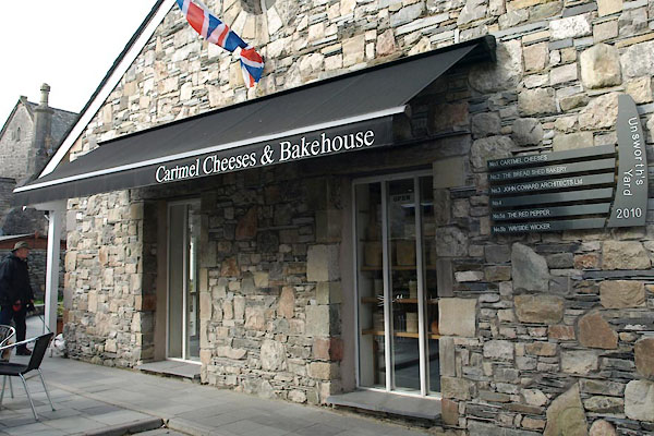
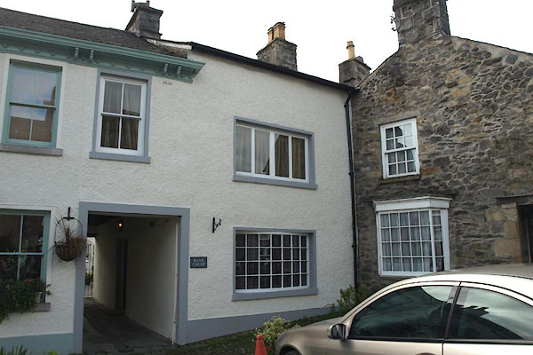
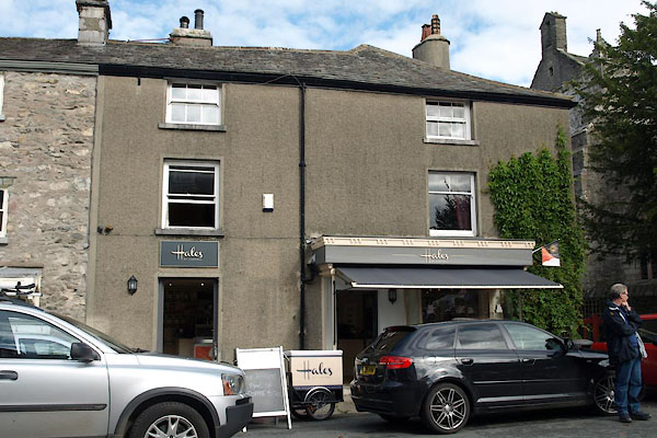
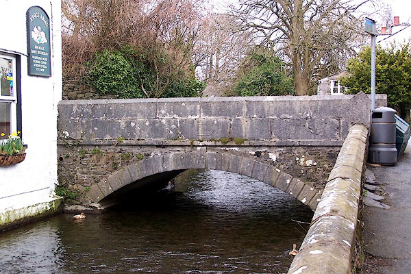
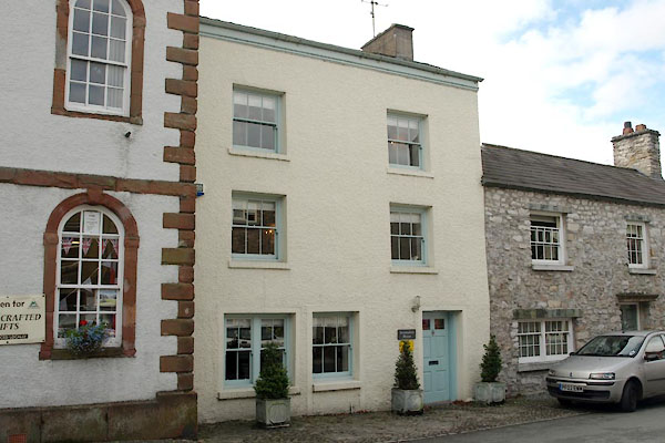
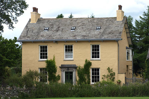
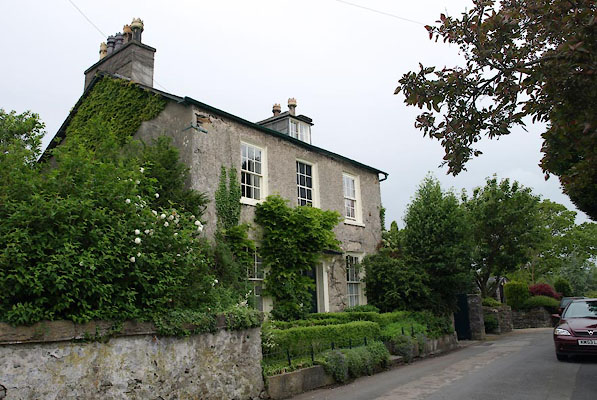
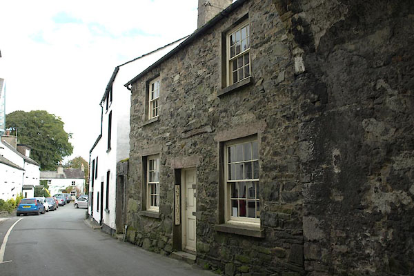
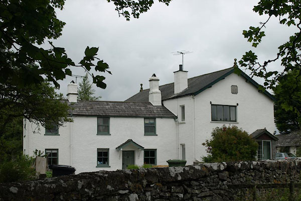
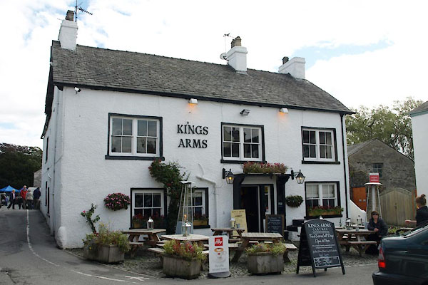
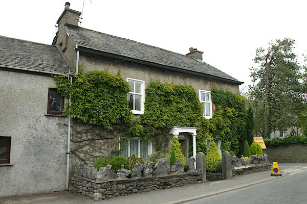
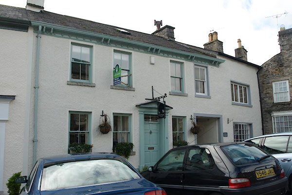
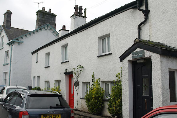
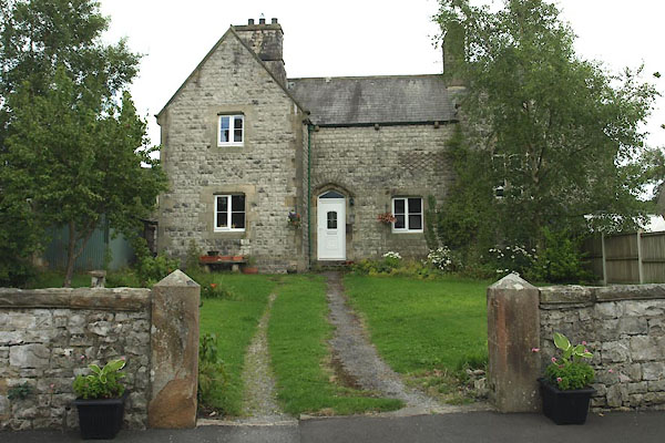
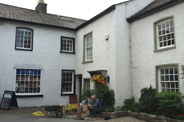
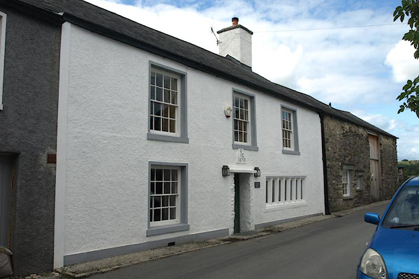
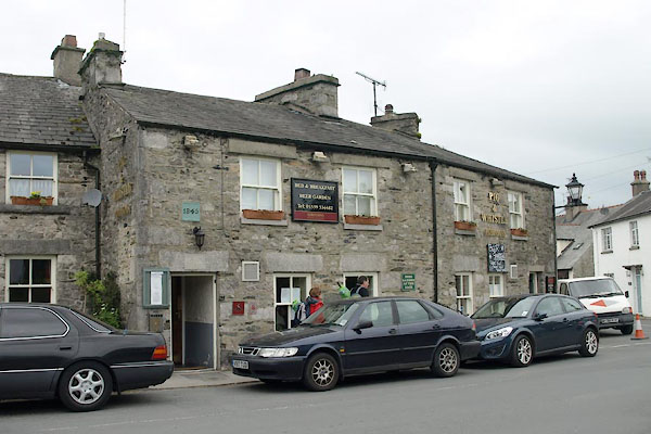
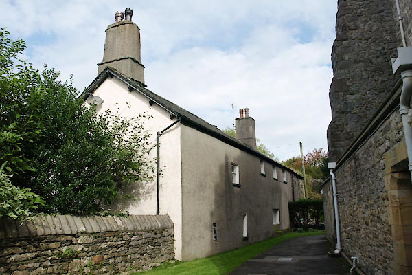
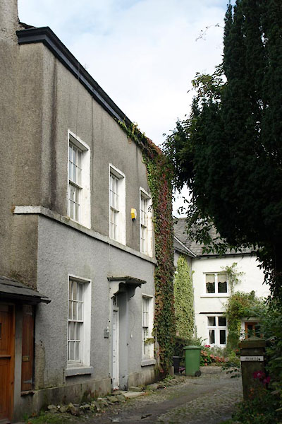
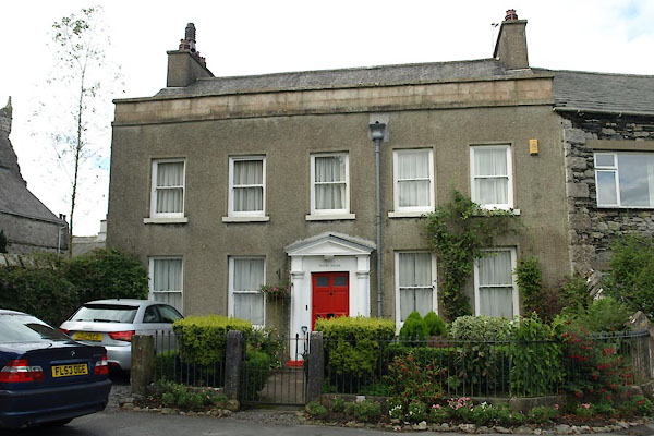
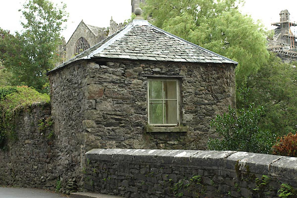
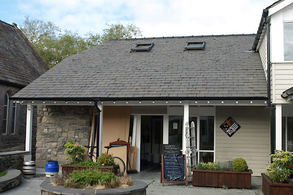
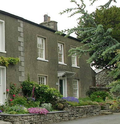
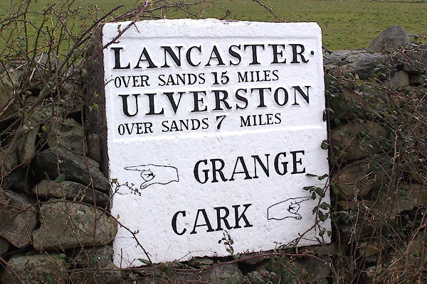
 BLU29.jpg (taken 7.4.2006) 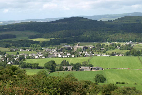 BUR67.jpg (taken 9.6.2011) |
||||
|
|
||||
| evidence:- | old map:- Gough 1350s-60s placename:- Kartmell |
|||
| source data:- | Map, colour photozincograph copy, reduced size facsimile, Gough
Map of Britain, scale about 28.5 miles to 1 inch, published by
the Ordnance Survey, Southampton, Hampshire, 1875. click to enlarge click to enlargeGgh1Cm.jpg item:- JandMN : 33 Image © see bottom of page |
|||
|
|
||||
| evidence:- | old map:- Gough 1350s-60s placename:- Kartmell |
|||
| source data:- | Map, lithograph facsimile, Gough Map of Britain, 20 miles to 1
inch? published by the Ordnance Survey, Southampton, Hampshire,
1935. click to enlarge click to enlargeGgh2Cm.jpg item:- JandMN : 34 Image © see bottom of page |
|||
|
|
||||
| evidence:- | old map:- Ptolemy 1540 placename:- Carnnel |
|||
| source data:- | Map, copy, uncoloured lithograph? Anglia II Nova Tabula, New Map
of England, scale about 50 miles to 1 inch, data in the
Geographia by Claudius Ptolemy, engraved by Sebastian Munster,
Basle, Switzerland, 1540.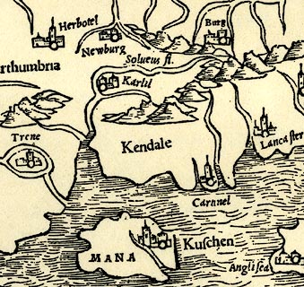 click to enlarge click to enlargePTY4Cm.jpg "Ca[rnn]el" circle, building, tower; town item:- private collection : 131 Image © see bottom of page |
|||
|
|
||||
| evidence:- | old map:- Lloyd 1573 placename:- Cartmel |
|||
| source data:- | Map, hand coloured copper plate engraving, Angliae Regni,
Kingdom of England, with Wales, scale about 24 miles to 1 inch, authored by Humphrey
Lloyd, Denbigh, Clwyd, drawn and engraved
by Abraham Ortelius, Netherlands, 1573. click to enlarge click to enlargeLld1Cm.jpg "Cartmel" item:- Hampshire Museums : FA1998.69 Image © see bottom of page |
|||
|
|
||||
| evidence:- | old map:- Morden 1695 (EW) placename:- Cartmel |
|||
| source data:- | Map, hand coloured engraving, England, including Wales, scale
about 27 miles to 1 inch, by Robert Morden, published by Abel
Swale Awnsham and John Churchil, London, about 1695. click to enlarge click to enlargeMRD3Cm.jpg "Cartmel" circle; village or town item:- JandMN : 339 Image © see bottom of page |
|||
|
|
||||
| evidence:- | old map:- Pennant 1777 placename:- Cartmel |
|||
| source data:- | Map, hand coloured engraving, A Map of Scotland, Hebrides and
Part of England, drawn for Thomas Pennant, engraved by J Bayly,
published by Benjamin White, London, 1777.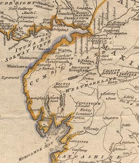 click to enlarge click to enlargePEN1Cm.jpg "Cartmel" circle; buildings, village, etc item:- private collection : 66 Image © see bottom of page |
|||
|
|
||||
| evidence:- | descriptive text:- West 1778 (11th edn 1821) |
|||
| source data:- | Guide book, A Guide to the Lakes, by Thomas West, published by
William Pennington, Kendal, Cumbria once Westmorland, and in
London, 1778 to 1821. goto source goto sourcePage 31:- "Cartmel is a small district belonging to Lancashire, but united to Westmorland a little below Bowness, on Windermere-water, from whence it extends itself betwixt the rivers Leven and Kent, and so intersects the great bay at Morecambe. It is three miles across from Cark-lane, where you quit the sands to Sand-gate. ..." "..." "... The only thing worthy of notice in Cartmel is the Church, ..." |
|||
|
|
||||
| evidence:- | old map:- West 1784 map placename:- Cartmel |
|||
| source data:- | Map, hand coloured engraving, A Map of the Lakes in Cumberland,
Westmorland and Lancashire, scale about 3.5 miles to 1 inch,
engraved by Paas, 53 Holborn, London, about 1784.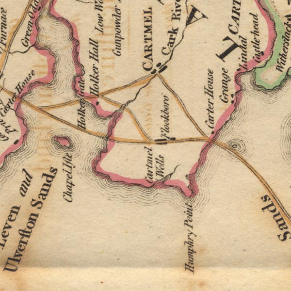 Ws02SD37.jpg "CARTMEL" item:- Armitt Library : A1221.1 Image © see bottom of page |
|||
|
|
||||
| evidence:- | road book:- Cary 1798 (2nd edn 1802) placename:- Cartmel |
|||
| source data:- | Road book, itineraries, Cary's New Itinerary, by John Cary, 181
Strand, London, 2nd edn 1802. goto source click to enlarge click to enlargeC38319.jpg page 319-320 "[Over the sands to] Cartmel" item:- JandMN : 228.1 Image © see bottom of page |
|||
|
|
||||
| evidence:- | descriptive text:- Baker 1802 placename:- Cartmel |
|||
| source data:- | Perspective road map with sections in Lancashire, Westmorland,
and Cumberland, by J Baker, London 1802. pp.25-26:- "... Cartmel town, that will be found lurking among the hills, between two bays of the sea, the one formed by the river Kenken, the other by the conflux of some smaller streams, there falling from the great Westmorland and Cumberland fells into the Irish sea. ..." |
|||
|
|
||||
| evidence:- | old map:- Cooke 1802 placename:- Cartmel |
|||
| source data:- | Map, Lancashire, scale about 18 miles to 1 inch, by George
Cooke, 1802, bound in Gray's New Book of Roads, 1824, published
by Sherwood, Jones and Co, Paternoster Road, London, 1824.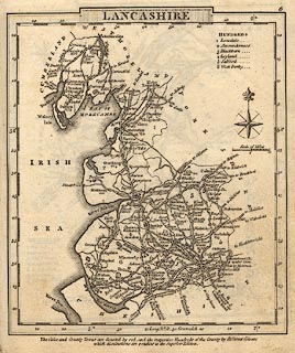 click to enlarge click to enlargeGRA1La.jpg "Cartmel / 266" blocks, upright lowercase text; town, distance from London item:- Hampshire Museums : FA2000.62.6 Image © see bottom of page |
|||
|
|
||||
| evidence:- | old map:- Laurie and Whittle 1806 placename:- Cartmel |
|||
| source data:- | Road map, Completion of the Roads to the Lakes, scale about 10
miles to 1 inch, by Nathaniel Coltman? 1806, published by Robert
H Laurie, 53 Fleet Street, London, 1834. click to enlarge click to enlargeLw18.jpg "Cartmel 265" market town; distance from London item:- private collection : 18.18 Image © see bottom of page |
|||
|
|
||||
| evidence:- | old text:- Capper 1808 placename:- Cartmell item:- population; market; fair |
|||
| source data:- | Gazetteer, A Topographical Dictionary of the United Kingdom,
compiled by Benjamin Pitts Capper, published by Richard
Phillips, Bridge Street, Blackfriars, London, 1808; published
1808-29. goto source "..." "CARTMELL, a parish and market-town in the hundred of Lonsdale, Lancaster, 10 miles from Ulverstone, and 263 from London; containing 87 houses and 1204 inhabitants. It is pleasantly situated in a woody vale on a promontory, which runs into the Irish Sea. The south-east or west sides are bounded by sands, on which there are guides to direct travellers. The northern part is called Cartmell Fell, a hilly district, and the southern part is a well cultivated valley, in the middle of which stands the town. The church is a large handsome gothic building, ... It has a good free grammar-school, rebuilt in 1790, but no manufactures. Market on Thursday and Saturday; fairs, Whit-Monday, and Tuesday after 23 October. It is a curacy. - Beauties of England." "..." |
|||
|
|
||||
| evidence:- | old map:- Otley 1818 placename:- Cartmel |
|||
| source data:- | Map, uncoloured engraving, The District of the Lakes,
Cumberland, Westmorland, and Lancashire, scale about 4 miles to
1 inch, by Jonathan Otley, 1818, engraved by J and G Menzies,
Edinburgh, Scotland, published by Jonathan Otley, Keswick,
Cumberland, et al, 1833.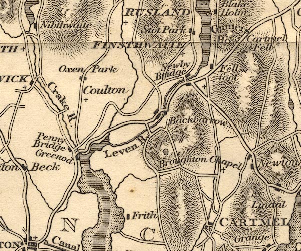 OT02SD38.jpg "CARTMEL" item:- JandMN : 48.1 Image © see bottom of page |
|||
|
|
||||
| evidence:- | old map:- Greenwood 1824 (Lan) placename:- Cartmell |
|||
| source data:- | Map of the County Palatine of Lancashire, scale about 1 inch to
1 mile, surveyed by C Greenwood, drawn by R Creighton, engraved
by S Neele and Son, published by W Fowler and C Greenwood,
Wakefield, Yorkshire and Leicester Square, London, 1818.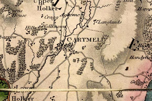 grw6crtm.jpg "CARTMELL" street map; labelled in block caps for a market town. item:- Armitt Library : A1824 Image © see bottom of page |
|||
|
|
||||
| evidence:- | descriptive text:- Ford 1839 (3rd edn 1843) placename:- Cartmel item:- population, Cartmel |
|||
| source data:- | Guide book, A Description of Scenery in the Lake District, by
Rev William Ford, published by Charles Thurnam, Carlisle, by W
Edwards, 12 Ave Maria Lane, Charles Tilt, Fleet Street, William
Smith, 113 Fleet Street, London, by Currie and Bowman,
Newcastle, by Bancks and Co, Manchester, by Oliver and Boyd,
Edinburgh, and by Sinclair, Dumfries, 1839. goto source Page 3:- "..." "CARTMEL" "Is a small market-town, situated on the peninsula formed by the Kent and Leven rivers. The most interesting object, as is usually the case in all our small towns and villages, is the church, dedicated to St. Mary, an ancient and handsome structure, formerly a priory, and containing several fine monuments. The town is chiefly supported by its mineral spring, called Holy Well, three miles south of the town, celebrated as a remedy for stone, gout, and cutaneous complaints. ..." goto sourcePage 154:- "..." "CARTMEL is a small market-town, having an ancient and handsome church. Three miles hence is a medicinal spring, called Holy Well, much fre-" goto sourcePage 156:- "[fre]quented. Population, 347." |
|||
|
|
||||
| evidence:- | old map:- Ford 1839 map placename:- Cartmel |
|||
| source data:- | Map, uncoloured engraving, Map of the Lake District of
Cumberland, Westmoreland and Lancashire, scale about 3.5 miles
to 1 inch, published by Charles Thurnam, Carlisle, and by R
Groombridge, 5 Paternoster Row, London, 3rd edn 1843.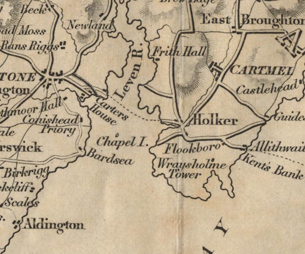 FD02SD37.jpg "CARTMEL" item:- JandMN : 100.1 Image © see bottom of page |
|||
|
|
||||
| evidence:- | old map:- Garnett 1850s-60s H placename:- Cartmel |
|||
| source data:- | Map of the English Lakes, in Cumberland, Westmorland and
Lancashire, scale about 3.5 miles to 1 inch, published by John
Garnett, Windermere, Westmorland, 1850s-60s. GAR2SD37.jpg "Cartmel" blocks, settlement item:- JandMN : 82.1 Image © see bottom of page |
|||
|
|
||||
 Post Office maps Post Office maps |
||||
|
|
||||
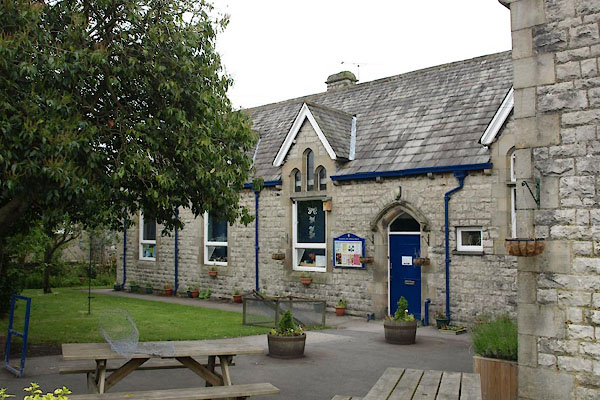
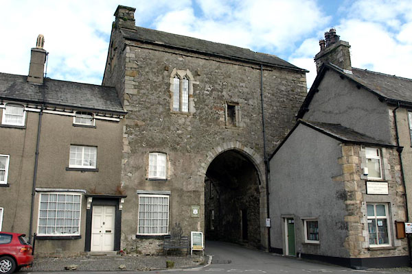
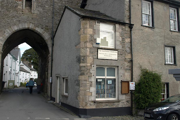
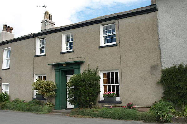
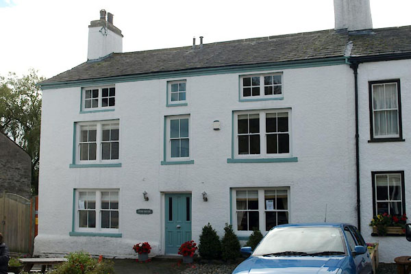
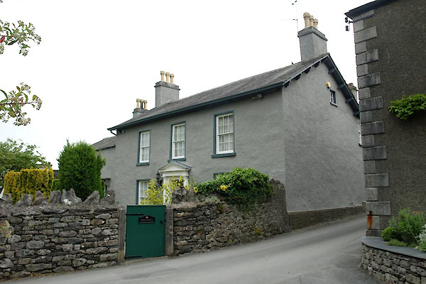
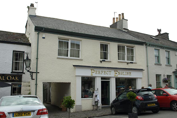
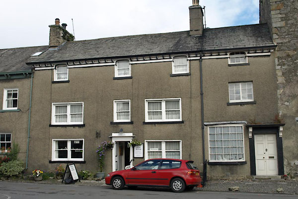
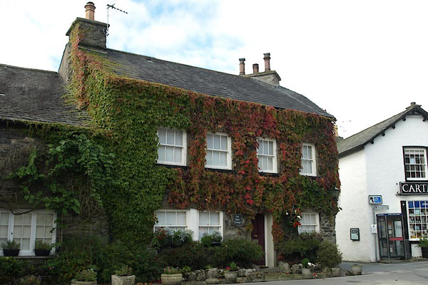
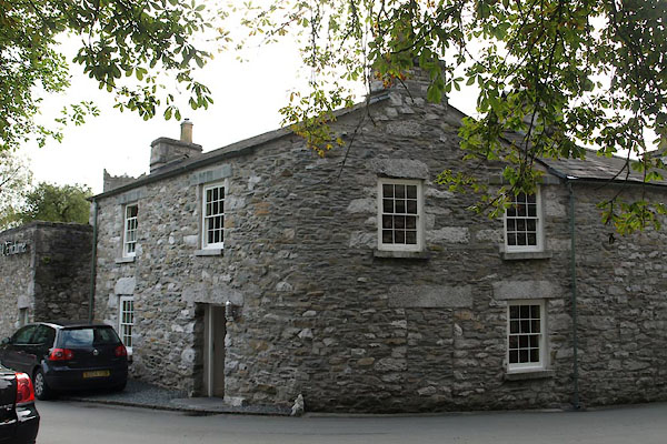
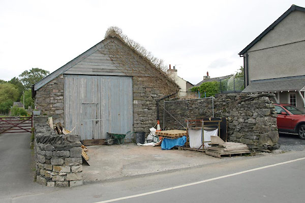
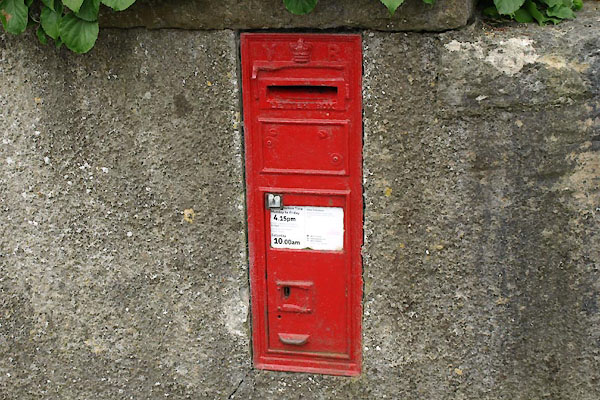
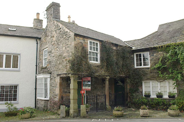
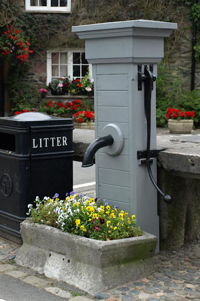
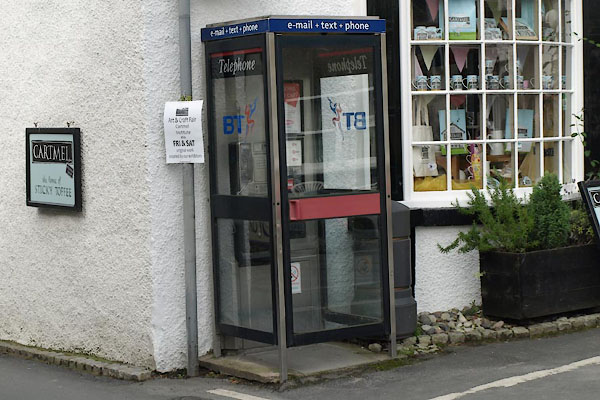
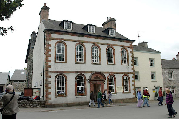
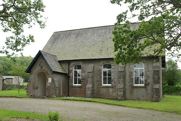
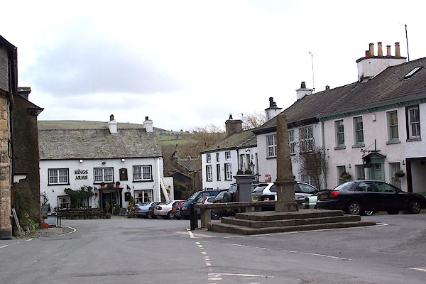
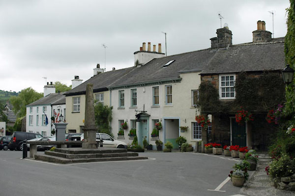 BTG28.jpg (taken 30.7.2010) |
||||
|
|
||||
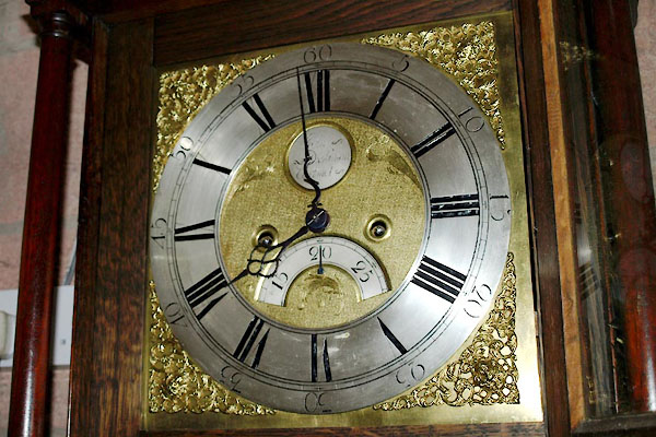 BWW83.jpg Brass dial of a longcase clock by:- "John / Dickinson / Cartmel" John Dickinson, clockmaker, Cartmel (taken 20.7.2012) courtesy of G K Hadfield |
||||
|
|
||||
| places:- |
|
|||
|
||||
|
||||
|
||||
|
||||
|
||||
|
||||
|
||||
|
||||
|
||||
|
||||
|
||||
|
||||
|
||||
|
||||
|
||||
|
||||
|
||||
|
||||
|
||||
|
||||
|
||||
|
||||
|
||||
|
||||
|
||||
|
||||
|
||||
|
||||
|
||||
|
||||
|
||||
|
||||
|
||||
|
||||
|
||||
|
||||
|
||||
|
||||
|
||||
|
||||
|
||||
|
||||
|
||||
|
||||
|
||||
|
||||
|
||||
|
||||
|
||||
|
||||
|
||||
|
||||
|
||||
|
||||
|
||||
|
||||
|
||||
|
||||
|
||||
|
||||
|
||||
|
||||
|
||||
|
||||
|
||||
|
||||
|
||||
|
||||
|
||||
|
||||
|
||||
|
||||
|
||||
|
||||
|
||||
|
||||
|
||||
|
||||
|
||||
|
||||
|
||||
|
||||
|
||||
|
||||
|
||||
Lakes Guides menu.