 Old Cumbria Gazetteer
 |
 |
|
| pinfold, Cartmel | ||
| Street:- | Causeway (The) | |
| locality:- | Cartmel | |
| civil parish:- | Lower Allithwaite (formerly Lancashire) | |
| county:- | Cumbria | |
| locality type:- | pinfold (site) | |
| coordinates:- | SD38057866 | |
| 1Km square:- | SD3878 | |
| 10Km square:- | SD37 | |
|
|
||
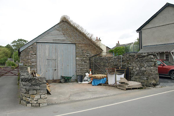 BUQ55.jpg Best guess at the pinfold location. (taken 1.6.2011) |
||
|
|
||
| evidence:- | old map:- OS County Series (lAN 17 3) |
|
| source data:- | Maps, County Series maps of Great Britain, scales 6 and 25
inches to 1 mile, published by the Ordnance Survey, Southampton,
Hampshire, from about 1863 to 1948. "Pound" |
|
|
|
||
 Lakes Guides menu.