


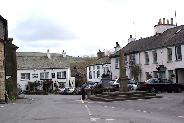
BLU29.jpg (taken 7.4.2006)
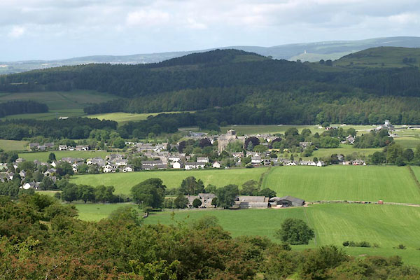
BUR67.jpg (taken 9.6.2011)
placename:- Kartmell
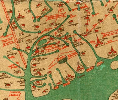 click to enlarge
Ggh1Cm.jpg
item:- JandMN : 33
Image © see bottom of page
placename:- Kartmell
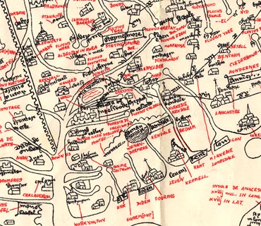 click to enlarge
Ggh2Cm.jpg
item:- JandMN : 34
Image © see bottom of page
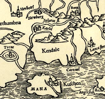
placename:- Carnnel
 click to enlarge
PTY4Cm.jpg
"Ca[rnn]el"
circle, building, tower; town
item:- private collection : 131
Image © see bottom of page
placename:- Cartmel
 click to enlarge
Lld1Cm.jpg
"Cartmel"
item:- Hampshire Museums : FA1998.69
Image © see bottom of page
placename:- Cartmel
 click to enlarge
MRD3Cm.jpg
"Cartmel"
circle; village or town
item:- JandMN : 339
Image © see bottom of page
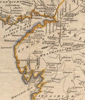
placename:- Cartmel
 click to enlarge
PEN1Cm.jpg
"Cartmel"
circle; buildings, village, etc
item:- private collection : 66
Image © see bottom of page
 goto source
Page 31:- "Cartmel is a small district belonging to Lancashire, but united to Westmorland a little below Bowness, on Windermere-water, from whence it extends itself betwixt the rivers Leven and Kent, and so intersects the great bay at Morecambe. It is three miles across from Cark-lane, where you quit the sands to Sand-gate. ..."
"..."
"... The only thing worthy of notice in Cartmel is the Church, ..."
placename:- Cartmel
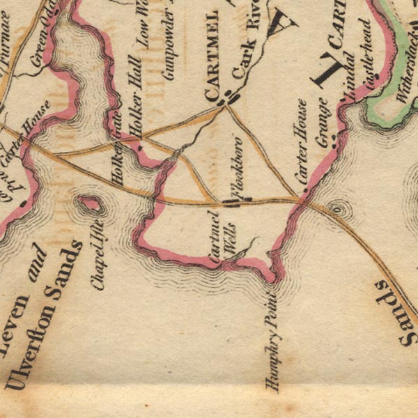
Ws02SD37.jpg
"CARTMEL"
item:- Armitt Library : A1221.1
Image © see bottom of page
placename:- Cartmel
 goto source
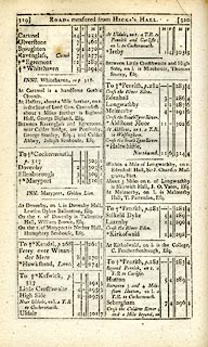 click to enlarge
C38319.jpg
page 319-320 "[Over the sands to] Cartmel"
item:- JandMN : 228.1
Image © see bottom of page
placename:- Cartmel
pp.25-26:- "... Cartmel town, that will be found lurking among the hills, between two bays of the sea, the one formed by the river Kenken, the other by the conflux of some smaller streams, there falling from the great Westmorland and Cumberland fells into the Irish sea. ..."
placename:- Cartmel
 click to enlarge
GRA1La.jpg
"Cartmel / 266"
blocks, upright lowercase text; town, distance from London
item:- Hampshire Museums : FA2000.62.6
Image © see bottom of page
placename:- Cartmel
 click to enlarge
Lw18.jpg
"Cartmel 265"
market town; distance from London
item:- private collection : 18.18
Image © see bottom of page
placename:- Cartmell
item:- population; market; fair
 goto source
"..."
"CARTMELL, a parish and market-town in the hundred of Lonsdale, Lancaster, 10 miles from Ulverstone, and 263 from London; containing 87 houses and 1204 inhabitants. It is pleasantly situated in a woody vale on a promontory, which runs into the Irish Sea. The south-east or west sides are bounded by sands, on which there are guides to direct travellers. The northern part is called Cartmell Fell, a hilly district, and the southern part is a well cultivated valley, in the middle of which stands the town. The church is a large handsome gothic building, ... It has a good free grammar-school, rebuilt in 1790, but no manufactures. Market on Thursday and Saturday; fairs, Whit-Monday, and Tuesday after 23 October. It is a curacy. - Beauties of England."
"..."
placename:- Cartmel
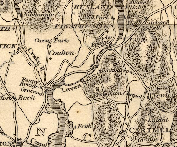
OT02SD38.jpg
"CARTMEL"
item:- JandMN : 48.1
Image © see bottom of page
placename:- Cartmell
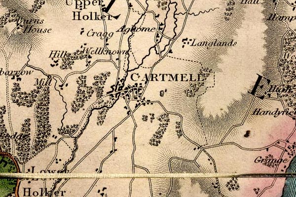
grw6crtm.jpg
"CARTMELL"
street map; labelled in block caps for a market town.
item:- Armitt Library : A1824
Image © see bottom of page
placename:- Cartmel
item:- population, Cartmel
 goto source
Page 3:- "..."
"CARTMEL"
"Is a small market-town, situated on the peninsula formed by the Kent and Leven rivers. The most interesting object, as is usually the case in all our small towns and villages, is the church, dedicated to St. Mary, an ancient and handsome structure, formerly a priory, and containing several fine monuments. The town is chiefly supported by its mineral spring, called Holy Well, three miles south of the town, celebrated as a remedy for stone, gout, and cutaneous complaints. ..."
 goto source
Page 154:- "..."
"CARTMEL is a small market-town, having an ancient and handsome church. Three miles hence is a medicinal spring, called Holy Well, much fre-"
 goto source
Page 156:- "[fre]quented. Population, 347."
placename:- Cartmel
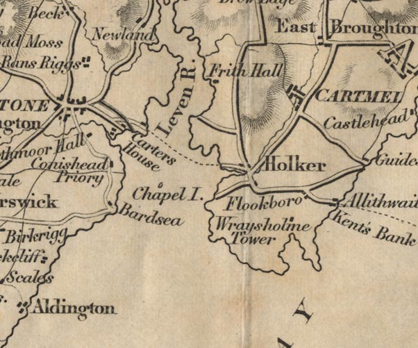
FD02SD37.jpg
"CARTMEL"
item:- JandMN : 100.1
Image © see bottom of page
placename:- Cartmel
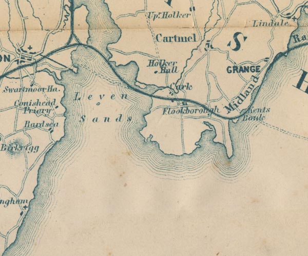
GAR2SD37.jpg
"Cartmel"
blocks, settlement
item:- JandMN : 82.1
Image © see bottom of page
 Post Office maps
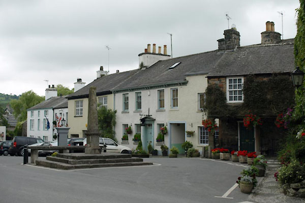
BTG28.jpg (taken 30.7.2010)
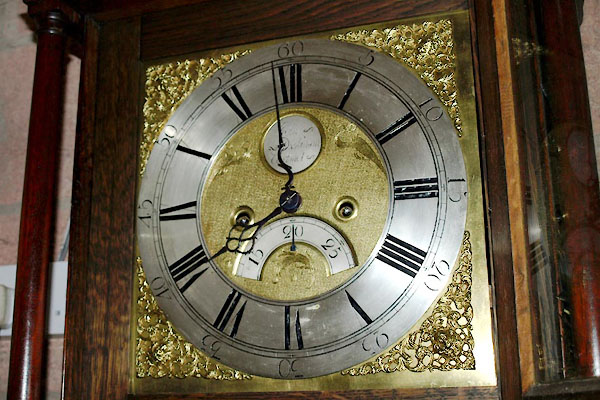
BWW83.jpg Brass dial of a longcase clock by:-
"John / Dickinson / Cartmel" John Dickinson, clockmaker, Cartmel
(taken 20.7.2012) courtesy of G K Hadfield
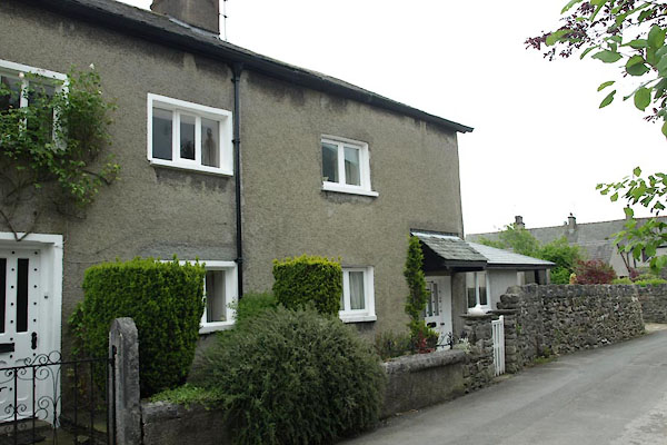 |
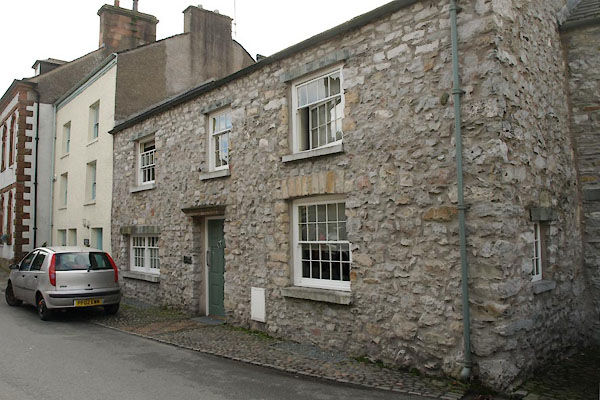
SD38097866 Barn Garth Cottage (Lower Allithwaite) L |
 |
SD37907876 Bluebell House (Lower Allithwaite) L |
 |
SD37847885 Brook House (Lower Allithwaite) L |
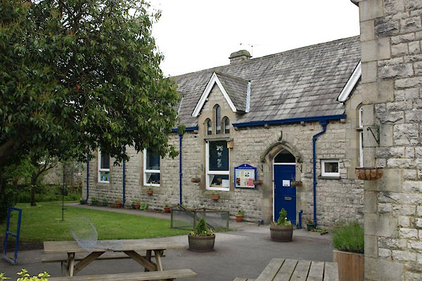 |
SD38157871 Cartmel CofE Primary School, Cartmel (Lower Allithwaite) |
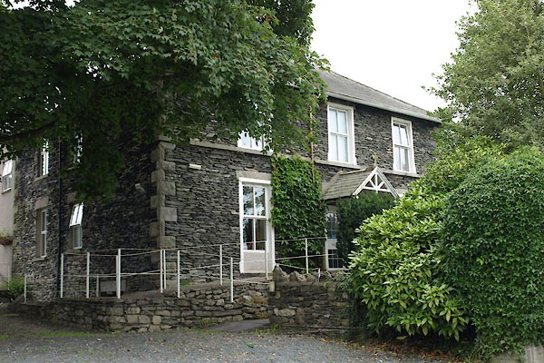 |
SD37777928 Cartmel Grammar School (Lower Allithwaite) L |
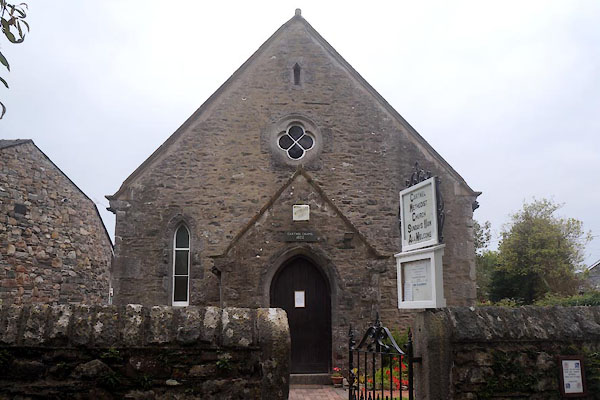 |
SD37897872 Cartmel Methodist Church (Lower Allithwaite) |
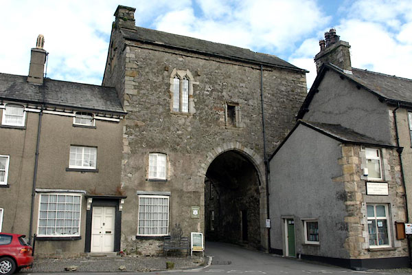 |
SD37827879 Cartmel Priory Gatehouse (Lower Allithwaite) L |
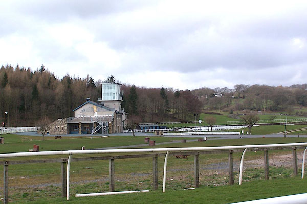 |
SD376790 Cartmel Race Course (Lower Allithwaite) |
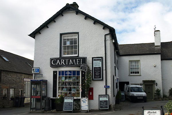 |
SD37797877 Cartmel Village Shop (Lower Allithwaite) L |
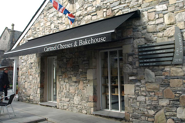 |
SD37927873 Cartmel Cheeses and Bakehouse (Lower Allithwaite) |
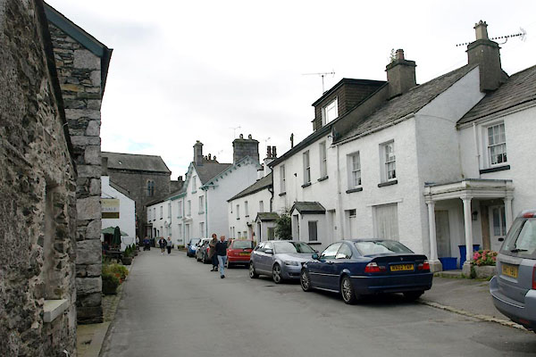 |
SD37847883 Cavendish Street (Lower Allithwaite) |
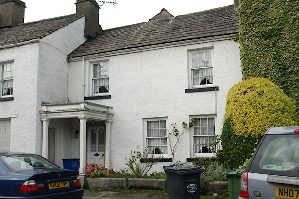 |
SD37847884 Cartmel: Cavendish Street, 21 (Lower Allithwaite) L |
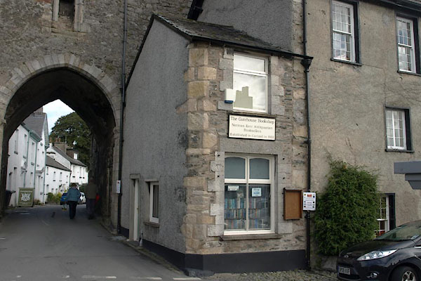 |
SD37827877 Gatehouse Bookshop (Lower Allithwaite) L |
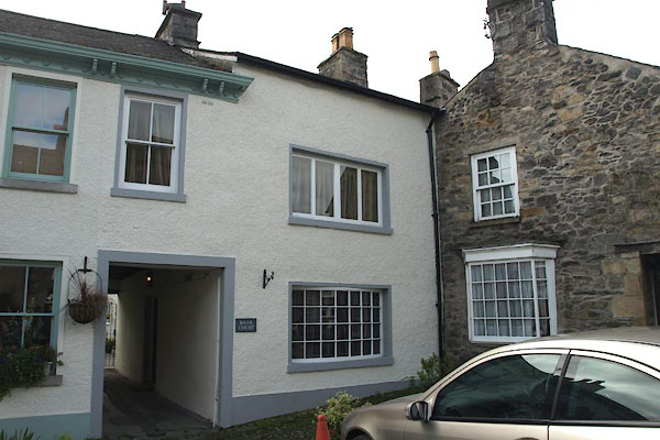 |
SD37827875 Martins Bank (Lower Allithwaite) L |
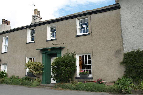 |
SD37807885 Cartmel: Park View, 5 (Lower Allithwaite) L |
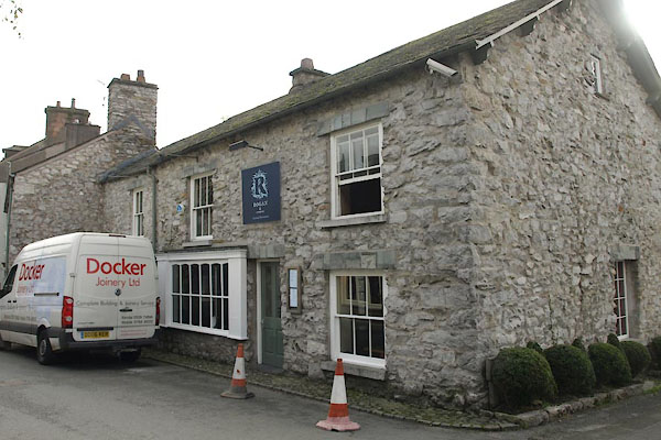 |
SD37897875 Rogan and Co (Lower Allithwaite) L |
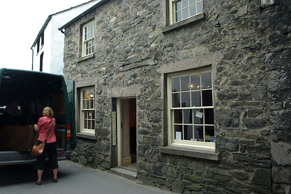 |
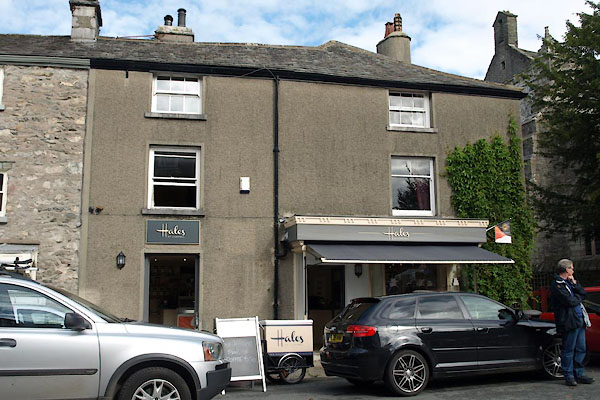
SD37847881 Simon Starkie Antiques (Lower Allithwaite) |
 |
SD37927878 Priory Shoppe, Ye (Lower Allithwaite) L |
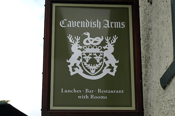 |
SD37847882 Cavendish Arms (Lower Allithwaite) L |
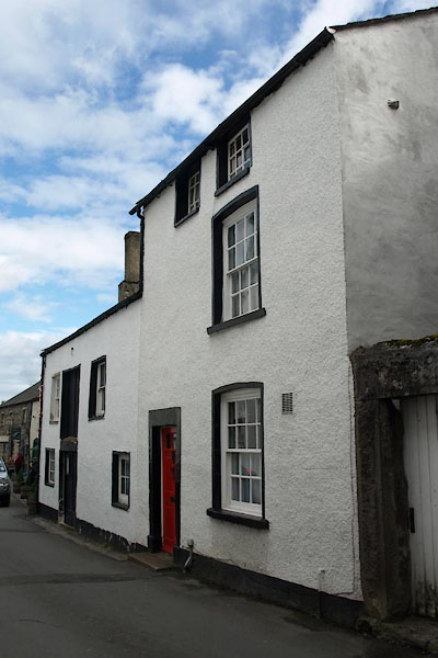 |
SD37837880 Cavendish Cottage (Lower Allithwaite) L |
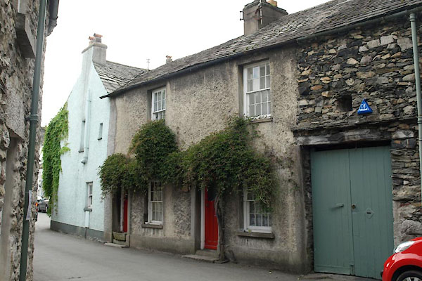 |
SD37877887 Chestnut Cottage (Lower Allithwaite) |
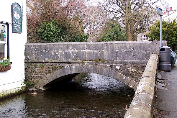 |
SD37897877 Church Bridge (Lower Allithwaite) L |
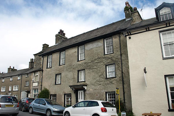 |
SD37837878 Church Town House (Lower Allithwaite) L |
 |
SD37937855 Cornbrook (Lower Allithwaite) |
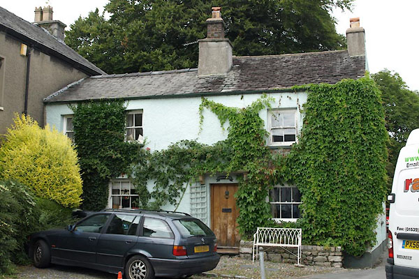 |
SD37867887 Tower View (Lower Allithwaite) L |
 |
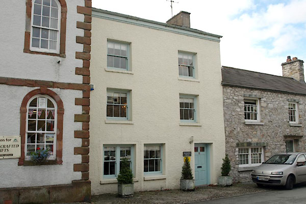
SD37927881 Corner House, The (Lower Allithwaite) L out of sight |
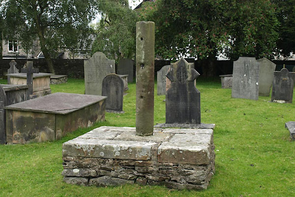 |
SD37977875 cross, Cartmel (Lower Allithwaite) |
 |
SD37917876 Devonshire House (Lower Allithwaite) L |
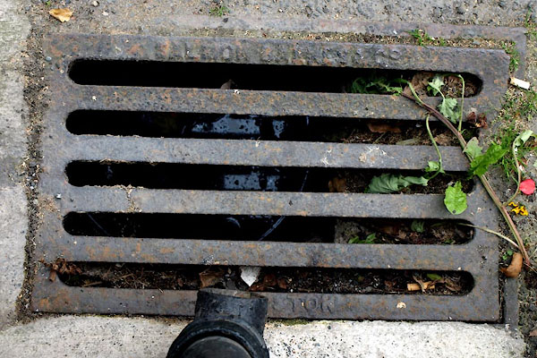 |
SD37847881 drain, Cartmel (Lower Allithwaite) |
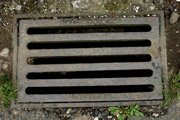 |
SD38107876 drain, Cartmel (2) (Lower Allithwaite) |
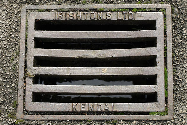 |
SD37937878 drain, Cartmel (3) (Lower Allithwaite) |
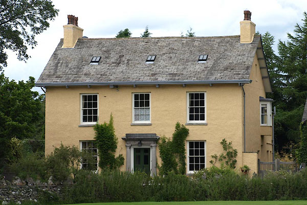 |
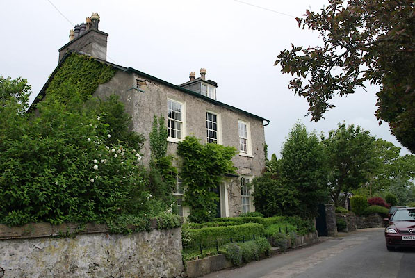
SD37877897 Fairfield (Lower Allithwaite) L |
 |
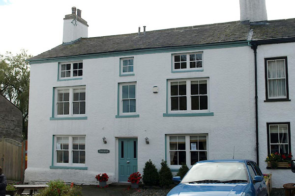
SD38087878 Field Beck (Lower Allithwaite) L |
 |
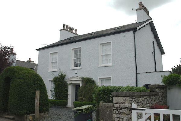
SD37857874 Ford House (Lower Allithwaite) L |
 |
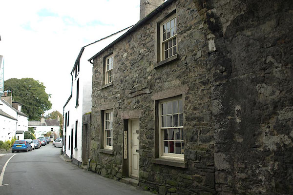
SD38087871 Garth House (Lower Allithwaite) L |
 |
SD37837879 Gatehouse Cottage (Lower Allithwaite) L |
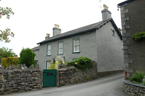 |
SD38107883 Greencroft (Lower Allithwaite) L |
 |
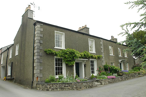
SD382789 Greenfield House (Lower Allithwaite) |
 |
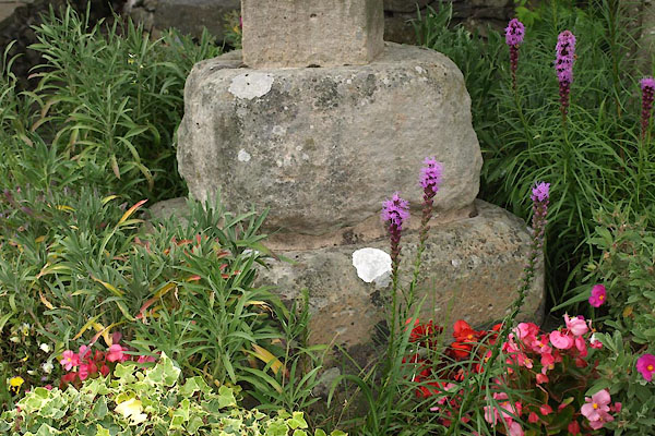
SD38107881 Hazeldene (Lower Allithwaite) L |
 |
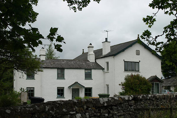
SD379783 Headless Cross (Lower Allithwaite) L |
 |
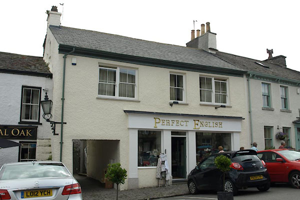
SD37717935 house, Cartmel (Lower Allithwaite) |
 |
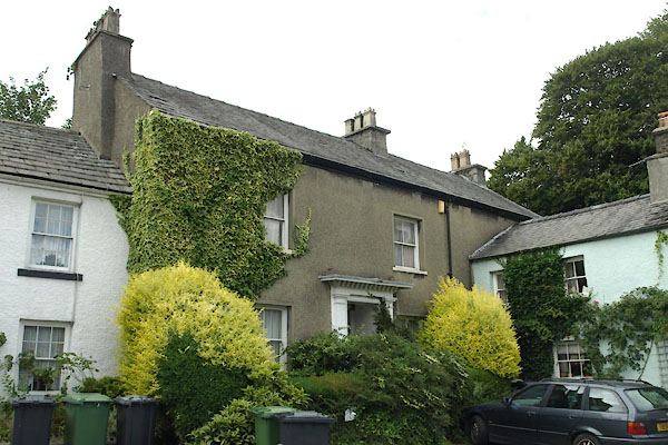
SD37847875 house, Cartmel (2) (Lower Allithwaite) L |
 |
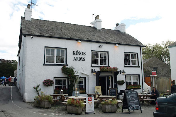
SD37847886 house, Cartmel (3) (Lower Allithwaite) |
 |
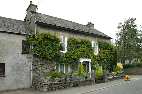
SD37877876 Kings Arms (Lower Allithwaite) L |
 |
SD38147869 Kirstead (Lower Allithwaite) L |
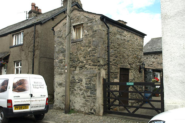 |
SD37797881 lockup, Cartmel (Lower Allithwaite) L |
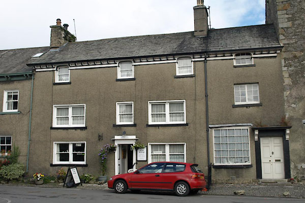 |
SD37817879 Market Cross Cottage (Lower Allithwaite) L |
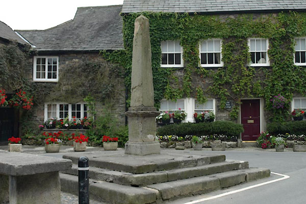 |
SD37817877 market cross, Cartmel (Lower Allithwaite) L |
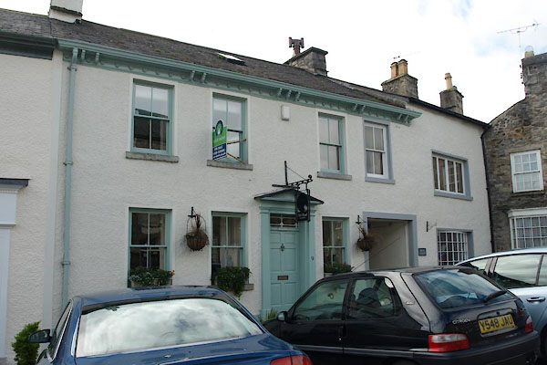 |
SD37837875 Old Bank House (Lower Allithwaite) L |
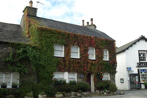 |
SD37807876 Old Barn Cottage (Lower Allithwaite) L |
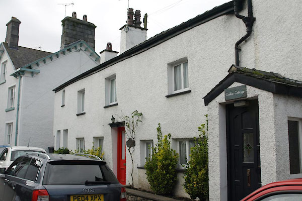 |
SD37847882 Old Eating House (Lower Allithwaite) |
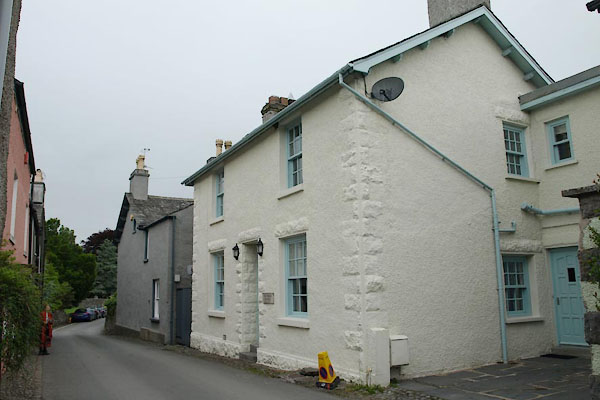 |
SD38117881 Old Police Station (Lower Allithwaite) |
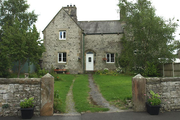 |
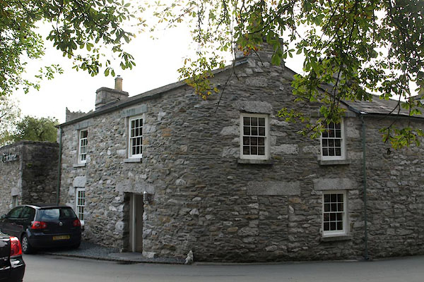
SD38127872 Old School House (Lower Allithwaite) |
 |
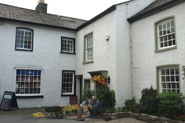
SD37877887 Old Smithy, The (Lower Allithwaite) L |
 |
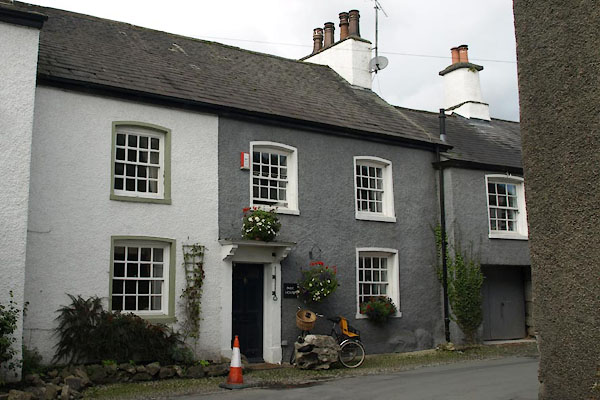
SD37797878 Park Beck Cottage (Lower Allithwaite) L |
 |
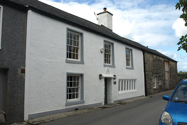
SD37787879 Park House (Lower Allithwaite) L |
 |
SD37787881 Parkside House (Lower Allithwaite) L |
 |
SD37857868 Penny Bridge (Lower Allithwaite) |
 |
SD38067883 Pepper Bridge (Lower Allithwaite) |
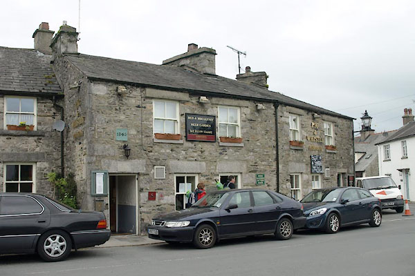 |
SD38127860 Pig and Whistle, Cartmel (Lower Allithwaite) |
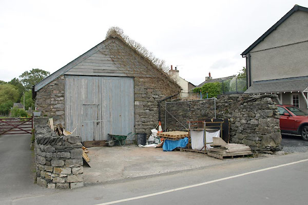 |
SD38057866 pinfold, Cartmel (Lower Allithwaite) |
 |
SD385788 Pit Farm (Lower Allithwaite) |
 |
SD38307858 police station, Cartmel (Lower Allithwaite) |
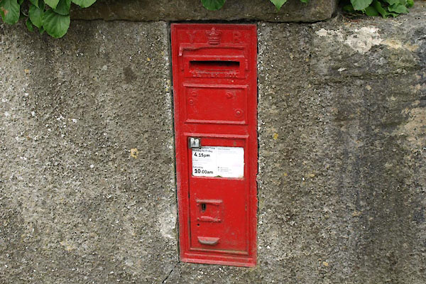 |
SD38107869 post box, Cartmel (Lower Allithwaite) |
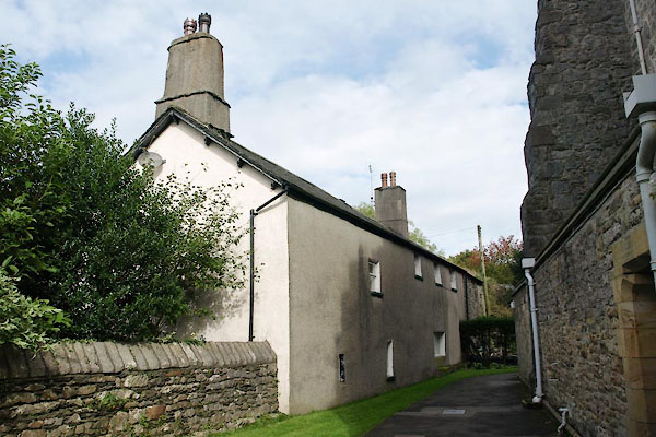 |
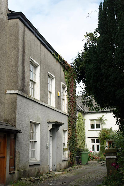
SD37947881 Priory Close Cottage (Lower Allithwaite) L |
 |
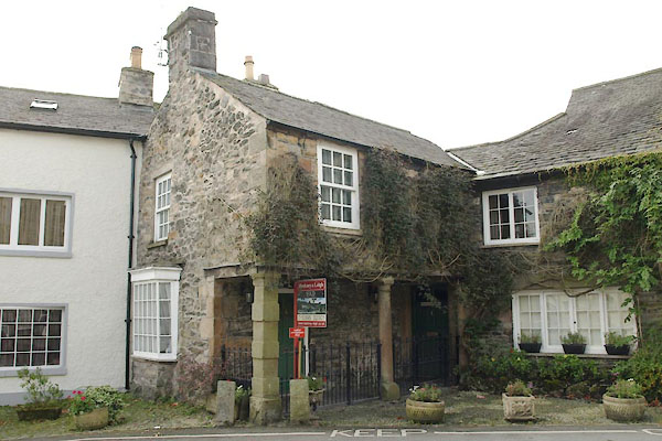
SD37927879 Priory Close House (Lower Allithwaite) L |
 |
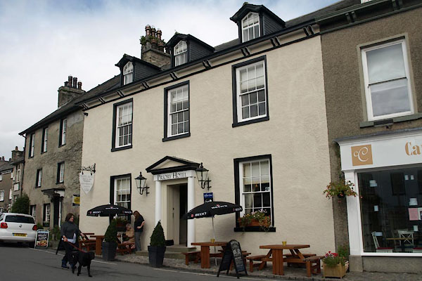
SD37817876 Priory Guesthouse (Lower Allithwaite) L |
 |
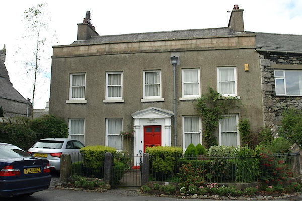
SD37857878 Priory Hotel (Lower Allithwaite) L |
 |
SD37967883 Priory House (Lower Allithwaite) L |
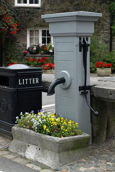 |
SD37817877 pump, Cartmel (Lower Allithwaite) L |
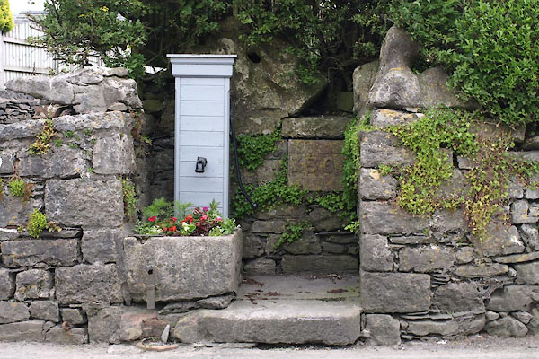 |
SD38147862 pump, Cartmel (2) (Lower Allithwaite) L |
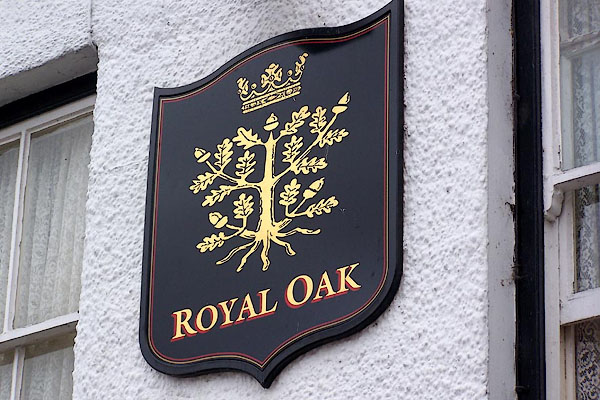 |
SD37857875 Royal Oak (Lower Allithwaite) L |
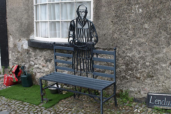 |
SD37817877 seat, Cartmel (Lower Allithwaite) |
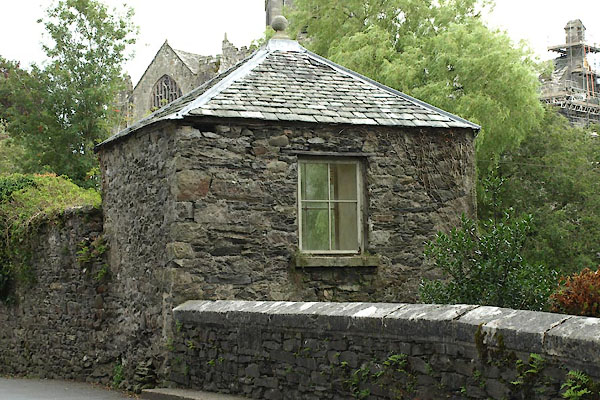 |
SD37917887 summer house, Cartmel (Lower Allithwaite) L |
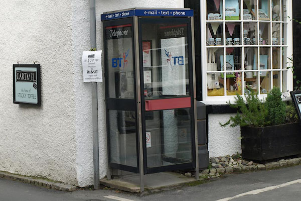 |
SD37807877 telephone box, Cartmel (Lower Allithwaite) L |
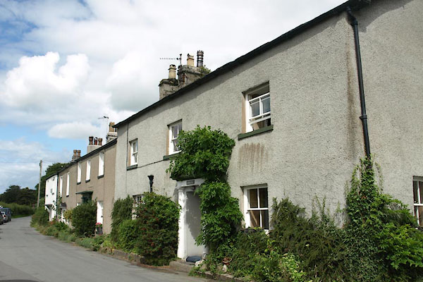 |
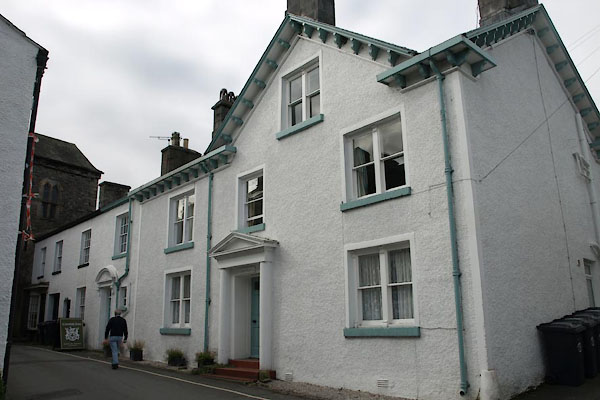
SD37807884 Thimble Hill (Lower Allithwaite) L |
 |
SD37837880 Tower House (Lower Allithwaite) |
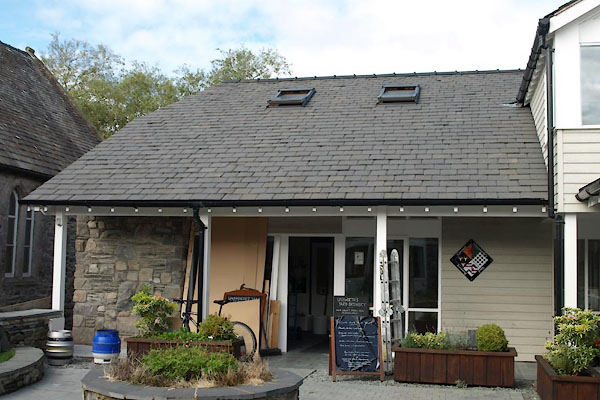 |
SD37917872 Unsworth's Yard Brewery (Lower Allithwaite) |
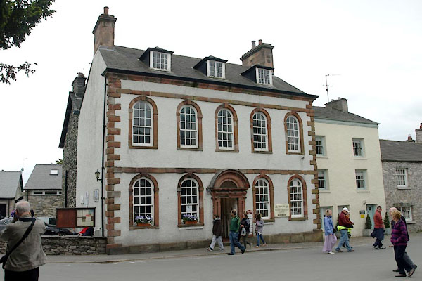 |
SD37927875 Village Institute, Cartmel (Lower Allithwaite) L |
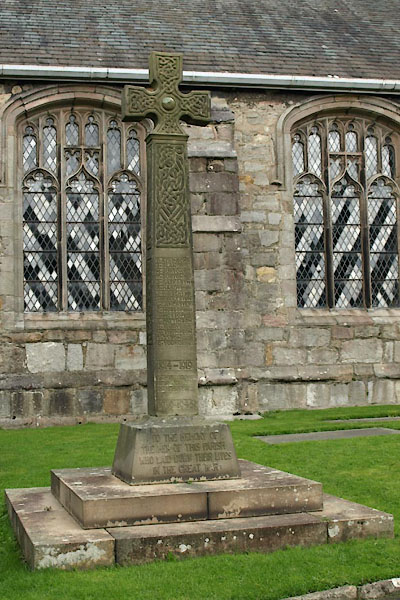 |
SD37957878 war memorial, Cartmel (Lower Allithwaite) |
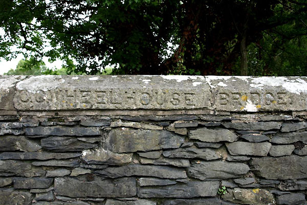 |
SD37917888 Wheelhouse Bridge (Lower Allithwaite) |
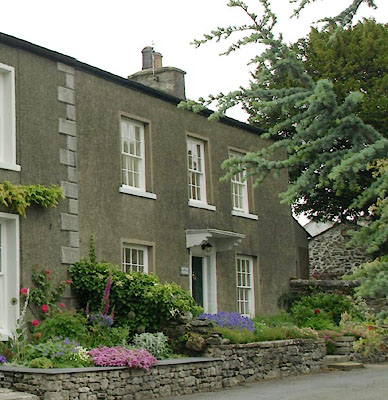 |
SD38097880 Yew Tree Cottage (Lower Allithwaite) L |
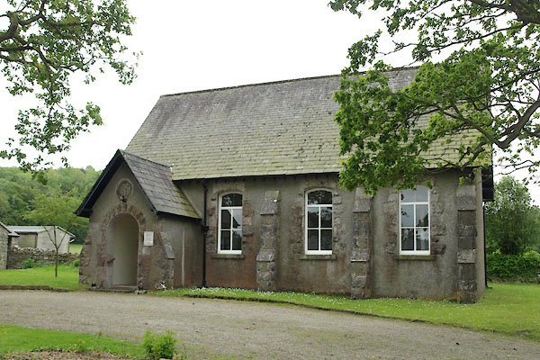 |
SD383786 Cartmel Meeting House (Lower Allithwaite) |
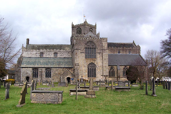 |
SD37967879 Cartmel Priory (Lower Allithwaite) L |
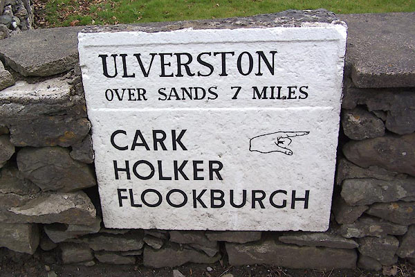 |
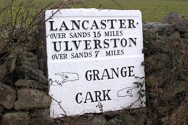
SD37997836 milestone, Cartmel (2) (Lower Allithwaite) L |
 |
SD37977865 milestone, Cartmel (Lower Allithwaite) L |
