 Old Cumbria Gazetteer
 |
 |
|
| Wheelhouse Bridge, Cartmel | ||
| Wheelhouse Bridge | ||
| locality:- | Cartmel | |
| civil parish:- | Lower Allithwaite (formerly Lancashire) | |
| county:- | Cumbria | |
| locality type:- | bridge | |
| coordinates:- | SD37917888 | |
| 1Km square:- | SD3778 | |
| 10Km square:- | SD37 | |
|
|
||
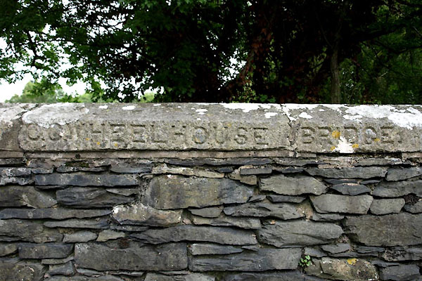 BTG35.jpg "C.C. WHEELHOUSE BRIDGE." (taken 30.7.2010) 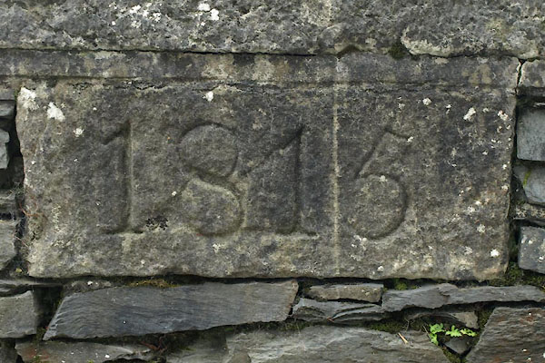 BTG36.jpg "1815" (taken 30.7.2010) |
||
|
|
||
| evidence:- | old map:- OS County Series (Lan 17 3) placename:- Wheelhouse Bridge |
|
| source data:- | Maps, County Series maps of Great Britain, scales 6 and 25
inches to 1 mile, published by the Ordnance Survey, Southampton,
Hampshire, from about 1863 to 1948. |
|
|
|
||
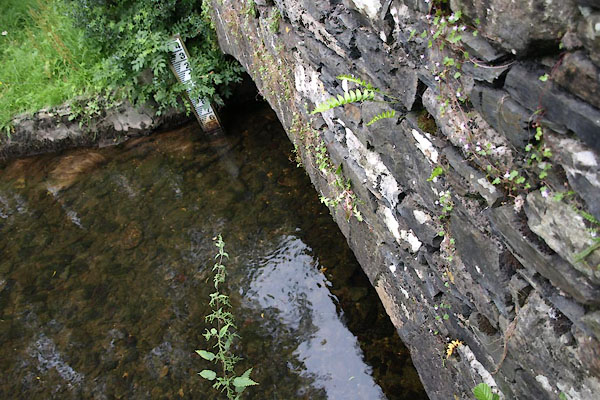 BTG34.jpg (taken 30.7.2010) |
||
|
|
||
 Lakes Guides menu.