


 road, Carlisle to Edinburgh
placename:-
 click to enlarge
BD10.jpg
""
item:- JandMN : 115
Image © see bottom of page
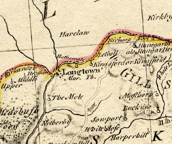
BO18NY47.jpg
double line, dotted
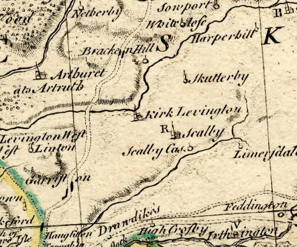
BO18NY46.jpg
double line, dotted
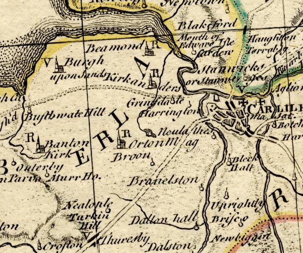
BO18NY35.jpg
double line, dotted
item:- Armitt Library : 2008.14.10
Image © see bottom of page
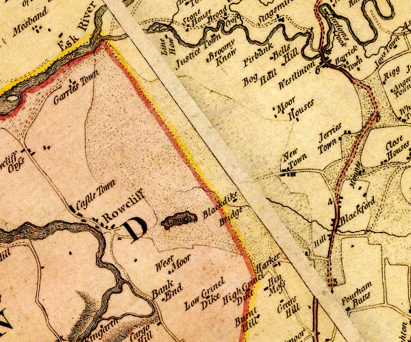
double line, solid or dotted, with a dot or milestone and number at 1 mile intervals, tinted red; turnpike road
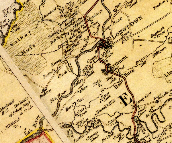
D4NY36NE.jpg
D4NY36SE.jpg
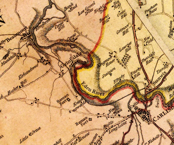
D4NY35NE.jpg
from Scots Gate and over the Eden
item:- Carlisle Library : Map 2
Images © Carlisle Library
 click to enlarge
CY47.jpg
double line, with road distances from Carlisle
item:- JandMN : 419
Image © see bottom of page
 goto source
 click to enlarge
C38267.jpg
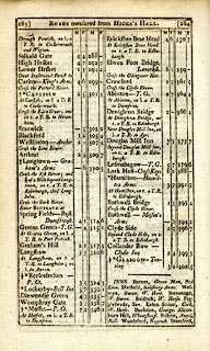
page 267-268 "Cross the Esk River; and 1¼of a Mile further, on r. a T.R. to Edin[burgh, through Longholm."
 goto source
 click to enlarge
C38283.jpg
page 283-284 "Cross the Esk River; and a ¼of a Mile beyond Longtown, on r. a T.R. to Edinburgh, thro' Longholm"
 goto source
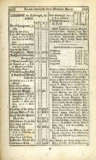 click to enlarge
C38337.jpg
page 337-338 "LONDON to Edinburgh, by Selkirk."
part of
item:- JandMN : 228.1
Image © see bottom of page
 click to enlarge
GRA1Cd.jpg
double line, feathered edges; post road?
item:- Hampshire Museums : FA2000.62.2
Image © see bottom of page
 click to enlarge
Lw21.jpg
double line, light bold; 'Mail-Coach Roads (Direct)'
item:- private collection : 18.21
Image © see bottom of page
 click to enlarge
COP3.jpg
double line; road
item:- JandMN : 86
Image © see bottom of page
 click to enlarge
WL13.jpg
double line, hatched; 'Mail Coach Road'
item:- Dove Cottage : 2009.81.10
Image © see bottom of page
item:- Hints for a Tour in Scotland
 goto source
Gentleman's Magazine 1812 part 2 p.6 "Hints for a Tour in SCOTLAND; in an Original Letter from the Hon. DAINES BARRINGTON to a Friend (probably Mr. PENNANT.)"
"July 17, 1771."
"DEAR SIR,"
"..."
"From Carlisle there is a new turnpike quite to Edinburgh, with regular stages, and very decent accomodations."
"I don't recollect any thing worth mentioning on this road, except that when you come to Selkirk you should inquire for Melrose Abbey.- I would advise you to lye there, as the house is a very decent one. It is not above 5 or 6 miles out of the road to Edinburgh."
"... ..."
 click to enlarge
HA14.jpg
double line, solid; main road; Carlisle, Blockford, Longtown
item:- JandMN : 91
Image © see bottom of page
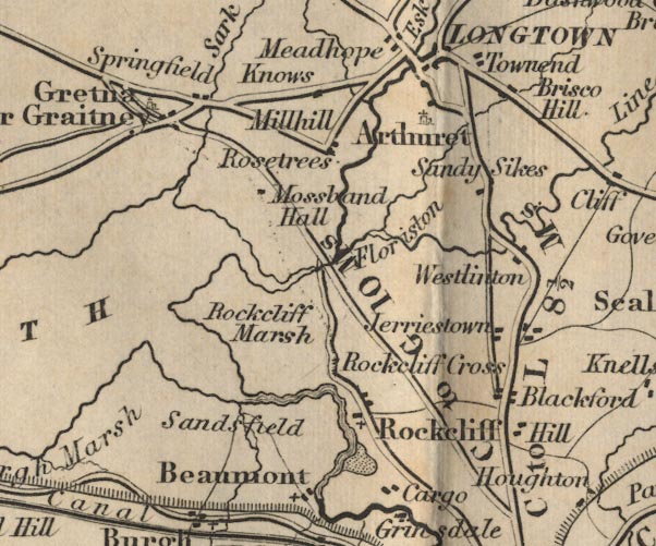
FD02NY36.jpg
"C to L 8½Ms."
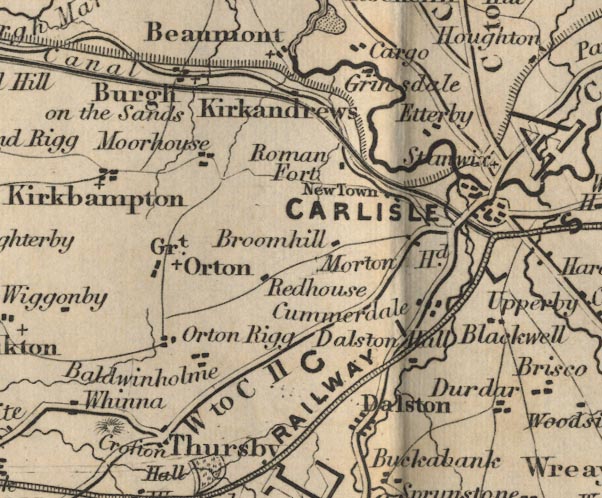
FD02NY35.jpg
Distance from Carlisle to Longtown.
item:- JandMN : 100.1
Image © see bottom of page
 click to enlarge
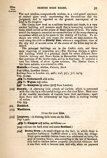
TLY139.jpg
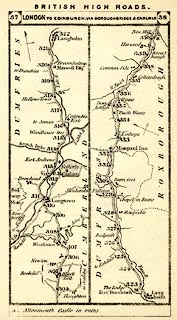
pp.36-49 in British High Roads, North and North Eastern Routes; pp.37-39.
printed at p.36:- "... / ROUTE III. - LONDON to EDINBURGH and GLASGOW via / BOROUGHBRIDGE and CARLISLE (See Maps 31 to 42.) / Boroughbridge 206 (as per Route I.), Leeming 221½, Catterick 228, Greta Bridge 242½, Bowes 248½, Brough 261½, Appleby 269¾, / Penrith 283½, Carlisle 301½, Longtown 310¼, Langholm 321¾, / Hawick 349½, Selkirk 356, Middleton 379½, Edinburgh 392½. / ..."
item:- private collection : 270.1
Image © see bottom of page
 click to enlarge
TLY1M3.jpg
Map pp.37-38 in British High Roads, North and North Eastern Routes.
printed at top:- "BRITISH HIGH ROADS. / 37 LONDON TO EDINBURGH, VIA BOROUGHBRIDGE &CARLISLE. 38"
item:- private collection : 270.5
Image © see bottom of page
Page 154:- "..."
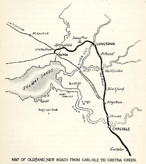
"The geography of Gretna and the Border is, so far as roads are concerned, somewhat involved, and requires careful explanation. Up to 1830, when the wide-spreading sands of the Esk were bridged, the way for coaches and all road traffic lay circuitously through Longtown to the right of where the fork of the roads now occurs [at Kingstown]; but in that year the New Road, or the "English Road," as it commonly was called, was opened, .."
HP01p155.txt
Page 155:- "..."
 click to enlarge
HP01M2.jpg
"MAP OF OLD AND NEW ROADS FROM CARLISLE TO GRETNA GREEN."
"..."
item:- JandMN : 1055.27
Image © see bottom of page
 click to enlarge
CTC282.jpg
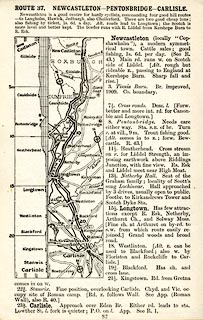
Strip road map, route 37, Newcastleton Pentonbridge Carlisle, scale roughly 5 miles to 1 inch.
Together with an itinerary and gradient diagram.
item:- JandMN : 491.82
Image © see bottom of page
 Act of Parliament
 Carlisle
 Blackford, Westlinton
 Westlinton Bridge, Westlinton
 Longtown
 |
NY39146550 milestone, Arthuret (5) (Arthuret) not found |
 |
NY39465943 milestone, Carlisle (4) (Carlisle) L |
 |
NY39885786 milestone, Carlisle (6) (Carlisle) |
 |
NY38236088 milestone, Rockcliffe (3) (Rockcliffe) |
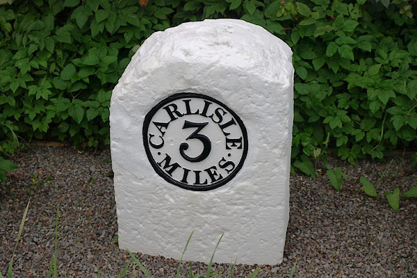 |
NY39606104 milestone, Rockcliffe (4) (Rockcliffe) L |
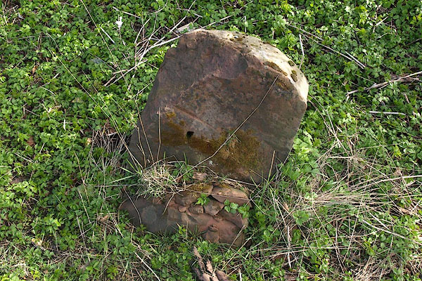 |
NY39646266 milestone, Westlinton (Westlinton) L |
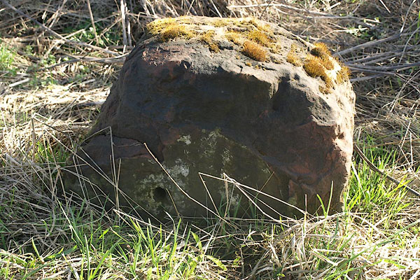 |
NY39376424 milestone, Westlinton (2) (Westlinton) L |
 |
NY39276583 Sandysike Turnpike (Arthuret) gone |
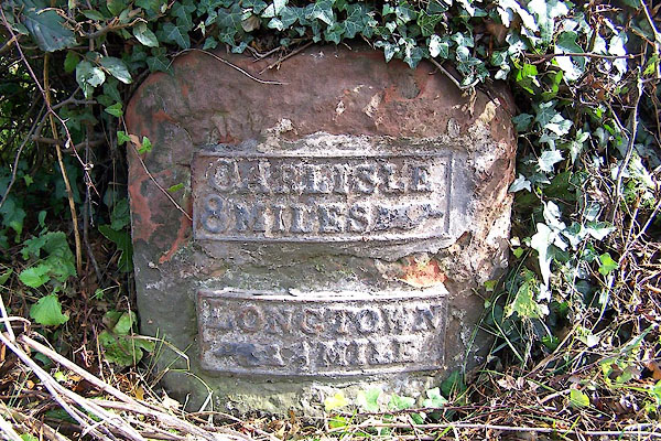 |
NY38066838 milestone, Arthuret (3) (Arthuret) L |
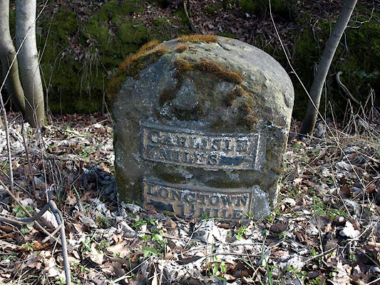 |
NY38886697 milestone, Arthuret (6) (Arthuret) L |
