


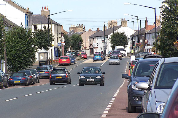
BMQ12.jpg (taken 15.9.2006)
placename:- Longtown
OS County Series (Cmd 10 2)
placename:- Longtowne
courtesy of the National Library of Scotland
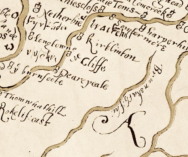
M048NY46.jpg
"Longtowne"
circle, tower
item:- National Library of Scotland : MS6113 f.267
Image © National Library of Scotland
placename:- Longtown
 click to enlarge
MRD3Cm.jpg
"Longtown"
circle; village or town
item:- JandMN : 339
Image © see bottom of page
placename:- Long Town
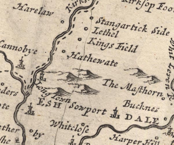
MD12NY47.jpg
"Long Town"
Circle, building and tower.
item:- JandMN : 90
Image © see bottom of page
placename:- Long Town
 click to enlarge
BD10.jpg
"Long Town"
circle, tower/s, upright lowercase text; town
item:- JandMN : 115
Image © see bottom of page
item:- rebellion, 1745; 1745 Rebellion
 goto source
Gentleman's Magazine 1745 p.603 "... ..."
"... On Friday the 8th they march'd, part of the cavalry to Longholm, and infansry (sic) to Cannoby, on the Scotch side, and the rest of the cavalry cross'd the river and lay at Longtown, ..."
placename:- Logtown
 goto source
"Longtown, near where the Eske and Kirksop Rivers meet: It is a small Town, the Market of which is kept on Thursdays; and it is 234 Miles computed, and 315 measured from London."
placename:- Long Town
 click to enlarge
JL05.jpg
"Long Town"
view (sort of)
item:- Carlisle Library : 4.2
Image © Carlisle Library
placename:- Longtown
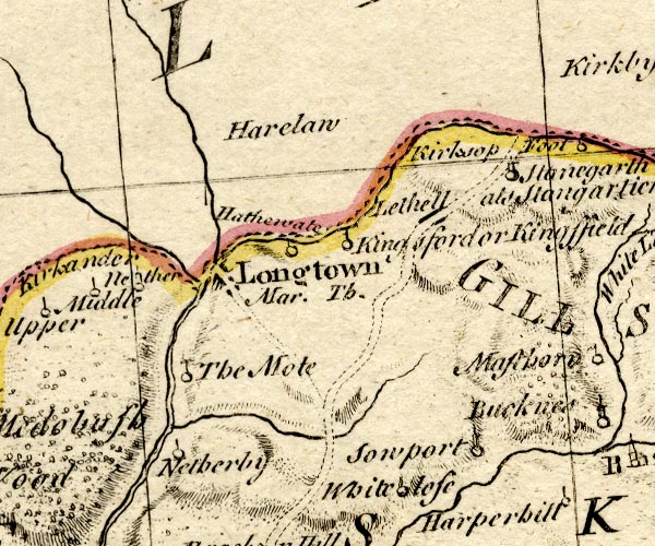
BO18NY47.jpg
"Longtown / Mar. Th."
blocks, on road, town, market
item:- Armitt Library : 2008.14.10
Image © see bottom of page
placename:- Longtown
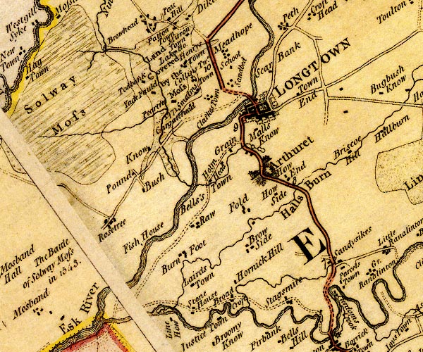
D4NY36NE.jpg
"LONGTOWN"
blocks, perhaps a church, labelled in block caps; a town with street plan and garden plots
item:- Carlisle Library : Map 2
Image © Carlisle Library
placename:- Longtown
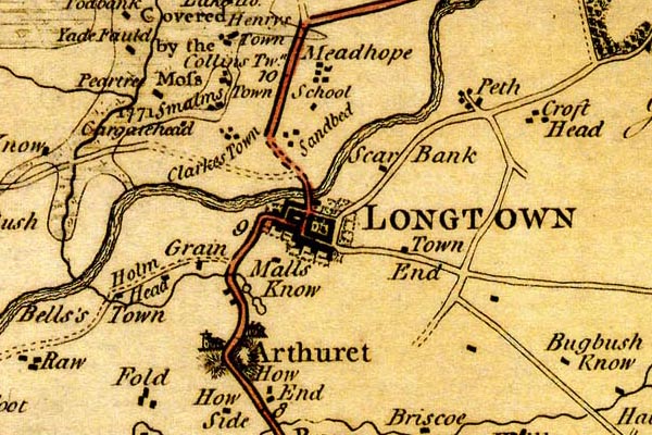
DN04Lngt.jpg
"LONGTOWN"
Labelled in block caps for a market town; street map; the church at Arthuret.
item:- Carlisle Library : Map 2
Image © Carlisle Library
placename:- Longtown

D4NY36NE.jpg
"LONGTOWN"
blocks, perhaps a church, labelled in block caps; a town with street plan and garden plots
item:- Carlisle Library : Map 2
Image © Carlisle Library
placename:- Longtown

DN04Lngt.jpg
"LONGTOWN"
Labelled in block caps for a market town; street map; the church at Arthuret.
item:- Carlisle Library : Map 2
Image © Carlisle Library
placename:- Longtown
 click to enlarge
AIK3.jpg
"Longtown"
circle; town
item:- JandMN : 145
Image © see bottom of page
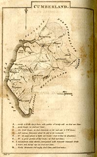
placename:- Longtown
 click to enlarge
BY04.jpg
"Longtown"
group of blocks; town
item:- Armitt Library : A680.2
Image © see bottom of page
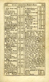
placename:- Longtown
 goto source
 click to enlarge
C38267.jpg
page 267-268 "Longtown - Graham's Arms"
market town
 goto source
 click to enlarge
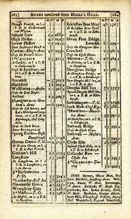
C38269.jpg
page 269-270 "INNS. ... Longtown, Graham's Arms. ..."
 goto source
 click to enlarge
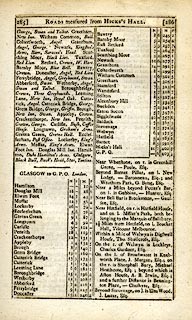
C38283.jpg
page 283-284 "Longtown - Graham's Arms"
post office
 goto source
 click to enlarge
C38285.jpg
page 285-286 "INNS. Longtown, Graham's Arms. ..."
 goto source
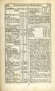 click to enlarge
C38337.jpg
page 337-338 "To Longtown, p.283"
market town, post office
item:- JandMN : 228.1
Image © see bottom of page
placename:- Longtown
 click to enlarge
GRA1Cd.jpg
"Longtown / 308"
blocks, upright lowercase text; town, distance from London
item:- Hampshire Museums : FA2000.62.2
Image © see bottom of page
placename:- Longtown
 click to enlarge
Lw21.jpg
"Longtown 310¼"
market town; distance from London; travellers supplied with post horses or carriages
item:- private collection : 18.21
Image © see bottom of page
placename:- Longtown
item:- population; market; fair
 goto source
"..."
"LONGTOWN, a township in the parish of Arthuret, Eskdale ward, Cumberland, 7 miles from Carlisle, and 310 from London; it contains 176 houses and 1335 inhabitants, of whom 648 were employed in various trades and manufactures. Longtown lies on the borders of Scotland, near the conflux of the Esk and Liddel. It has a good charity school, with a market on Thursday. Fairs Thursday after Whitsunday, Thursday after Martinmas, and 22d of November. At the north end of the town is a good stone bridge over the river Esk. The houses are built in the modern stile, and the streets are regular and spacious. It is the property of sir James Graham. - Housman's Tour in Cumberland."
"..."
placename:- Longtown
 click to enlarge
COP3.jpg
"Longtown"
circle; village or hamlet
item:- JandMN : 86
Image © see bottom of page
placename:- Longtown
 click to enlarge
WL13.jpg
"Longtown"
town
item:- Dove Cottage : 2009.81.10
Image © see bottom of page
placename:- Longton
item:- rebellion, 1745; 1745 Rebellion
 goto source
Gentleman's Magazine 1819 part 1 p.506
From the Compendium of County History:- "1745. Near Longton, Nov. 8, advanced guard of Prince Charles Stuart's army entered Cumberland. ..."
placename:- Longtown
 click to enlarge
HA14.jpg
"Longtown / 319"
circle, upright lowercase text; town; distance from London
item:- JandMN : 91
Image © see bottom of page
placename:- Long Town
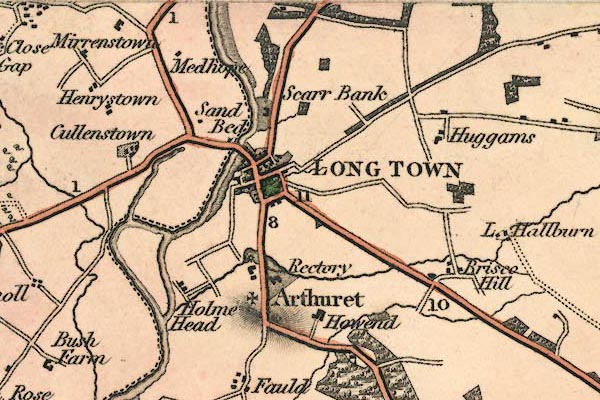
gw12lngt.jpg
"LONG TOWN"
street map; labelled in block caps for a market town; the church is at Arthuret.
item:- National Library of Scotland : EME.b.3.11
Image © National Library of Scotland
placename:- Longtown
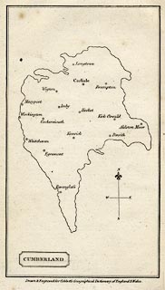 click to enlarge
COB5.jpg
"Longtown"
dot and circle; town
item:- JandMN : 117
Image © see bottom of page
placename:- Longtown
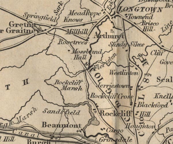
FD02NY36.jpg
"Longtown"
item:- JandMN : 100.1
Image © see bottom of page
placename:- Longtown
 click to enlarge
TLY1M3.jpg
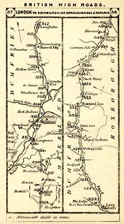
Map pp.37-38 in British High Roads, North and North Eastern Routes.
printed at top:- "BRITISH HIGH ROADS. / 37 LONDON TO EDINBURGH, VIA BOROUGHBRIDGE &CARLISLE. 38"
item:- private collection : 270.5
Image © see bottom of page
placename:- Longtown
HP01p157.txt
Page 157:- "..."
"There are no architectural graces in Longtown. Each house is like its fellow and every street resembles every other street. How then do the strayed revellers, returning home "fou," find the way to their respective domiciles? An attempt to subdue the stark angularity of Longtown, though not to give its streets variety, is seen in the somewhat recent planting of the road with trees."
"Many people suppose the river Esk at Longtown to be the division between England and Scotland. The supposition is reasonable enough, for the actual divisor, the Sark, four miles further on, approaching Springfield, is a very insignificant stream in appearance. The political and social significances of it were, however, of very serious import indeed."
placename:- Longtown
 click to enlarge
JS5097.jpg
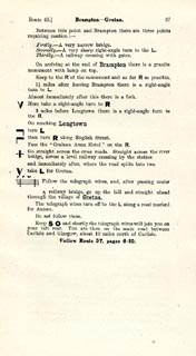
pp.93-97 in the road book, Roads Made Easy by Picture and Pen, vol.3.
printed at beginning, p.93:- "ROUTE 43. / DONCASTER via Boroughbridge (43½), Scotch Corner (72½), Barnard Castle (85½), Middleton-in-Teesdale (96½), Alston (118½), Longtown (148½), Gretna (155¼), to GLASGOW (240½)."
item:- private collection : 268.14
Image © see bottom of page
placename:- Longtown
 click to enlarge
JS5098.jpg
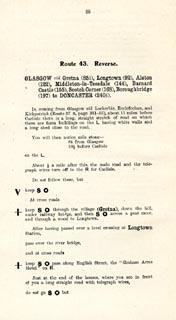
pp.98-106 in the road book, Roads Made Easy by Picture and Pen, vol.3.
printed at beginning, p.98:- "ROUTE 43. Reverse. / GLASGOW via Gretna (85¼), Longtown (92), Alston (122), Middleton-in-Teesdale (144), Barnard Castle (155), Scotch Corner (168), Boroughbridge (197) to DONCASTER 240½)."
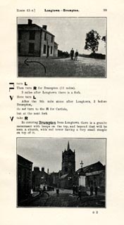 click to enlarge
JS5099.jpg
item:- private collection : 268.15
Image © see bottom of page
placename:- Arcwret
item:- market
 Post Office maps
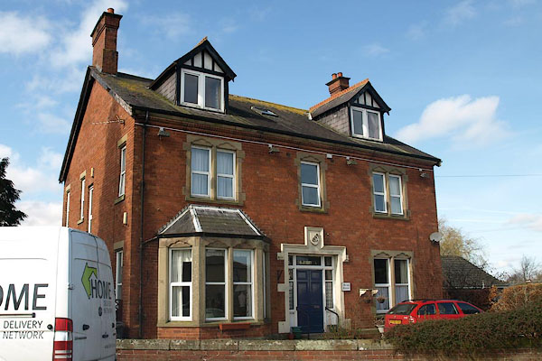 |
NY37986842 Arran House (Arthuret) |
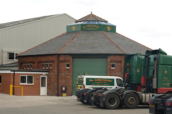 |
NY37606898 auction room, Longtown (Kirkandrews) |
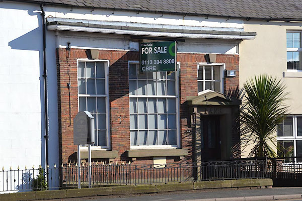 |
NY37876880 bank, Longtown (Arthuret) |
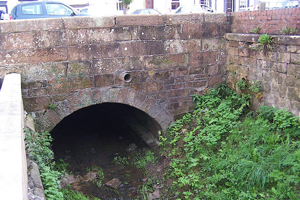 |
NY37956857 bridge, Longtown (Arthuret) |
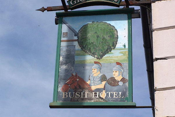 |
NY37916876 Bush Hotel (Arthuret) L |
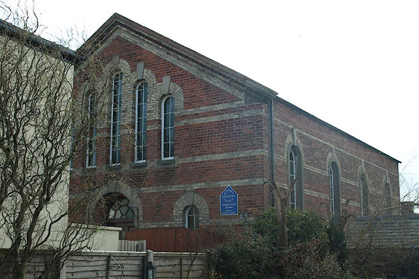 |
NY38066845 (Arthuret) |
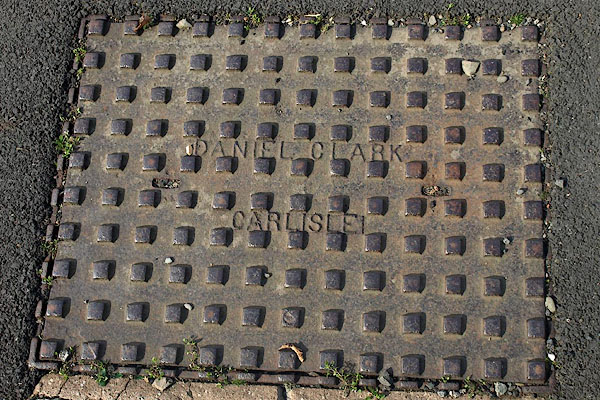 |
NY38126872 drain, Longtown (Arthuret) |
 |
NY37606925 Longtown Engine Shed (Arthuret) |
 |
NY38166866 gas works, Longtown (Arthuret) gone |
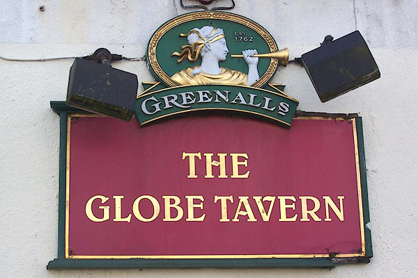 |
NY37896872 Globe Tavern (Arthuret) L |
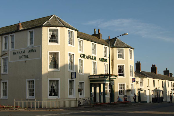 |
NY37926865 Graham Arms (Arthuret) L |
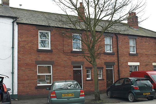 |
NY37956876 house, Longtown (Arthuret) |
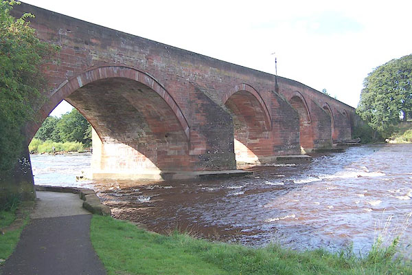 |
NY37756889 Longtown Bridge (Arthuret / Kirkandrews) L |
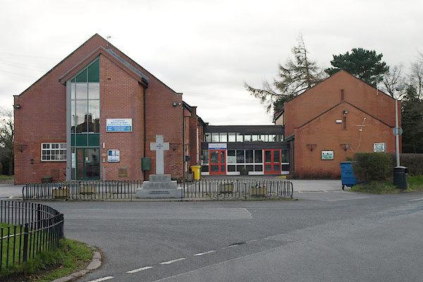 |
NY38036839 Longtown Community Hall (Arthuret) |
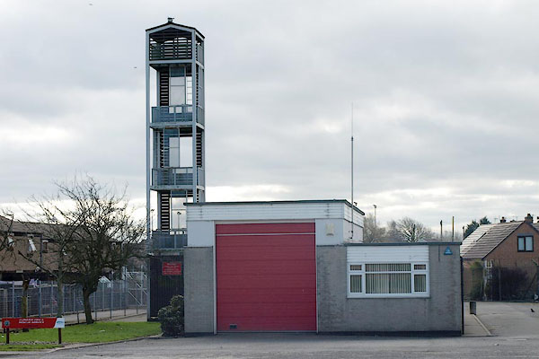 |
NY38276876 Longtown Fire Station (Arthuret) |
 |
NY377689 Longtown Fold (Kirkandrews) |
 |
NY37626891 Longtown Junction (Kirkandrews) |
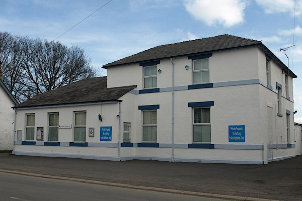 |
NY38036884 Longtown Police Station (Arthuret) |
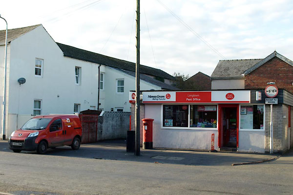 |
NY38016872 Longtown Post Office (Arthuret) |
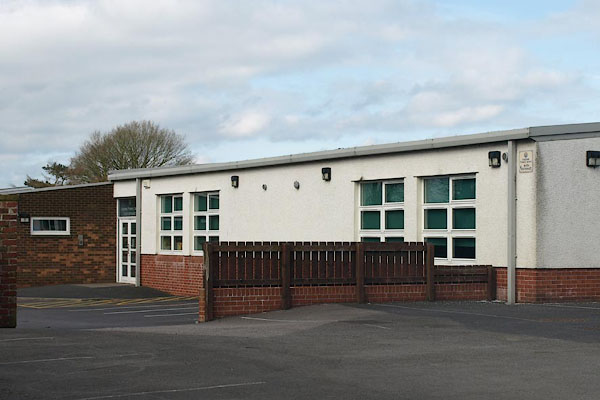 |
NY38286885 Longtown Primary School (Arthuret) |
 |
NY37626905 Longtown Station (Kirkandrews) |
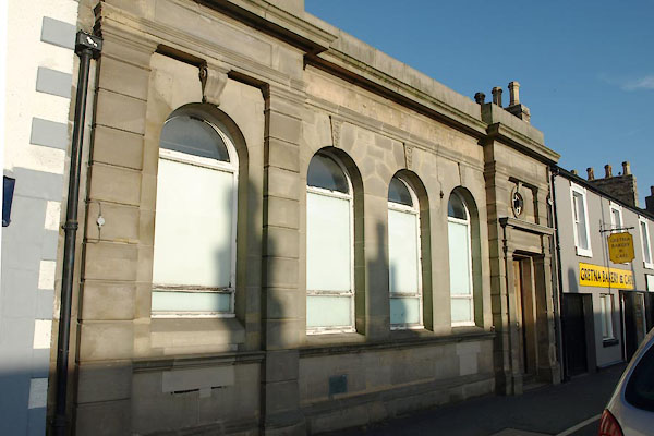 |
NY37936871 Longtown: bank (Arthuret) |
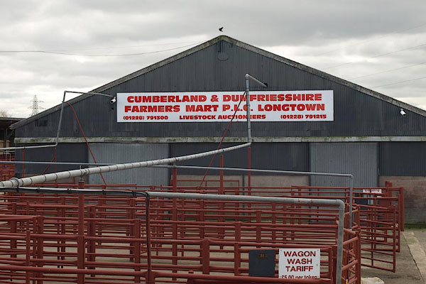 |
NY37626893 Cumberland and Dumfriesshire Farmers Mart (Arthuret) |
 |
NY38036878 Graham Street (Arthuret) |
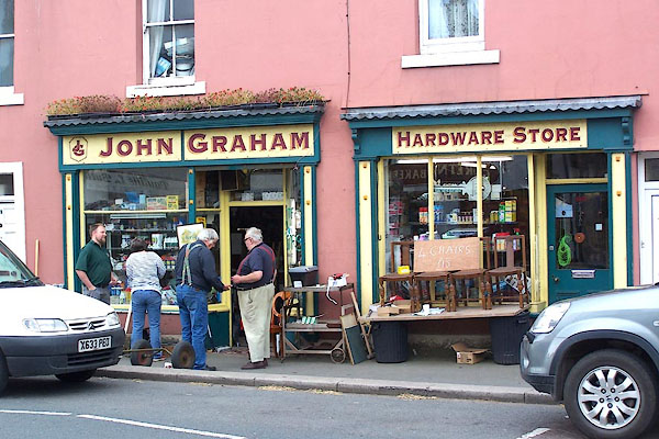 |
NY37916870 John Graham Hardware Store (Arthuret) |
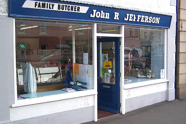 |
NY37926872 John R Jefferson Family Butcher (Arthuret) |
 |
NY38576917 Lovers Lane (Arthuret) |
 |
NY38226877 Mary Street (Arthuret) |
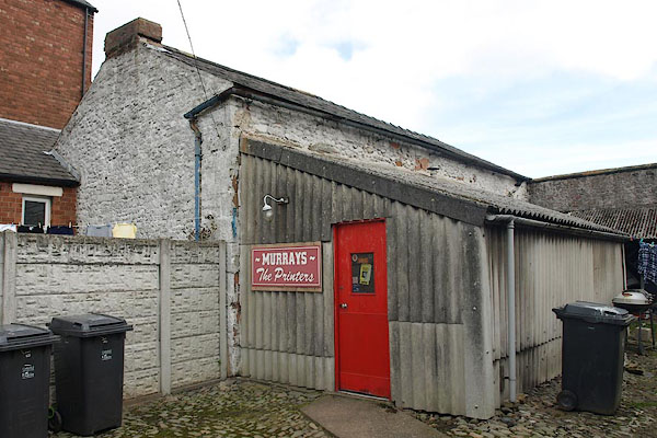 |
NY38046873 Murrays the Printers (Arthuret) |
 |
NY38116840 Malls Know (Arthuret) once |
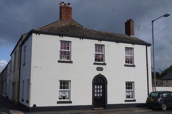 |
NY38026849 Mechanics' Hall (Arthuret) |
 |
NY38226853 mill, Longtown (Arthuret) gone? |
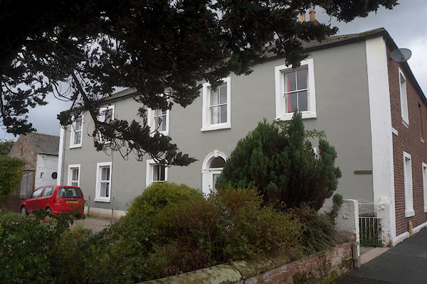 |
NY37986848 Nook House (Arthuret) L |
 |
NY374689 pillbox, Longtown (Kirkandrews) |
 |
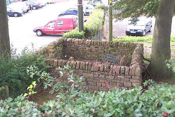
NY37686894 pinfold, Longtown (Kirkandrews) gone |
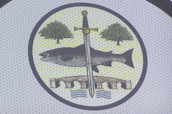 |
NY375689 placename sign, Longtown (Kirkandrews) |
 |
NY37666872 railway viaduct, Longtown (Arthuret) gone |
 |
NY39246882 Longtown School (Arthuret) |
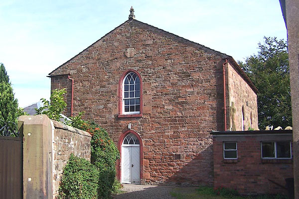 |
NY37876885 St Andrew's Church (Arthuret) L |
 |
NY38166853 toll gate, Longtown (Arthuret) gone |
 |
NY38536855 Townend (Arthuret) |
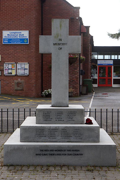 |
NY38016841 war memorial, Longtown (Arthuret) |
 |
NY37966859 Longtown Little Bridge (Arthuret) |
 |
NY38036907 Powdrake Bridge (Arthuret) |
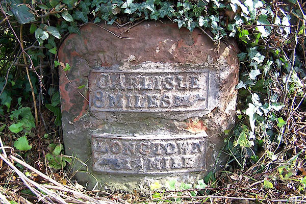 |
NY38066838 milestone, Arthuret (3) (Arthuret) L |
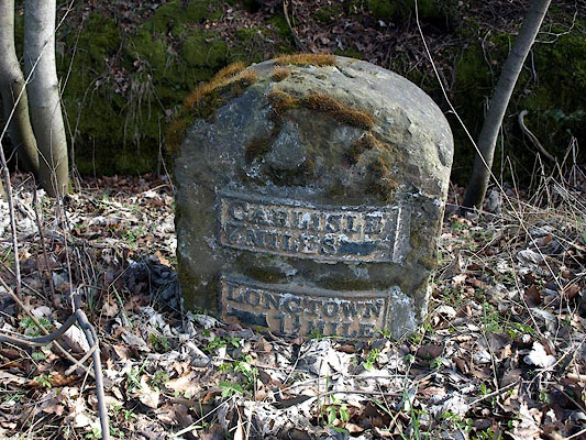 |
NY38886697 milestone, Arthuret (6) (Arthuret) L |
