


 road, Carlisle to Edinburgh
placename:-
 click to enlarge
BD10.jpg
""
item:- JandMN : 115
Image © see bottom of page
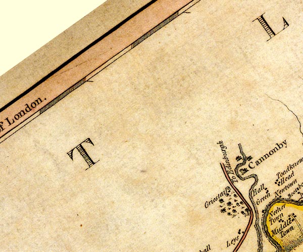
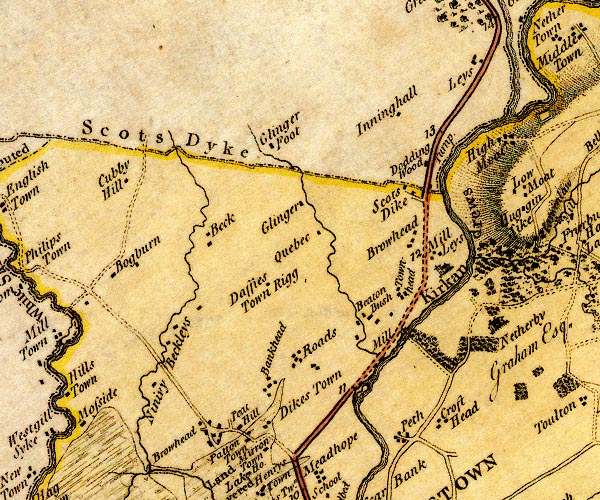
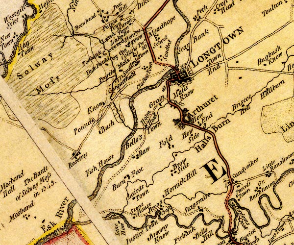
double line, solid or dotted, with a dot or milestone and number at 1 mile intervals, tinted red; turnpike road
D4NY37NE.jpg
"To Edinburgh"
D4NY37SE.jpg
into Scotland at Scots Dike
D4NY36NE.jpg
item:- Carlisle Library : Map 2
Images © Carlisle Library
 click to enlarge
CY47.jpg
"the Edinburgh Road"
double line
item:- JandMN : 419
Image © see bottom of page
 goto source
 click to enlarge
C38267.jpg
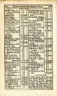
page 267-268 "Cross the Esk River; and 1¼of a Mile further, on r. a T.R. to Edin[burgh, through Longholm."
 goto source
 click to enlarge
C38283.jpg
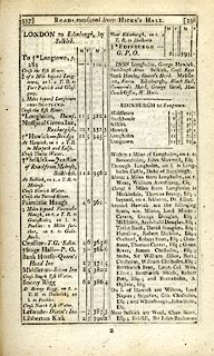
page 283-284 "Cross the Esk River; and a ¼of a Mile beyond Longtown, on r. a T.R. to Edinburgh, thro' Longholm"
 goto source
 click to enlarge
C38337.jpg
page 337-338 "LONDON to Edinburgh, by Selkirk."
part of
item:- JandMN : 228.1
Image © see bottom of page
 click to enlarge
GRA1Cd.jpg
"the Edinburgh Road"
double line, light dark solid; road
item:- Hampshire Museums : FA2000.62.2
Image © see bottom of page
 click to enlarge
WL13.jpg
"to Edinburgh"
double line, hatched; 'Mail Coach Road'
item:- Dove Cottage : 2009.81.10
Image © see bottom of page
item:- Hints for a Tour in Scotland
 goto source
Gentleman's Magazine 1812 part 2 p.6 "Hints for a Tour in SCOTLAND; in an Original Letter from the Hon. DAINES BARRINGTON to a Friend (probably Mr. PENNANT.)"
"July 17, 1771."
"DEAR SIR,"
"..."
"From Carlisle there is a new turnpike quite to Edinburgh, with regular stages, and very decent accomodations."
"I don't recollect any thing worth mentioning on this road, except that when you come to Selkirk you should inquire for Melrose Abbey.- I would advise you to lye there, as the house is a very decent one. It is not above 5 or 6 miles out of the road to Edinburgh."
"... ..."
 click to enlarge
HA14.jpg
"To Langholm"
double line, solid; main road; Longtown, Kirkandrews, ...
item:- JandMN : 91
Image © see bottom of page
 click to enlarge
SM22M7.jpg
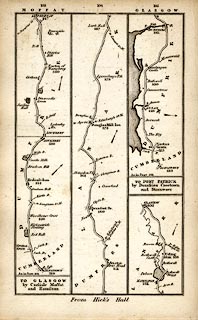
From Longtown, Cumberland; into Scotland; and other routes.
Included in Smith's Pocket New Companion to the Roads of England and Wales.
printed at p.103:- "TO GLASGOW / by Carlisle Moffat / and Hamilton"
item:- private collection : 269.7
Image © see bottom of page
BEL9NY37.jpg
BEL9NY36.jpg
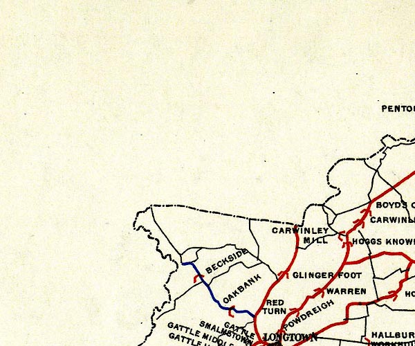
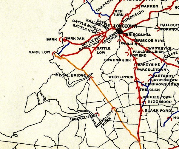
red - disturnpiked 'main road' under section 13 of the Highways Act 1878
Road map of Cumberland showing County Bridges
item:- Carlisle Library : Map 38
Images © Carlisle Library
 Longtown
 Scotsdike, Kirkandrews
 Canonbie, Scotland
 Langholm, Scotland
 Edinburgh, Scotland
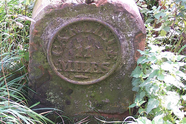 |
NY38687227 milestone, Kirkandrews (Kirkandrews) L |
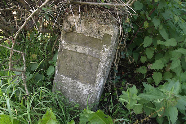 |
NY38727320 milestone, Kirkandrews (2) (Kirkandrews) |
 |
NY37867090 milestone, Kirkandrews (4) (Kirkandrews) |
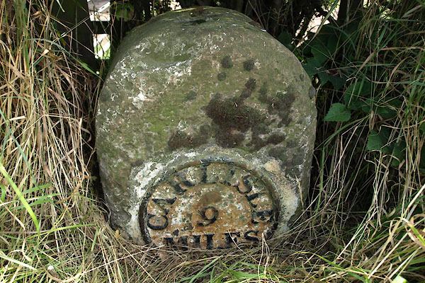 |
NY37186958 milestone, Kirkandrews (6) (Kirkandrews) L |
