


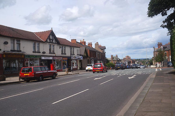
CFI39.jpg Stanwix Bank into Scotland Road.
(taken 5.8.2016)
placename:- Stanwix
placename:- Stanwix
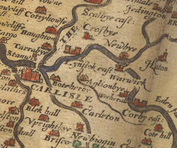
Sax9NY45.jpg
Marked by little more than a dot and circle. "Stanwix"
item:- private collection : 2
Image © see bottom of page
placename:- Stanwix
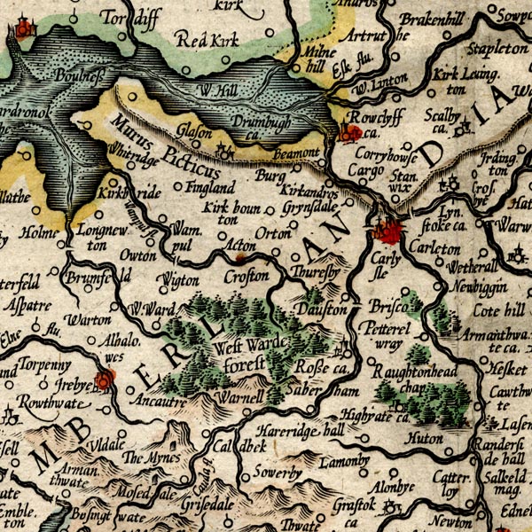
MER8CumC.jpg
"Stanwix"
circle
item:- JandMN : 169
Image © see bottom of page
placename:- Stanwix
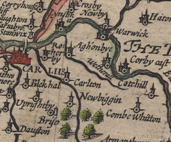
SP11NY45.jpg
"Stanwix"
circle, tower
item:- private collection : 16
Image © see bottom of page
placename:- Stanwix
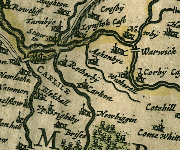
JAN3NY45.jpg
"Sta[]wix"
Buildings and tower.
item:- JandMN : 88
Image © see bottom of page
placename:- Stanix
placename:- Stanxicks
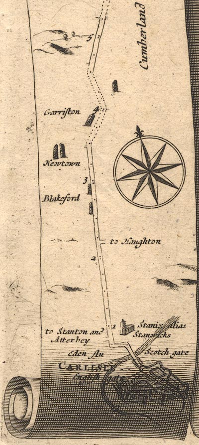
OG62m000.jpg
In mile 0, Cumberland. "Stanix alias Stanx[]icks"
church on the right of the road.
item:- JandMN : 83
Image © see bottom of page
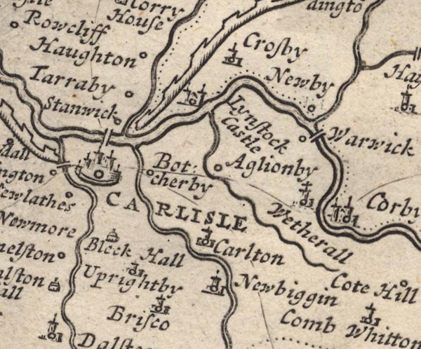
MD12NY45.jpg
Circle.
item:- JandMN : 90
Image © see bottom of page
placename:- Stanix
placename:- Stanwick
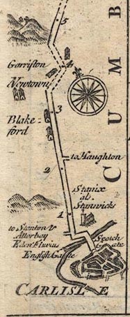
B161m00.jpg
"Stanix als Stanwick"
Drawing of a church; mile 1.
item:- JandMN : 65.161
Image © see bottom of page
placename:- Stanwicks
 goto source
"... Aglionby, and Stanwicks, Mr. Aglionby's. ..."
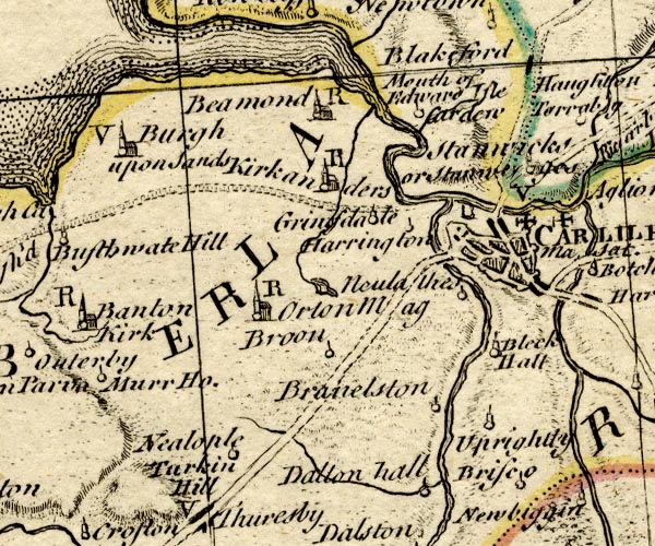
placename:- Stanwicks
placename:- Stainvises
BO18NY35.jpg
"Stanwicks or Sta[invi]ses / V"
circle, ?building and tower, vicarage
item:- Armitt Library : 2008.14.10
Image © see bottom of page
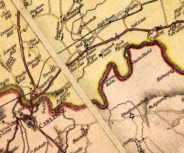
placename:- Stanwix
D4NY45NW.jpg
"Stanwix"
blocks, and usually a church, labelled in upright lowercase; a village
item:- Carlisle Library : Map 2
Image © Carlisle Library
placename:- Stanwicks
 goto source
Page 174:- "... This Picts wall afterwards erected on the Vallum of Severus is still visible at Stanwicks, a little village, a little beyond the river Eden, ..."
placename:- Stanwicks
placename:- Stane Wegges
item:- placename, Stanwix
 goto source
Page 227, Mr Horsley:- "..."
""STANWICKS, according to some, signifies the same as Stane wegges, that is, a place upon the stones, or a stoney way. Here the person where I lodged told me that the wall had passed through his garden; and that they hit upon it, and got stones from thence when they dug and enclosed his garden. The ditch, therefore, which appears so distinctly to the west of the village, between it and the river Eden, and which seems to lie pretty much in a line with this garden and the track of the wall, must, I think, be Severus's. ...""
placename:- Stanwick
 goto source
 click to enlarge
C38267.jpg
page 267-268 "Stanwick"
 goto source
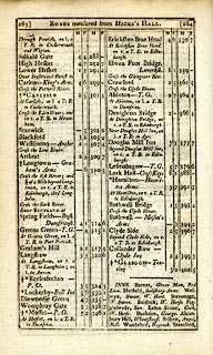 click to enlarge
C38283.jpg
page 283-284 "Stanwick"
item:- JandMN : 228.1
Image © see bottom of page
placename:- Stanwick
 goto source
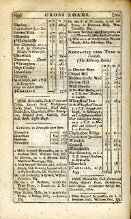 click to enlarge
C38699.jpg
page 699-700 "Stanwix"
item:- JandMN : 228.2
Image © see bottom of page
placename:- Stanwix
 click to enlarge
Lw21.jpg
"Stanwix 302¼"
village or other place; distance from London
item:- private collection : 18.21
Image © see bottom of page
placename:- Stanwix
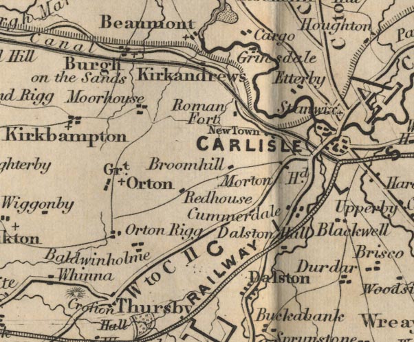
FD02NY35.jpg
"Stanwix"
item:- JandMN : 100.1
Image © see bottom of page
placename:- Stanwix
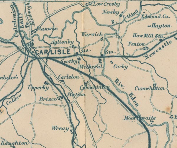
GAR2NY45.jpg
"Stanwix"
blocks, settlement
item:- JandMN : 82.1
Image © see bottom of page
placename:- Stanwix
item:- placename, Stanwix
HP01p152.txt
Page 152:- "..."
"Stanwix, site of Convagata, obtains its name from the "stone way" the Saxons found here. Truth to tell, modern Stanwix is a sorry spot on which to meditate upon the departed colonial fortunes of Imperial Rome, for the Wall is gone and Stanwix church and churchyard stand upon the site of the fort."
placename:- Stanwix
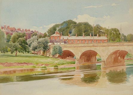 click to enlarge
PR0996.jpg
Summertime; Stanwix viewed from the far bank of the River Eden with Eden Bridge partially visible to extreme right.
inscribed at reverse:- "No 28 Stanwix from Weaver's Bank, Carlisle. Thos. Bushby. Victoria Lodge Currock Carlisle 1917 EM Bushby 151 Brampton Road Carlisle"
item:- Tullie House Museum : 1968.11.7.2
Image © Tullie House Museum
 Koln Delbruck, Germany
 |
NY40025684 Albert Place (Carlisle) |
 |
NY39755683 Cavendish Terrace (Carlisle) |
 |
NY39625718 Eden Place (Carlisle) |
 |
NY39995749 Scotland Road (Carlisle) |
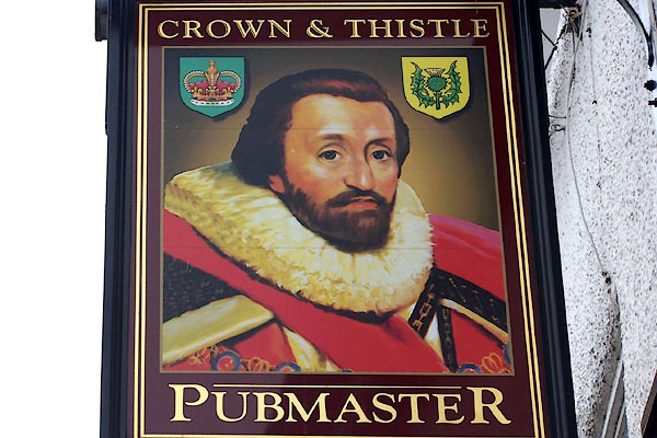 |
NY40155712 Crown and Thistle (Stanwix Rural) |
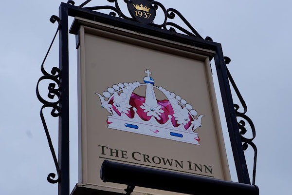 |
NY39985710 Crown Inn (Carlisle) |
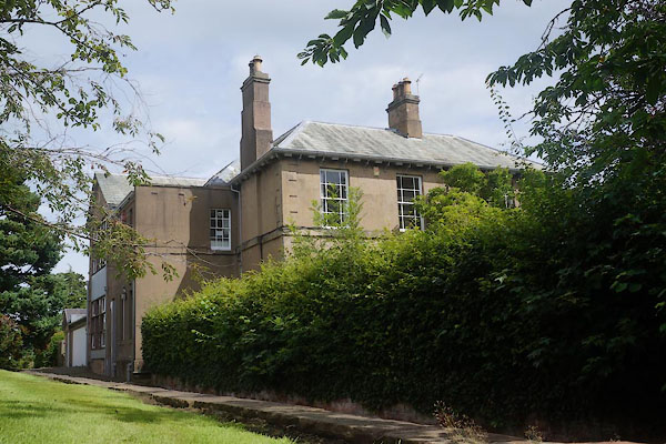 |
NY40355723 Cumbria College of Art and Design (Carlisle) L |
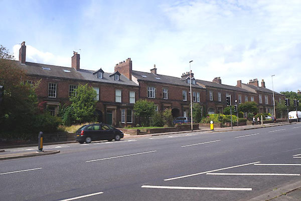 |
NY39965680 Devonshire Terrace (Carlisle) L |
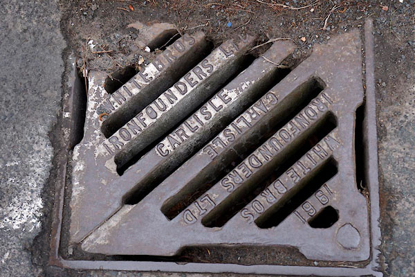 |
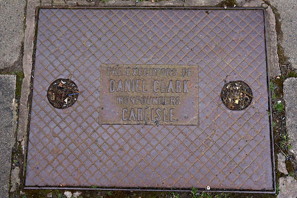
NY39735718 drain, Stanwix (Carlisle) |
 |
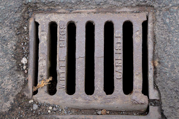
NY39785717 drain, Stanwix (2) (Carlisle) |
 |
NY39785717 drain, Stanwix (3) (Carlisle) |
 |
NY39565728 Eden Lodge (Carlisle) |
 |
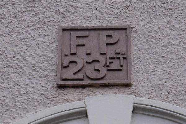
NY40045671 Eden Terrace (Carlisle) gone |
 |
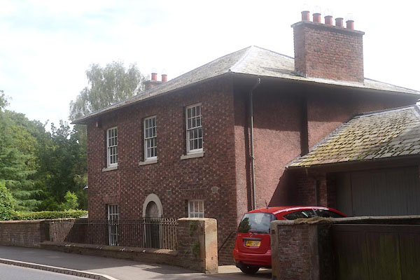
NY39835716 hydrant plate, Stanwix (Carlisle) |
 |
NY40315706 Little Bank (Carlisle) L |
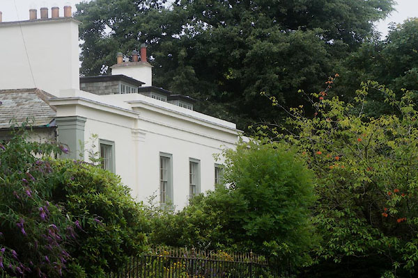 |
NY40225703 Mulcaster House (Carlisle) L |
 |
NY40215728 Old Croft (Carlisle) |
 |
NY40105702 Old Vicarage (Carlisle) L |
 |
NY403571 pillbox, Stanwix (Carlisle) |
 |
NY40035702 Prospect Place (Carlisle) gone |
 |
NY39575725 Rose Villa (Carlisle) |
 |
NY40015745 school, Stanwix (2) (Carlisle) gone? |
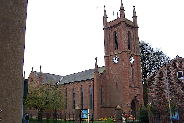 |
NY40145704 St Michael's Church (Carlisle) L |
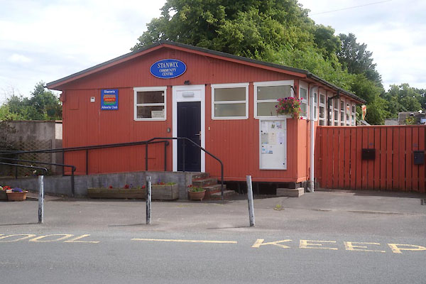 |
NY40165709 Stanwix Community Centre (Carlisle) |
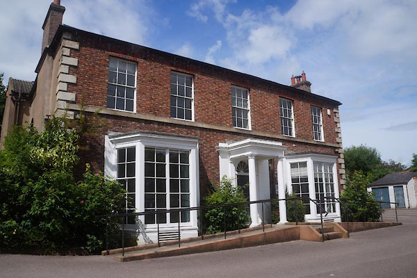 |
NY40175712 Stanwix House (Carlisle) L |
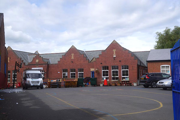 |
NY40125711 Stanwix School (Carlisle) |
 |
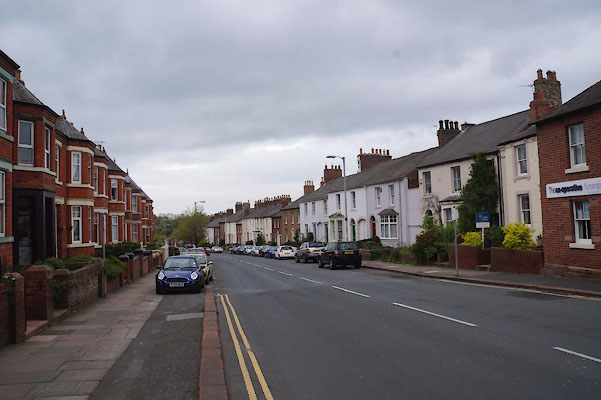
NY40075704 Church Street (Carlisle) |
 |
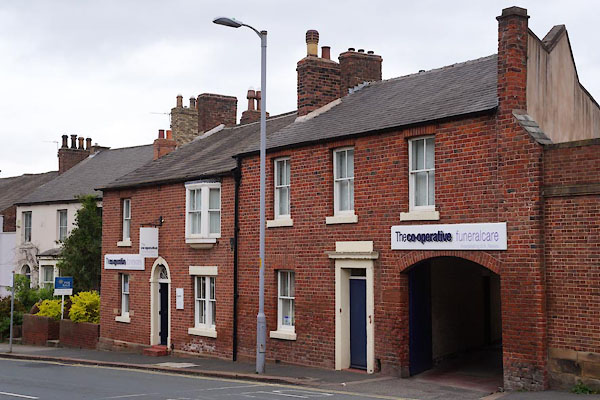
NY39845715 Etterby Street (Carlisle) |
 |
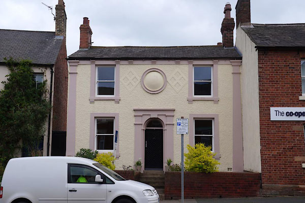
NY39965711 Cooperative Funeral Care (Carlisle) L |
 |
NY39955712 Stanwix: Etterby Street, 10 (Carlisle) L |
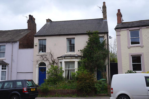 |
NY39945713 Stanwix: Etterby Street, 12 (Carlisle) L |
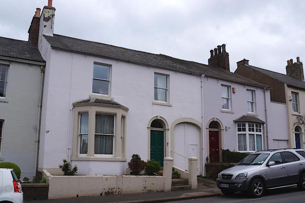 |
NY39935713 Stanwix: Etterby Street, 14 and 16 (Carlisle) L |
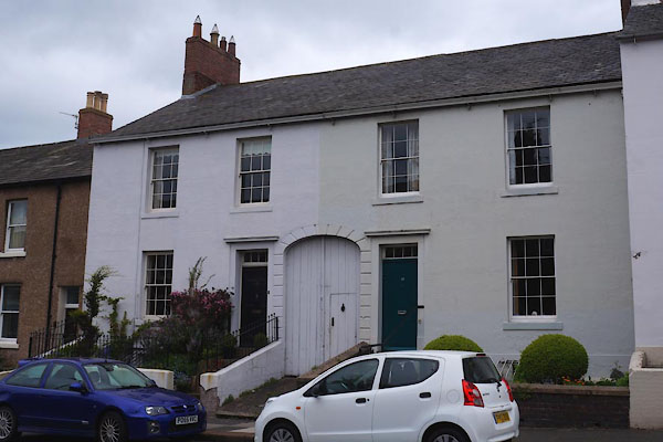 |
NY39925714 Stanwix: Etterby Street, 18 and 20 (Carlisle) L |
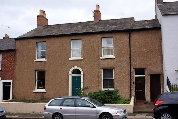 |
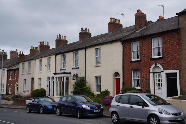
NY39905714 Stanwix: Etterby Street, 22 and 24 (Carlisle) L |
 |
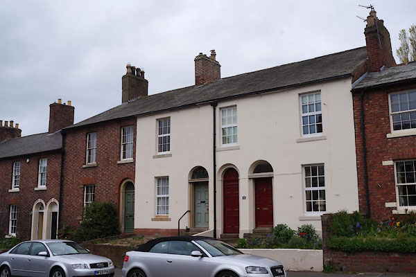
NY39895715 Stanwix: Etterby Street, 26 to 36 (Carlisle) L |
 |
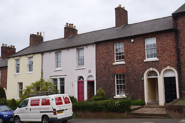
NY39855716 Stanwix: Etterby Street, 38 to 42 (Carlisle) L |
 |
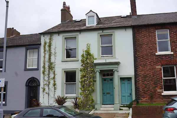
NY39835717 Stanwix: Etterby Street, 44 to 50 (Carlisle) L |
 |
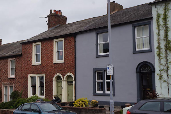
NY39815718 Stanwix: Etterby Street, 52 (Carlisle) L |
 |
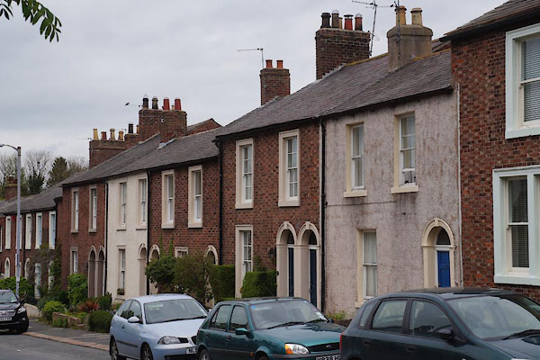
NY39795718 Stanwix: Etterby Street, 54 to 60 (Carlisle) L |
 |
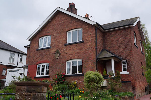
NY39755720 Stanwix: Etterby Street, 62 to 70 (Carlisle) L |
 |
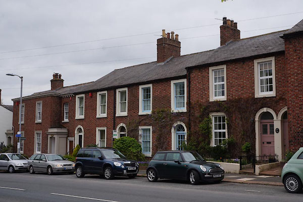
NY39735717 Border Regiment Cottage Homes (Carlisle) |
 |
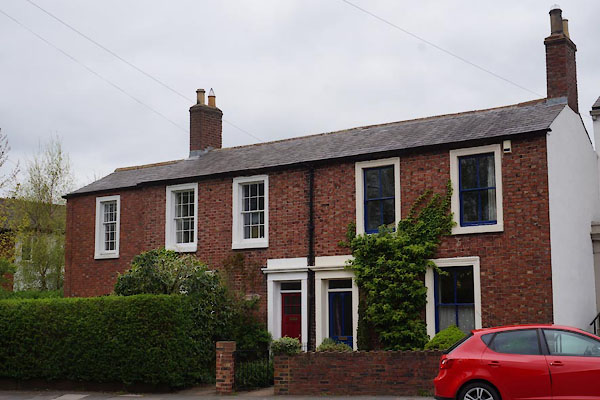
NY39735720 Stanwix: Etterby Street, 72 to 80 (Carlisle) L |
 |
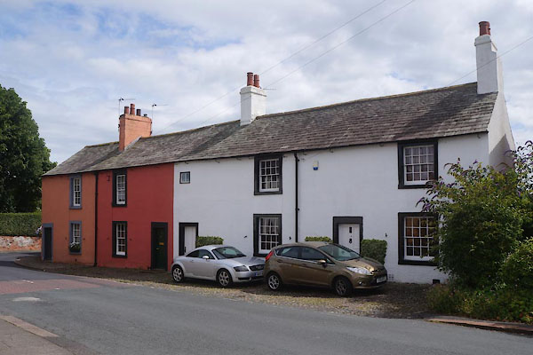
NY39725720 Stanwix: Etterby Street, 82 and 84 (Carlisle) L |
 |
NY40215716 Stanwix: Kells Place, 14 to 18 (Carlisle) L |
 |
NY40025719 Stanwix: Scotland Road, 38 to 48 (Carlisle) L |
 |
NY39985718 Stanwix: Scotland Road, 43 to 51 (Carlisle) L |
 |
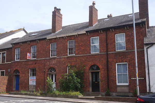
NY40015724 Stanwix: Scotland Road, 50 and 52 (Carlisle) L |
 |
NY40015684 Stanwix: Stanwix Bank, 1 to 3 (Carlisle) L |
 |
NY40345715 Villa, The (Carlisle) |
 |
NY39745846 Stanwix Memorial (Carlisle) |
 |
NY40045668 war memorial, Stanwix (2) (Carlisle) |
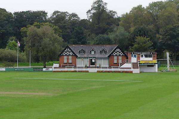 |
NY39855665 Carlisle Cricket Club (Carlisle) |
 |
NY399570 inn, Stanwix (Carlisle) |
 |
NY402568 King's Meadow (Carlisle) |
 |
NY40025701 school, Stanwix (Carlisle) |
 |
NY40005693 Stanwix Bank (Carlisle) |
 |
NY39745680 Hyssop Holme Well (Carlisle) L |
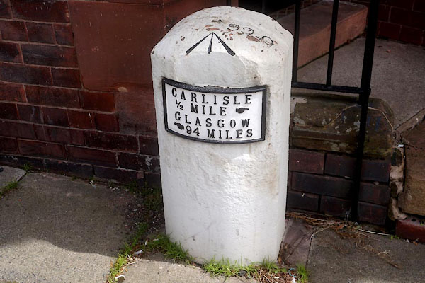 |
NY40005682 milestone, Carlisle (7) (Carlisle) |
 |
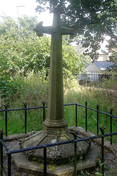
NY40485716 milestone, Carlisle (8) (Carlisle) |
 |
NY40175698 St Michael, Stanwix: monument 2 (Carlisle) L |
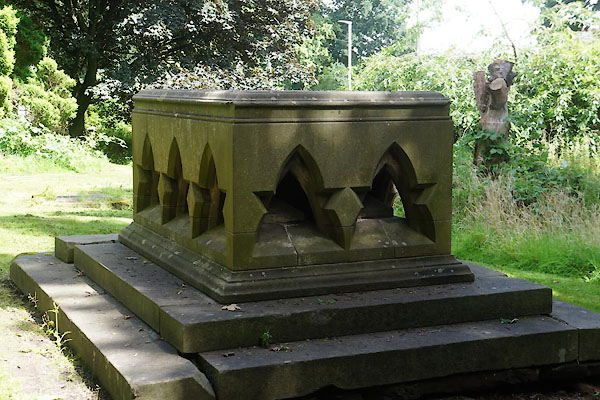 |
NY40175698 St Michael, Stanwix: monument 1 (Carlisle) L |
 |
NY40205707 Uxelodunum (Carlisle) |
