button to main menu  Old Cumbria Gazetteer
Ravenglass
R'englass
Rayneglass
civil parish:-   Muncaster (formerly Cumberland)
county:-   Cumbria
locality type:-   locality
locality type:-   buildings
locality type:-   market town
locality type:-   selected place
coordinates:-   SD08419633 (etc) 
1Km square:-   SD0896
10Km square:-   SD09
latitude; longitude:-   3d 24.6m W; 54d 21.2m N


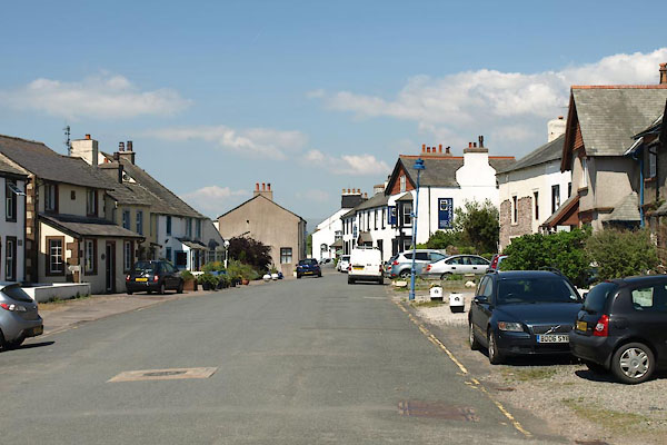
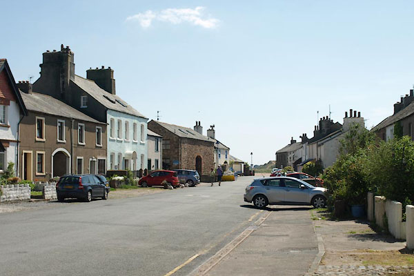
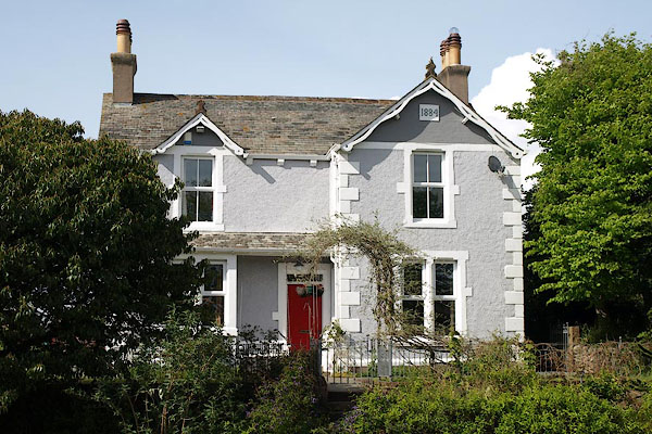
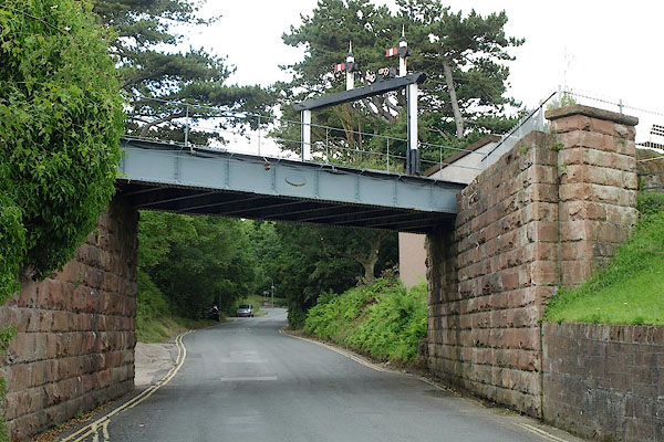
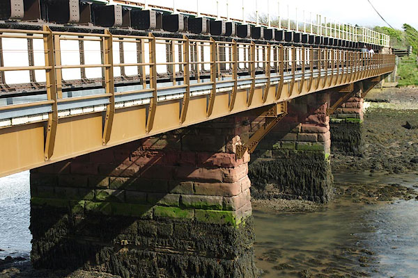
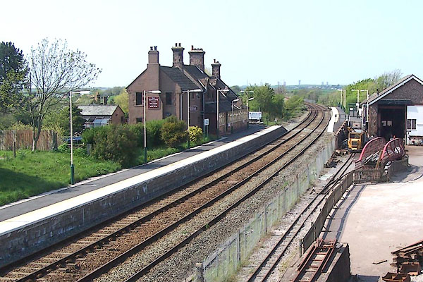
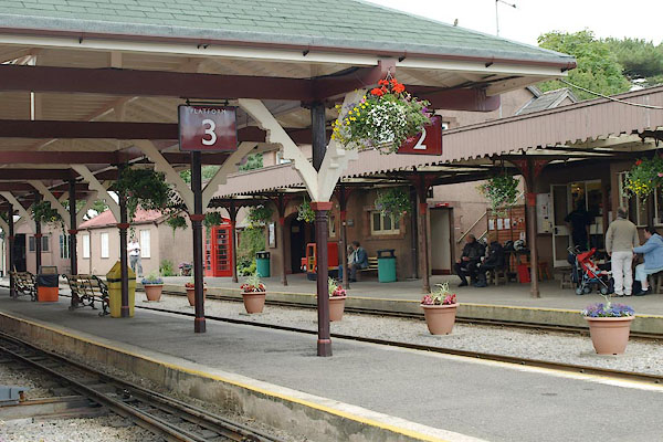
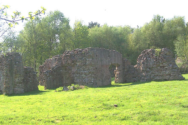
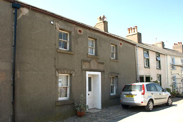
photograph
BST66.jpg (taken 14.5.2010)  
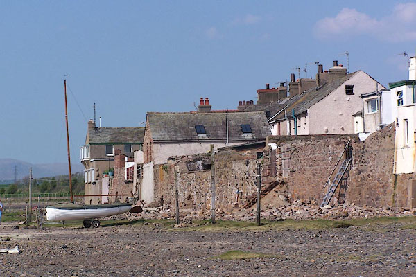
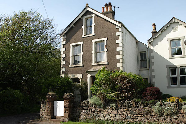
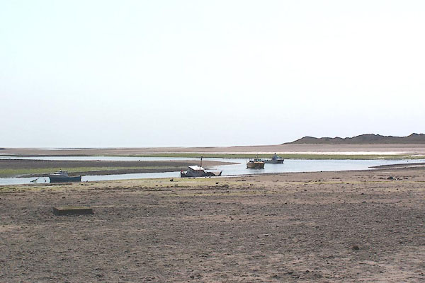
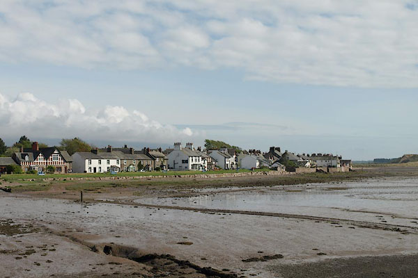
photograph
BMC09.jpg  Backs to the sea.
(taken 11.5.2006)  

evidence:-   old map:- OS County Series (Cmd 82 11) 
placename:-  Ravenglass
source data:-   Maps, County Series maps of Great Britain, scales 6 and 25 inches to 1 mile, published by the Ordnance Survey, Southampton, Hampshire, from about 1863 to 1948.

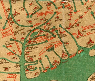
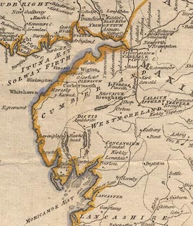
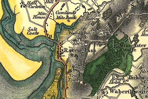
evidence:-   old map:- Gough 1350s-60s
placename:-  Renglas
source data:-   Map, colour photozincograph copy, reduced size facsimile, Gough Map of Britain, scale about 28.5 miles to 1 inch, published by the Ordnance Survey, Southampton, Hampshire, 1875.
image  click to enlarge
Ggh1Cm.jpg
item:-  JandMN : 33
Image © see bottom of page

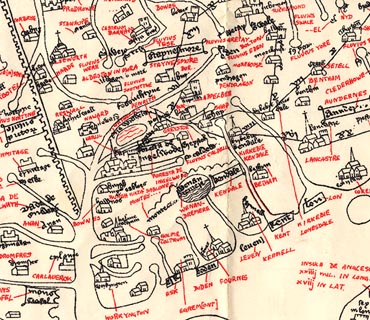
evidence:-   old map:- Gough 1350s-60s
placename:-  Renglas
source data:-   Map, lithograph facsimile, Gough Map of Britain, 20 miles to 1 inch? published by the Ordnance Survey, Southampton, Hampshire, 1935.
image  click to enlarge
Ggh2Cm.jpg
item:-  JandMN : 34
Image © see bottom of page

evidence:-   old map:- Lloyd 1573
placename:-  Ravenglas
source data:-   Map, hand coloured copper plate engraving, Angliae Regni, Kingdom of England, with Wales, scale about 24 miles to 1 inch, authored by Humphrey Lloyd, Denbigh, Clwyd, drawn and engraved by Abraham Ortelius, Netherlands, 1573.
image  click to enlarge
Lld1Cm.jpg
"Ravenglas"
item:-  Hampshire Museums : FA1998.69
Image © see bottom of page

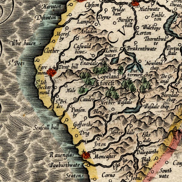
evidence:-   old map:- Saxton 1579
placename:-  Ravenglas
source data:-   Map, hand coloured engraving, Westmorlandiae et Cumberlandiae Comitatus ie Westmorland and Cumberland, scale about 5 miles to 1 inch, by Christopher Saxton, London, engraved by Augustinus Ryther, 1576, published 1579-1645.
image
Sax9SD09.jpg
Buildings and towers, symbol for a town.  "RAVENGLAS"
item:-  private collection : 2
Image © see bottom of page

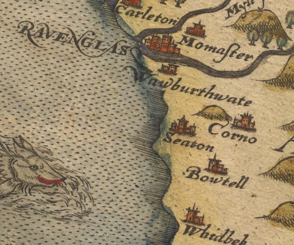
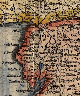
evidence:-   old map:- Mercator 1595 (edn?) 
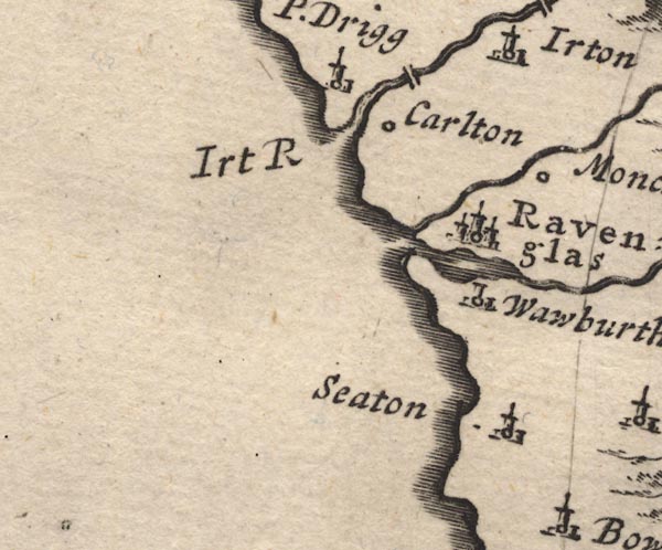
placename:-  Ravenglas
source data:-   Map, hand coloured engraving, Northumbria, Cumberlandia, et Dunelmensis Episcopatus, ie Northumberland, Cumberland and Durham etc, scale about 6.5 miles to 1 inch, by Gerard Mercator, Duisberg, Germany, about 1595.
image
MER8CumE.jpg
"Ravenglas"
circle, building/s, tower, tinted red 
item:-  JandMN : 169
Image © see bottom of page

evidence:-   old map:- Keer 1605
placename:-  Ravenglas
source data:-   Map, hand coloured engraving, Westmorland and Cumberland, scale about 16 miles to 1 inch, probably by Pieter van den Keere, or Peter Keer, about 1605 edition perhaps 1676.
image  click to enlarge
KER8.jpg
"Ravenglas"
dot, two circle, tower, tinted red; town 
item:-  Dove Cottage : 2007.38.110
Image © see bottom of page

evidence:-   old map:- Speed 1611 (Cum/EW) 
placename:-  Ravenglas
source data:-   Map, hand coloured engraving, Kingdome of Great Britaine and Ireland, scale about 36 miles to 1 inch, by John Speed, about 1610-11, published by Thomas Bassett, Fleet Street and Richard Chiswell, St Paul's Churchyard, London, 1676?
image  click to enlarge
SPD6Cm.jpg
"Ravenglas"
dot, circle, and tower 
item:-  private collection : 85
Image © see bottom of page

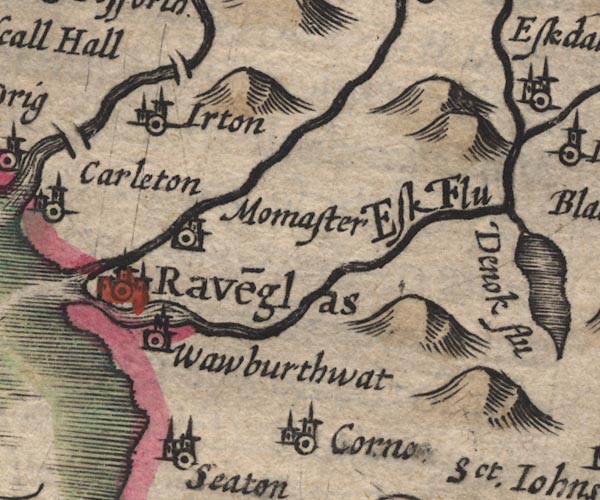
evidence:-   old map:- Speed 1611 (Cmd) 
placename:-  Ravenglas
source data:-   Map, hand coloured engraving, Cumberland and the Ancient Citie Carlile Described, scale about 4 miles to 1 inch, by John Speed, 1610, published by J Sudbury and George Humble, Popes Head Alley, London, 1611-12.
image
SP11SD19.jpg
"Rave~glas"
circle, buildings, tower 
item:-  private collection : 16
Image © see bottom of page

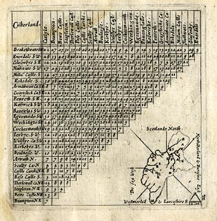
evidence:-   table of distances:- Simons 1635
placename:-  Ravenglas
source data:-   Table of distances, uncoloured engraving, Cumberland, with a thumbnail map, scale about 41 miles to 1 inch, by Mathew Simons, published in A Direction for the English Traviller, 1635.
image  click to enlarge
SIM4.jpg
"Rave~glas S.W."
and tabulated distances 
item:-  private collection : 50.11
Image © see bottom of page

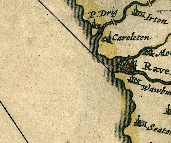
evidence:-   old map:- Jenner 1643
placename:-  Ravinglas
source data:-   Tables of distances with a maps, Westmerland, scale about 16 miles to 1 inch, and Cumberland, scale about 21 miles to 1 inch, published by Thomas Jenner, London, 1643; published 1643-80.
image
JEN4Sq.jpg
"Ravinglas"
circle 

evidence:-   old map:- Jansson 1646
placename:-  Ravenglas
source data:-   Map, hand coloured engraving, Cumbria and Westmoria, ie Cumberland and Westmorland, scale about 3.5 miles to 1 inch, by John Jansson, Amsterdam, Netherlands, 1646.
image
JAN3SD09.jpg
"Ravenglas"
Buildings and towers, suggestion of a wall, notice ?fence palings; upright lowercase text; market town. 
item:-  JandMN : 88
Image © see bottom of page

evidence:-   old map:- Sanson 1679
placename:-  Ravenglas
source data:-   Map, hand coloured engraving, Ancien Royaume de Northumberland aujourdhuy Provinces de Nort, ie the Ancient Kingdom of Northumberland or the Northern Provinces, scale about 9.5 miles to 1 inch, by Nicholas Sanson, Paris, France, 1679.
image  click to enlarge
SAN2Cm.jpg
"Ravenglas"
circle, buildings and towers; town 
item:-  Dove Cottage : 2007.38.15
Image © see bottom of page

evidence:-   old map:- Seller 1694 (Cmd) 
placename:-  Ravenglas
source data:-   Map, uncoloured engraving, Cumberland, scale about 12 miles to 1 inch, by John Seller, 1694.
image  click to enlarge
SEL9.jpg
"Ravenglas"
circle, upright lowercase text; town 
item:-  Dove Cottage : 2007.38.89
Image © see bottom of page

evidence:-   old map:- Morden 1695 (EW) 
placename:-  Ravenglas
source data:-   Map, hand coloured engraving, England, including Wales, scale about 27 miles to 1 inch, by Robert Morden, published by Abel Swale Awnsham and John Churchil, London, about 1695.
image  click to enlarge
MRD3Cm.jpg
"Ravenglas"
circle; village or town 
item:-  JandMN : 339
Image © see bottom of page

evidence:-   old map:- Morden 1695 (Cmd) 
placename:-  Ravenglas
source data:-   Map, uncoloured engraving, Cumberland, scale about 4 miles to 1 inch, by Robert Morden, 1695, published by Abel Swale, the Unicorn, St Paul's Churchyard, Awnsham, and John Churchill, the Black Swan, Paternoster Row, London, 1695-1715.
image
MD12SD09.jpg
"Ravenglas"
Circle, buildings, towers. 
item:-  JandMN : 90
Image © see bottom of page

evidence:-   old map:- Badeslade 1742
placename:-  Ravenglass
source data:-   Maps, Westmorland North from London, scale about 10 miles to 1 inch, and Cumberland North from London, scale about 11 miles to 1 inch, with descriptive text, by Thomas Badeslade, London, engraved and published by William Henry Toms, Union Court, Holborn, London, 1742; published 1742-49.
"Ravenglass Market Saturday, Fair July 25."

evidence:-   old map:- Badeslade 1742
placename:-  Ravenglass
source data:-   Map, uncoloured engraving, A Map of Cumberland North from London, scale about 11 miles to 1 inch, with descriptive text, by Thomas Badeslade, London, engraved and published by William Henry Toms, Union Court, Holborn, London, 1742.
image  click to enlarge
BD10.jpg
"Ravenglass"
building and tower; town? 
item:-  JandMN : 115
Image © see bottom of page

evidence:-   descriptive text:- Simpson 1746
placename:-  Ravenglass
item:-  fish guard
source data:-   Atlas, three volumes of maps and descriptive text published as 'The Agreeable Historian, or the Compleat English Traveller ...', by Samuel Simpson, 1746.
image SMP4P181, button  goto source
"..."
"Ravenglass is the next Market Town we are to speak of: Here is a commodious Harbour for Ships, made by the Meeting of the River Mute with the Eske. Richard de Lucy, Lord of Egremont, obtain'd of King John, in the 10th Year of his reign, a Grant of a Fair and Market to be kept Yearly in Right of the Haven, as Lord Paramount; but at the same Time confirm'd by a Fine, levied to the Mesne Lords and Tenants, all the Land and Fee of Ravenglass; and gave them, moreover, Estovers to make their Fish-Guards in the River Eske, which is continu'd to this Day. The Market is kept on Saturdays: and the Fair on July the 25th; and it is 214 Miles computed, and 272 measured from London."
"This Manor, and other Lands adjoining, have been long enjoy'd by the Penningtons, who took their name from the Town of Pennington in Lancashire. They were many of them Knights, and Men of great Valour in defending the Borders, and other Services."

evidence:-   old text:- Gents Mag
item:-  smugglingpreventive officerboat building
source data:-   Magazine, The Gentleman's Magazine or Monthly Intelligencer or Historical Chronicle, published by Edward Cave under the pseudonym Sylvanus Urban, and by other publishers, London, monthly from 1731 to 1922.
image G7480292, button  goto source
Gentleman's Magazine 1748 p.292  "..."
"Ravenglass is but a small town, consisting of single row of houses in an isthmus, so surrounded with water, that travellers are sometimes oblig'd to wait four or five hours before they can get to it, without riding almost up to the mountains. If there was occasion for it, a very small matter would render it unapproachable."
"..."
"Notwithstanding the government keeps a preventing officer at this town, he is so flood-lock'd, that he must often be an idle spectator of that foul practice of smuggling, without having it in his power to prevent it. 'Tis surprizing, that there is not a station boat allowed, that might enable him to go out at all times, to inspect vessels of that kind, for few others ever call here; from the sea-side is a very shocking landskip of fells and precipices, bare and quite void of soil to westward, as is observed thro' the world (See vol. xvii. p.525) so that whilst the east side affords fine pasturage, the west will hardly support a goat. Amidst these precipices, shocking as they are, many beautiful narrow vales are interspers'd, and kept so warm, that they produce a fine breed of large cattle, contrary to the usual custom of mountains."
"..."
"Was it not for its weekly market, Ravenglass would decline; but that, and the merchants of Whitehaven useing it sometimes as a building place for vessels, because materials are cheaper, contribute to its preservation."

evidence:-   old map:- Bickham 1753-54 (Cmd) 
placename:-  Raven Glass
source data:-   Map, uncoloured engraving, perspective map, Map of Cumberland North from London, by George Bickham, James Street, Bunhill Fields, London, 1753, published by F Jollie and Sons, Carlisle, Cumberland, 1811.
image  click to enlarge
JL05.jpg
"Raven Glass"
view (sort of) 
item:-  Carlisle Library : 4.2
Image © Carlisle Library

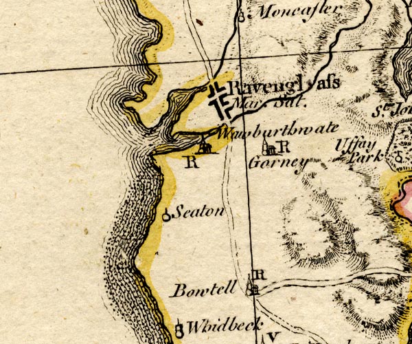
evidence:-   old map:- Bowen and Kitchin 1760
placename:-  Ravenglass
source data:-   Map, hand coloured engraving, A New Map of the Counties of Cumberland and Westmoreland Divided into their Respective Wards, scale about 4 miles to 1 inch, by Emanuel Bowen and Thomas Kitchin et al, published by T Bowles, Robert Sayer, and John Bowles, London, 1760.
image
BO18SD08.jpg
"Ravenglass Mar. Sat."
blocks, on road, street plan, town, market 
item:-  Armitt Library : 2008.14.10
Image © see bottom of page

evidence:-   old map:- Donald 1774 (Cmd) 
placename:-  Ravenglass
source data:-   Map, hand coloured engraving, 3x2 sheets, The County of Cumberland, scale about 1 inch to 1 mile, by Thomas Donald, engraved and published by Joseph Hodskinson, 29 Arundel Street, Strand, London, 1774.
image
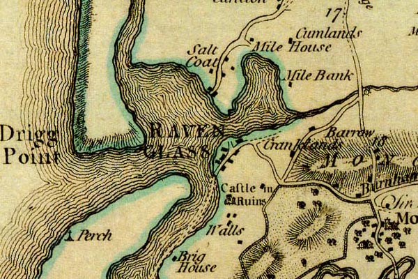
D4SD09NE.jpg
"RAVENGLASS"
blocks, perhaps a church, labelled in block caps; a town 
item:-  Carlisle Library : Map 2
Image © Carlisle Library

evidence:-   old map:- Donald 1774 (Cmd) 
placename:-  Ravenglass
source data:-   Map, hand coloured engraving, 3x2 sheets, The County of Cumberland, scale about 1 inch to 1 mile, by Thomas Donald, engraved and published by Joseph Hodskinson, 29 Arundel Street, Strand, London, 1774.
image
DN04Rvng.jpg
"RAVEN / GLASS"
Labelled in block caps for a market town; buildings on a street; notice the route through the estuary. 
item:-  Carlisle Library : Map 2
Image © Carlisle Library

evidence:-   old map:- Donald 1774 (Cmd) 
placename:-  Ravenglass
source data:-   Map, hand coloured engraving, 3x2 sheets, The County of Cumberland, scale about 1 inch to 1 mile, by Thomas Donald, engraved and published by Joseph Hodskinson, 29 Arundel Street, Strand, London, 1774.
image
D4SD09NE.jpg
"RAVENGLASS"
blocks, perhaps a church, labelled in block caps; a town 
item:-  Carlisle Library : Map 2
Image © Carlisle Library

evidence:-   old map:- Donald 1774 (Cmd) 
placename:-  Ravenglass
source data:-   Map, hand coloured engraving, 3x2 sheets, The County of Cumberland, scale about 1 inch to 1 mile, by Thomas Donald, engraved and published by Joseph Hodskinson, 29 Arundel Street, Strand, London, 1774.
image
DN04Rvng.jpg
"RAVEN / GLASS"
Labelled in block caps for a market town; buildings on a street; notice the route through the estuary. 
item:-  Carlisle Library : Map 2
Image © Carlisle Library

evidence:-   old map:- Pennant 1777
placename:-  Ravenglass
source data:-   Map, hand coloured engraving, A Map of Scotland, Hebrides and Part of England, drawn for Thomas Pennant, engraved by J Bayly, published by Benjamin White, London, 1777.
image  click to enlarge
PEN1Cm.jpg
"Ravenglass"
circle; buildings, village, etc 
item:-  private collection : 66
Image © see bottom of page

evidence:-   old map:- West 1784 map
placename:-  Ravenglass
source data:-   Map, hand coloured engraving, A Map of the Lakes in Cumberland, Westmorland and Lancashire, scale about 3.5 miles to 1 inch, engraved by Paas, 53 Holborn, London, about 1784.
image
Ws02SD09.jpg
item:-  Armitt Library : A1221.1
Image © see bottom of page

evidence:-   old text:- Camden 1789
placename:-  Ravenglass
placename:-  Aven Glass
item:-  placename, Ravenglass
source data:-   Book, Britannia, or A Chorographical Description of the Flourishing Kingdoms of England, Scotland, and Ireland, by William Camden, 1586, translated from the 1607 Latin edition by Richard Gough, published London, 1789.
image CAM2P169, button  goto source
Page 169:-  "..."
"... Ravenglass, a station where, I was told, were once two Roman inscriptions. It is conveniently environed by two rivers. Some will have it to have been called antiently Aven glass or the blue river, and tell many stories about king Eveling, who had a palace here. ..."

evidence:-   old text:- Camden 1789 (Gough Additions) 
placename:-  Ravenglas
item:-  placename, Ravenglaswoodcock
source data:-   Book, Britannia, or A Chorographical Description of the Flourishing Kingdoms of England, Scotland, and Ireland, by William Camden, 1586, translated from the 1607 Latin edition by Richard Gough, published London, 1789.
Page 179:-  "..."
"Dr. Burn derives Ravenglas from renigh, fern, and glas, green. Here are in winter such plenty of woodcocks, that the tenants are bound to sell them to the lord for a pence a piece."

evidence:-   old map:- Aikin 1790 (Cmd) 
placename:-  Ravenglass
source data:-   Map, uncoloured engraving, Cumberland, by John Aikin, London, 1790.
image  click to enlarge
AIK3.jpg
"Ravenglass"
circle; town 
item:-  JandMN : 145
Image © see bottom of page

evidence:-   old map:- Bailey 1797
placename:-  Ravenglass
source data:-   Map, soil etc, uncoloured engraving, Cumberland, scale about 21 miles to 1 inch, by J Bailey, engraved by Neele, Strand, published by Messrs Robinson, Paternoster Row and G Nicol, Pall Mall, London, 1797.
image  click to enlarge
BY04.jpg
"Ravenglass"
group of blocks; town 
item:-  Armitt Library : A680.2
Image © see bottom of page

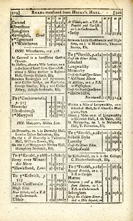
evidence:-   road book:- Cary 1798 (2nd edn 1802) 
placename:-  Ravenglass
source data:-   Road book, itineraries, Cary's New Itinerary, by John Cary, 181 Strand, London, 2nd edn 1802.
image CY38p319, button  goto source
image  click to enlarge
C38319.jpg
page 319-320  "Ravenglass"
item:-  JandMN : 228.1
Image © see bottom of page

evidence:-   old map:- Cooke 1802
placename:-  Ravenglass
source data:-   Map, Cumberland, scale about 15.5 miles to 1 inch, by George Cooke, 1802, bound in Gray's New Book of Roads, 1824, published by Sherwood, Jones and Co, Paternoster Road, London, 1824.
image  click to enlarge
GRA1Cd.jpg
"Ravenglass"
blocks, italic lowercase text, village, hamlet, locality 
item:-  Hampshire Museums : FA2000.62.2
Image © see bottom of page

evidence:-   old map:- Cooke 1802
placename:-  Ravenglass
source data:-   Map, The Lakes, Westmorland and Cumberland, scale about 8.5 miles to 1 inch, engravedby Neele and Son, published by Sherwood, Jones and Co, Paternoster Road, London, 1824.
image  click to enlarge
GRA1Lk.jpg
"Ravenglass"
blocks, upright lowercase text; town 
item:-  Hampshire Museums : FA2000.62.5
Image © see bottom of page

evidence:-   old map:- Laurie and Whittle 1806
placename:-  Ravenglass
source data:-   Road map, Completion of the Roads to the Lakes, scale about 10 miles to 1 inch, by Nathaniel Coltman? 1806, published by Robert H Laurie, 53 Fleet Street, London, 1834.
image  click to enlarge
Lw18.jpg
"Ravenglass 290 [ ]"
market town; distance from London 
item:-  private collection : 18.18
Image © see bottom of page

evidence:-   old text:- Capper 1808
placename:-  Ravenglass
item:-  marketfair
source data:-   Gazetteer, A Topographical Dictionary of the United Kingdom, compiled by Benjamin Pitts Capper, published by Richard Phillips, Bridge Street, Blackfriars, London, 1808; published 1808-29.
image CAP139, button  goto source
"..."
"RAVENGLASS, a market town in the parish of Muncaster, Allerdale ward, above Derwent, Cumberland, situated at the mouths of the rivers Irt and Eske, where they unite and form a harbour near the Irish Sea, 24 miles from Cockermouth, and 284 from London. The town is well built, has a good charity school, and an extensive fishery. The population of this place was omitted to be returned. The market is on Saturday, and its fairs are the 8th June and 5th August."
"..."

evidence:-   old map:- Cooper 1808
placename:-  Ravenglass
source data:-   Map, uncoloured engraving, Cumberland, scale about 10.5 miles to 1 inch, drawn and engraved by Cooper, published by R Phillips, Bridge Street, Blackfriars, London, 1808.
image  click to enlarge
COP3.jpg
"Ravenglass"
circle with two side bars; town 
item:-  JandMN : 86
Image © see bottom of page

evidence:-   old map:- Wallis 1810 (Cmd) 
placename:-  Ravenglass
source data:-   Road map, hand coloured engraving, Cumberland, scale about 16 miles to 1 inch, by James Wallis, 77 Berwick Stree, Soho, London, 1810.
image  click to enlarge
WL13.jpg
"Ravenglass"
village, hamlet, house, ... 
item:-  Dove Cottage : 2009.81.10
Image © see bottom of page

evidence:-   old map:- Otley 1818
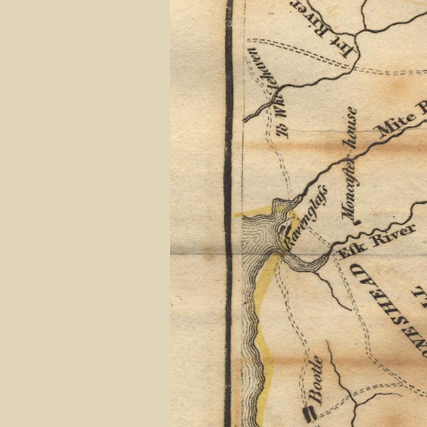
placename:-  Ravenglass
source data:-   Map, uncoloured engraving, The District of the Lakes, Cumberland, Westmorland, and Lancashire, scale about 4 miles to 1 inch, by Jonathan Otley, 1818, engraved by J and G Menzies, Edinburgh, Scotland, published by Jonathan Otley, Keswick, Cumberland, et al, 1833.
image
OT02SD09.jpg
"RAVENGLASS"
item:-  JandMN : 48.1
Image © see bottom of page

evidence:-   old map:- Hall 1820 (Cmd) 
placename:-  Ravenglass
source data:-   Map, hand coloured engraving, Cumberland, scale about 21 miles to 1 inch, engraved by Sidney Hall, published by S Leigh, 18 Strand, London, 1820-31.
image  click to enlarge
HA14.jpg
"Ravenglass / 279"
circle, upright lowercase text; town; distance from London 
item:-  JandMN : 91
Image © see bottom of page

evidence:-   old map:- Perrot 1823
placename:-  Ravenglass
source data:-   Map, hand coloured engraving, Cumberland and Westmoreland ie Westmorland, scale about 38 miles to 1 inch, by Aristide Michel Perrot, engraved by Migneret, 1823, published by Etienne Ledoux, 9 Rue Guenegaud, Paris, France, 1824-48.
image  click to enlarge
PER2.jpg
"Ravenglass"
circle; town 
item:-  Dove Cottage : 2007.38.45
Image © see bottom of page

evidence:-   old map:- Greenwood 1824
placename:-  Ravenglass
source data:-   Map, engraving, Map of the County of Cumberland, scale about 1 inch to 1 mile, etc, by Christopher and John Greenwood, published by George Pringle jnr, 70 Queen Street, Cheapside, London, 1823.
image
gw12rvng.jpg
"Ravenglass"
street map; labelled in lowercase for a parish or township. 
item:-  National Library of Scotland : EME.b.3.11
Image © National Library of Scotland

evidence:-   old map:- Cobbett 1832
placename:-  Ravenglass
source data:-   Map, uncoloured engraving, Cumberland, scale about 20 miles to 1 inch, by William Cobbett, 11 Bolt Court, Fleet Street, London, 1832.
image  click to enlarge
COB5.jpg
"Ravenglass"
dot and circle; town 
item:-  JandMN : 117
Image © see bottom of page

evidence:-   descriptive text:- Ford 1839 (3rd edn 1843) 
placename:-  Ravenglass
source data:-   Guide book, A Description of Scenery in the Lake District, by Rev William Ford, published by Charles Thurnam, Carlisle, by W Edwards, 12 Ave Maria Lane, Charles Tilt, Fleet Street, William Smith, 113 Fleet Street, London, by Currie and Bowman, Newcastle, by Bancks and Co, Manchester, by Oliver and Boyd, Edinburgh, and by Sinclair, Dumfries, 1839.
image FD01P014, button  goto source
Page 14:-  "..."
"Ravenglass, is a small market-town, at the confluence and embouchure of the Mite and Irt, contains nothing to detain the traveller, ..."

evidence:-   old map:- Ford 1839 map
placename:-  Ravenglass
source data:-   Map, uncoloured engraving, Map of the Lake District of Cumberland, Westmoreland and Lancashire, scale about 3.5 miles to 1 inch, published by Charles Thurnam, Carlisle, and by R Groombridge, 5 Paternoster Row, London, 3rd edn 1843.
image
FD02SD09.jpg
"RAVENGLASS"
item:-  JandMN : 100.1
Image © see bottom of page

evidence:-   old map:- Garnett 1850s-60s H
placename:-  Ravenglass
source data:-   Map of the English Lakes, in Cumberland, Westmorland and Lancashire, scale about 3.5 miles to 1 inch, published by John Garnett, Windermere, Westmorland, 1850s-60s.
image
GAR2SD09.jpg
"Ravenglass"
blocks, settlement 
item:-  JandMN : 82.1
Image © see bottom of page

evidence:-   old text:- Martineau 1855
source data:-   Guide book, A Complete Guide to the English Lakes, by Harriet Martineau, published by John Garnett, Windermere, Westmorland, and by Whittaker and Co, London, 1855; published 1855-76.
image MNU1P113, button  goto source
Page 113:-  "... the opening of the valley [Eskdale] to the sea affords a fine view, with the little town of Ravenglass seated in the bay where the Irt, the Mite, and the Esk flow into the sea. ..."

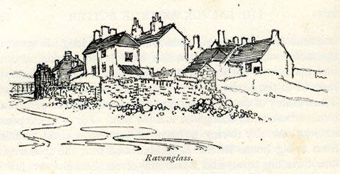
evidence:-   old print:- Bradley 1901
placename:-  Ravenglass
source data:-   Print, uncoloured lithograph, Ravenglass, Muncaster, Cumberland, by Joseph Pennell, published by Macmillan and Co, London, 1901.
image  click to enlarge
BRL141.jpg
On page 180 of Highways and Byways in the Lake District, by A G Bradley. 
printed at bottom:-  "Ravenglass."
item:-  JandMN : 464.41
Image © see bottom of page

evidence:-   market notes:- 
item:-  market
source data:-   www.history.ac.uk/cmh/gaz/gazweb2.htmOwen: 1792: New Book of FairsBowen, Emanuel &Kitchin, Thomas: 1760: New Map of the Counties of Cumberland and Westmoreland

 Post Office maps

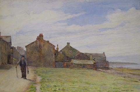
evidence:-   old painting:- 
source data:-   Painting, watercolour, Ravenglass, Cumberland, by Thomas Carr, 1906.
image  click to enlarge
PR0887.jpg
To left of composition an old man with a walking stick approaches, two fish hanging from his left hand. Behind him stands a deserted fishing village beyond which, to right of composition, lies the sea. A wide area of flat grassland fills remainder of foreground. 
signed &dated at bottom right:-  "Thos. Carr 1906"
item:-  Tullie House Museum : 1925.85
Image © Tullie House Museum

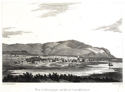
evidence:-   old print:- 
placename:-  Ravenglass
source data:-   Print, uncoloured engraving, View of Ravenglass, and Black Comb Mountain, Cumberland, drawn by Joseph Farington, engraved by Letitia Byrne, published by T Cadell and W Davies, Strand, London, 1815
image  click to enlarge
PR0564.jpg
printed at bottom left, right, centre:-  "Drawn by Joseph Farington R.A. / Etchedby Letitia Byrne. / View of Ravenglass, and Black Comb Mountain. / Published Septr. 20, 1815, by T. cadell &W. Davies Strand."
item:-  Dove Cottage : 2008.107.512
Image © see bottom of page
text:-  
Races were part of the annual fair here. Cumberland Pacquet, 1813:-
"[FAIR, HIRING DAY AND RACES AT RAVENGLASS. / The Annual Fair in the said town, for buying and selling all sorts of cattle, horses, sheep, wool, yarn, and other commodities ... will be held on Thursday, 6th May, 1813. / There will also be a Hiring Day for Servants. / RAVENGLASS RACES. / will be run on the same day. A match of ~50 and a purse of gold will be run over the old course and other sports as usual. The running horses to be subject to such conditions as the stewards will then produce.]"

Fairfax-Blakeborough 1950


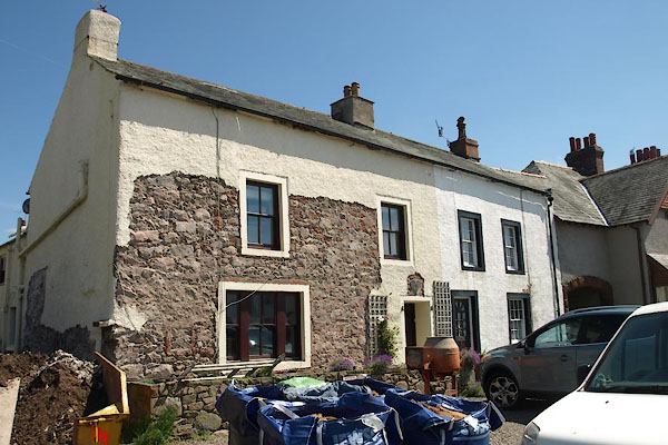
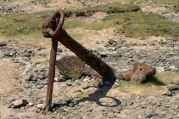
photograph
BYM15.jpg  Anchor.
(taken 4.6.2013)  
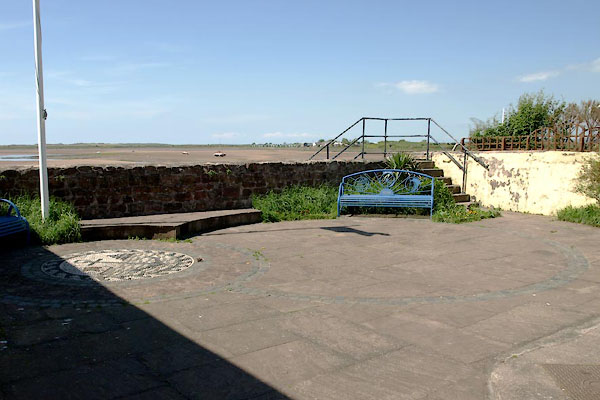
photograph
BYM16.jpg (taken 4.6.2013)  
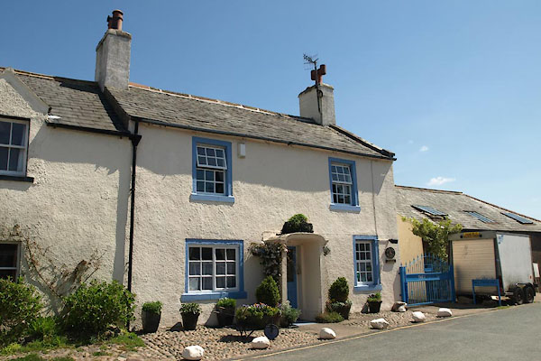
photograph
BYM20.jpg (taken 4.6.2013)  
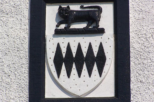
photograph
BMC07.jpg  Coat of arms on a house, Pennington Family.
(taken 11.5.2006)  
hearsay:-  
Ravenglass fair was 5 August, feast of St James. It deteriorated into a sports meeting called the St Jam Races, which ceased about 1905.

person:-    : John
date:-   1208
period:-   13th century
item:-   chartermarket charter
Market charter granted by John, 1208; Saturday market, and annual fair on Feast of St James the Apostle.

places:-  
SD08419624 Bay Horse (Muncaster) L
SD08449658 drain, Ravenglass (Muncaster)
SD08579660 Ravenglass Engine Shed (Muncaster)
SD08839658 Grove, The (Muncaster)
SD08499662 Retreat, The (Muncaster)
SD08519661 Springfield (Muncaster)
SD08489661 house, Ravenglass (3) (Muncaster)
SD08449636 house, Ravenglass (4) (Muncaster)
SD08409630 market cross, Ravenglass (Muncaster) gone
SD08399637 Millenium Garden (Muncaster)
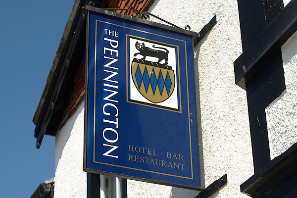
SD08439640 Pennington Hotel (Muncaster)
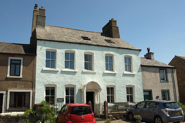
SD08429628 Pennington House (Muncaster) L
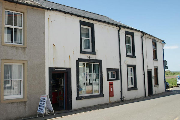
SD08409639 Ravenglass Post Office (Muncaster)
SD08429630 post office, Ravenglass (2) (Muncaster)
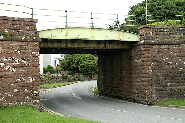
SD08469658 railway bridge, Ravenglass (Muncaster)
SD08599653 railway bridge, Ravenglass (2) (Muncaster)
SD083967 railway viaduct, Ravenglass (Muncaster)
SD08229613 Ravenglass Fishery (Muncaster)
SD08159602 Ravenglass Harbour (Muncaster / Bootle / Drigg and Carleton)
SD08549652 Ravenglass and Eskdale Railway Museum (Muncaster)
SD08539649 Ravenglass Station (Muncaster)
SD08599650 Ravenglass Station (Muncaster)
SD08859580 Glannoventa (Muncaster)
SD08399623 Ship House (Muncaster)
SD08779565 Walls Bridge (Muncaster)
SD08949576 Walls (Muncaster)
SD08779587 well, Ravenglass (Muncaster)
SD08779503 Sea Mark, The (Muncaster)
SD08589606 boat house, Ravenglass (Muncaster)
button to lakes menu  Lakes Guides menu.