


placename:- Salkeld Gate
placename:- Saucoldyate
OG38m287.jpg
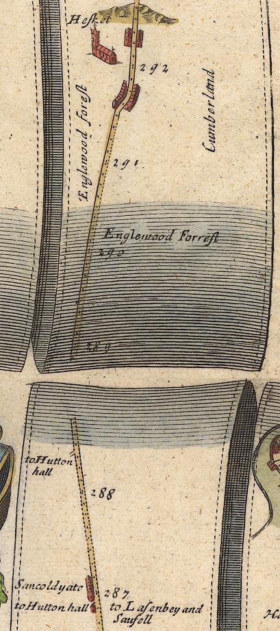
In mile 287, Cumberland. "Sa[u]coldyate"
houses on the left of the road.
item:- JandMN : 21
Image © see bottom of page
placename:- Plumpton
MD12NY54.jpg
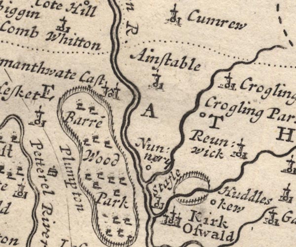
"Plumpton"
Drawing of a house.
item:- JandMN : 90
Image © see bottom of page
placename:- Plompton
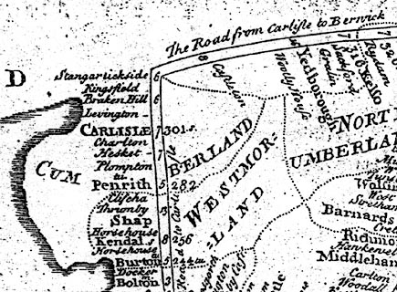
"Plompton"
 click to enlarge
MWD1Cm.jpg
item:- private collection : 264
Image © see bottom of page
placename:- Plompton
placename:- Sandcoteyate
BO18NY44.jpg
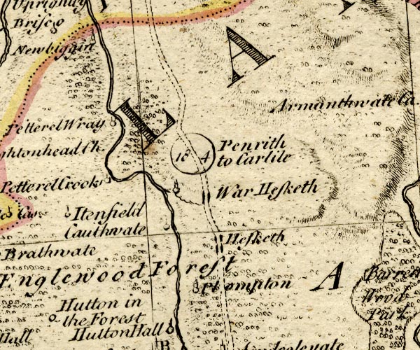
"Plompton"
circle, tower; perhaps also plotted as:-
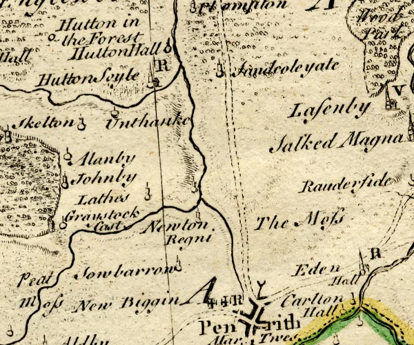
BO18NY43.jpg
"Sandcoteyate"
circle, tower
item:- Armitt Library : 2008.14.10
Image © see bottom of page
placename:- Plumpton Wall
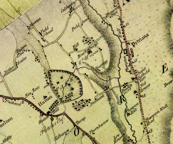
D4NY43NE.jpg
"Plumpton Wall"
block or blocks, labelled in lowercase; a hamlet or just a house
item:- Carlisle Library : Map 2
Image © Carlisle Library
placename:- Salkeld Gate
 goto source
 click to enlarge
C38267.jpg
page 267-268 "Salkeld Gate"
 goto source
 click to enlarge
C38283.jpg
page 283-284 "Salkeld Gate"
item:- JandMN : 228.1
Image © see bottom of page
placename:- Plumpton

Bk03Vg03.jpg
"Plumpton"
item:- private collection : 3
Image © see bottom of page
placename:- Salkeld Yate
placename:- Plumpton Walk
 click to enlarge
GRA1Cd.jpg
"Salkeld Yate"
blocks, italic lowercase text, village, hamlet, locality "Plumpton Walk"
blocks, italic lowercase text, village, hamlet, locality
item:- Hampshire Museums : FA2000.62.2
Image © see bottom of page
placename:- Salkeld Gate
 click to enlarge
Lw18.jpg
"Salkeld Gate 292¼"
village or other place; distance from London
item:- private collection : 18.18
Image © see bottom of page
placename:- Salkeld Gate
 click to enlarge
Lw21.jpg
"Salkeld Gate 292¼"
village or other place; distance from London
item:- private collection : 18.21
Image © see bottom of page
placename:- Plumpton
 click to enlarge
COP3.jpg
"Plumpton"
circle; village or hamlet
item:- JandMN : 86
Image © see bottom of page
placename:- Salkeld Gate
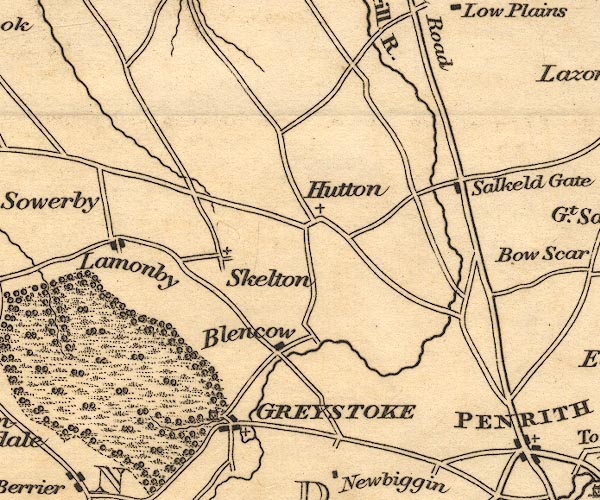
OT02NY43.jpg
item:- JandMN : 48.1
Image © see bottom of page
placename:- Plumpton Wall
placename:- Salkeld Gate
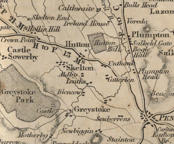
FD02NY43.jpg
"Plumpton Wall / Salkeld Gate"
item:- JandMN : 100.1
Image © see bottom of page
placename:- Salkeld Gate
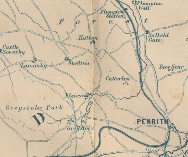
GAR2NY43.jpg
"Salkeld Gate"
blocks, settlement
item:- JandMN : 82.1
Image © see bottom of page
placename:- Plumpton
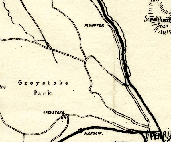
PST2NY43.jpg
"PLUMPTON."
no symbol
item:- JandMN : 162.2
Image © see bottom of page
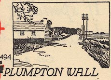
EJB3Vg23.jpg
item:- private collection : 17
Image © see bottom of page
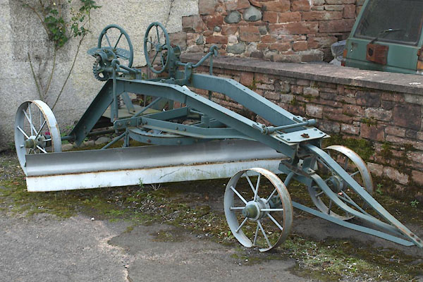
BYX67.jpg Grader.
(taken 2.8.2013)
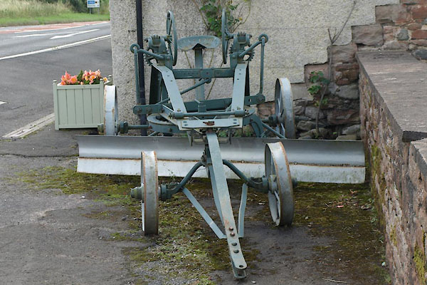
BYX68.jpg Grader.
(taken 2.8.2013)
 |
NY49103691 Bewaldeth (Hesket) |
 |
NY49913635 Boggle Hall (Hesket) |
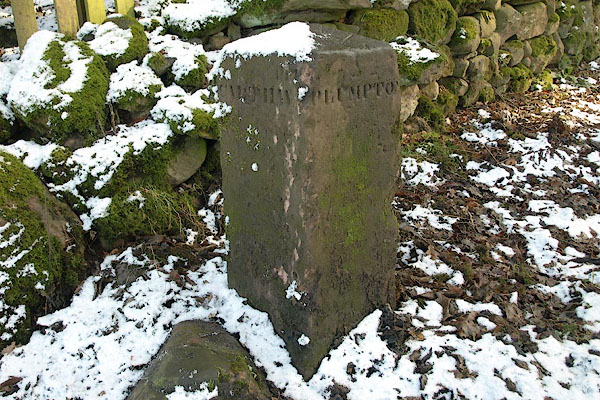 |
NY47323940 boundary stone, Hesket L |
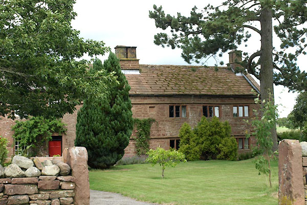 |
NY49263698 Brockleymoor House (Hesket) L |
 |
NY49203693 Brockleymoor (Hesket) |
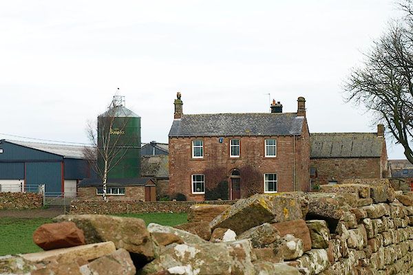 |
NY49403834 Castlesteads (Hesket) |
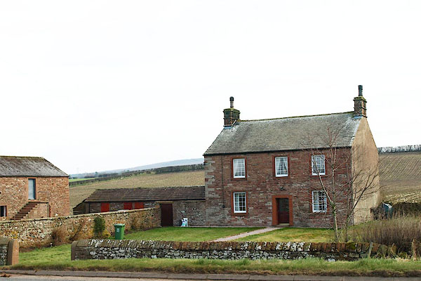 |
NY49503819 Lough (Hesket) |
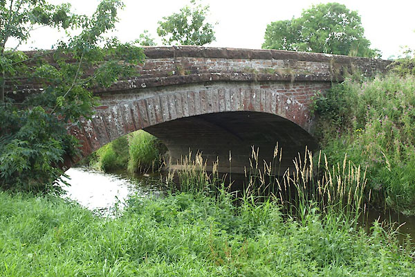 |
NY48953689 Middle Bridge (Hesket) L |
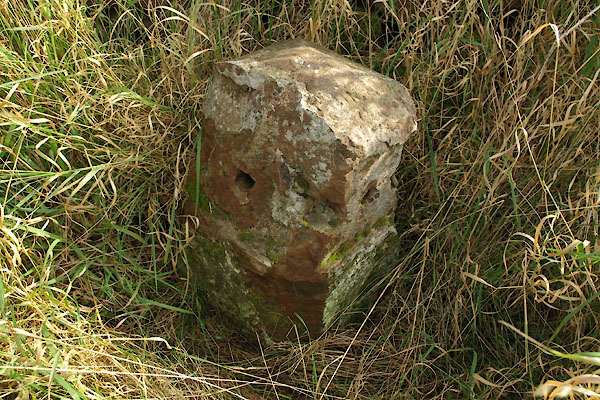 |
NY49573791 milestone, Hesket (6) (Hesket) |
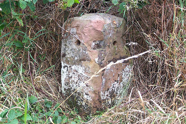 |
NY49943635 milestone, Hesket (7) (Penrith) |
 |
NY50313478 milestone, Penrith (3) (Penrith) |
 |
SD30857867 Plumpton Mines (Egton with Newland) |
 |
NY49593763 Monk's House (Hesket) |
 |
NY50313585 Mounseybank (Penrith) |
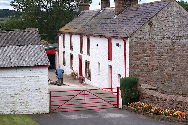 |
NY499364 Nelson Hill Farm (Hesket) |
 |
NY49903661 Newhouse (Hesket) |
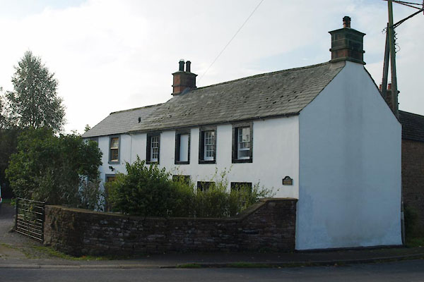 |
NY49753707 Old Police House (Hesket) |
 |
NY49493557 Plumpton Hall (Hesket) L out of sight |
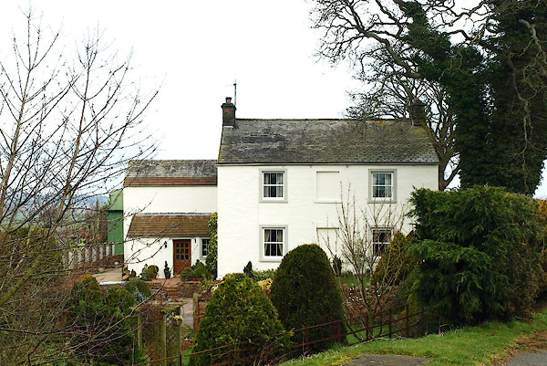
 |
NY50243505 Plumpton Head (Penrith) |
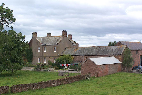
 |
NY50183497 Plumpton Head (Penrith) |
 |
NY49843654 Plumpton Old Hall (Hesket) L |
 |
NY4938 Plumpton Park (Hesket) once |
 |
SD31187844 Plumpton Quarries (Egton with Newland) |
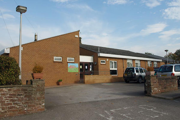 |
NY49743712 Plumpton School (Hesket) |
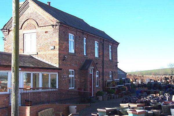 |
NY48733703 Plumpton Station (Hesket) |
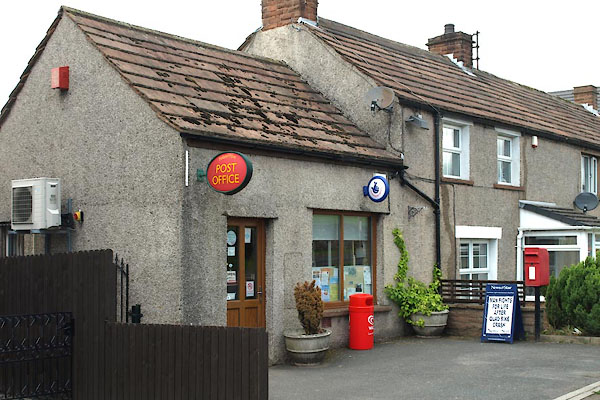 |
NY49773716 Plumpton Village Shop (Hesket) |
 |
NY49553781 Plumpton Wall Farm (Hesket) |
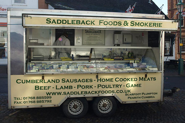 |
NY497371 Saddleback Foods and Smokerie (Hesket) |
 |
NY48433968 Plumptonfoot (Hesket) |
 |
NY49353580 Plumptonhall Mill (Hesket) |
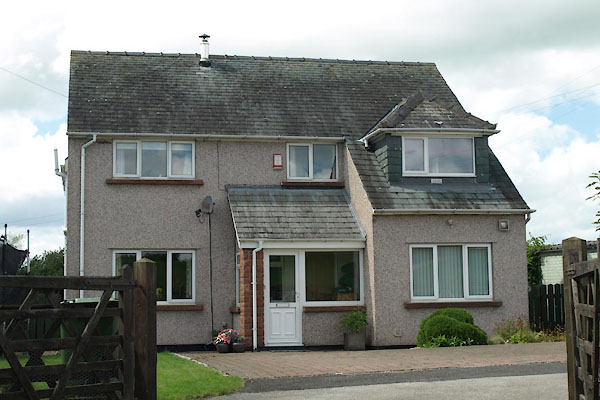 |
NY49753720 Police House, The (Hesket) |
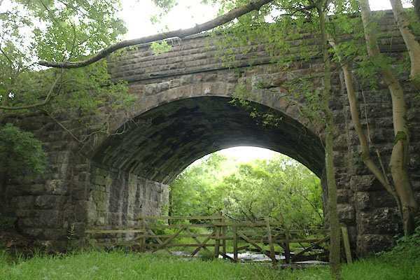 |
SD31197929 railway bridge, Egton with Newland (Egton with Newland) |
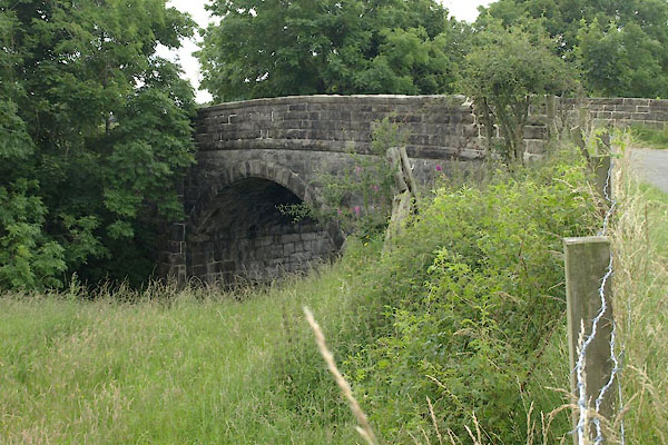 |
SD31057898 railway bridge, Egton with Newland (2) (Egton with Newland) |
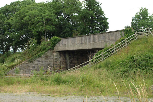 |
SD31137888 railway bridge, Egton with Newland (3) (Egton with Newland) |
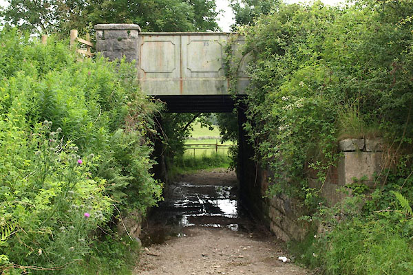 |
SD31527887 railway bridge, Egton with Newland (4) (Egton with Newland) |
 |
NY49583856 roman camp, Plumpton (Hesket) |
 |
NY50033535 roman camp, Plumpton Head (Penrith) |
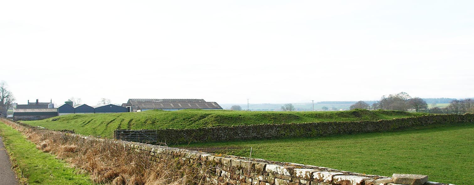 |
NY49333846 Voreda (Hesket) |
 |
NY49633744 Romanway Farm (Hesket) |
 |
NY49743709 Salkeld Gate (Hesket) L |
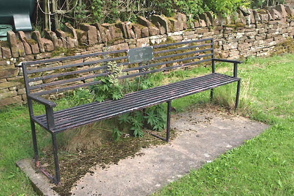 |
NY49013689 seat, Plumpton (Hesket) |
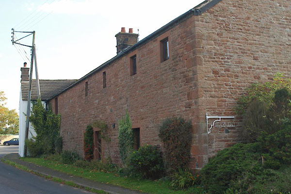 |
NY49713707 Southdene (Hesket) |
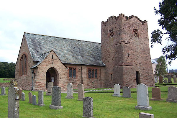 |
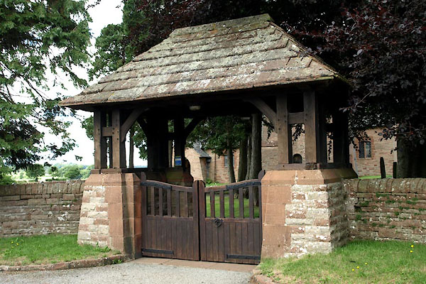
NY49703716 St John's Church (Hesket) L |
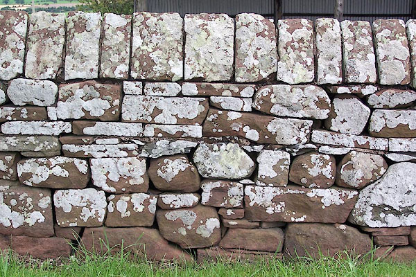 |
NY49913643 stone wall, Plumpton (Hesket) |
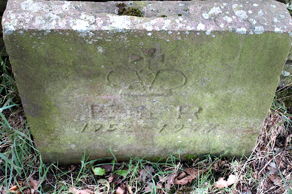 |
NY49003688 stone, Plumpton (Hesket) |
 |
NY49533831 tarn, Plumpton (Hesket) suggested |
 |
NY49723713 war memorial, Plumpton (Hesket) |
 |
NY49803706 Pack Horse (Hesket) |
 |
NY49823707 toll gate, Plumpton (Hesket) |
 |
NY49913678 bridge, Plumpton (Hesket) |
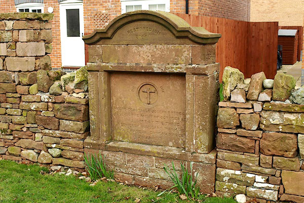 |
NY49643705 Byrnes Memorial, Plumpton (Hesket) L |
