


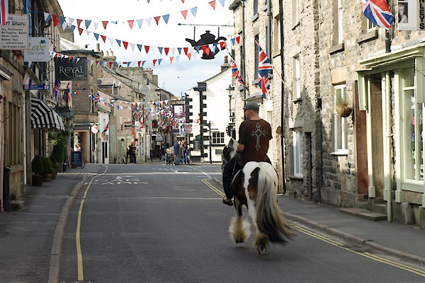
BWT01.jpg (taken 10.6.2012)
placename:- Kirkby Lonsdale
OS County Series (Wmd 47 12)
placename:- Kirkebie Lonesdale
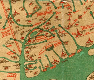 click to enlarge
Ggh1Cm.jpg
item:- JandMN : 33
Image © see bottom of page
placename:- Kirkebie Lonesdale
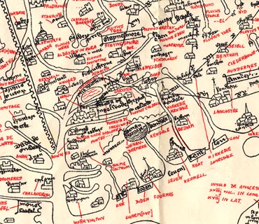 click to enlarge
Ggh2Cm.jpg
item:- JandMN : 34
Image © see bottom of page
placename:- Kirkby Launsdale
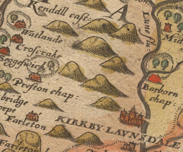
Sax9SD58.jpg
Buildings and towers, symbol for a town. "KIRKBY LAUNSDALE"
item:- private collection : 2
Image © see bottom of page
placename:- Kirkby Lunesdale

MER5WmdA.jpg
"Kirkby Lunesdale"
circle, building/s, tower, tinted red
item:- Armitt Library : 2008.14.3
Image © see bottom of page
placename:- Kibkbi Launsdale
 click to enlarge
KER8.jpg
"Kibkbi launsdale"
dot, two circle, tower, tinted red; town
item:- Dove Cottage : 2007.38.110
Image © see bottom of page
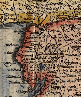
placename:- Kirby
 click to enlarge
SPD6Cm.jpg
"Kirby"
dot, circle, and tower
item:- private collection : 85
Image © see bottom of page
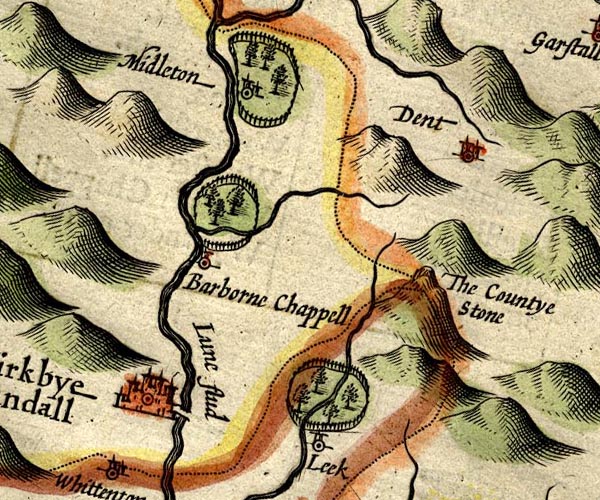
placename:- Kirkbye Landall
SP14SD68.jpg
"Kirkbye Landall"
circle, buildings and towers
item:- Armitt Library : 2008.14.5
Image © see bottom of page
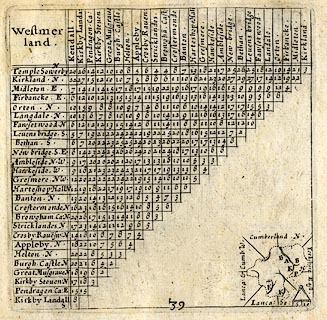
placename:- Kikrby Landall
 click to enlarge
SIM3.jpg
"Kikrby Landall S"
and tabulated distances; K on thumbnail map
item:- private collection : 50.39
Image © see bottom of page
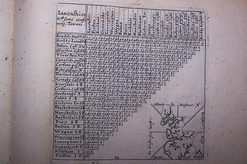
placename:- Kirkby Lansdale
 click to enlarge
SIM522.jpg
"Kirkby Lansd N.E"
and tabulated distances
item:- private collection : 50.22
Image © see bottom of page
placename:- Lonesdale
 goto source
Page 29:- "..."
"Thence to Lonesdale, where I view'd"
"An Hall, which like a Tavern shew'd;"
"Neat Gates, white Walls, nought was sparing,"
"Pots brim-ful, no thought of caring:"
"They eat, drink, laugh, are still Mirth-making,"
"Nought they see that's worth Care taking."
"..."
 goto source
Page 125:- "..."
"Thence to Lonesdale, where were at it"
"Boys that scorn'd Quart Ale by Statute;"
"Till they stagger'd, stammer'd, stumbled,"
"Railed, reeled, rolled, tumbled;"
"Musing I should be so stranged,"
"I resolv'd them I was changed."
"To the sink of Sin they drew me,"
"Where like Hogs in Mire they threw me;"
"Or like Dogs unto their Vomit,"
"But their Purpose I o'ercomed;"
"With shut Eyes I flung in Anger"
"From those Mates of Death and Danger."
"..."
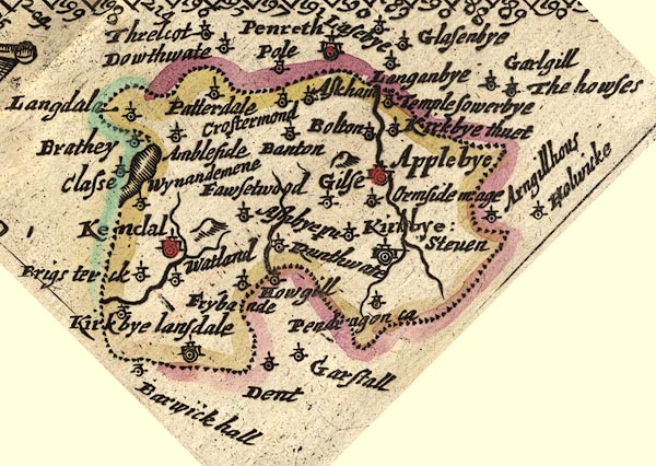
placename:- Kirkbye lansdale
JEN3Sq.jpg
"Kirkbye lansdale"
dot, circle, tower
item:- private collection : 52.Wmd
Image © see bottom of page
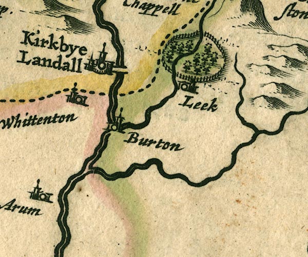
placename:- Kirkbye Landall
JAN3SD67.jpg
"Kirkbye Landall"
Buildings and towers, suggestion of a wall, notice ?fence palings; upright lowercase text; market town.
item:- JandMN : 88
Image © see bottom of page
placename:- Kirkbye Lansdall
 click to enlarge
SAN2Cm.jpg
"Kirkbye Lansdall"
circle, buildings and towers; town
item:- Dove Cottage : 2007.38.15
Image © see bottom of page
placename:- Kirkbye Landall
 click to enlarge
SEL7.jpg
"Kirkbye Landall"
circle, tower, italic lowercase text; town?
item:- Dove Cottage : 2007.38.87
Image © see bottom of page
placename:- Lonsdale
 click to enlarge
MRD3Cm.jpg
"Lonsdale"
circle; village or town
item:- JandMN : 339
Image © see bottom of page
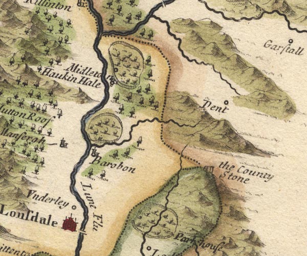
placename:- Kirkby Lonsdale
MD10SD68.jpg
"Kirkby Lonsdale"
Circle, buildings, towers.
item:- JandMN : 24
Image © see bottom of page
placename:- Kirby Launsdale
placename:- Kirby Lunedale
item:- woollens
"Such as Kirby Launsdale, or Lunedale, because it stands on the River Lune, ... The manufacture which the people are employed in here, are chiefly woollen cloths, at Kirby Launsdale, and Kendal, and farther northward,a security for the continuance of the people in the place; for here is a vast concourse of people."
placename:- Kirkby Lonsdale
"Kirby Lonsdale Market Thursd:"
placename:- Kirby Lonsdale
 click to enlarge
BD12.jpg
"Kirby Lonsdale"
circle, tower/s, upright lowercase text; town
item:- Dove Cottage : 2007.38.62
Image © see bottom of page
placename:- Kirkby Lonsdale
item:- market; placename, Kirkby Lonsdale; woollens
 goto source
Page 1024:- "..."
"Kirkby Lonsdale, the chief Town of Lonsdale, i.e. a Vale upon the Lone, that Tract which gives Title of Viscount to the Family of Lowthers of Lowther Hall, in this County. It is called Kirkby from the Bishop of Carlisle of that Name, who routed the Scots, and 'tis said was a Native of this Place. 'Tis a prettty large Town, with a Woollen Manufacture, and has a fair Church, with a good Stone Bridge over the River Lone. Its Market is on Tuesday."
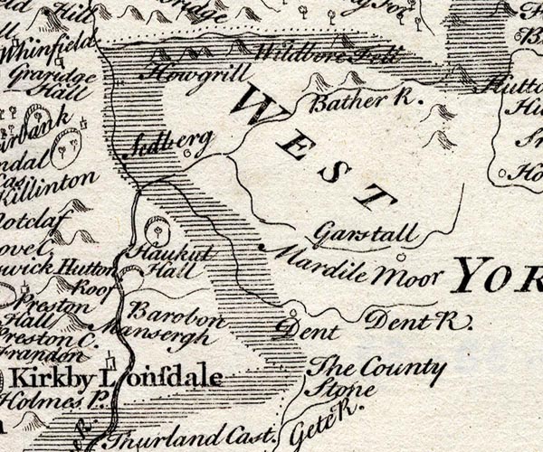
placename:- Kirkby Lonsdale
SMP2SDU.jpg
"Kirkby Lonsdale"
Building; labelled as a town.
item:- Dove Cottage : 2007.38.59
Image © see bottom of page
item:- sun dogs
 goto source
Gentleman's Magazine 1753 p.370
 click to enlarge
G753E01.jpg
"Mr URBAN,"
"ON May 24, about half an hour after six o'clock in the morning, the air being replete with watery particles of a pale duskish colour, and the atmosphere seeming to be equally spread with a very fine lamina, smooth and evenly suspended, there appeared a coloured halo above the sun (see the above representation) very fair and distinct, for a considerable time. The inner half of the semicircle was of a reddish, and the outer half of a light yellow colour, the bright spots on either side the sun terminated in far distant points, like the shadow of the earth in an eclipse of the moon; the corona, or inverted circle, was not so visible as one I observed a few years since: the bright spots disappeared first, then the vivid colour of the iris faded by degrees, extending itself to a stupendous arch before it totally disappeared."
"We have had very hot droughty weather, and still continues ever since the appearance of the halo. - The barometer unusually low, rising and falling almost every day a little, but low in the main from what might be expected this hot season."
"Yours, &c. S. PARROT."
"Near Kirkby Lonsdale, Westmorland, June 5."
placename:- Kirkby Lonsdale
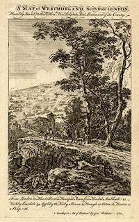 click to enlarge
BCK3.jpg
"Kirkby Lonsdale"
view (sort of)
item:- Armitt Library : 2008.14.71
Image © see bottom of page
placename:- Kirkby Lonsdale
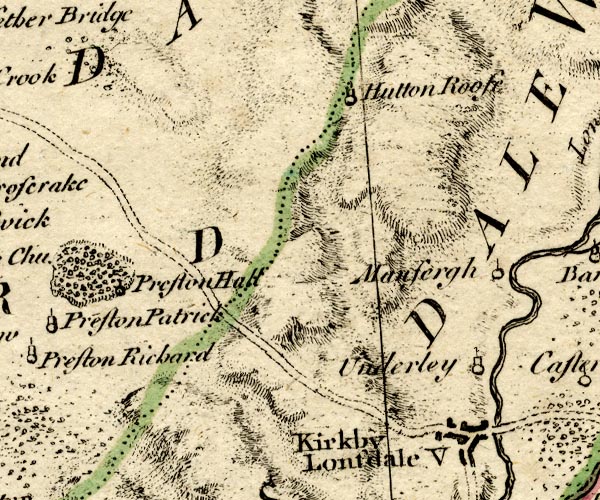
BO18SD58.jpg
"Kirkby Lonsdale / V"
blocks, on road, street plan, town, vicarage
item:- Armitt Library : 2008.14.10
Image © see bottom of page
placename:- Kirby Lonsdale
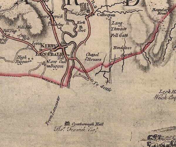
J5SD67NW.jpg
"KIRBY LONSDALE"
blocks on a street plan, labelled in block caps; settlement, market town?
item:- National Library of Scotland : EME.s.47
Image © National Library of Scotland
placename:- Kirkby Lonsdale
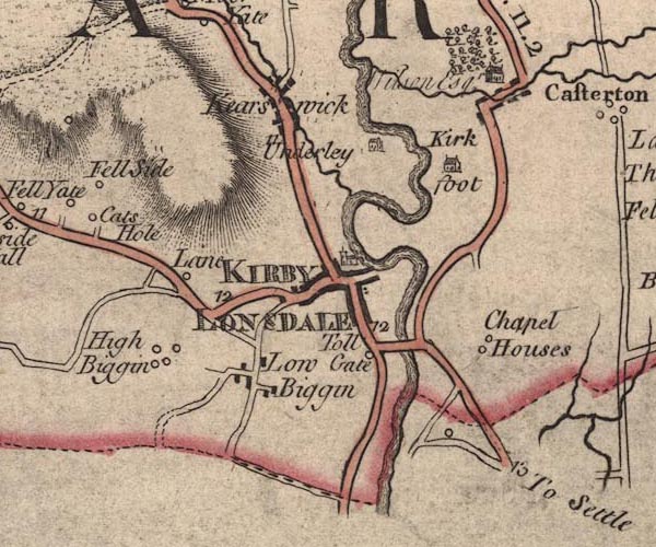
JEF5KrLn.jpg
"KIRKBY LONSDALE"
blocks on a street plan, church
item:- National Library of Scotland : EME.s.47
Image © National Library of Scotland
placename:- Kirkby Lonsdale
item:- stockings; mill, Kirkby Lonsdale
 goto source
Pennant's Tour 1773, page 118 "..."
"At a small distance from the bridge is Kirkby-Lonsdale, a small town, noted chiefly for the elegant view from the church-yard, and from a fine walk continued from it on the verge of a high slope. The prospect is diversified with rich meadows watered by the Lune, which makes two bold meanders, with gentlemen's seats, a wooded and cultivated tract creeping high up the hills, and a boundary beyond of various lofty fells, with Ingleborough shewing its distant top."
"On the side of the walk is an exploratory mount, surrounded by a ditch, judiciously placed, as it commands a distant view up the vale now called Lonsdale, which gives the addition to Kirkby, to distinguish it from other places of the same name. It is a parish of great extent, and a manor once belonging to the Abbey of St. Mary in York. At the dissolution it was granted to a family of the Roman name of Carus, still in being. After several transfers it remains at this time in the Earl, who takes his title from the vale."
"..."
 goto source
Pennant's Tour 1773, page 119 "..."
"The mills of the town are remarkable, being built on the side of a steep bank, and worked by the water of a brook conveyed through the town. It sets in motion seven wheels, one above the other; one is for making snuff, another serves a fulling-mill. Formerly this town enjoyed a considerable manufacture of knit-stockings, but at present it is greatly declined."
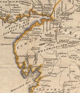
placename:- Kirkby Lonsdale
 click to enlarge
PEN1Cm.jpg
"Kirkby Lonsdale"
circle; buildings, village, etc
item:- private collection : 66
Image © see bottom of page
 goto source
Tour to the Caves in the West Riding of Yorkshire, late 18th century
Page 239:- "..."
"About six o'clock, one morning in June, we set off from Kendal, and, after travelling about a dozen miles along a good turnpike-road, over Endmoor and Crowbrow, we arrived at Kirkby-Lonsdale soon after eight. ... ... Kirkby-Lonsdale is a neat, well paved, clean town, ornamented with several genteel houses, adjoining to some of which are elegant gardens. The houses are covered with blue slate, which has an agreeable effect on the eye of a stranger. A small brook runs through the market-street, which is useful and commodious to the inhabitants: afterwards it turns several mills, in its steep descent to the river Lune. The church is a large and decent structure; ... Opposite to"
 goto source
Page 240:- "the church gates is the old hall, taken notice of one hundred and fifty years ago by drunken Barnaby, in his Itinerary. It is still an inn, and no doubt keeps up its ancient character."
"Veni Lonsdale, ubi cernam, / Aulam factam in tabernam; / Nitidae portae, nivei muri, / Cyathi pleni, pacae curae; / Edunt, bibunt, ludunt, rident, / Cura dignum, nihil vident."
"I came to Lonsdale, were I staid / At hall, into a tavern made: / Neat gates, white walls - nought was sparing; / Pots brim-full - no thought of caring; / They eat, drink, laugh, are still mirth making - / Nought they see that's worth care taking."
"..."
 goto source
Page 243:- "..."
"... Antoninus's tenth Itinerary runs from Glanoventa or Lanchester, in the county of Durham, ... to Glenovento or Draton, in the county of Salop. In various places by the side of this road are high artificial mounts of earth, which were without doubt the stations of centinels, to prevent any insurrections, or being surprised by an enemy: they may be now seen entire at Burton-in-Lons-"
 goto source
Page 244:- "[Burton-in-Lons]dale, Overborough, Kirkby-Lonsdale, and Sedbergh. ... ... [after an outing] About a furlong before we arrived at the bridge, the town of Kirkby-Lonsdale appeared in a point of view peculiarly pleasing: the high walls of a gentleman's garden, which were between us and the town, made it like a fenced city in miniature; the tower steeple of the church rising proudly eminent above the blue slated houses, with which it was on every side surrounded."
placename:- Kirkby Lonsdale
item:- market
 goto source
Page 147:- "..."
"... Lonsdale, q.d. the valley on the Lone, whose chief town is Kirkby Lonsdale, to which the neighbouring inhabitants resort to church and market. ..."
placename:- Kirkby Lonsdale
 goto source
Page 162:- "..."
"Kirkby Lonsdale is a neat well-paved town, the largest in the county next to Kendal, beautifully situated, the houses covered with blue slate, the church a large and decent structure, and opposite to it Abbots hall, an old hall serving as an inn. The river Lune runs at the foot of the steep rock, 40 yards perpendicular, on which the town stands. ..."
placename:- Kirby Lonsdale
CY24SD67.jpg
"KIRBY LONSDALE"
group of blocks, labelled in block caps; town
item:- JandMN : 129
Image © see bottom of page
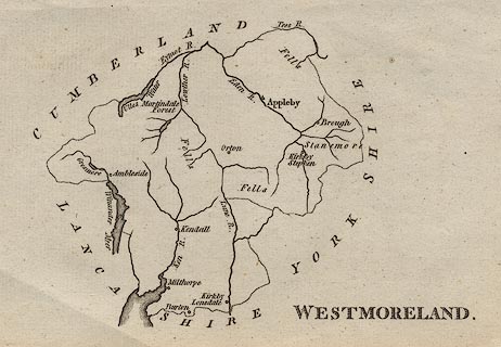
placename:- Kirkby Lonsdale
 click to enlarge
AIK2.jpg
"Kirkby Lonsdale"
circle; town
item:- JandMN : 51
Image © see bottom of page
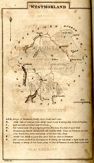
placename:- Kirby Lonsdale
 click to enlarge
BY05.jpg
"Kirby Lonsdale"
group of blocks; town
item:- Armitt Library : A680.3
Image © see bottom of page
placename:- Kirkby Lonsdale
 goto source
 click to enlarge
C38333.jpg
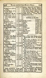
page 333-334 "Kirkby Lonsdale - Cross"
market town, post office "INNS. ... Kirkby Lonsdale, Rose and Crown, Royal Oak. ..."
item:- JandMN : 228.1
Image © see bottom of page
placename:- Kirkby Lonsdale
 goto source
 click to enlarge
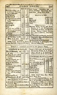
C38795.jpg
page 795-796 "to Kirkby Lonsdale, as p.333"
market town, post office
item:- JandMN : 228.2
Image © see bottom of page
placename:- Kirkby Lonsdale
 click to enlarge
GRA1Wd.jpg
"Kirkby Lonsdale / 255"
blocks, upright lowercase text; town, distance from London
item:- Hampshire Museums : FA2000.62.4
Image © see bottom of page
placename:- Kirkby Lonsdale
 click to enlarge
LUF4.jpg
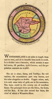
"Kirkby Lonsdale"
circle; town
item:- Dove Cottage : 2007.38.46
Image © see bottom of page
placename:- Kirkby Lonsdale
 click to enlarge
Lw18.jpg
"Kirkby Lonsdale 252½"
market town; distance from London; travellers supplied with post horses or carriages
item:- private collection : 18.18
Image © see bottom of page
placename:- Kirkby Lonsdale
 click to enlarge
Lw21.jpg
"Kirkby Lonsdale 252"
market town; distance from London; travellers supplied with post horses or carriages
item:- private collection : 18.21
Image © see bottom of page
placename:- Kirkby Lonsdale
item:- population; market; fair; placename, Kirkby Lonsdale
 goto source
"..."
"KIRKBY LONSDALE, a market-town and parish in Lonsdale ward, Westmoreland, 12 miles from Kendal, and 251 from London, pleasantly seated in a valley; and containing 254 houses and 1283 inhabitants, of whom 781 were returned as employed in various trades. It is supposed to have been named from Kirby or Kirkby, bishop of Carlisle, who routed the Scots here in their incursions, and was a native of the town. It is a neat place, and next to Kendal, the largest in the county. The houses are covered with slate. The church is a noble structure, ... Here is a bridge of freestone of three arches founded on a rock over the river Lune, ... The market is on Thursday, and is well supplied with all kinds of provisions. Fairs 9th and 30th of May for cattle, and 21st December chiefly for cloth. The living is a vicarage, value 20l. 15s. 2d. in the patronage of Trinity college, Cambridge. - Housman's Tour."
"..."
placename:- Kirby Lonsdale
 click to enlarge
COP4.jpg
"Kirby Lonsdale"
circle with two side bars; town
item:- Dove Cottage : 2007.38.53
Image © see bottom of page
placename:- Kirkby Lonsdale
 click to enlarge
WAL5.jpg
"Kirkby Lonsdale / 255"
town; distance from London
item:- JandMN : 63
Image © see bottom of page
placename:- Kirkby Lonsdale
"PRINCIPAL INNS, RECOMMENDED TO TRAVELLERS AND FAMILIES."
"Kirby Lonsdale: Rose and Crown."
"..."
"PRINCIPAL FAIRS."
"Kirby Lonsdale: Holy Thursday, horned cattle; Dec. 21, woollen cloth."
placename:- Kirkby Lonsdale
 click to enlarge
HA18.jpg
"Kirkby Lonsdale / 292"
circle, upright lowercase text; town; distance from London
item:- Armitt Library : 2008.14.58
Image © see bottom of page
 goto source
Page 173:- "... Whittaker: '... Kirkby Lonsdale. The soft and luxuriant beauties of this place - terminated by the Howgill Fells, a group of mountains of striking form, though inferior to Ingleborough - are scarcely to be surpassed: and he who would wish for a happier combination of river, meadow, and indigenous wood of the richest growth, than that which appears beneath the celebrated Terrace of this place,[1] might have cause to lament that his taste was too fastidious to admit of any gratification from landscape."
"[1] The bank of Lune, leading from the Church-yard towards Underley."
 goto source
Page 180:- "KIRKBY LONSDALE contains about 1300 inhabitants.[1] It was formerly, as its name implies, the Kirk or Church Town of Lunesdale. it possesses a too"
"[1] By the census of 1841, 1260."
 goto source
Page 181:- "spacious market-place, the eastern end of which is ornamented by the Saving's Bank, an edifice in the Grecian style of architecture, just finished, from the designs of a Westmorland architect - Mr. Thompson. The only ancient building of importance is the Church. ..."
placename:- Kirkby
placename:- Kirkby Burton
 click to enlarge
PER2.jpg
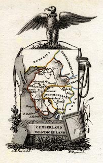
"Kirkby"
circle; town; or mistakenly "Kirkby Burton"
item:- Dove Cottage : 2007.38.45
Image © see bottom of page
placename:- Kirkby Lonsdale
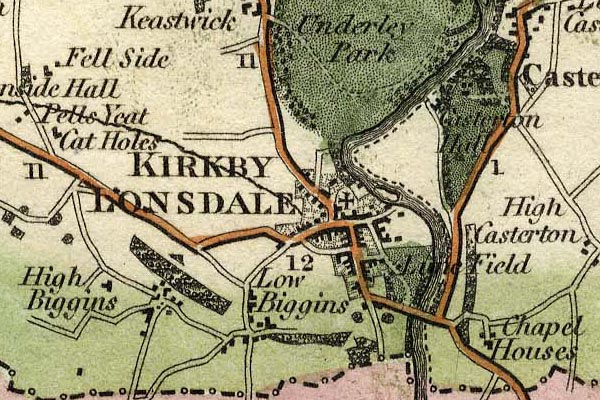
grw5krbl.jpg
"KIRKBY LONSDALE"
street map; labelled in block caps for a market twon.
item:- Armitt Library : A1827
Image © see bottom of page
placename:- Kirby Lonsdale
 click to enlarge
COB4.jpg
"Kirby Lonsdale"
dot and circle; town
item:- JandMN : 116
Image © see bottom of page
placename:- Kirkby Lonsdale
item:- population, Kirkby Lonsdale; market day
 goto source
Page 154:- ".."
"Kirkby-Lonsdale.- A small market-town, agreeably placed on the west bank of the Lune, lying near the verge of Lancashire, and within a few miles of Yorkshire. The churchyard is celebrated for the fine views which it commands of the valley. ... The mills are singularly situated, and are used for different purposes. Although the town has not been much increased, it is still, in importance, the third town in Westmorland. Popu-"
 goto source
Page 154:- "[popu]lation, 1686; market-day, Thursday; inn, Rose and Crown, and The Dragon."
placename:- Kirkby Lonsdale
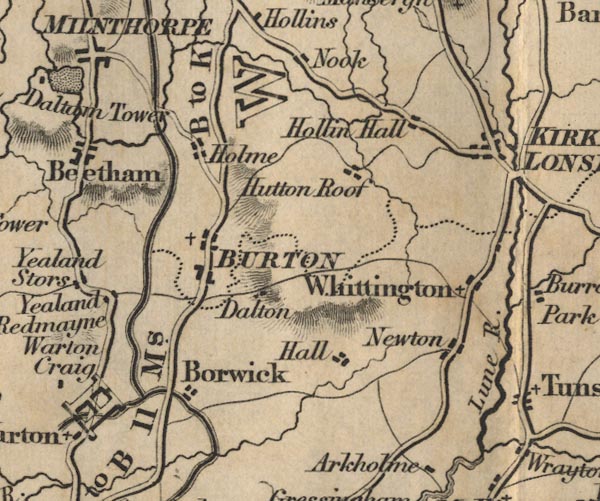
FD02SD57.jpg
"KIRKBY LONSDALE"
item:- JandMN : 100.1
Image © see bottom of page
placename:- Kirkby Lonsdale
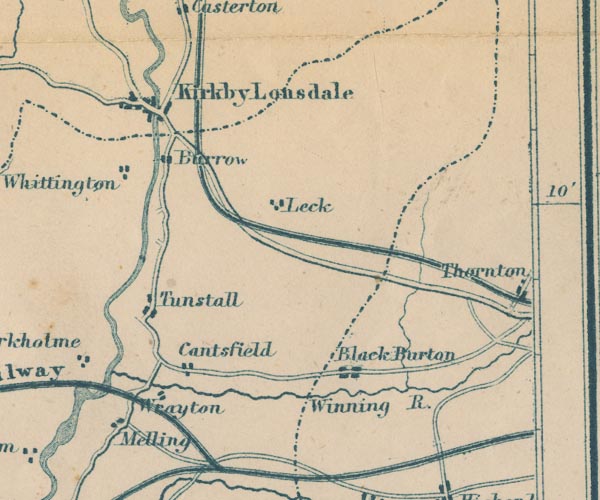
GAR2SD67.jpg
"Kirkby Lonsdale"
blocks, settlement, on a minimal street plan
item:- JandMN : 82.1
Image © see bottom of page
placename:- Kirkby Lonsdale
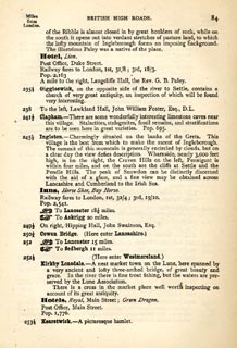 click to enlarge
TLY184.jpg
pp.71-91 in British High Roads, North and North Eastern Routes; pp.84-91.
printed at p.71:- "... / ROUTE VII. - LONDON to WHTEHAVEN via THE LAKE / DISTRICTS. (See Maps 65 to 80.) / Hitchin (as per Route I.) 34, Shefford 41, Bedford 50, Higham-Ferrers, / 64¾, Kettering 74½, Rockingham 83¼, Uppingham 88¾, Oakham, / 94¾, Melton Mowbray 104¾, Nottingham 123¼, Rotherham 159¼, / Barnsley 171¾, Huddersfield 188¾, Halifax 196¾, Keighley 208¾, / Skipton 218¾, Settle 234¾, Kirkby Lonsdale 252½, Kendal 264½, / Ambleside 278½, Keswick 293½, Cockermouth 305½, Whitehaven / 319½. / ..."
item:- private collection : 270.2
Image © see bottom of page
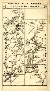
placename:- Kirkby Lonsdale
 click to enlarge
TLY1M4.jpg
Map pp.77-78 in British High Roads, North and North Eastern Routes.
printed at top:- "BRITISH HIGH ROADS / 77 LONDON TO WHITEHAVEN. 78"
item:- private collection : 270.6
Image © see bottom of page
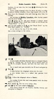
placename:- Kirkby Lonsdale
 click to enlarge
JS5056.jpg
pp.49-56 in the road book, Roads Made Easy by Picture and Pen, vol.3.
printed at beginning, p.49:- "ROUTE 39. / DONCASTER, via Ferrybridge, Collingham (31¼), Otley (44¾), Ilkley (50¾), Skipton (59¾), Hellifield (69¼), Ingleton (87), Kirkby Lonsdale (92¾), Kendal (104), Carlisle (149½) to GLASGOW (244¼)"
item:- private collection : 268.6
Image © see bottom of page
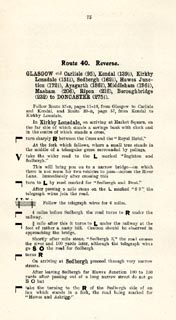
placename:- Kirkby Lonsdale
 click to enlarge
JS5075.jpg
pp.75-80 in the road book, Roads Made Easy by Picture and Pen, vol.3.
printed at beginning, p.75:- "ROUTE 40. Reverse. / GLASGOW via Carlisle (95), Kendal (139½), Kirkby Lonsdale (151½), Sedbergh (162¼), Hawes Junction (172½), Aysgarth (186¾), Middleham (196¼), Masham (206), Ripon (216), Boroughbridge (232) to DONCASTER (275½)."
item:- private collection : 268.9
Image © see bottom of page
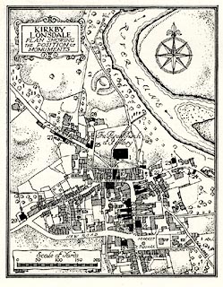 click to enlarge
HMW088.jpg
On p.138 of the Inventory of the Historical Monuments in Westmorland.
printed, upper left "KIRKBY / LONSDALE / PLAN SHOWING / THE POSITION OF / MONUMENTS"
item:- Armitt Library : A745.88
Image © see bottom of page
item:- market
 Post Office maps
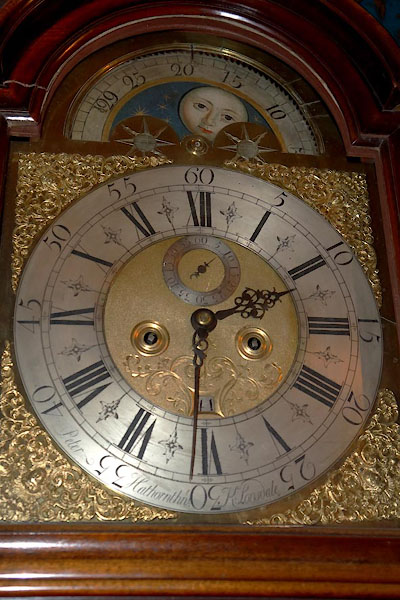
BZW24.jpg Brass dial of a longcase clock by:-
"Peter Hathornthwt. K. Lonsdale" Peter Haythornthwaite, clockmaker, Kirkby Lonsdale
courtesy of the Museum of Lakeland Life
When never a man was slain;
They yat their meat, and drunk their Drink
And sae kom merrily hame again."
: Austin, Hubert J
: Paley, Henry A
: Austin, Hubert J
: Paley, Henry A
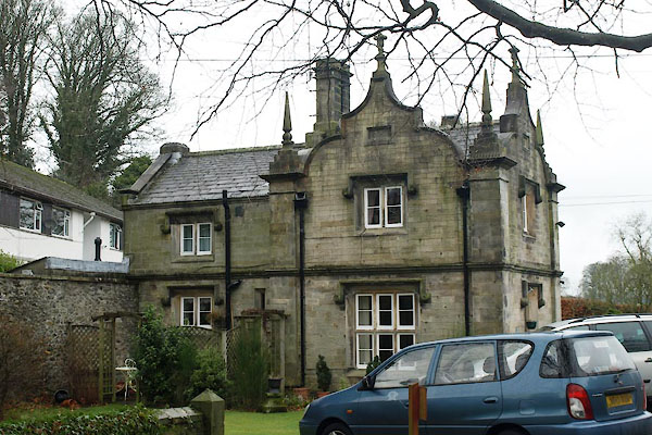 |
SD60967891 Abbeyfield Lodge (Kirkby Lonsdale) L |
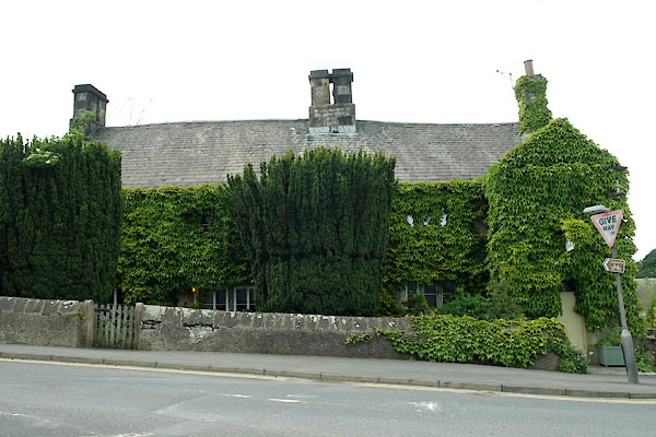 |
SD60897868 Abbot Hall Farm (Kirkby Lonsdale) L |
 |
SD61637855 Beanthwaite Well (Kirkby Lonsdale) |
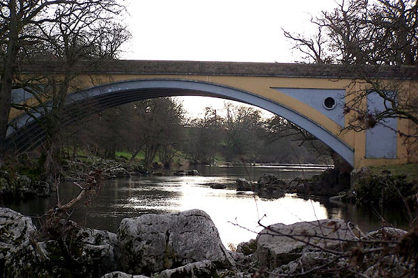 |
SD61677810 bridge, Kirkby Lonsdale (Kirkby Lonsdale / Casterton) |
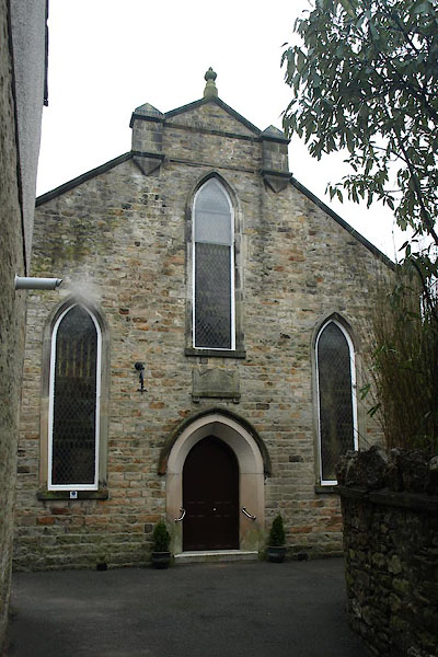 |
SD61007881 chapel, Kirkby Lonsdale (Kirkby Lonsdale) |
 |
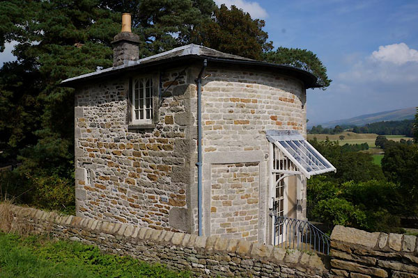
SD61237868 chapel, Kirkby Lonsdale (2) (Kirkby Lonsdale) |
 |
SD61157889 Church Brow Cottage (Kirkby Lonsdale) L |
 |
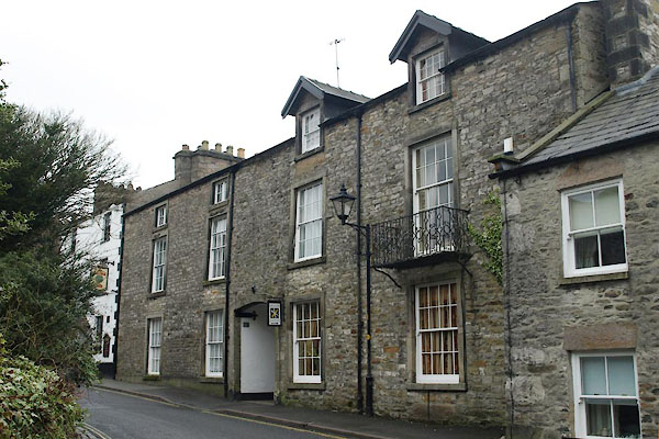
SD61087898 Cockpit Hill (Kirkby Lonsdale) |
 |
SD61037885 Courtyard, The (Kirkby Lonsdale) L |
 |
SD60817874 Cressbrook (Kirkby Lonsdale) |
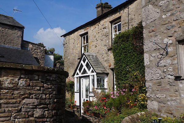 |
SD61167879 Cross Cottage (Kirkby Lonsdale) L |
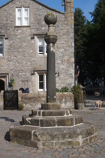 |
SD61187877 cross, Kirkby Lonsdale (Kirkby Lonsdale) L |
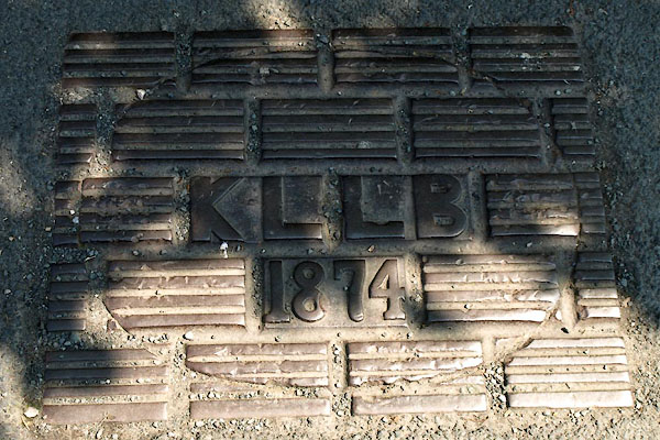 |
SD61297860 drain, Kirkby Lonsdale (Kirkby Lonsdale) |
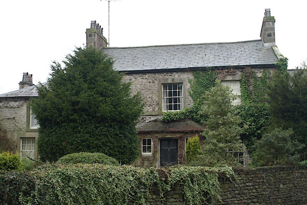 |
SD61027883 Fairbank Cottage (Kirkby Lonsdale) L |
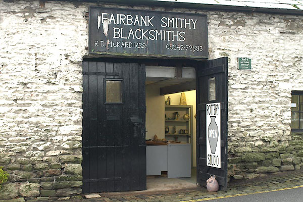 |
SD60977887 Graham Glynn Ceramics (Kirkby Lonsdale) |
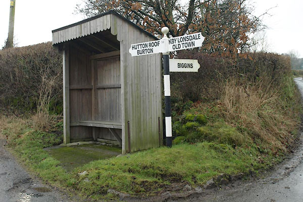 |
SD60457810 fingerpost, Biggins (Kirkby Lonsdale) |
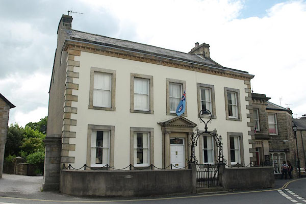 |
SD61057876 Fountain House (Kirkby Lonsdale) L |
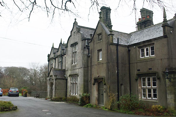 |
SD60997890 Gables, The (Kirkby Lonsdale) L |
 |
SD61287880 gas works, Kirkby Lonsdale (Kirkby Lonsdale) gone |
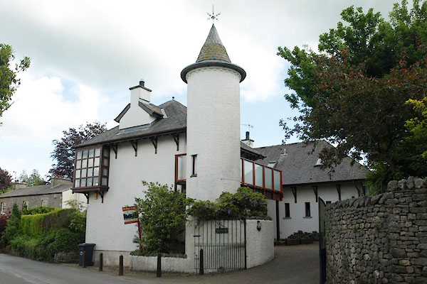 |
SD60807865 Greystones (Kirkby Lonsdale) |
 |
SD61297828 House of Recovery (Kirkby Lonsdale) |
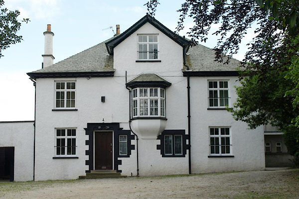 |
SD60847862 house, Kirkby Lonsdale (Kirkby Lonsdale) |
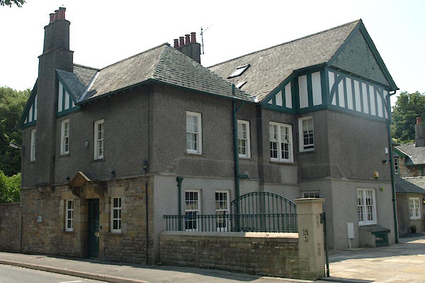 |
SD61217843 Green Close (Kirkby Lonsdale) |
 |
SD6178 inn, Kirkby Lonsdale (Kirkby Lonsdale) |
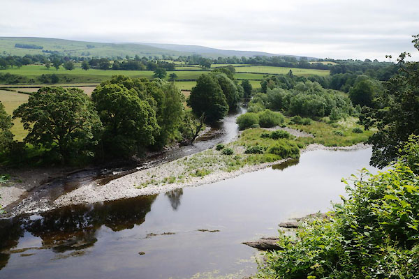 |
SD61387885 Island, The (Kirkby Lonsdale) |
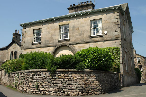 |
SD61277862 Jingling End (Kirkby Lonsdale) L |
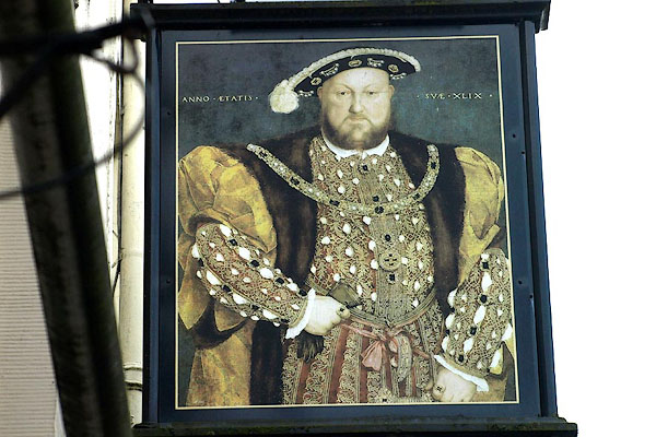 |
SD61097875 Kings Arms Hotel (Kirkby Lonsdale) L |
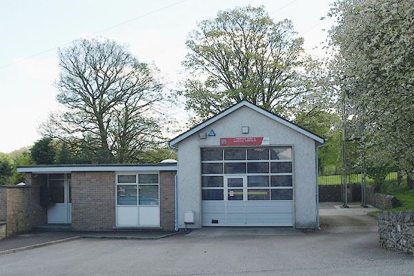 |
SD61027863 Kirkby Lonsdale Fire Station (Kirkby Lonsdale) |
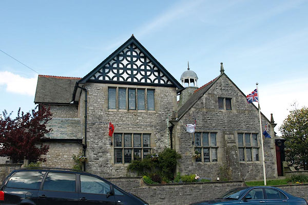 |
SD61027864 Kirkby Lonsdale Institute (Kirkby Lonsdale) |
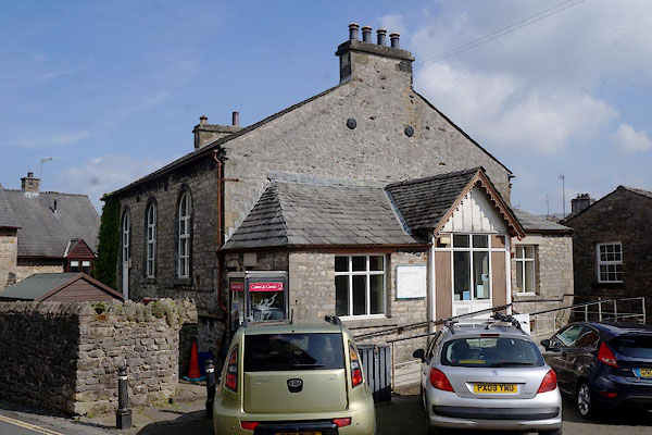 |
SD61097867 Kirkby Lonsdale Library (Kirkby Lonsdale) L |
 |
SD61397847 Back Lane (Kirkby Lonsdale) |
 |
SD61067876 Beck Head (Kirkby Lonsdale) |
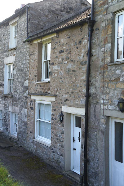 |
SD61087878 Kirkby Lonsdale: Beck Head, 1 (Kirkby Lonsdale) L |
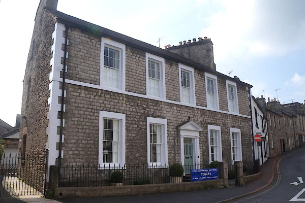 |
SD61067873 Kirkby Lonsdale: Beck Head, 2 and 4 (Kirkby Lonsdale) L |
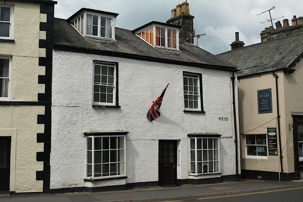 |
SD61087878 Kirkby Lonsdale: Beck Head, 3 (Kirkby Lonsdale) L |
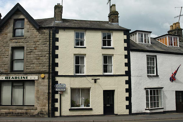 |
SD61077877 Kirkby Lonsdale: Beck Head, 5 (Kirkby Lonsdale) L |
 |
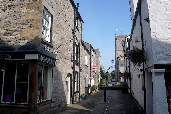
SD61097878 Church Lane (Kirkby Lonsdale) |
 |
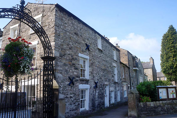
SD61097878 Church Street (Kirkby Lonsdale) |
 |
SD61097878 Cherkeby Cottages (Kirkby Lonsdale) L |
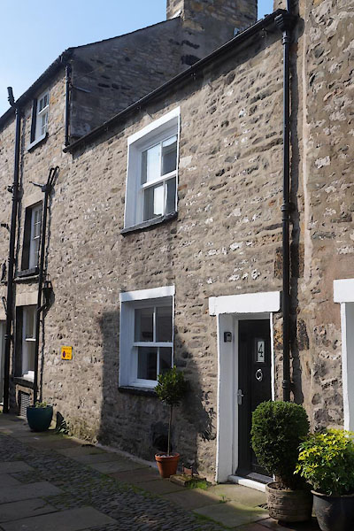 |
SD61097877 Kirkby Lonsdale: Church Street, 4 (Kirkby Lonsdale) L |
 |
SD61177878 Coal Market (Kirkby Lonsdale) |
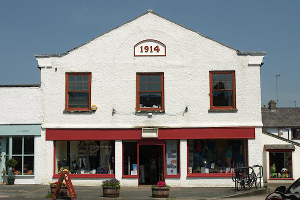 |
SD61197863 Edge of the World (Kirkby Lonsdale) |
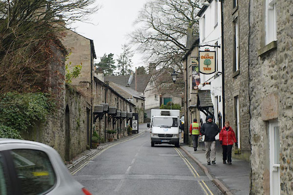 |
SD60937890 Fairbank (Kirkby Lonsdale) |
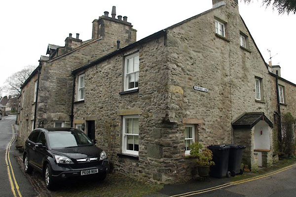 |
SD61057883 Kirkby Lonsdale: Fairbank, 1 (Kirkby Lonsdale) L |
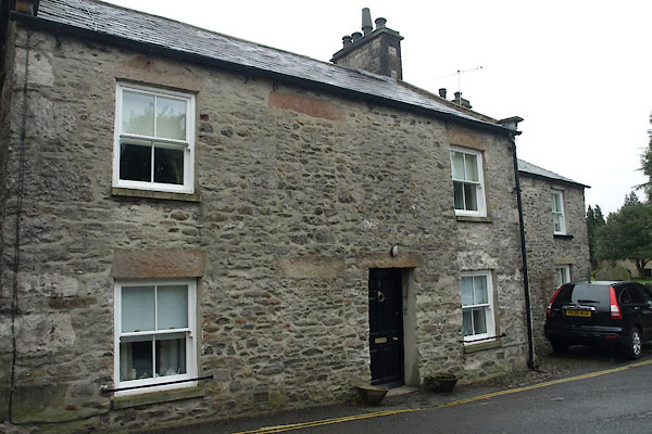 |
SD61047884 Kirkby Lonsdale: Fairbank, 3 (Kirkby Lonsdale) L |
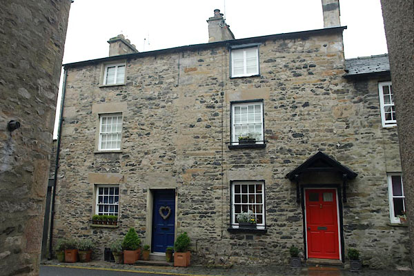 |
SD61007885 Kirkby Lonsdale: Fairbank, 4 and 6 (Kirkby Lonsdale) L |
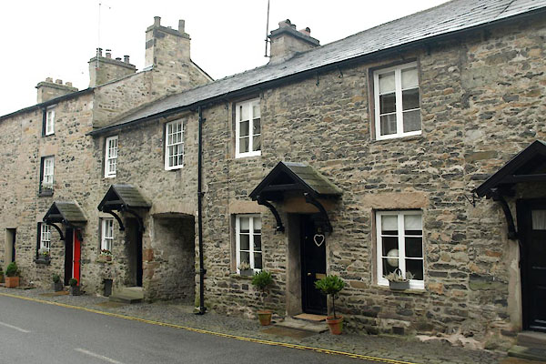 |
SD60997885 Kirkby Lonsdale: Fairbank, 8 and 12 (Kirkby Lonsdale) L |
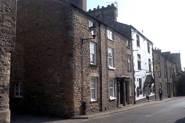 |
SD61017886 Kirkby Lonsdale: Fairbank, 11 (Kirkby Lonsdale) L |
 |
SD61007886 Kirkby Lonsdale: Fairbank, 13 (Kirkby Lonsdale) L |
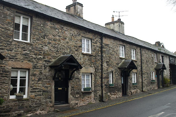 |
SD60987886 Kirkby Lonsdale: Fairbank, 14 and 16 (Kirkby Lonsdale) L |
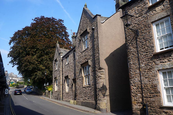 |
SD61007886 Kirkby Lonsdale: Fairbank, 15 (Kirkby Lonsdale) L |
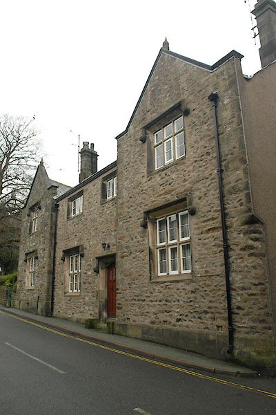 |
SD60997887 Kirkby Lonsdale: Fairbank, 17 and 19 (Kirkby Lonsdale) L |
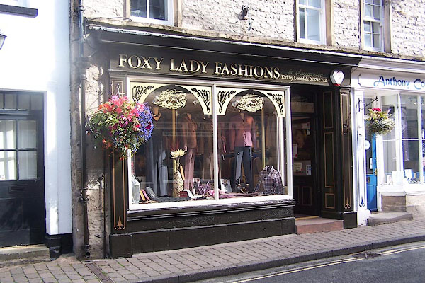 |
SD61097877 Foxy Lady Fashions (Kirkby Lonsdale) |
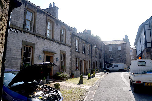 |
SD61217873 Horse Market (Kirkby Lonsdale) |
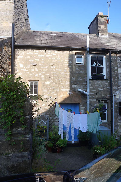 |
SD61207876 Kirkby Lonsdale: Horse Market, 2 (Kirkby Lonsdale) L |
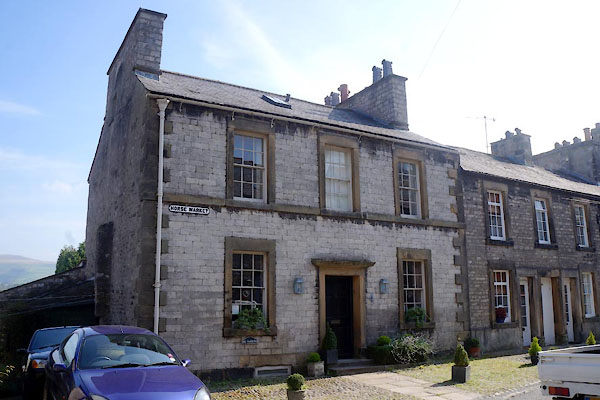 |
SD61217875 Kirkby Lonsdale: Horse Market, 4 (Kirkby Lonsdale) L |
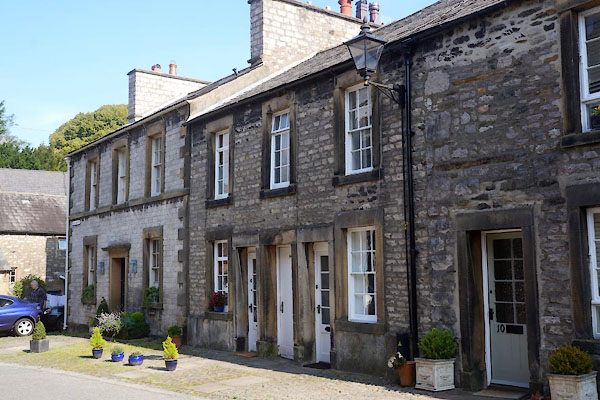 |
SD61217874 Kirkby Lonsdale: Horse Market, 6 to 8 (Kirkby Lonsdale) L |
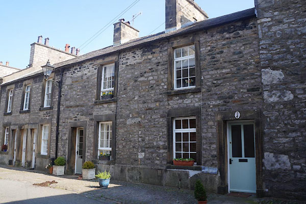 |
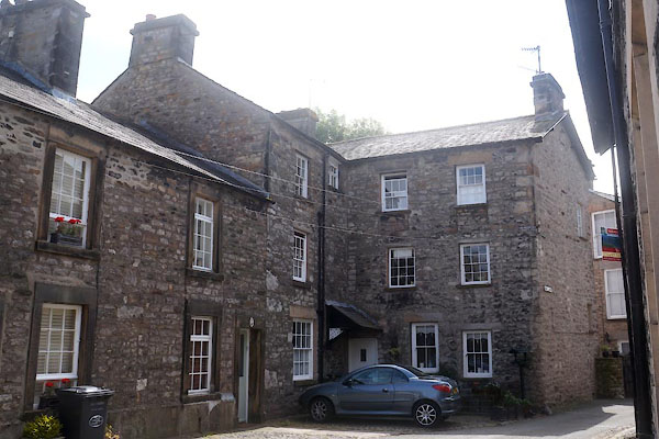
SD61227874 Kirkby Lonsdale: Horse Market, 10 to 12 (Kirkby Lonsdale) L |
 |
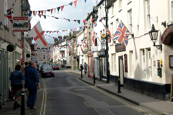
SD61227873 Kirkby Lonsdale: Horse Market, 14 to 16 (Kirkby Lonsdale) L |
 |
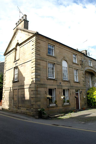
SD61167857 Main Street (Kirkby Lonsdale) |
 |
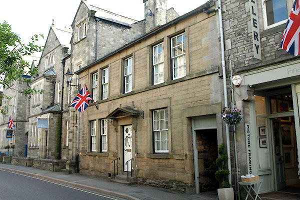
SD61187854 Kirkby Lonsdale: Main Street, 9 (Kirkby Lonsdale) L |
 |
SD61167854 Kirkby Lonsdale: Main Street, 10 (Kirkby Lonsdale) L |
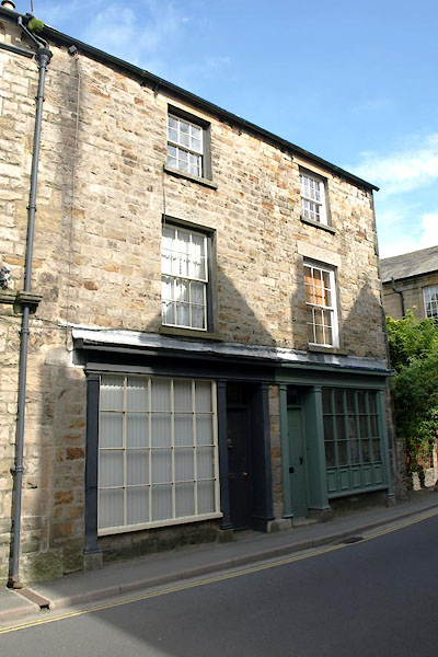 |
SD61177856 Kirkby Lonsdale: Main Street, 11 to 13 (Kirkby Lonsdale) L |
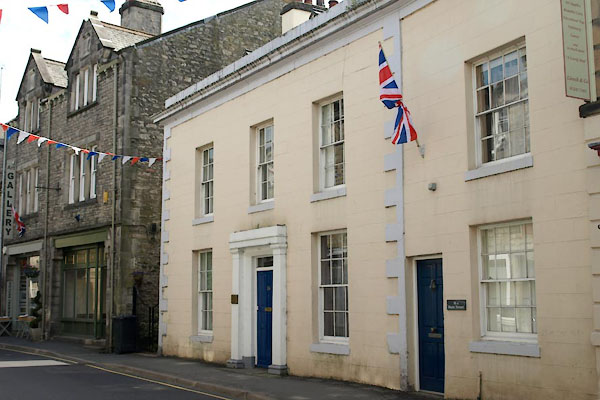 |
SD61157856 Kirkby Lonsdale: Main Street, 16 (Kirkby Lonsdale) L |
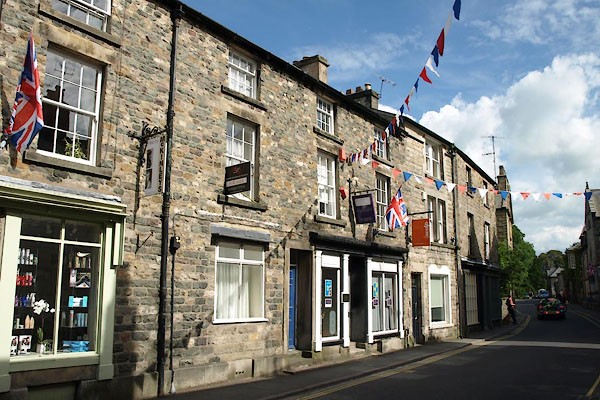 |
SD61177857 Kirkby Lonsdale: Main Street, 17 to 19 (Kirkby Lonsdale) L |
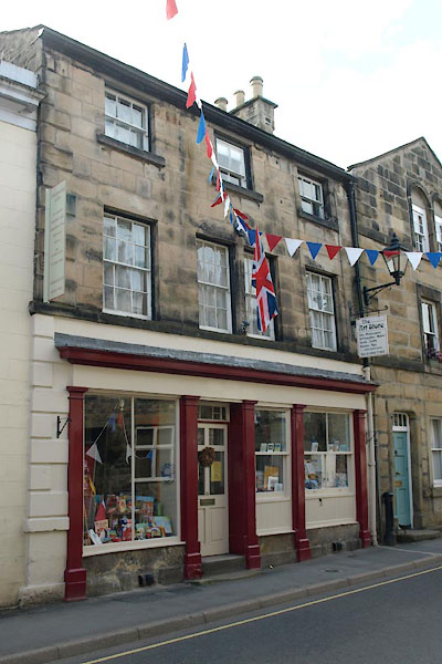 |
SD61157857 Kirkby Lonsdale: Main Street, 18 (Kirkby Lonsdale) L |
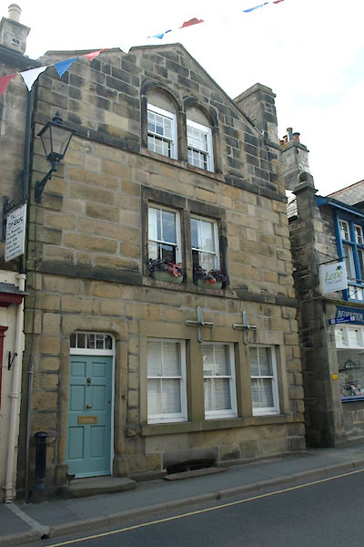 |
SD61157858 Kirkby Lonsdale: Main Street, 20 to 22 (Kirkby Lonsdale) L |
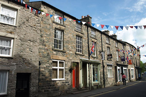 |
SD61177858 Kirkby Lonsdale: Main Street, 21 to 23 (Kirkby Lonsdale) L |
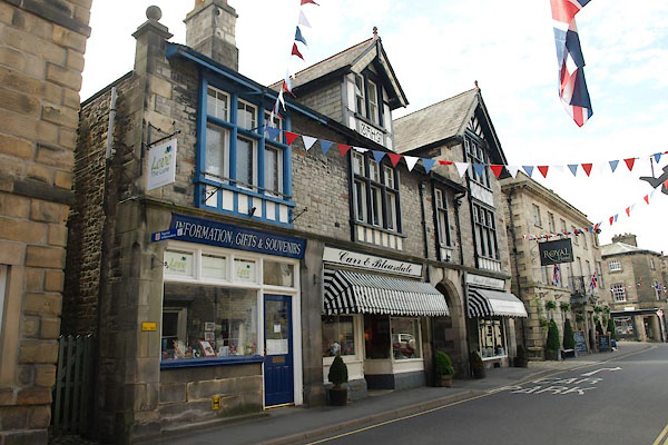 |
SD61147854 Kirkby Lonsdale: Main Street, 24 (Kirkby Lonsdale) |
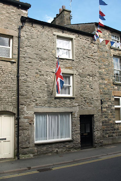 |
SD61167859 Kirkby Lonsdale: Main Street, 25 (Kirkby Lonsdale) L |
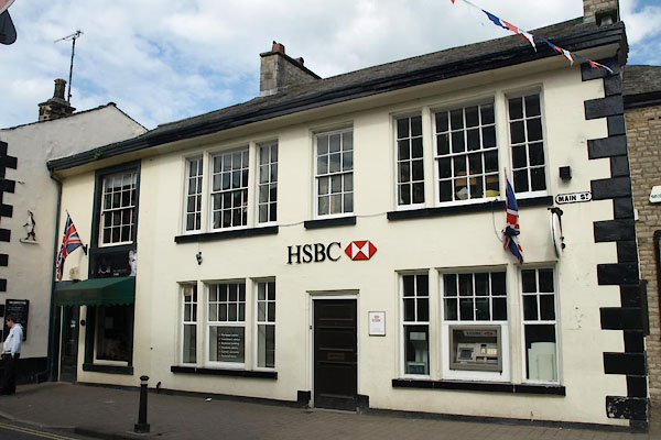 |
SD61167864 HSBC Bank (Kirkby Lonsdale) L |
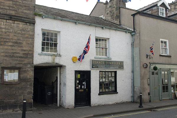 |
SD61147865 Isaacs Jeweller's (Kirkby Lonsdale) L |
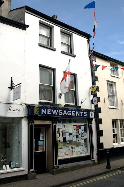 |
SD61157867 Papershop (Kirkby Lonsdale) L |
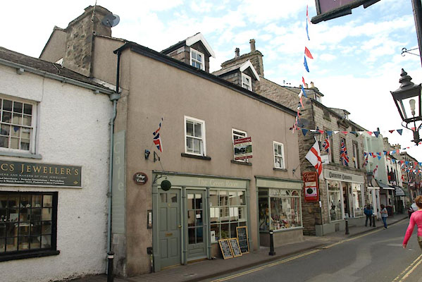 |
SD61147866 Green Room, The (Kirkby Lonsdale) L |
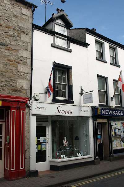 |
SD61167867 Sienna (Kirkby Lonsdale) L |
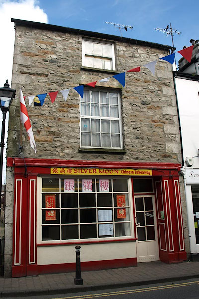 |
SD61157867 Silver Moon Chinese Takeaway (Kirkby Lonsdale) L |
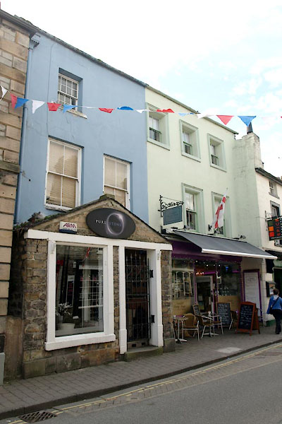 |
SD61147868 Kirkby Lonsdale: Main Street, 40 to 44 (Kirkby Lonsdale) L |
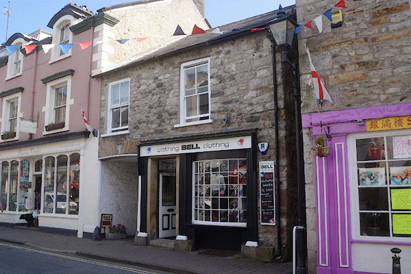 |
SD61167868 Bell clothing (Kirkby Lonsdale) L |
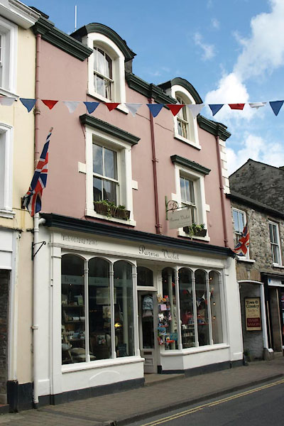 |
SD61167869 Parma Violet (Kirkby Lonsdale) L |
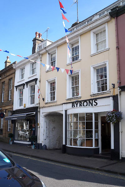 |
SD61177869 Byrons (Kirkby Lonsdale) L |
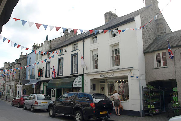 |
SD61147869 Kirkby Lonsdale: Main Street, 48 to 52 (Kirkby Lonsdale) L |
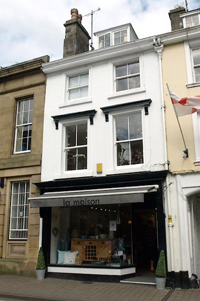 |
SD61167870 Maison, la (Kirkby Lonsdale) L |
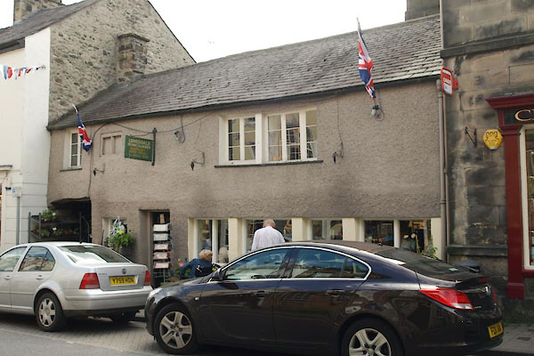 |
SD61147870 Lunesdale's (Kirkby Lonsdale) L |
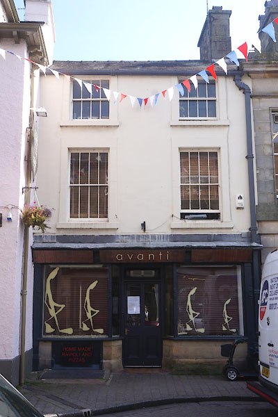 |
SD61167872 avanti (Kirkby Lonsdale) L |
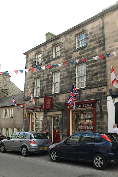 |
SD61147871 China Bull Emporium (Kirkby Lonsdale) L |
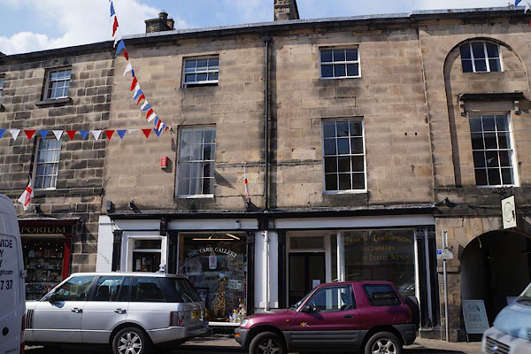 |
SD61147872 Card Gallery, The (Kirkby Lonsdale) L |
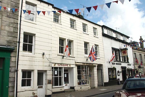 |
SD61157874 Kirkby Lonsdale: Main Street, 63 to 65 (Kirkby Lonsdale) L |
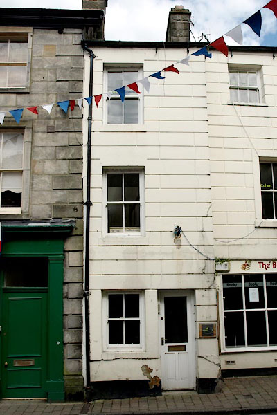 |
SD61157875 Kirkby Lonsdale: Main Street, 67 (Kirkby Lonsdale) L |
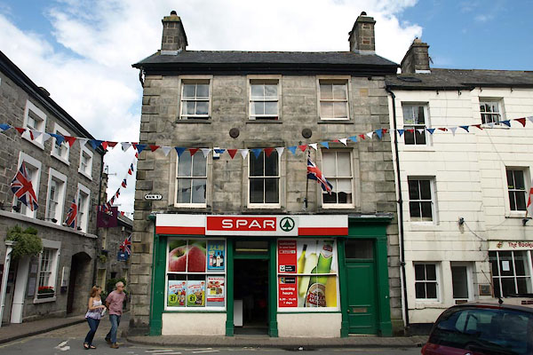 |
SD61167875 Spar (Kirkby Lonsdale) L |
 |
SD61177862 Market Place (Kirkby Lonsdale) |
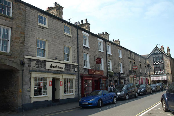 |
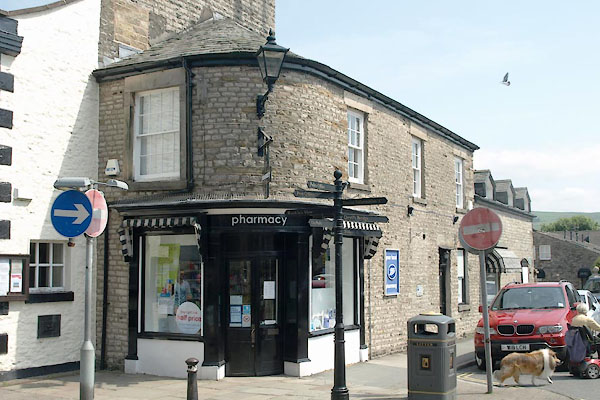
SD61187860 Kirkby Lonsdale: Market Square, 1 to 15 (Kirkby Lonsdale) L |
 |
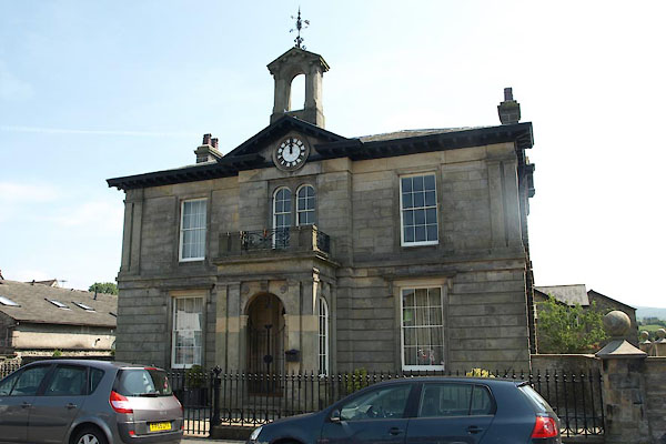
SD61167864 Kirkby Lonsdale: Market Square, 2 (Kirkby Lonsdale) L |
 |
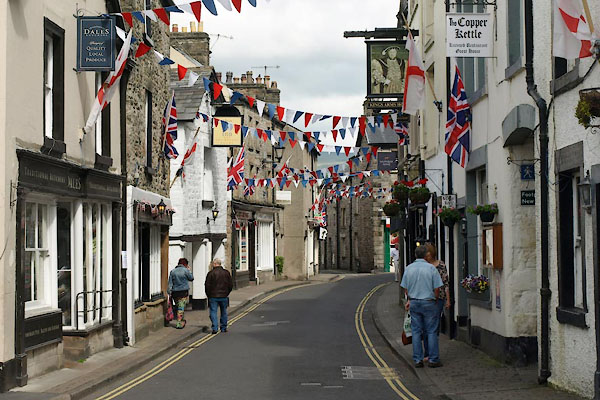
SD61217862 Trustee Savings Bank (Kirkby Lonsdale) L |
 |
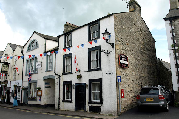
SD61097876 Market Street (Kirkby Lonsdale) |
 |
SD61087875 Kirkby Lonsdale: Market Street, 1 (Kirkby Lonsdale) L |
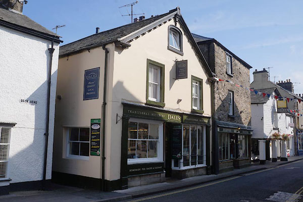 |
SD61097876 Dales Traditional Butchers (Kirkby Lonsdale) L |
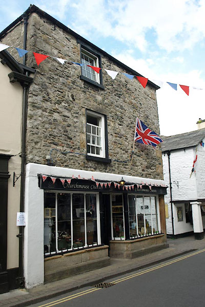 |
SD61097876 Churchmouse Cheeses (Kirkby Lonsdale) L |
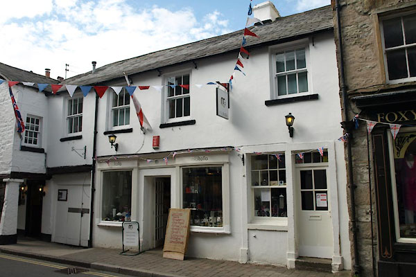 |
SD61117876 miaitalia (Kirkby Lonsdale) L |
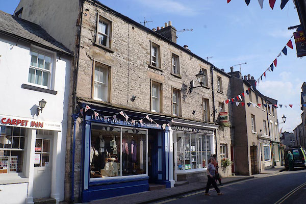 |
SD61127878 Foxy Lady Fashions (Kirkby Lonsdale) L |
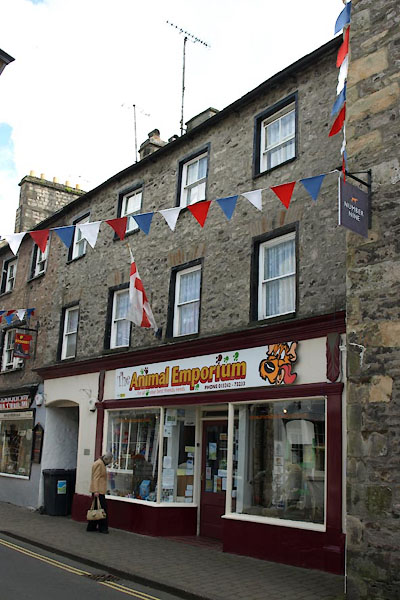 |
SD61117875 Animal Emporium (Kirkby Lonsdale) L |
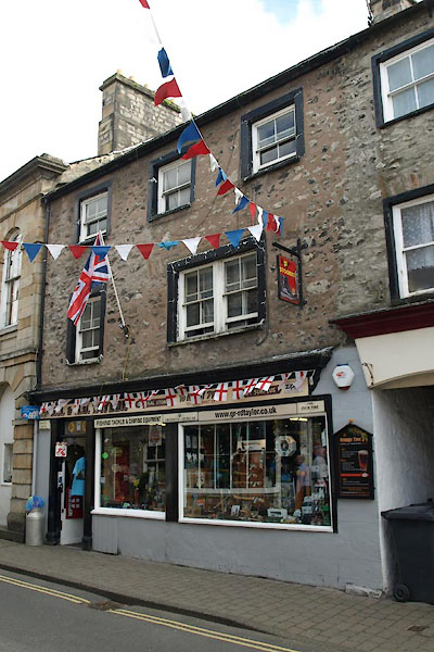 |
SD61127875 Kirkby Lonsdale: Market Street, 13 to 15 (Kirkby Lonsdale) L |
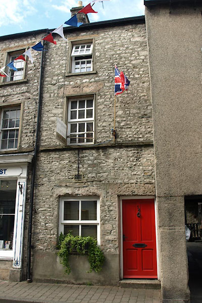 |
SD61137876 Kirkby Lonsdale: Market Street, 14 (Kirkby Lonsdale) L |
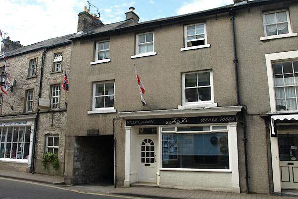 |
SD61137876 Kirkby Lonsdale: Market Street, 16 to 18 (Kirkby Lonsdale) L |
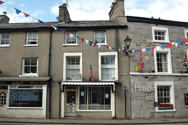 |
SD61147876 Kirkby Lonsdale: Market Street, 20 (Kirkby Lonsdale) L |
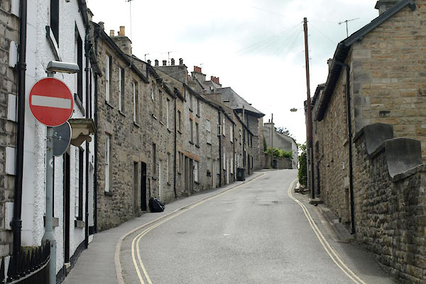 |
SD60997872 Mitchelgate (Kirkby Lonsdale) |
 |
SD61257879 Mill Brow (Kirkby Lonsdale) |
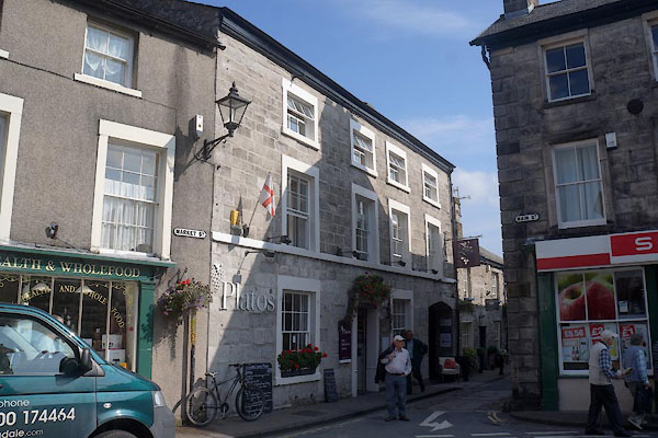 |
SD61147877 Plato's (Kirkby Lonsdale) L |
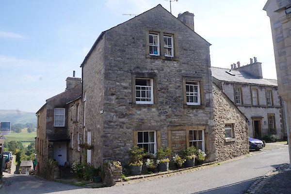 |
SD61207876 Kirkby Lonsdale: Mill Brow, 3 (Kirkby Lonsdale) L |
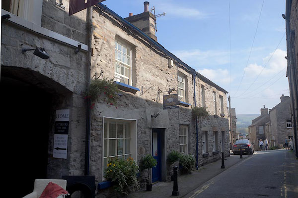 |
SD61167876 Blue Pig (Kirkby Lonsdale) L |
 |
SD61177876 Kirkby Lonsdale: Mill Brow, 6 (Kirkby Lonsdale) L |
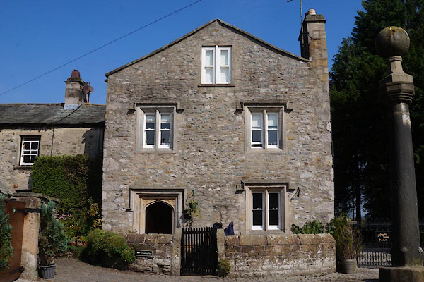 |
SD61177879 Abbots Brow (Kirkby Lonsdale) L |
 |
SD60967871 Mitchelgate (Kirkby Lonsdale) |
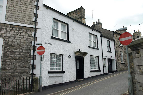 |
SD61057874 Old Bakery, The (Kirkby Lonsdale) L |
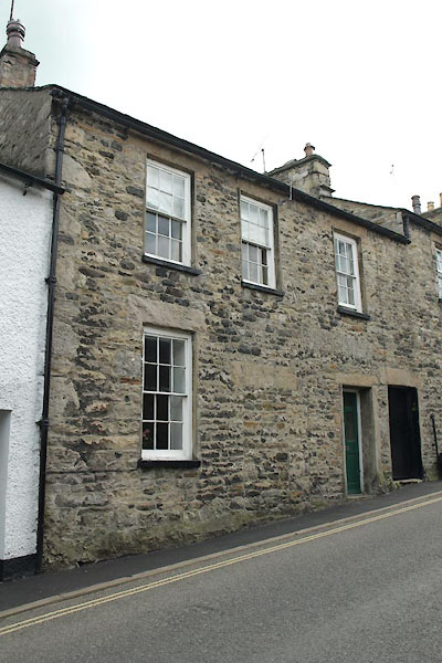 |
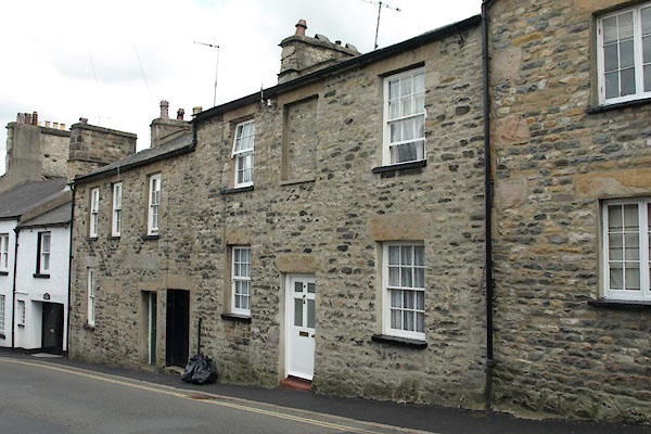
SD61047873 Kirkby Lonsdale: Mitchelgate, 4 (Kirkby Lonsdale) L |
 |
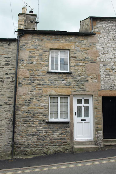
SD61047873 Kirkby Lonsdale: Mitchelgate, 6 and 8 (Kirkby Lonsdale) L |
 |
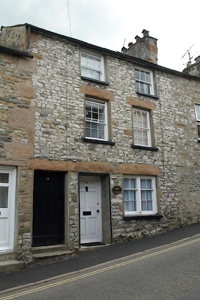
SD61037873 Kirkby Lonsdale: Mitchelgate, 10 (Kirkby Lonsdale) L |
 |
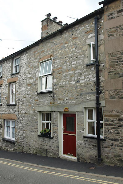
SD61037872 Kirkby Lonsdale: Mitchelgate, 14 (Kirkby Lonsdale) L |
 |
SD61027872 Kirkby Lonsdale: Mitchelgate, 16 (Kirkby Lonsdale) L |
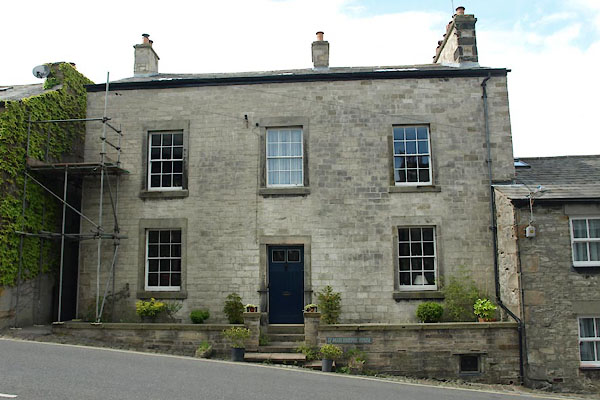 |
SD60997872 Marchbrook House (Kirkby Lonsdale) L |
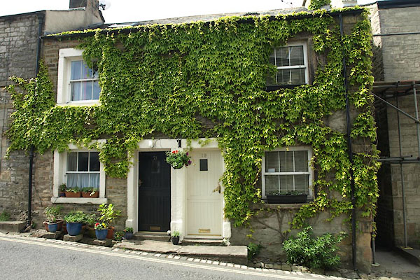 |
SD60987871 Kirkby Lonsdale: Mitchelgate, 19 and 21 (Kirkby Lonsdale) L |
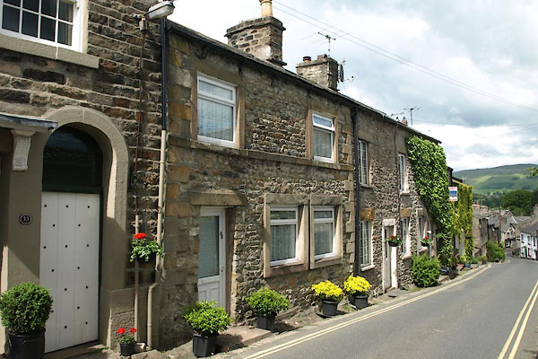 |
SD60957871 Kirkby Lonsdale: Mitchelgate, 31 (Kirkby Lonsdale) L |
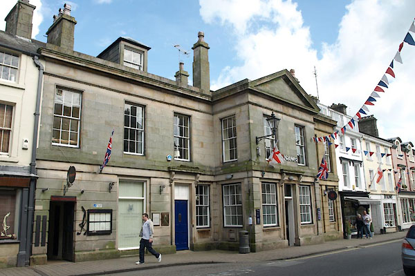 |
SD61157871 National Westminster Bank (Kirkby Lonsdale) L |
 |
SD60997863 New Road (Kirkby Lonsdale) |
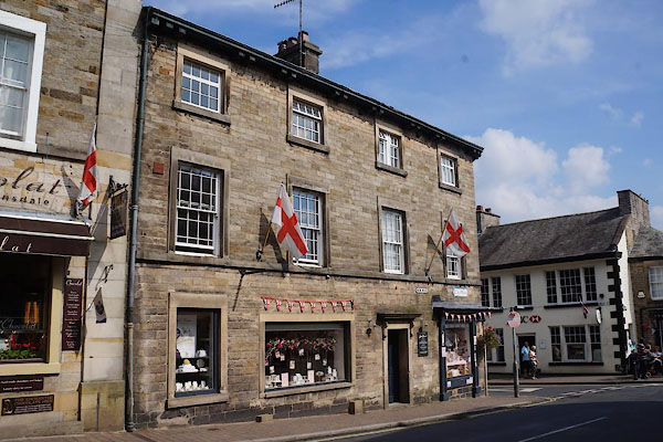 |
SD61147864 Kirkby Lonsdale: New Road, 1 (Kirkby Lonsdale) L |
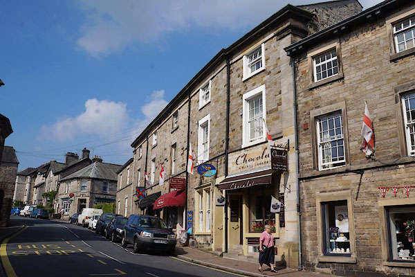 |
SD61127865 Kirkby Lonsdale: New Road, 3 to 11 (Kirkby Lonsdale) L |
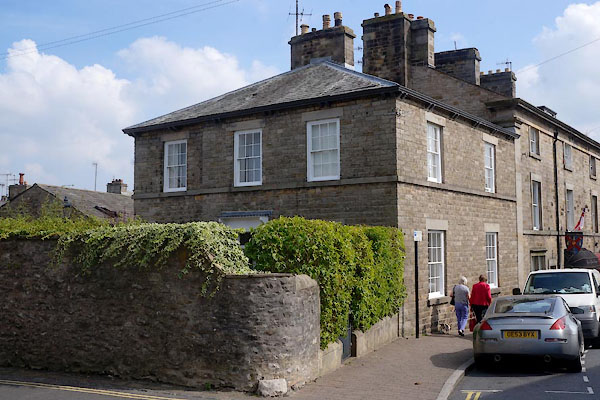 |
SD61107865 Kirkby Lonsdale: New Road, 13 (Kirkby Lonsdale) L |
 |
SD61047881 Queens Square (Kirkby Lonsdale) |
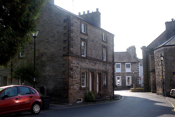 |
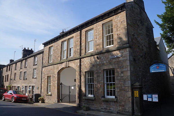
SD61067878 Kirkby Lonsdale: Queens Square, 5 and 7 (Kirkby Lonsdale) L |
 |
SD61047880 Kirkby Lonsdale: Queens Square, 12 (Kirkby Lonsdale) L |
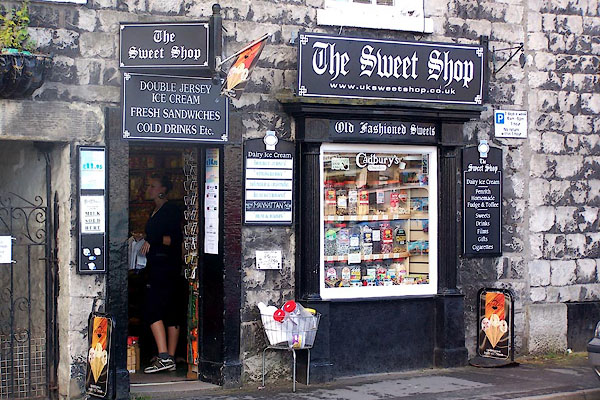 |
SD61187859 Sweet Shop, The (Kirkby Lonsdale) |
 |
SD61177878 Swine Market (Kirkby Lonsdale) |
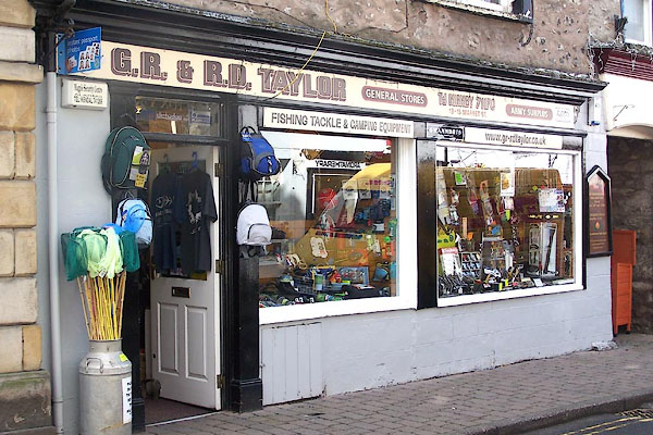 |
SD61107876 G R and R D Taylor (Kirkby Lonsdale) |
 |
SD61087856 Tram Lane (Kirkby Lonsdale) |
 |
SD61057885 Vicarage Lane (Kirkby Lonsdale) |
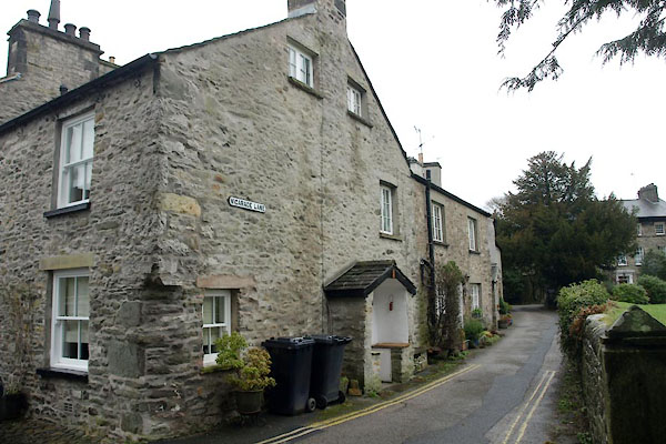 |
SD61057885 Kirkby Lonsdale: Vicarage Lane, 2 (Kirkby Lonsdale) |
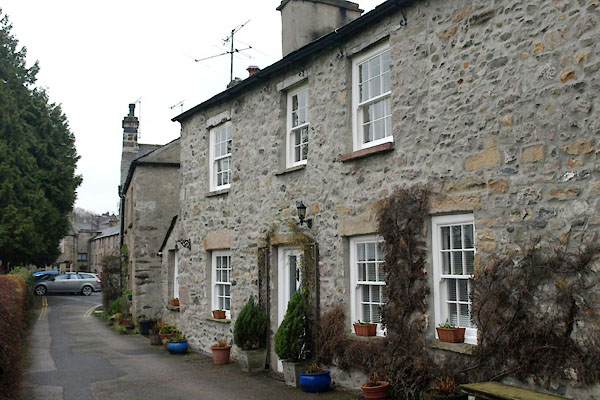 |
SD61057887 Kirkby Lonsdale: Vicarage Lane, 8 (Kirkby Lonsdale) L |
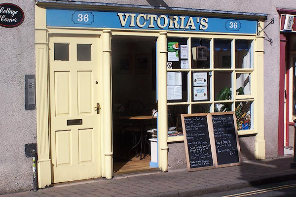 |
SD61157866 Victoria's (Kirkby Lonsdale) |
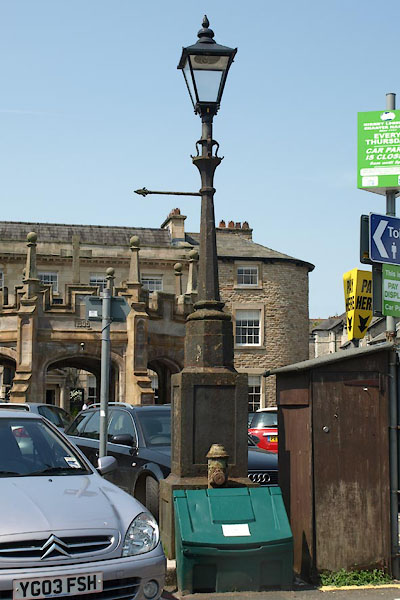 |
SD61197862 lamp post, Kirkby Lonsdale (Kirkby Lonsdale) |
 |
SD61167882 Lune Cottage (Kirkby Lonsdale) |
 |
SD61417855 Lunefield (Kirkby Lonsdale) |
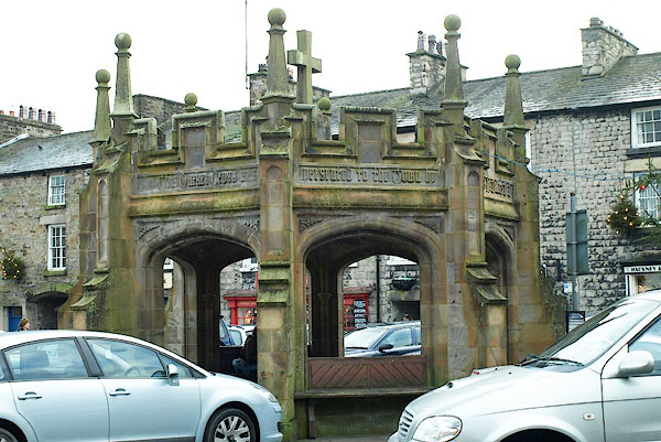 |
SD61167862 market cross, Kirkby Lonsdale (Kirkby Lonsdale) L |
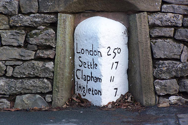 |
SD61207849 milestone, Kirkby Lonsdale (2) (Kirkby Lonsdale) L |
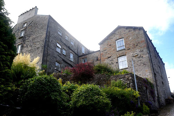 |
SD61257878 Mill Brow House (Kirkby Lonsdale) L |
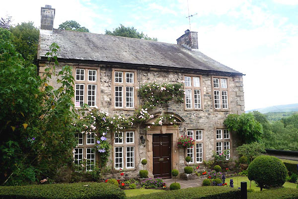 |
SD61247880 Old Manor House (Kirkby Lonsdale) L |
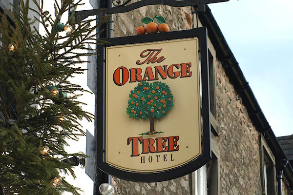 |
SD61027886 Orange Tree Hotel (Kirkby Lonsdale) L |
 |
SD613785 pillbox, Kirkby Lonsdale (Kirkby Lonsdale) |
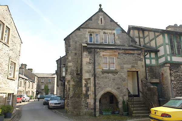 |
SD61197876 Kirkby Lonsdale Police Station (Kirkby Lonsdale) |
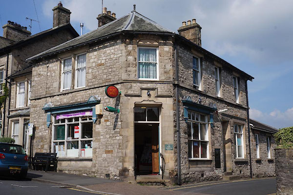 |
SD61077865 Kirkby Lonsdale Post Office (Kirkby Lonsdale) |
 |
SD61147876 race course, Kirkby Lonsdale (Kirkby Lonsdale) |
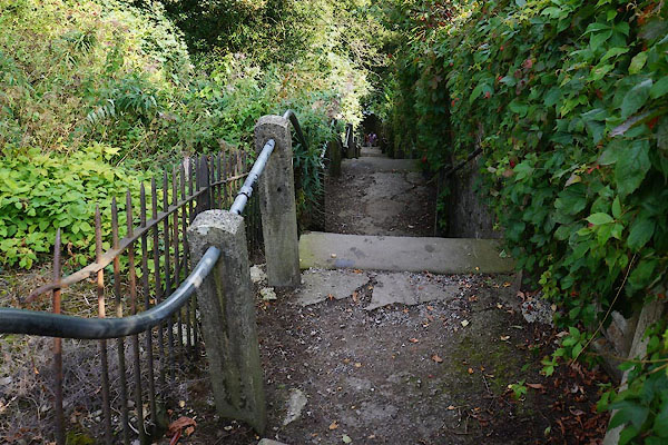 |
SD61167890 Radical Steps (Kirkby Lonsdale) |
 |
SD61137898 Radical Well (Kirkby Lonsdale) |
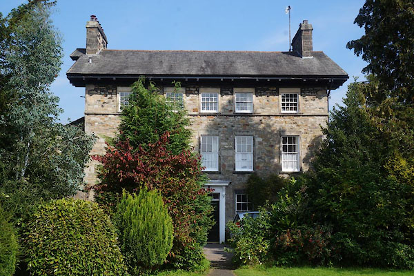 |
SD61077889 Rectory (Kirkby Lonsdale) L |
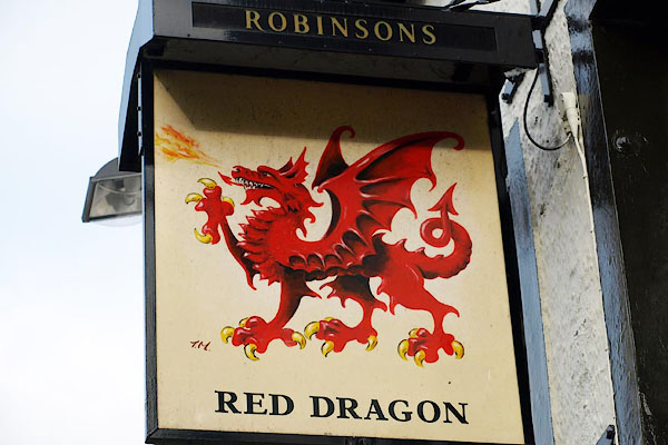 |
SD61157875 Red Dragon (Kirkby Lonsdale) L |
 |
SD6178 Rose and Crown (Kirkby Lonsdale) |
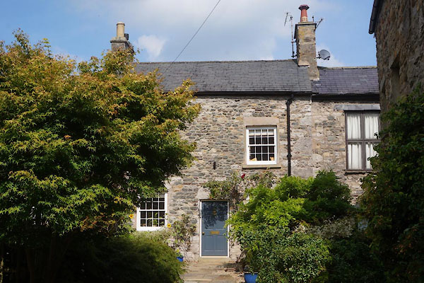 |
SD61117868 Rose Cottage (Kirkby Lonsdale) L |
 |
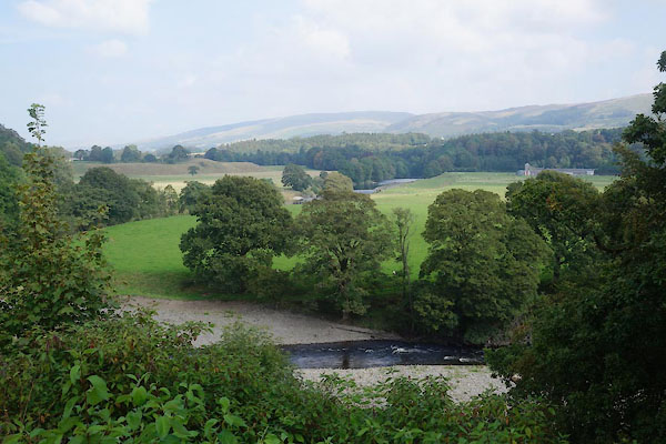
SD613783 Royal Oak (Kirkby Lonsdale) |
 |
SD61147892 Ruskin's View (Kirkby Lonsdale) |
 |
SD61117909 Sandybeds Hole (Kirkby Lonsdale / Casteron) |
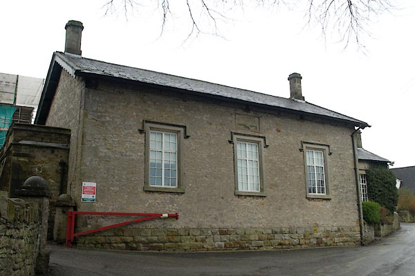 |
SD60697859 Quen Elizabeth School (Kirkby Lonsdale) L |
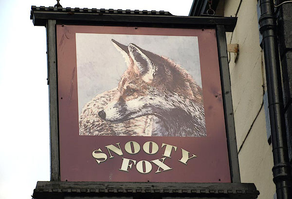 |
SD61157866 Snooty Fox (Kirkby Lonsdale) L |
 |
SD60667857 Springfield House (Kirkby Lonsdale) |
 |
SD61197841 summer house, Kirkby Lonsdale (Kirkby Lonsdale) L out of sight |
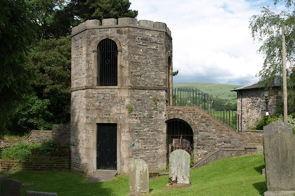 |
SD61137890 summer house, Kirkby Lonsdale (2) (Kirkby Lonsdale) |
 |
SD61097876 Sun Inn (Kirkby Lonsdale) L |
 |
SD61257882 tanyard, Kirkby Lonsdale (Kirkby Lonsdale) gone |
 |
SD61357876 tanyard, Kirkby Lonsdale (2) (Kirkby Lonsdale) gone |
 |
SD61267834 toll gate, Kirkby Lonsdale (Kirkby Lonsdale) suggestedgone |
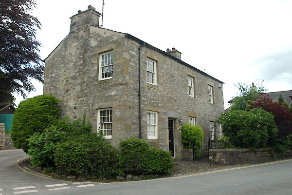 |
SD60827864 Tollgate Cottage (Kirkby Lonsdale) L |
 |
SD61187849 Town End House (Kirkby Lonsdale) L |
 |
SD61247840 Town End (Kirkby Lonsdale) |
 |
SD61117880 war memorial, Kirkby Lonsdale (Kirkby Lonsdale) |
 |
SD61197877 Weigh House (Kirkby Lonsdale) L |
 |
SD61557824 Devil's Bridge (Kirkby Lonsdale / Casterton) L |
 |
SD61177862 Market Square (Kirkby Lonsdale) |
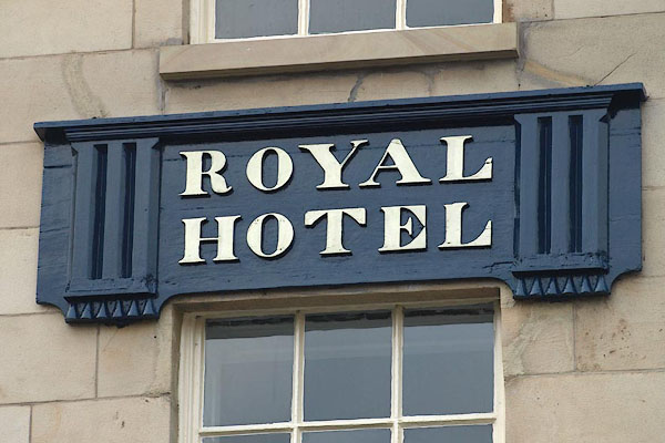 |
SD61147859 Royal Hotel (Kirkby Lonsdale) L |
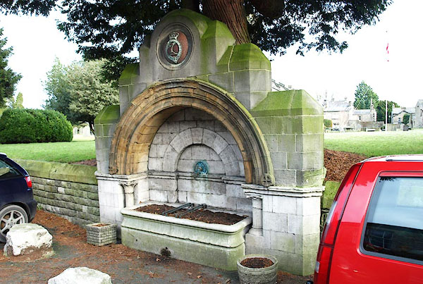 |
SD61057880 water trough, Kirkby Lonsdale (Kirkby Lonsdale) |
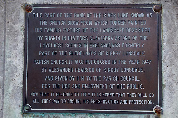 |
SD61127895 Church Brow (Kirkby Lonsdale) |
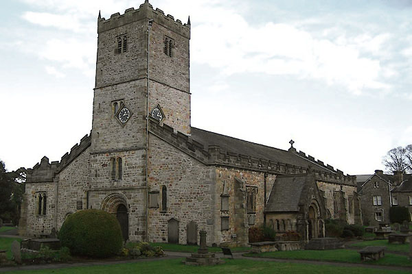 |
SD61127882 St Mary's Church (Kirkby Lonsdale) L |
