


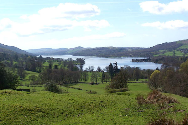
BLZ54.jpg From the road side on High Hollin Bank.
(taken 28.4.2006)
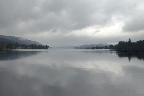
BSJ78.jpg From the head of the lake.
(taken 30.3.2010)
placename:- Coniston Water
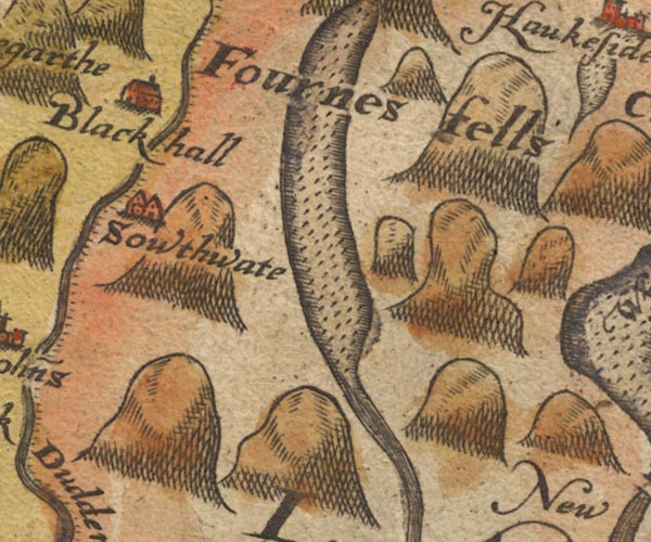
Sax9SD29.jpg
Lake.
item:- private collection : 2
Image © see bottom of page
placename:-
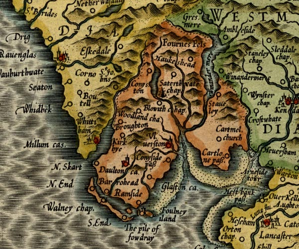
MER5LanA.jpg
""
outline, coast shaded, tinted blue; lake
item:- Armitt Library : 2008.14.3
Image © see bottom of page
 click to enlarge
KER8.jpg
""
outline, shaded; lake
item:- Dove Cottage : 2007.38.110
Image © see bottom of page
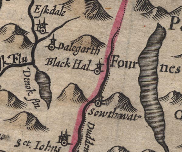
SP11SD29.jpg
outline, shaded; Lancashire
item:- private collection : 16
Image © see bottom of page
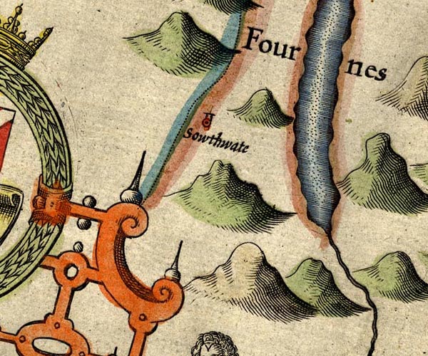
SP14SD29.jpg
outline, shore shaded, interior pecked
item:- Armitt Library : 2008.14.5
Image © see bottom of page
placename:- Thurstan mere
 goto source
page 136:- "...
Where those two mightie Meres, out-stretcht in length do wander,
The lesser Thurstan nam'd, the famouser Wynander,
..."
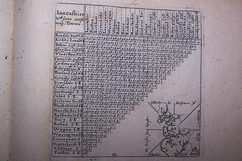 click to enlarge
SIM522.jpg
outline on thumbnail map?
item:- private collection : 50.22
Image © see bottom of page
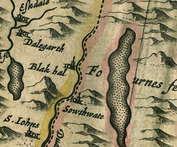
JAN3SD29.jpg
Outline with shore shaded, dotted area.
item:- JandMN : 88
Image © see bottom of page
 click to enlarge
SAN2Cm.jpg
outline, shore shaded; lake
item:- Dove Cottage : 2007.38.15
Image © see bottom of page
 click to enlarge
SEL7.jpg
outline with shaded shore; lake
item:- Dove Cottage : 2007.38.87
Image © see bottom of page
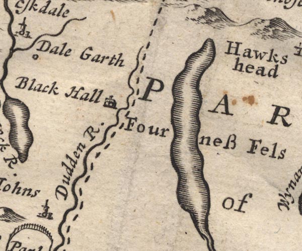
MD12SD29.jpg
Outline with shore shading.
item:- JandMN : 90
Image © see bottom of page
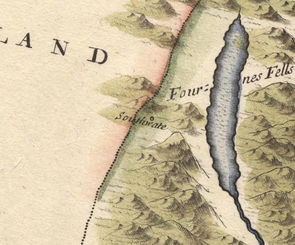
MD10SD29.jpg
Outline with shore shading, tinted blue.
item:- JandMN : 24
Image © see bottom of page
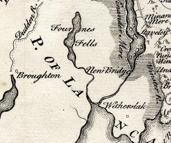
SMP2SDJ.jpg
Outline with form lines.
item:- Dove Cottage : 2007.38.59
Image © see bottom of page
placename:- Keningston Mere
item:- char
 goto source
Gentleman's Magazine 1748 p.563
"[LETTER from Carlisle, June 9, 1746.]"
"... [char] are caught also in Keningston mere, which is about five miles long, and one broad, lying at the foot of Keningston fells, about five miles distant, tho' not in such plenty, but 'tis said, that the charr caught there are fairer and more serviceable than those of Winander mere," ..."
placename:- Coniston Mere
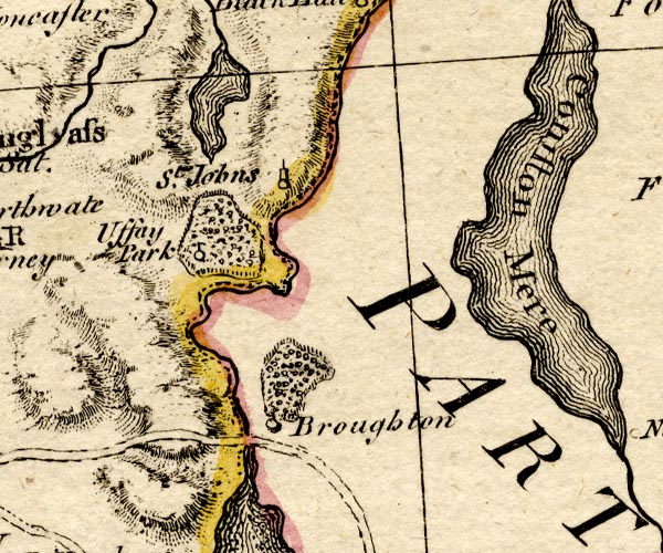
BO18SD18.jpg
"Coniston Mere"
outline with form lines
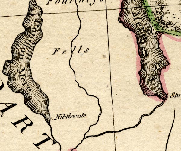
BO18SD28.jpg
item:- Armitt Library : 2008.14.10
Image © see bottom of page
placename:- Coningston Mere
item:- fish; char
placename:- Congleton Mere
 click to enlarge
PEN1Cm.jpg
"Congleton Mere"
lake
item:- private collection : 66
Image © see bottom of page
item:- char
 goto source
Page 46:- "CONISTON."
"..."
 goto source
Page 47:- "..."
"Reach the south end of the lake. Here it is narrowed by the rocky prominences from both, sides, forming between their curvatures a variety of pretty bays. The whole length of the lake is about six measured miles; and the greatest breadth about three quarters of a mile. The greatest depth, by report, exceeds not forty fathoms. A little higher the broadest part commences, and stretches, with small curvatures, to Water-head. The shores are frequently indented; and one pretty bay opens after another in a variety of forms."
"..."
 goto source
Page 53:- "..."
"It will be allowed, that the views on this lake are beautiful and picturesque, yet they please more than surprise. The hills that immediately inclose the lake, are ornamental, but humble. The mountains at the head of the lake are great, noble, and sublime, without any thing that is horrid or terrible. They are bold and steep, without the projecting precipice, the overhanging rock, or pendant cliff. The hanging woods, waving inclosures, and airy sites, are elegant, beautiful, and picturesque; and the whole may be seen with ease and pleasure. In a fine morning, there is not a more plea-"
 goto source
Page 54:- "pleasant rural ride; and then the beauties of the lake are seen to the most advantage. In the afternoon, if the sun shines, much of the effect is lost by the change of light; and such as visit it from the north, lose all the charm arising from the swell of the mountains, by turning their backs upon them."
"The feeder of this lake, besides the Black-beck of Torver, is Coniston-beck. It decends (sic) from the mountains, or rather is precipitated, in a short course to the lake, which it enters on the western canton in a clear stream, concealed by its banks. The lake bends away to the east, and its intermediate shore is a beach of pebble and sand. This beach is adorned with a cot, set under a full topt tree."
"The char here are said to be the finest in England. They are taken later than on Windermere-water, and continue longer in the spring."
placename:- Coniston Lake
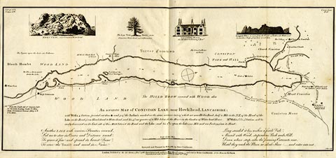 click to enlarge
CT14.jpg
"... CONISTON LAKE ..."
item:- JandMN : 182.5
Image © see bottom of page
placename:- Thurston Water
placename:- Coniston Water
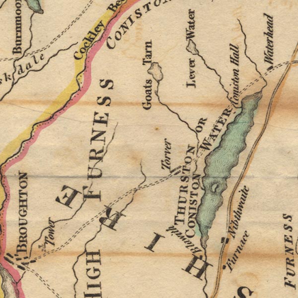
Ws02SD29.jpg
"THURSTON OR CONISTON WATER"
item:- Armitt Library : A1221.1
Image © see bottom of page
placename:- Coniston Water ???
 click to enlarge
MM0302.jpg
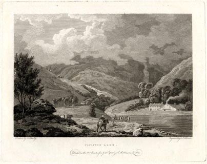
"Drawn by F. Wheatly. / Engrav'd by S. Middiman. / CONISTON LAKE. / Publish'd as the Act directs, Jany. 21st. 1785, by S. Middiman, London."
Accompanying text:- "PLATE X."
"CONISTON LAKE,"
"LANCASHIRE."
"CONISTON WATER lies nearly parallel with Winandermere, about seven Miles to the westward; the South End of the Lake is narrow, and its Shores are indented with a Variety of Promontories; afterwards expanding itself at Peel Island, it extends in a Reach of five Miles to Water Head."
"From the North End of Coniston, a Cataract is seen descending the Sides of the Mountains, which, after a short Course, joins the Lake; the Summits of these Hills being frequently involved in Clouds, exhibit a deep Contrast to the natural Transparency of the Lake, and throw a Gloom on the fertile Meadows at their Feet."
"Coniston Hall stands on the western Banks of the Lake; it was for many Ages the Seat of the Flemings, and, though now abandoned, has an Air of Grandeur even in its Ruins."
"The Village of Coniston consists of a few Houses, scattered in a picturesque Manner over a steep, cultivated Slope. Many considerable Improvements have been made on the Estate of George Knott, Esq. who has a beautiful Seat in this Neighbourhood."
"The Copper Mines on Coniston Fells have produced great Quantities of Ore; but were shut up during the Rage of the civil Wars."
"The River of Torver, which, with Lever Water and Yellow Beck, feed Coniston, abound with excellent Trout; the Lake itself contains Char, Trout, Pike, &c."
item:- Armitt Library : A6860.2
Image © see bottom of page
placename:- Coniston Lake
Accompanying text:- "PLATE XIV."
"CONISTON LAKE,"
"LANCASHIRE."
"IN a former Plate a Representation of Coniston Water is given, with the high Mountains towards the North: the View here represented is taken from an Eminence, at a little Distance, looking immediately down the Lake: the Hills that range along its Borders have a rather mild Aspect compared with those that surround Ulleswater, or the Lake of Keswick: to a Traveller who hath made himself familiar with the Scenes there exhibited, a View of the Features of Coniston may perhaps please, but not surprise the Eye. The ruder Objects, for the most Part, lie at the Head of the Lake, and in a fine Morning are seen to the best Advantage; in the Evening much of the Effect is lost by the Change of Light: those that begin their Route at Ulleswater or Keswick, in Preference to Coniston, will, in a great Measure, lose Sight of these Mountains, which arise in fine Inequalities, and beautifully contrast the milder Scenes."
"The Char found in Coniston Lake are said to be the finest in England; they are taken later than on Winandermere, and continue longer in the Spring."
item:- Armitt Library : A6861.2
Image © see bottom of page
placename:- Coniston Lake
placename:- Thurston Water
item:- fish, Coniston Water; char
 goto source
Page 145:- "..."
"... take a turn towards Hawk's-head, and see Coniston Lake. I have not surveyed it with any instrument, so will not pretend to say much about its dimensions: I shall, therefore, only observe, that it is not without its beauties; and that it is about six miles long, less than half a mile in breadth, but is surrounded with woods, meadows, and mountains. It is no ways remarkably beautiful, but affords, like the others, a great variety of landscape scenes; the house of Mr Knott, in a grove of tall wood near the high-end of it, affords the artist several views, which are heightened by the white cottages in the neighbourhood; none, however, are very striking. Mr West, p.52, says, "It will be allowed, that the views on this Lake are beautiful and picturesque, yet they please more than surprise. The hills that immediately inclose the Lake are ornamental, but humble; the mountains at the head of the Lake are great, noble, and sublime, without any thing that is horrid or terrible. They are bold and steep, without the projecting precipices, the over-hanging rock, or perpendicular cliff. The hanging woods, waving inclosures, and airy scites, are elegant, beautiful, and picturesque; and the whole may be seen with ease and pleasure. In a fine morning, there is not a more pleasant rural ride; and then the beauties of the Lake are seen to the most advantage: in the afternoon, if the sun shines, much of the effect is lost by the change of light; and such as visit it from the north lose all the charms arising from the swell of the mountains, by turning their backs upon them.""
 goto source
Page 146:- "..."
"Coniston Lake, by some called Thurston Water, is in the county of Lancashire; it abounds with the several kinds of fish found in Winandermere, and the fishermen account the charr more valuable in this Lake than the other, but I think they are much the same."
"..."
 goto source
Gentleman's Magazine 1788 p.803 "... 'The Cumberland and Westmoreland lakes afford most soothing ideas and exquisite gratifications;' except when interrupted by a thick fog, which was this poor gentleman's case ar Corriston (sic) Lake; but when he did see it, he could not look down; i.e. pick his way for staring at it."
placename:- Coningston Water
placename:- Thurston Water
item:- char
 goto source
Page 143:- "..."
"... Coningston or Thurston water, a lake five miles long and near one broad, whose char are said to be the finest in England; they are fished later than on Windermere, and continue longer in the spring. ..."
placename:- Coniston Water
 click to enlarge
HM02Con.jpg
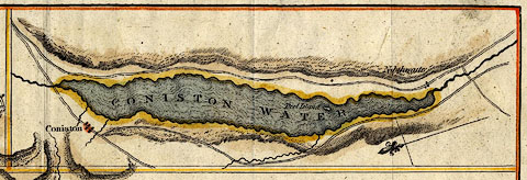
"CONISTON WATER"
item:- Dove Cottage : 2007.38.97
Image © see bottom of page
placename:- Coniston Water
pp.25-26:- "... Coniston water, which is the first lake met with by this track; ..."
route from Cartmel/Ulverston etc.
placename:- Coniston Water
 click to enlarge
GRA1Lk.jpg
"Coniston W."
outline with form lines; lake or tarn
item:- Hampshire Museums : FA2000.62.5
Image © see bottom of page
placename:- Coniston Water
 click to enlarge
GRA1La.jpg
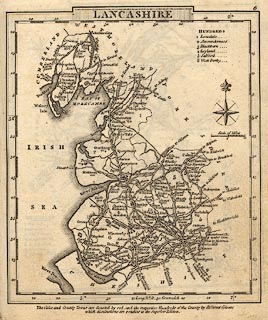
"Coniston Water"
outline with form lines; lake or tarn
item:- Hampshire Museums : FA2000.62.6
Image © see bottom of page
 goto source
Gentleman's Magazine 1805 p.1010 "... The Lake is six miles long, and, like Windermere, the glory of its banks is concentrated in a single point of view. In a shrubbery on the Western edge stands Coniston Hall, the antient seat of the Flemings. This is a well-chosen situation. ..."
placename:- Coniston Water
 click to enlarge
Lw18.jpg
"Coniston Water"
lake
item:- private collection : 18.18
Image © see bottom of page
placename:- Conistone Water
item:- char
 goto source
"[Coniston] ... stands near the lake called Conistone Water, being about 6 miles long, and nearly 1 in breadth; its greatest depth is about 40 fathoms: the shores are frequently indented, and the bays open in a variety of forms, producing the finest char in England."
placename:- Coniston Water
 goto source
page 1:- "CONISTON water is six miles in length, and the greatest breadth three quarters of a mile; it is encircled by an excellent road, which is often on the margin of the water and scarcely ever a mile from it: ..."
 goto source
page 3:- "..."
"The shores on this side of the lake are varied with bold promontories and islands, and travelling northward the middle ground materials improve and become highly interesting, ..."
placename:- Coniston Water
 click to enlarge
GN1201.jpg
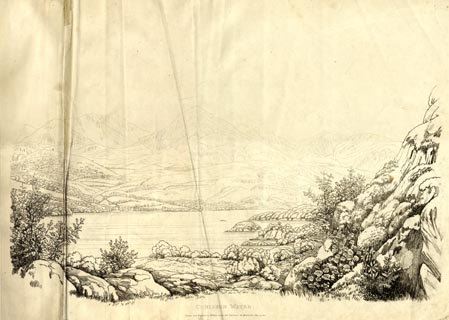
Plate 1 in Sixty Studies from Nature, 1810.
printed at top right:- "1"
printed at bottom:- "CONISTON WATER. / Drawn and Engraved by William Green, and Published at Ambleside, June 24, 1810."
watermark:- "J WHATMAN / 1813"
item:- Armitt Library : A6641.1
Image © see bottom of page
placename:- Coniston Water
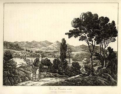 click to enlarge
WKN104.jpg
Plate 4 in Select Views in Cumberland, Westmoreland, and Lancashire.
printed at bottom left, right, centre:- "Revd. Jos: Wilkenson delt. / W. F. Wells Sc. / View on Coniston-water. / Published August 1. 1810. by R. Ackermann. 101. Strand. London."
item:- Fell and Rock Climbing Club : MN4.4
Image © see bottom of page
placename:- Coniston Water
item:- thatch
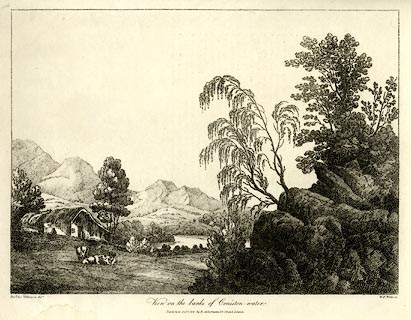 click to enlarge
WKN107.jpg
Plate 7 in Select Views in Cumberland, Westmoreland, and Lancashire.
printed at bottom left, right, centre:- "Revd. Jos: Wilkenson delt. / W. F. Wells sc. / View on the banks of Coniston-water. / Published Octr. 1. 1810. by R. Ackermann. 101. Strand. London."
item:- Fell and Rock Climbing Club : MN4.7
Image © see bottom of page
item:- cattle
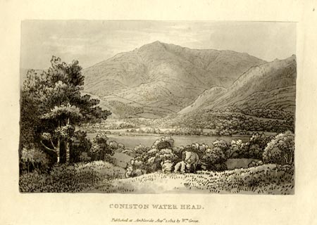 click to enlarge
GN1002.jpg
Plate 2 in Sixty Small Prints.
printed at top right:- "2"
printed at bottom:- "CONISTON WATER HEAD. / Published at Ambleside Augst. 1, 1814, by Wm. Green."
item:- Armitt Library : A6653.2
Image © see bottom of page
item:- cattle
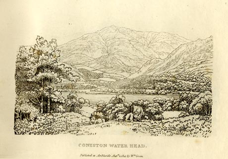 click to enlarge
GN0902.jpg
Plate 2 in Sixty Small Prints.
printed at top right:- "2"
printed at bottom:- "CONISTON WATER HEAD. / Published at Ambleside Augst. 1, 1814, by Wm. Green."
item:- Armitt Library : A6656.2
Image © see bottom of page
placename:- Coniston Water
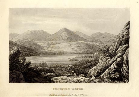 click to enlarge
GN1001.jpg
Plate 1 in Sixty Small Prints.
printed at top right:- "1"
printed at bottom:- "CONISTON WATER. / Published at Ambleside Augst. 1, 1814, by Wm. Green."
item:- Armitt Library : A6653.1
Image © see bottom of page
placename:- Coniston Water
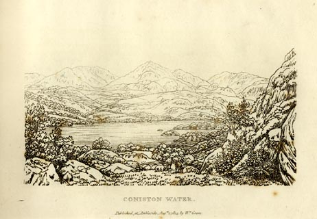 click to enlarge
GN0901.jpg
Plate 1 in Sixty Small Prints.
printed at top right:- "1"
printed at bottom:- "CONISTON WATER. / Published at Ambleside Augst. 1, 1814, by Wm. Green."
item:- Armitt Library : A6656.1
Image © see bottom of page
placename:- Coniston Water
 goto source
page 4:- "..."
"Coniston Water is six miles in length, and the greatest breadth is three-quarters of a mile; it is encircled by an excellent carriage road, ..."
placename:- Coniston Water
item:- sheep
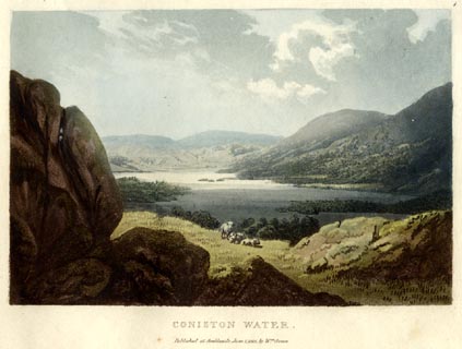 click to enlarge
GN0501.jpg
Plate 1 in Lake Scenery.
printed at upper right:- "1"
printed at bottom:- "CONISTON WATER. / Published at Ambleside, June 1, 1815, by Wm. Green."
item:- Armitt Library : A6646.1
Image © see bottom of page
placename:- Coniston Water
item:- cattle
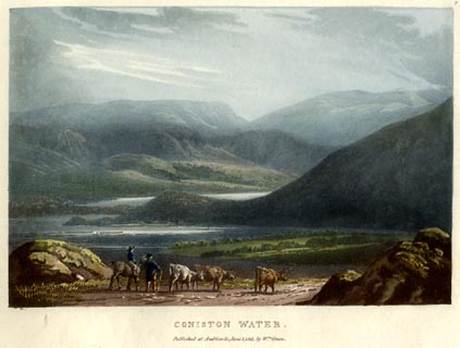 click to enlarge
GN0502.jpg
Plate 2 in Lake Scenery.
printed at upper right:- "2"
printed at bottom:- "CONISTON WATER. / Published at Ambleside, June 1, 1815, by Wm. Green."
item:- Armitt Library : A6646.2
Image © see bottom of page
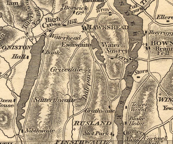
OT02SD39.jpg
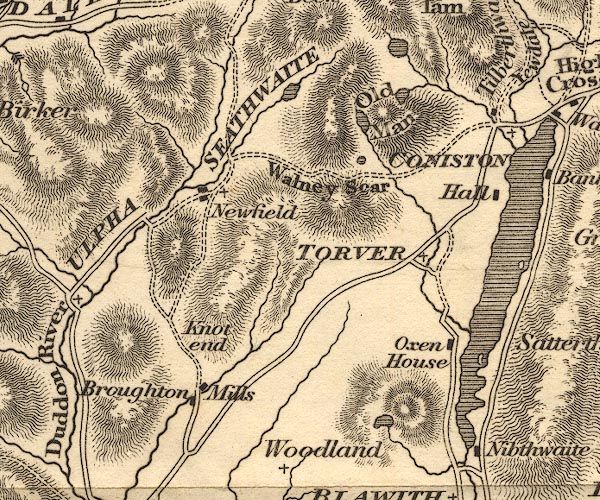
OT02SD29.jpg
Some islands are shown.
item:- JandMN : 48.1
Image © see bottom of page
placename:- Coniston Water
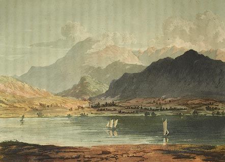 click to enlarge
FW0105.jpg
Tipped in opposite p.23 in A Picturesque Tour of the English Lakes.
item:- Dove Cottage : 1993.R566.5
Image © see bottom of page
placename:- Coniston Water
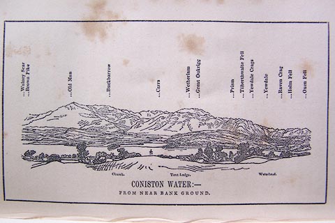 click to enlarge
O80E05.jpg
item:- Armitt Library : A1180.6
Image © see bottom of page
placename:- Thurston Water
item:- depth, Coniston Water; fishing; trout; char; geology
 goto source
Page 12:- "CONISTON WATER,"
"Called in some old books THURSTON WATER, is a lake of considerable magnitude, being six miles in length; but wanting in that agreeable flexure of shores so conducive to the beauty of a lake. Near its foot, however, are some finely wooded, rocky promontories; which from certain points add greatly to the prospect. It has two small islands, but they are placed too near the shore to contribute much to its importance."
"As the principal mountains lie on the western side and at its head, the best views are in consequence obtained in a progress from its foot, on the eastern side; or from a boat on its surface: but those who have leisure may be gratified by the variety afforded in an excursion quite round the lake."
"Its greatest depth is twenty-seven fathoms. It is well supplied with trout and char, the latter are said to be better here than in any other lake; they are taken by nets in winter, and it was formerly supposed they could not be tempted by any kind of bait; however, they are sometimes taken by angling, with a hook baited in a peculiar manner with a minnow."
"..."
 goto source
Page 159:- "A rock of fine-grained sienite is observed near the foot of Coniston Lake; and one containing a large portion of mica appears in Crosthwaite. ..."
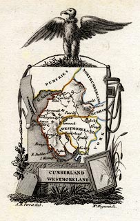 click to enlarge
PER2.jpg
outline with form lines; lake
item:- Dove Cottage : 2007.38.45
Image © see bottom of page
placename:- Coniston Water
item:- depth, Coniston Water
 goto source
Page 8:- "..."
"CONISTON WATER"
"Is six miles in length, and about three quarters of a mile in breadth. The depth does not exceed thirty fathoms, and the waters abound with char and trout, the former being larger and finer than those found in any other lake. Its direction is from north to south, the head or northern part being engulphed in lofty mountains, whilst the extremity reaches into the vale below. The southern shores are beautifully indented by rocky promontories, stretching into the waters, which are mar-"
 goto source
Page 9:- "[mar]gined by meadows, intersected by hedge-rows. The views from the eastern side are the most interesting, excelling those from the opposite, by having as back-grounds the sublime mountains of Coniston."
"An excellent carriage-road surrounds the water, often on its margin, scarcely ever a mile from it. Passing along the western side, from its foot to Oxen Houses, the mountains compose agreeably with the water, from a variety of stands. Several rocky eminences present themselves on the left, from which both ends of the lake are visible; at the head, the Coniston, Yewdale, and Tilberthwaite fells, rise up out of the water; the lofty mountains about Rydal and Grasmere are seen above them; and Fairfield and Helvellyn finish the prospect. In advancing, the mountains are occasionally shut out by pastures and meadows, their pretty white farm-houses and cottages glistening amid ashes, oaks, and sycamores. Coniston Hall, the ancient seat of the Flemings of Rydal, is on the right hand on the edge of the lake, and although very much spoiled by alterations, is a pleasing object with the trees, the water, and the fells of Yewdale. The road passes the slate depôt, through low but pleasant pasture and meadow grounds, to the inn at Waterhead."
"The best time for traversing the eastern side is the morning. The Coniston fells from above Nibthwaite, are in full glory. Looking diagonally across the water in a north-west direction, the"
 goto source
Page 10:- "water here is embayed, Peel island stretches boldly to the western shore, beyond which, are green fields, scattered woods and rocks, fishermen's cottages and farm-steads, and the awful Man-mountain rising over them, and shutting in the scene. On this side, the middle portion of the road is the least interesting. Towards the head, Coniston Hall, with its aged sycamores and groves of trees, form a charming picture, amid the hedge-rows and dependent farm-steads. From Tent Lodge, once the residence of Miss Elizabeth Smith, (that excellent Hebrew scholar and poetess,) there is a beautiful view of the lake, with its church and village of Coniston on its opposite side, backed by an intermixture of the Coniston, Yewdale, and Tilberthwaite mountains."
 goto source
Page 177:- "A TABLE"
"OF THE LENGTH, BREADTH, &c. OF THE LAKES,"
"COLLECTED FROM DIFFERENT AUTHORITIES."
| No. | Names of Lakes. | Height above sea in feet. | Length in miles. | Breadth in miles. | Depth in fathoms. |
| 1 | Coniston Water | 6 - | - ¾ | 27 - 30 |
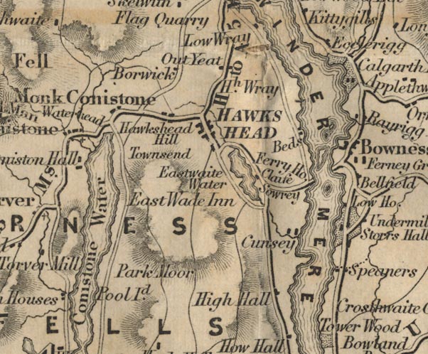
FD02SD39.jpg
"Conistone Water"
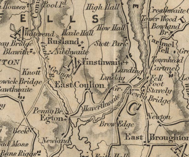
FD02SD38.jpg
item:- JandMN : 100.1
Image © see bottom of page

FD02SD39.jpg
"Conistone Water"

FD02SD38.jpg
item:- JandMN : 100.1
Image © see bottom of page
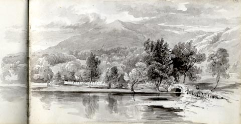
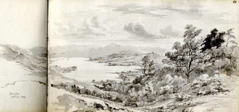 click to enlarge
AS0175.jpg
"Coniston / Octr. 9. 1849."
item:- Armitt Library : 1958.487.75
Image © see bottom of page
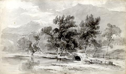
 click to enlarge
AS0176.jpg
item:- Armitt Library : 1958.487.76
Image © see bottom of page
 click to enlarge
AS0177.jpg
item:- Armitt Library : 1958.487.77
Image © see bottom of page
placename:- Coniston Water
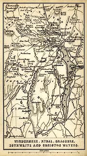 click to enlarge
WLD3M1.jpg
printed at bottom:- "WINDERMERE, RYDAL, GRASMERE, / ESTHWAITE AND CONISTON WATERS."
item:- Armitt Library : A1201.64
Image © see bottom of page
placename:- Coniston Water
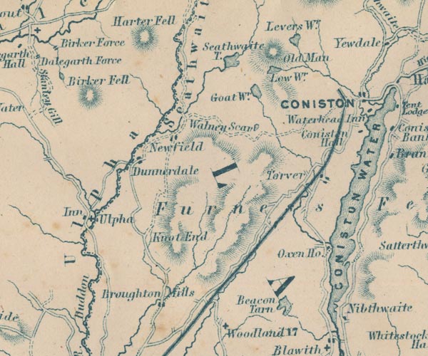
GAR2SD29.jpg
"CONISTON WATER"
outline with shore form lines, lake or tarn
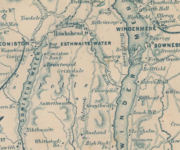
GAR2SD39.jpg
item:- JandMN : 82.1
Image © see bottom of page
placename:- Coniston Water
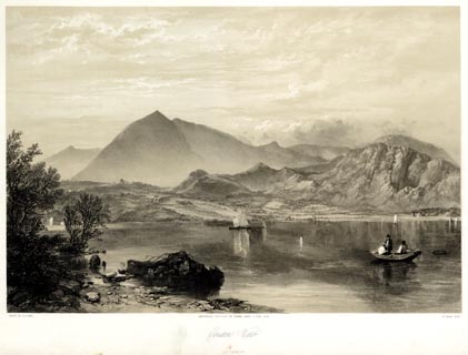 click to enlarge
PYN219.jpg
"PAINTED BY J. B. PYNE. / W. GAUCI LITH. / MANCHESTER, PUBLISHED BY THOMAS AGNEW & SONS, 1853. / Coniston Water / M & N HANHART IMPT."
From the descriptive text:- "The spectator here is supposed to be looking across the head of the Lake towards Coniston Old Man, a mountain so entitled from its resemblance to a human figure. ..."
"... The geological character of the mountain is slate; for the excavation of which there are several large quarries, now for the most part abandoned. The produce of these quarries is usually conveyed down the Lake by means of boats, on their way to the port of Ulverston. Granite is to be found upon one part of the mountain, whilst around its sides and base, sienitic boulders are scattered in great numbers. A narrow bed of transition limestone strikes across the country at the foot of the mountain. The "Old Man" is rich in metal; several veins of copper intersecting its eastern side. The ore is drawn in pyrites from the mine, which is situated in a large cove half a mile up the hill, and extends for upwards of half a mile in a horizontal direction, the vertical shafts penetrating two hundred yards ini depth. ..."
item:- Armitt Library : A6678.20
Image © see bottom of page
placename:- Coniston Water
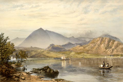 click to enlarge
PYN419.jpg
item:- Armitt Library : A6677.20
Image © see bottom of page
 click to enlarge
PYN419.jpg
item:- Armitt Library : A6677.20
Image © see bottom of page
 goto source
Page 26:- "..."
"The lake of Coniston, which is his next object, is in the district between Windermere and the Duddon, which has already been mentioned as formerly belonging to Furness Abbey. From Ulverstone, his road commands the estuary of the Leven for a few miles, and then approaches the foot of Coniston Water, which it reaches at eight miles from Ulverstone. ... The lake, like Windermere, is flanked by low hills at the south end, and inclosed by magnificent mountains at the head, ..."
 goto source
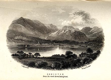 click to enlarge
MNU105.jpg
Print, engraving, Coniston from the Wood above Bank Ground, drawn by L Aspland, engraved by W Banks, Edinburgh, published by John Garnett, Windermere, Westmorland, and by Whittaker and Co, London, 1855. "L Aspland Delt. / W Banks Sc Edinr. / CONISTON / from the wood above Bank ground."
item:- Armitt Library : A1159.5
Image © see bottom of page
item:- fish, Coniston; char
 goto source
Page 32:- "..."
"... The best char are in Coniston Water: but they are good every where; especially to hungry travellers, sitting at table within sight of the waters whence they have just been fished. The potted char of Coniston is sent, as every epicure knows, to all parts of the world where men know what is good. ..."
item:- depth, Coniston Water
 goto source
Page 180:- "A TABLE OF THE LENGTH, BREADTH, AND DEPTH OF THE LAKES."
"No. : Names of Lakes. : Counties : Length in Miles. : Extreme breadth in Miles : Extreme depth in Feet : Height above the Sea"
"7 : Coniston Water : Lancashire : 6 : ½: 160 : 105"
placename:- Coniston Lake
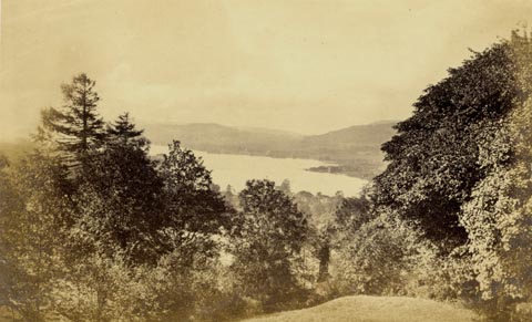 click to enlarge
PN0330.jpg
From Monk Coniston Hall?
Tipped in opposite p.61 of The Lakes in Sunshine, text by James Payn.
printed at bottom:- "CONISTON LAKE, FROM MR. MARSHALL'S GROUNDS."
item:- Fell and Rock Climbing Club : 184.30
Image © see bottom of page
placename:- Coniston Lake
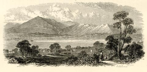 click to enlarge
PN0331.jpg
On p.64 of The Lakes in Sunshine, text by James Payn.
printed at lower right:- "J. COOPER SC"
item:- Fell and Rock Climbing Club : 184.31
Image © see bottom of page
placename:- Coniston Lake
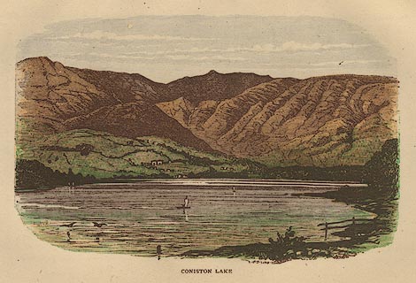 click to enlarge
BB1E09.jpg
Looking across the lake towards Coniston village. "CONISTON LAKE"
item:- JandMN : 69.10
Image © see bottom of page
placename:- Coniston Water
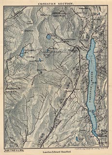 click to enlarge
JK06.jpg
item:- JandMN : 28.6
Image © see bottom of page
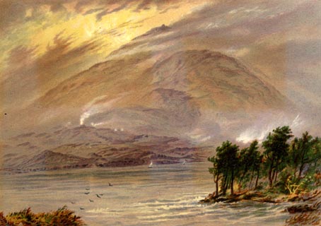 click to enlarge
WLT312.jpg
Plate 12 in English Lake Scenery, with a description by T G Bonney.
item:- JandMN : 469.12
Image © see bottom of page
placename:- Coniston Lake
item:- sunset; rowing boat; boat
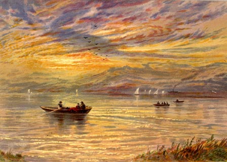 click to enlarge
WLT316.jpg
Plate 16 in English Lake Scenery, with a description by T G Bonney.
item:- JandMN : 469.16
Image © see bottom of page
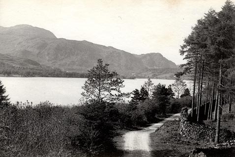 click to enlarge
HB0406.jpg
stamped at reverse:- "HERBERT BELL / Photographer / AMBLESIDE"
item:- Armitt Library : ALPS60
Image © see bottom of page
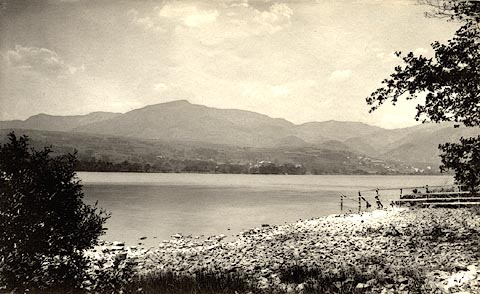 click to enlarge
HB0410.jpg
stamped at reverse:- "HERBERT BELL / Photographer / AMBLESIDE"
item:- Armitt Library : ALPS64
Image © see bottom of page
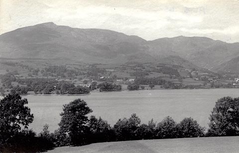 click to enlarge
HB0411.jpg
stamped at reverse:- "HERBERT BELL / Photographer / AMBLESIDE"
item:- Armitt Library : ALPS65
Image © see bottom of page
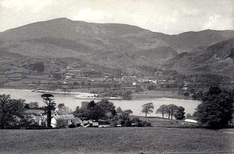 click to enlarge
HB0412.jpg
stamped at reverse:- "HERBERT BELL / Photographer / AMBLESIDE"
item:- Armitt Library : ALPS66
Image © see bottom of page
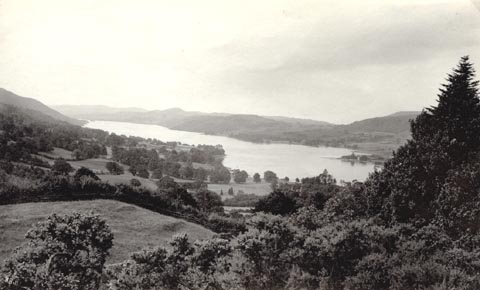 click to enlarge
HB0443.jpg
item:- Armitt Library : ALPS98
Image © see bottom of page
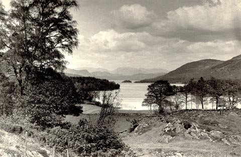 click to enlarge
HB0444.jpg
stamped at reverse:- "HERBERT BELL / Photographer / AMBLESIDE"
item:- Armitt Library : ALPS99
Image © see bottom of page
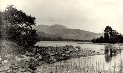
item:- flower; water lily
 click to enlarge
HB0446.jpg
item:- Armitt Library : ALPS101
Image © see bottom of page
placename:- Coniston Water
 click to enlarge
BEM109.jpg
Tipped in opposite p.41 of a Handy Guide to the English Lakes and Shap Spa.
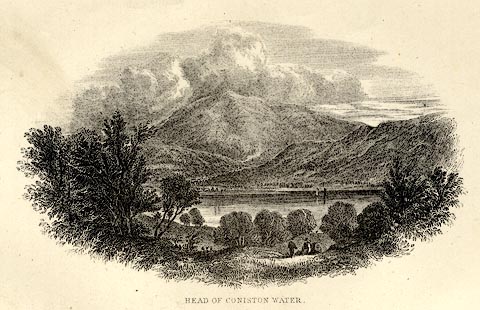
printed at bottom:- "HEAD OF CONISTON WATER."
item:- JandMN : 455.11
Image © see bottom of page
placename:- Coniston Water
 click to enlarge
MIL7.jpg
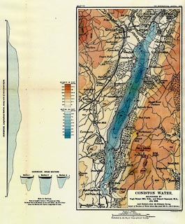
- with soundings and sections
item:- Kendal Library : 7.6
Image © see bottom of page
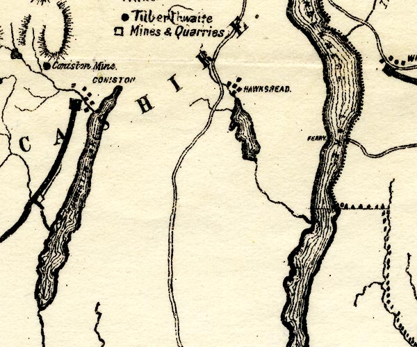
placename:- Coniston
item:- dawn
 click to enlarge
HC0119.jpg
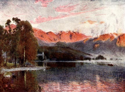
Opposite p.60 of The English Lakes, painted by Alfred Heaton Cooper, described by William T Palmer.
printed at tissue opposite the print:- "DAWN, CONISTON"
item:- JandMN : 468.19
Image © see bottom of page
placename:- Coniston Lake
 click to enlarge
HC0120.jpg
Opposite p.62 of The English Lakes, painted by Alfred Heaton Cooper, described by William T Palmer.
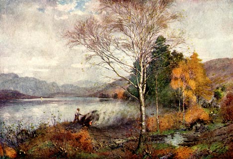
printed at tissue opposite the print:- "CHARCOAL-BURNERS, CONISTON LAKE"
item:- JandMN : 468.20
Image © see bottom of page
placename:- Coniston Lake
item:- char
 click to enlarge
HC0121.jpg
Opposite p.64 of The English Lakes, painted by Alfred Heaton Cooper, described by William T Palmer.
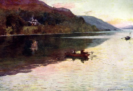
printed at tissue opposite the print:- "BRANTWOOD, CONISTON LAKE: CHAR FISHING"
printed at signed lower right:- "A HEATON COOPER"
item:- JandMN : 468.21
Image © see bottom of page
placename:- Coniston Lake
PST2SD39.jpg
"CONISTON LAKE"
lake
item:- JandMN : 162.2
Image © see bottom of page
placename:- Coniston Lake
 click to enlarge
REY608.jpg
"A HEATON COOPER"
"BRANTWOOD, CONISTON LAKE"
item:- JandMN : 1071.8
Image © see bottom of page
placename:- Coniston Lake
 click to enlarge
PCH104.jpg
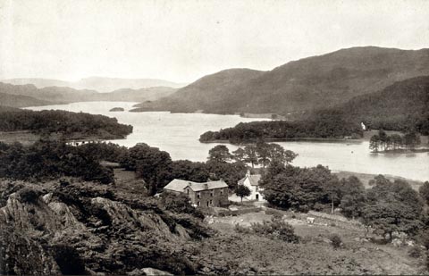
printed, "Coniston Lake, from Lake / Bank. / ..."
item:- JandMN : 1015.4
Image © see bottom of page
placename:- Coniston Lake
 click to enlarge
PR1560.jpg
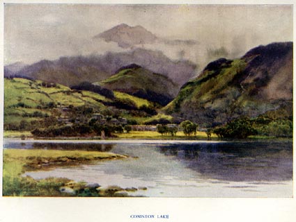
Tipped in opposite p.8 of The English Lakes section of a volume of Our Beautiful Homeland.
printed at bottom:- "CONISTON LAKE"
printed at lower left:- "[E. W.] HASLEHURST"
item:- JandMN : 381.2
Image © see bottom of page
placename:- Coniston Water
 click to enlarge
SYL130.jpg
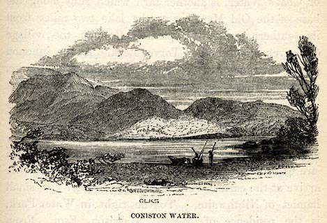
On p.97 of Sylvan's Pictorial Guide to the English Lakes.
printed at bottom:- "GILKS / CONISTON WATER."
item:- Armitt Library : A1201.30
Image © see bottom of page
placename:- Coniston Water
 click to enlarge
PR0355.jpg
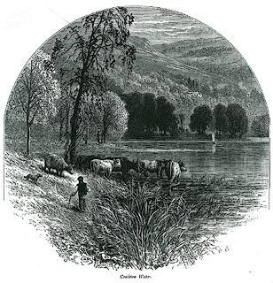
On page 219 of Picturesque Europe, The Lake Country.
printed at lower left, right:- "WHJBool / WHYMPER Sc"
printed at bottom:- "Coniston Water."
item:- Dove Cottage : 2008.107.355
Image © see bottom of page
placename:- Coniston Lake
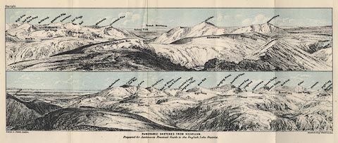 click to enlarge
Jk01E1.jpg
"... Coniston Lake ..."
item:- JandMN : 28.5
Image © see bottom of page
placename:- Coniston Lake
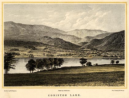 click to enlarge
PR0436.jpg
printed at bottom left, right, centre:- "On Stone by R. J. Hamerton / From Photo by M. Bowness / Printed by J. Richardson. / CONISTON LAKE."
item:- private collection : 100
Image © see bottom of page
placename:- Coniston Lake
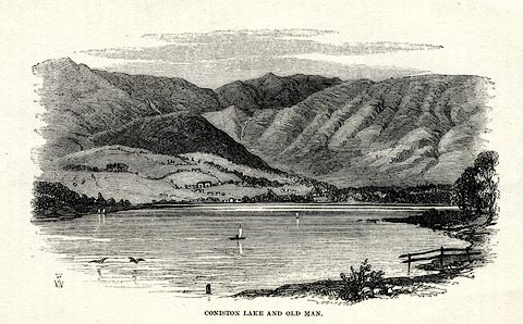 click to enlarge
WU0116.jpg
On p.44 of Over Sands to the Lakes, by Edwin Waugh.
printed at bottom left:- "THW"
printed at bottom:- "CONISTON LAKE AND OLD MAN."
item:- Armitt Library : A1082.16
Image © see bottom of page
placename:- Coniston Water
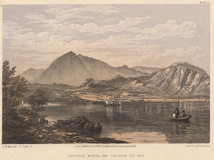 click to enlarge
PY02.jpg
"Coniston Water and Coniston Old Man"
item:- JandMN : 97.4
Image © see bottom of page
placename:- Coniston Lake
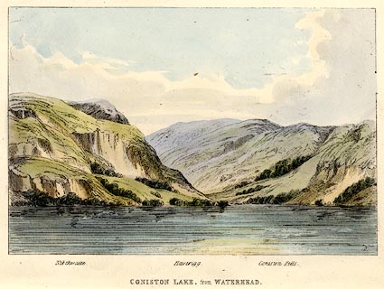 click to enlarge
TAT202.jpg
Included in The Lakes of England, by W F Topham.
printed at bottom:- "CONISTON LAKE, from WATERHEAD"
printed at bottom:- "Nibthwaite. / Haverigg. / Coniston Fells."
item:- Armitt Library : A1067.2
Image © see bottom of page
placename:- Coniston
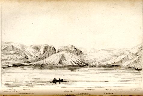 click to enlarge
TAT106.jpg
The print is captioned with mountain names and acts as an outline view.
Tipped in opposite p.35 of The Lakes of England, by George Tattersall.
printed at bottom:- "UPPER REACH, CONISTON."
printed at bottom left to right:- "Coniston Old Man. / Undercrag. / Seathwaite Fells. / Coniston. / Oxenfell. / Wetherlam. / Waterhead. / Fairfield. / Hawkshead Moor. / Kirkstone. / How Head."
item:- Armitt Library : A1204.7
Image © see bottom of page
placename:- Coniston
 click to enlarge
TAT106.jpg
The print is captioned with mountain names and acts as an outline view.
Tipped in opposite p.35 of The Lakes of England, by George Tattersall.
printed at bottom:- "UPPER REACH, CONISTON."
printed at bottom left to right:- "Coniston Old Man. / Undercrag. / Seathwaite Fells. / Coniston. / Oxenfell. / Wetherlam. / Waterhead. / Fairfield. / Hawkshead Moor. / Kirkstone. / How Head."
item:- Armitt Library : A1204.7
Image © see bottom of page
placename:- Coniston Lake
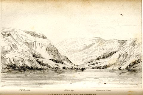 click to enlarge
TAT105.jpg
The print is captioned with mountain names and acts as an outline view.
Tipped in opposite p.35 of The Lakes of England, by George Tattersall.
printed at bottom:- "CONISTON LAKE, from WATERHEAD."
printed at bottom left to right:- "Nibthwaite. / Haverigg. / Coniston Fells."
item:- Armitt Library : A1204.6
Image © see bottom of page
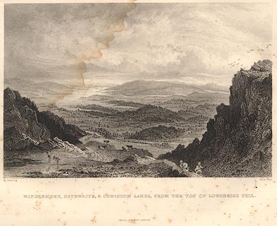 click to enlarge
R353.jpg
item:- JandMN : 66.62
Image © see bottom of page
placename:- Coniston Water
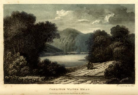 click to enlarge
GN0102.jpg
Tipped in opposite vol.1 p.79 of The Tourist's New Guide, by William Green.
printed at bottom right, centre:- "Vol.I, pages 78 &79, lines 33 to 10. / CONISTON WATER HEAD. / Published at Ambleside, Augt. 1. 1819., by Wm. Green."
item:- Armitt Library : A1141.3
Image © see bottom of page

Click to enlarge
BTN66.jpg From the Old Man of Coniston.
(taken 8.9.2010)
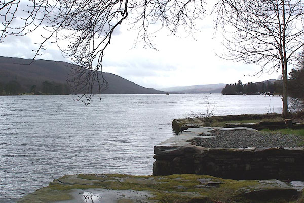
BLV49.jpg From Kirby Quay.
(taken 13.4.2006)

Click to enlarge
BTJ56.jpg From Peel Near,
(taken 13.8.2010)

Click to enlarge
BTJ59.jpg From near Brantwood,
(taken 13.8.2010)
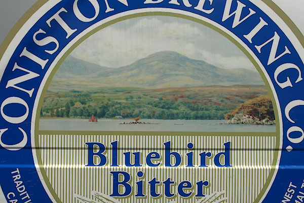
BTJ77.jpg (taken 25.8.2010)
 viewpoint, Water Park Thomas West I
  viewpoint, Peel Ness Thomas West II
  viewpoint, Beck Leven Foot Thomas West III
  viewpoint, Coniston Water by boat Thomas West IV
  viewpoint, Hollin Bank N Thomas West / Peter Crosthwaite 2
  viewpoint, Hollin Bank S Peter Crosthwaite 1
  viewpoint, Water Head Peter Crosthwaite 3