item:- Armitt Library : A1201.64
image:- © see bottom of page
 WLD3M1.jpg
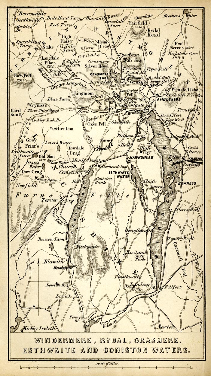
Map, uncoloured engraving, Windermere, Rydal, Grasmere,
Esthwaite and Coniston Waters, scale about 3.5 miles to 1 inch,
by James Wyld, published by John Johnstone, Paternoster Row,
London, et al, 1847.
 Lakes Guides menu.