 Otley 1818 SD38


|

|
|
|
gazetteer links places may or may not be labelled on the map |
||

|
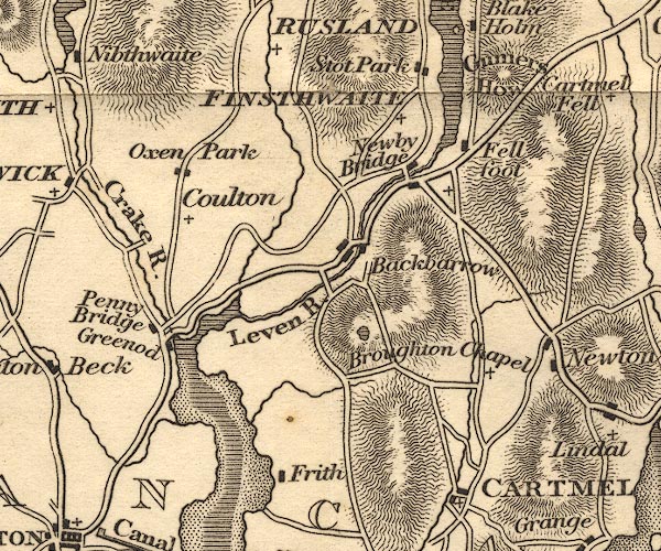
-- Backbarrow |
|
|
|
-- Bigland Tarn |
|
|
|
-- Cartmel -- "CARTMEL" |
|
|
|
-- Colton |
|
|
|
-- Crake, River -- "Crake R." |
|
|
|
-- Fell Foot -- "Fell foot" |
|
|
|
-- Finsthwaite -- "FINSTHWAITE" |
|
|
|
-- Frith Hall |
|
|
|
-- Greenodd |
|
|
|
-- Gummer's How |
|
|
|
-- High Frith |
|
|
|
-- High Stott Park |
|
|
|
-- Leven, River -- "Leven R." |
|
|
|
-- Low Frith |
|
|
|
-- Low Stott Park |
|
|
|
-- Newby Bridge |
|
|
|
-- Oxen Park |
|
|
|
-- Penny Bridge |
|
|
|
-- St Peter's Church |
|
|
|
-- Windermere lake -- "WINDERMERE" |
|
|
civil parishes The area roughly includes parts of parishes:- Cartmel Fell Lower Allithwaite Broughton East Haverthwaite Colton Lowick Hawkshead Egton with Newland Staveley-in-Cartmel Upper Allithwaite Windermere Satterthwaite |
||
|
|
||
|
|
Lakes Guides menu. | |