 Old Cumbria Gazetteer
 |
 |
|
| High Frith, Lower Allithwaite | ||
| High Frith | ||
| locality:- | Frith | |
| civil parish:- | Lower Allithwaite (formerly Lancashire) | |
| county:- | Cumbria | |
| locality type:- | buildings | |
| coordinates:- | SD33768060 | |
| 1Km square:- | SD3380 | |
| 10Km square:- | SD38 | |
|
|
||
| evidence:- | possibly old map:- Otley 1818 placename:- Frith |
|
| source data:- | Map, uncoloured engraving, The District of the Lakes,
Cumberland, Westmorland, and Lancashire, scale about 4 miles to
1 inch, by Jonathan Otley, 1818, engraved by J and G Menzies,
Edinburgh, Scotland, published by Jonathan Otley, Keswick,
Cumberland, et al, 1833.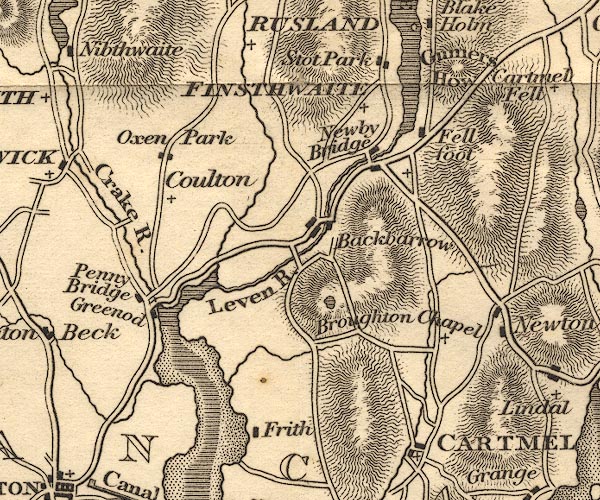 OT02SD38.jpg item:- JandMN : 48.1 Image © see bottom of page |
|
|
|
||
 Lakes Guides menu.