Old Cumbria Gazetteer
 |
 |
|
||
| Greenodd | ||||
| civil parish:- | Egton with Newland (formerly Lancashire) | |||
| county:- | Cumbria | |||
| locality type:- | locality | |||
| locality type:- | buildings | |||
| coordinates:- | SD31388254 (etc) | |||
| 1Km square:- | SD3182 | |||
| 10Km square:- | SD38 | |||
|
|
||||
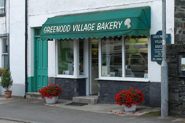
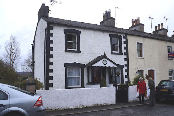
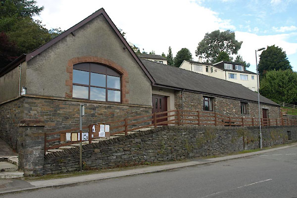
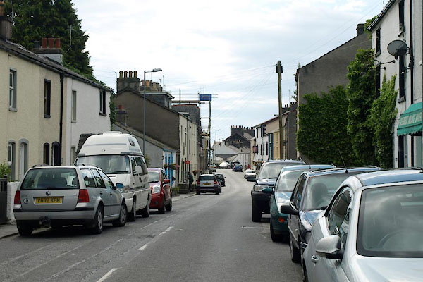
 CEY09.jpg (taken 29.4.2016) |
||||
|
|
||||
| evidence:- | old map:- OS County Series (Lan 11 8) placename:- Greenodd |
|||
| source data:- | Maps, County Series maps of Great Britain, scales 6 and 25
inches to 1 mile, published by the Ordnance Survey, Southampton,
Hampshire, from about 1863 to 1948. |
|||
|
|
||||
| evidence:- | descriptive text:- West 1778 (11th edn 1821) item:- slate |
|||
| source data:- | Guide book, A Guide to the Lakes, by Thomas West, published by
William Pennington, Kendal, Cumbria once Westmorland, and in
London, 1778 to 1821. goto source goto sourcePage 46, footnote:- "... a most beautiful bay, especially if the tide be up. It opens a little short of Penny-bridge, and continues to Greenodd, at the meeting of the rivers Leven and Crake, where this country slate is laid up for exportation." |
|||
|
|
||||
| evidence:- | old map:- West 1784 map placename:- Green Odd |
|||
| source data:- | Map, hand coloured engraving, A Map of the Lakes in Cumberland,
Westmorland and Lancashire, scale about 3.5 miles to 1 inch,
engraved by Paas, 53 Holborn, London, about 1784.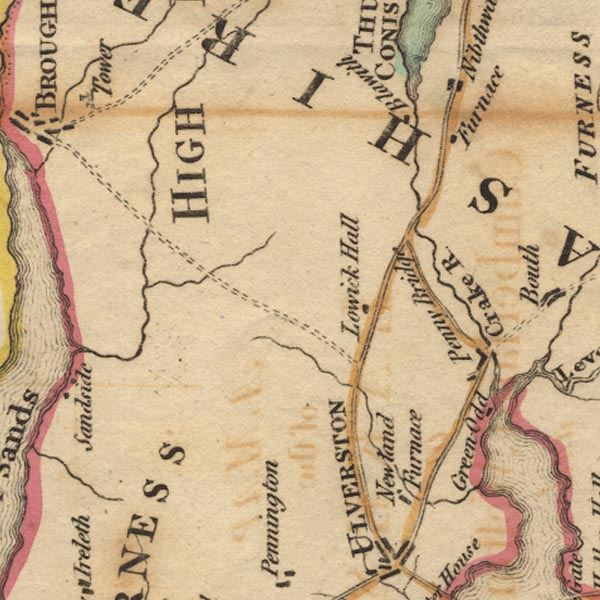 Ws02SD28.jpg item:- Armitt Library : A1221.1 Image © see bottom of page |
|||
|
|
||||
| evidence:- | old map:- Otley 1818 placename:- Greenod |
|||
| source data:- | Map, uncoloured engraving, The District of the Lakes,
Cumberland, Westmorland, and Lancashire, scale about 4 miles to
1 inch, by Jonathan Otley, 1818, engraved by J and G Menzies,
Edinburgh, Scotland, published by Jonathan Otley, Keswick,
Cumberland, et al, 1833.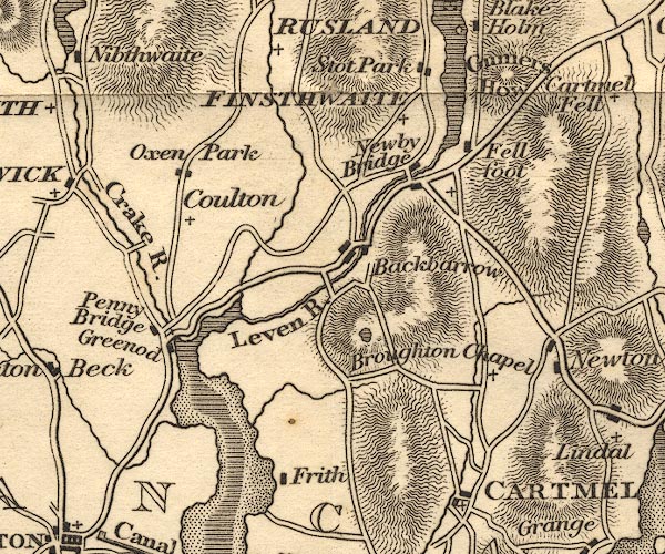 OT02SD38.jpg item:- JandMN : 48.1 Image © see bottom of page |
|||
|
|
||||
| evidence:- | descriptive text:- Otley 1823 (5th edn 1834) placename:- Green Odd item:- slate; timber; iron |
|||
| source data:- | Guide book, A Concise Description of the English Lakes, the
mountains in their vicinity, and the roads by which they may be
visited, with remarks on the mineralogy and geology of the
district, by Jonathan Otley, published by the author, Keswick,
Cumberland now Cumbria, by J Richardson, London, and by Arthur
Foster, Kirkby Lonsdale, Cumbria, 1823; published 1823-49,
latterly as the Descriptive Guide to the English Lakes. goto source Page 95:- "... Green Odd; where small craft take in their lading, consisting chiefly of slate, timber, and iron. ..." |
|||
|
|
||||
| evidence:- | possibly old map:- Ford 1839 map placename:- Egton |
|||
| source data:- | Map, uncoloured engraving, Map of the Lake District of
Cumberland, Westmoreland and Lancashire, scale about 3.5 miles
to 1 inch, published by Charles Thurnam, Carlisle, and by R
Groombridge, 5 Paternoster Row, London, 3rd edn 1843.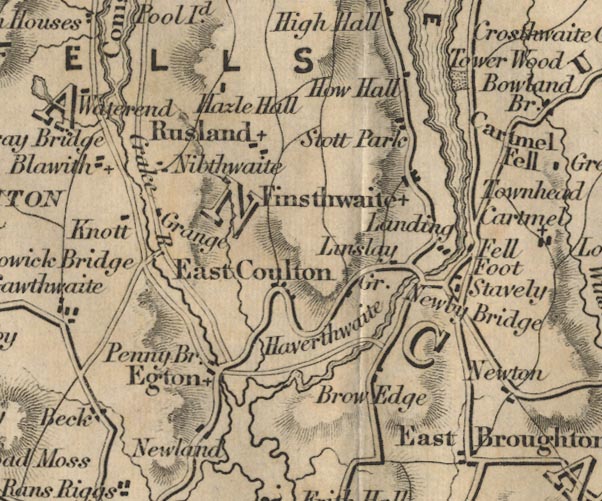 FD02SD38.jpg "Egton" item:- JandMN : 100.1 Image © see bottom of page |
|||
|
|
||||
| evidence:- | old map:- Garnett 1850s-60s H placename:- Greenod |
|||
| source data:- | Map of the English Lakes, in Cumberland, Westmorland and
Lancashire, scale about 3.5 miles to 1 inch, published by John
Garnett, Windermere, Westmorland, 1850s-60s.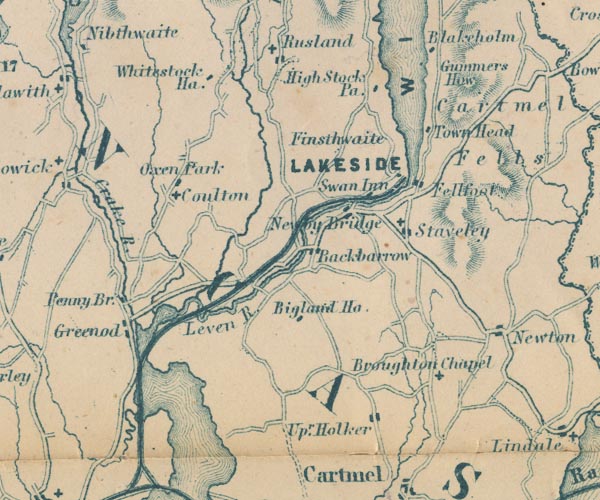 GAR2SD38.jpg "Greenod" blocks, settlement item:- JandMN : 82.1 Image © see bottom of page |
|||
|
|
||||
| evidence:- | old print:- Waugh 1860 placename:- Greenodd |
|||
| source data:- | Print, engraving, Greenodd, Egton with Newland, Lancashire, drawn by T H Wilson, engraved
by Swain, published by Alexander Ireland and Co, 22 Market Street, Manchester, 1860.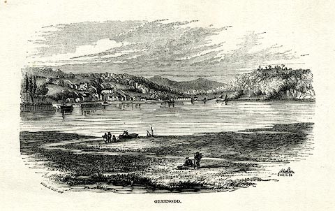 click to enlarge click to enlargeWU0117.jpg On p.45 of Over Sands to the Lakes, by Edwin Waugh. printed at bottom left, right, centre:- "WILSON [ ] / SWAIN SC. / GREENODD" item:- Armitt Library : A1082.17 Image © see bottom of page |
|||
|
|
||||
| evidence:- | old print:- Barber 1873 |
|||
| source data:- | Print, ?colour lithograph, Greenodd, published by The
Graphotyping Co, 7 Garrick Street and Simpkin, Marshall and Co,
Stationers' Hall Court, London, and by J Atkinson, King Street,
Ulverston, Cumberland, about 1873.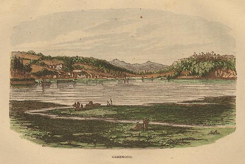 click to enlarge click to enlargeBB1E08.jpg Looking across the Leven Estuary to the village. "GREENODD" item:- JandMN : 69.9 Image © see bottom of page |
|||
|
|
||||
 Post Office maps Post Office maps |
||||
|
|
||||
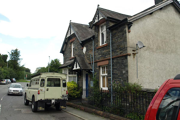
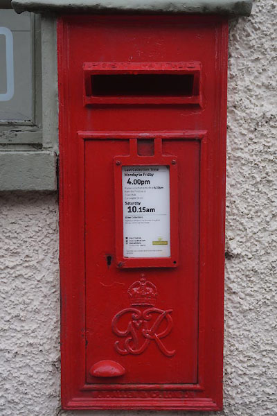
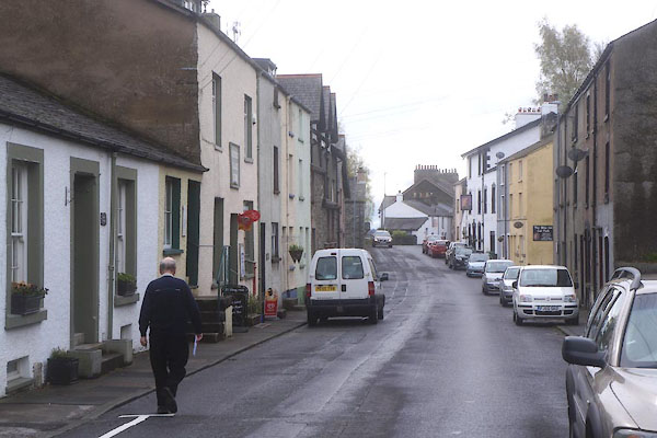
 BTI27.jpg (taken 13.8.2010) |
||||
|
|
||||
| places:- |
|
|||
|
||||
|
||||
|
||||
|
||||
|
||||
|
||||
|
||||
|
||||
|
||||
|
||||
|
||||
|
||||
|
||||
|
||||
|
||||
|
||||
Lakes Guides menu.