 Old Cumbria Gazetteer
 |
 |
|
| school, Greenodd | ||
| Penny Bridge CofE Primary School | ||
| Greenodd School | ||
| locality:- | Greenodd | |
| civil parish:- | Egton with Newland (formerly Lancashire) | |
| county:- | Cumbria | |
| locality type:- | school | |
| coordinates:- | SD31188261 | |
| 1Km square:- | SD3182 | |
| 10Km square:- | SD38 | |
|
|
||
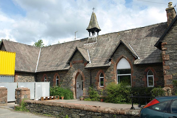
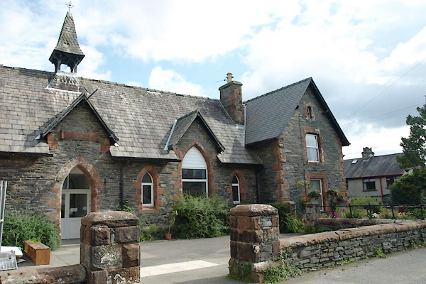 BTI25.jpg (taken 13.8.2010) 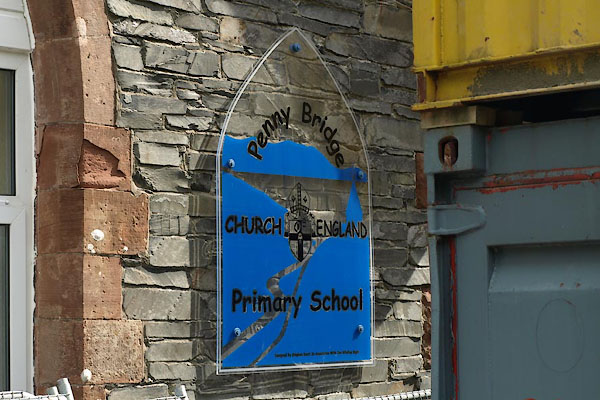 BTI29.jpg School sign:- "Penny Bridge / CHURCH OF ENGLAND / Primary SChool" (taken 13.8.2010) |
||
|
|
||
| evidence:- | old map:- OS County Series (Lan 11 8) |
|
| source data:- | Maps, County Series maps of Great Britain, scales 6 and 25
inches to 1 mile, published by the Ordnance Survey, Southampton,
Hampshire, from about 1863 to 1948. "School" |
|
|
|
||
 BTI23.jpg (taken 13.8.2010) 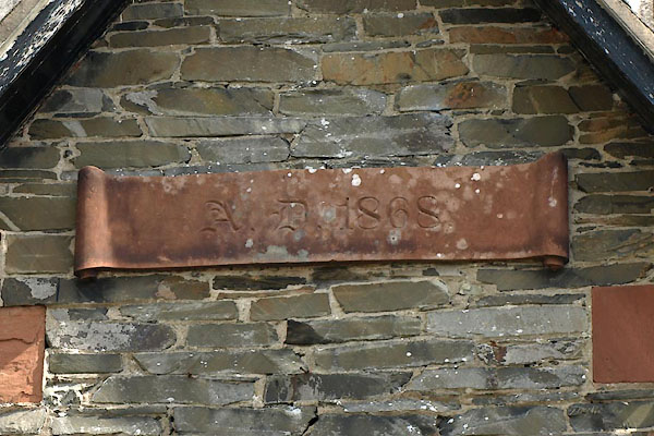 BTI24.jpg Plaque:- "A.D. 1868." (taken 13.8.2010) |
||
|
|
||
 Lakes Guides menu.