Old Cumbria Gazetteer
 |
 |
|
||
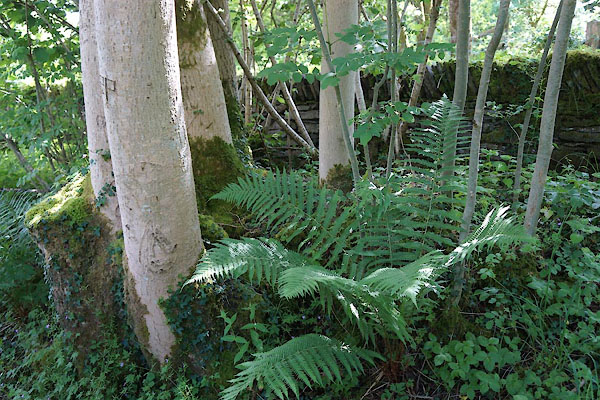
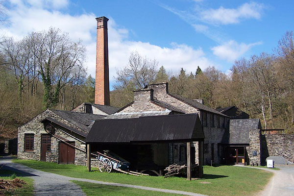
| Low Stott Park, Colton | ||||
| Low Stott Park | ||||
| civil parish:- | Colton (formerly Lancashire) | |||
| county:- | Cumbria | |||
| locality type:- | locality | |||
| locality type:- | buildings | |||
| coordinates:- | SD37278814 | |||
| 1Km square:- | SD3788 | |||
| 10Km square:- | SD38 | |||
|
|
||||
| evidence:- | old map:- Clarke 1787 map (Windermere S) placename:- Stott Park |
|||
| source data:- | Map, A Map of the Southern Part of the Lake Winandermere and its
Environs, scale about 6.5 ins to 1 mile, by James Clarke,
engraved by Samuel John Neele, 352 Strand, published by James
Clarke, Penrith, Cumberland and in London etc, 1787.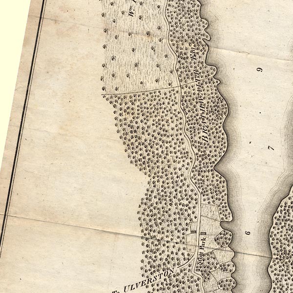 CLBSD38U.jpg "Stott Park" item:- private collection : 10.11 Image © see bottom of page |
|||
|
|
||||
| evidence:- | possibly old map:- Otley 1818 placename:- Stot Park |
|||
| source data:- | Map, uncoloured engraving, The District of the Lakes,
Cumberland, Westmorland, and Lancashire, scale about 4 miles to
1 inch, by Jonathan Otley, 1818, engraved by J and G Menzies,
Edinburgh, Scotland, published by Jonathan Otley, Keswick,
Cumberland, et al, 1833.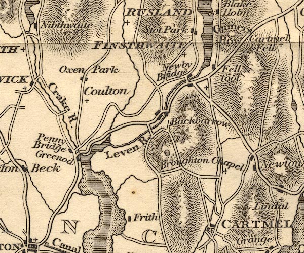 OT02SD38.jpg item:- JandMN : 48.1 Image © see bottom of page |
|||
|
|
||||
| places:- |
|
|||
|
||||
 Lakes Guides menu.