 Teesdale 1830

|

|
|
|
map type:- Teesdale 1830 |
|
|
|
Maps, Westmorland, scale about 8 miles to 1 inch, and
Cumberland, scale about 11 miles to 1 inch, by Henry
Teesdale and Co, 302 High Holborn, London, 1830.
Published in 'A New Travelling Atlas, containing a complete Set of County Maps, on which are Delineated all the Mail & Turnpike Roads, The Cities, Towns, Parks & Gentlemens Seats Preceded by General Maps of England & North & South wales. The whole Revised and Corrected to the year 1830. London Published by Henry Teesdale & Co., 302, High Holborn.' 1830. The atlas size is 6 3/4 x 8 5/8 ins. The plate appears to have been used, with few changes, in The Travelling Atlas, published by Collins, 1850. Published again, by lithographic transfer by John Heywood, 1860s. |
||

|
Collins 1850 | |
| map feature:- | plain cartouche & piano key border & compass rose & up is N & scale line & sea plain & coast form lines & rivers & lakes & relief & hill hachuring & parks & county & settlements & roads & railways | |
| inscription:- |
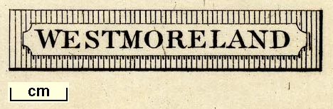
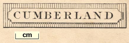
printed title cartouche, upper left
CUMBERLAND / INCLUDING THE LAKE DISTRICT. |
|
| wxh, sheet:- | 17.5x23cm | |
| wxh, map:- | 150x192mm | |
| scale line:- | 15 miles = 33.0 mm | |
| scale:- | 1 to 730000 ? (1 to 731520 from scale line) | |
|
||
|
||
| references:- |
Teesdale, Henry and Co: 1830: New Travelling Atlas:
(London) |
|
| sources:- |
Chubb 1927 (CCCCXVIII) Wordsworth Trust Collection Armitt Library JandMN Collection |
|
| items seen (illustrated items in bold):- | ||
|
|
Armitt Library : ALMC2008.14.92 -- map -- Westmoreland | |
|
|
Dove Cottage : 2009.81.15 -- map -- Cumberland | |
|
|
JandMN (87) -- map -- Cumberland including the Lake District | |
|
|
JandMN (93) -- map -- Cumberland | |
|
|
JandMN (450) -- map -- Westmoreland | |