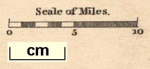
Maps, Westmorland, scale about 8 miles to 1 inch, and Cumberland, scale about 11 miles to 1 inch, by Henry Teesdale and Co, 302 High Holborn, London, 1830. (Teesdale 1830)
Lakes Guides menu.
 Lakes Guides menu.