


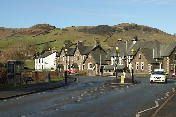
BTU63.jpg (taken 19.11.2010)
placename:- Staveley
placename:- Stanlay
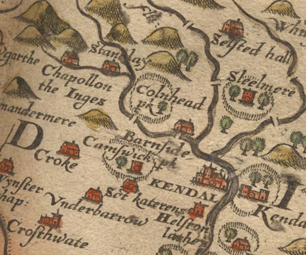
Sax9SD49.jpg
Building, symbol for a hamlet, which may or may not have a nucleus. "Stanlay"
item:- private collection : 2
Image © see bottom of page
placename:- Staneley Chapelry

MER5WmdA.jpg
"Staneley chap."
circle
item:- Armitt Library : 2008.14.3
Image © see bottom of page
placename:- Stanlay
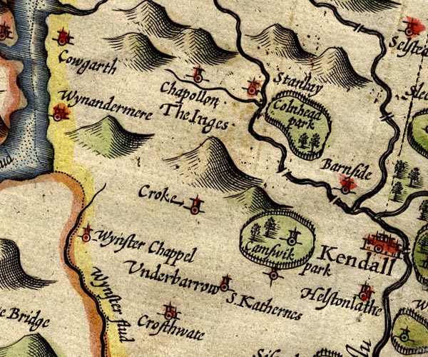
SP14SD49.jpg
"Stanlay"
circle, tower
item:- Armitt Library : 2008.14.5
Image © see bottom of page
placename:- Staveley
 goto source
Page 31:- "..."
"Leaving these [Kirkland and Kendal], to Staveley came I,"
"Where now all Night drinking am I;"
"Always frolick, free from Yellows,"
"With a Consort of good Fellows;"
"Where I'll stay, and end my Journey,"
"Till Brave Barnaby return a."
"..."
 goto source
Page 131:- "..."
"Now to Staveley strait repair I,"
"Where sweet Birds do hatch their airy"
"Arbours, Oziers freshly showing,"
"With soft mossy Rind o'ergrowing:"
"For Woods, Air, ALE, all excelling,"
"Would'st thou have a neater Dwelling?"
"..."
"Mirtil. Be't so, Faustulus! there repose thee,"
"Cheer thy Country with thy Poesy"
"Live, farewel, as thou deservest,"
"Rich in Arethusa's Harvest:"
"Under th' Beach while Shepherds rank thee"
"Zephyrus bless thee. Faust.] I do thank thee."
placename:- Stanlay
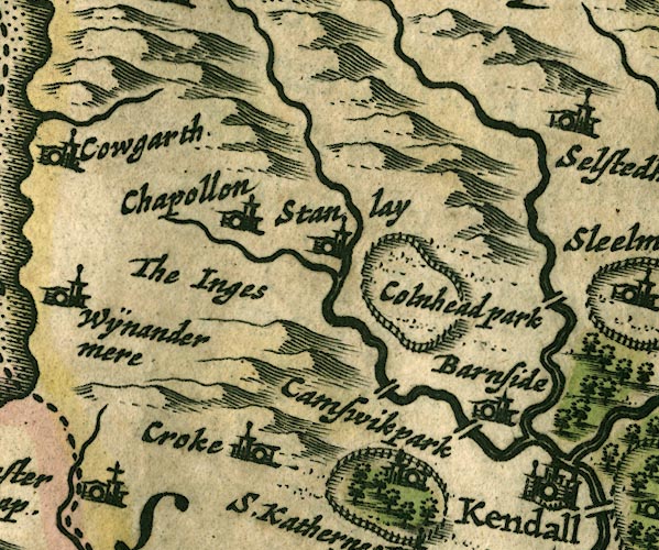
JAN3SD49.jpg
"Stanlay"
Buildings and tower.
item:- JandMN : 88
Image © see bottom of page
placename:- Staveleygate
"Staveleygate"
in "Upper Staveley"
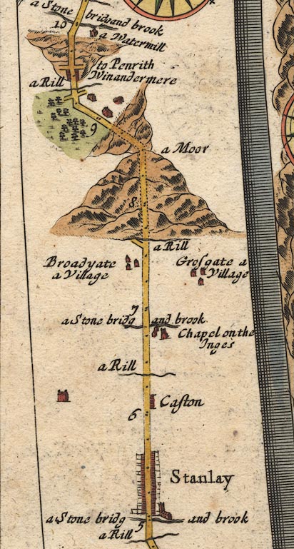
placename:- Stanlay
OG96m005.jpg
In mile 5, Westmoreland. "Stanlay"
church on the right of the road, and street of houses with gardens behind, each side of the road.
item:- JandMN : 22
Image © see bottom of page
placename:- Stanlay
"Stanlay"
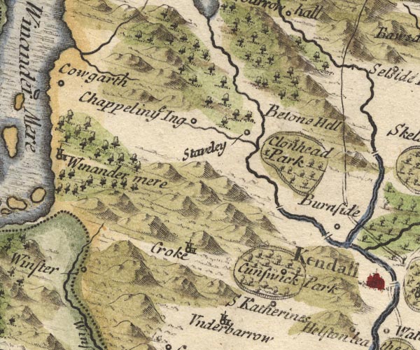
placename:- Staveley
MD10SD49.jpg
"Staveley"
Circle.
item:- JandMN : 24
Image © see bottom of page
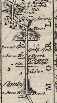
placename:- Stanley
B260m05.jpg
item:- private collection : 1.260
Image © see bottom of page
placename:- Staveley
 click to enlarge
BD12.jpg
"Staveley"
item:- Dove Cottage : 2007.38.62
Image © see bottom of page
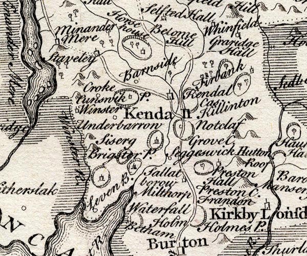
placename:- Staveley
SMP2SDP.jpg
"Staveley"
Building.
item:- Dove Cottage : 2007.38.59
Image © see bottom of page
placename:- Staveley
placename:- Stanley
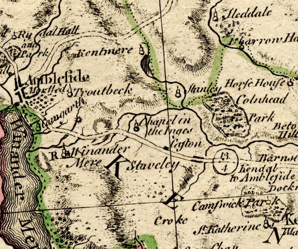
BO18SD39.jpg
"Staveley"
blocks on road; also "Stanley"
circle, tower, further up the Kent.
item:- Armitt Library : 2008.14.10
Image © see bottom of page
placename:- Stavely
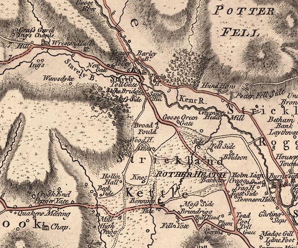
J5SD49NE.jpg
"Stavely"
blocks, labelled in upright lowercase text; settlement; town?
item:- National Library of Scotland : EME.s.47
Image © National Library of Scotland
placename:- Ings Chapel
 goto source
Addendum; Mr Gray's Journal, 1769
Page 213:- "..."
"[on the way to Kendal] Passed by Ings chapel, and Staveley; but I can say no farther, for the dusk of the evening coming on, ..."
placename:- Staveley
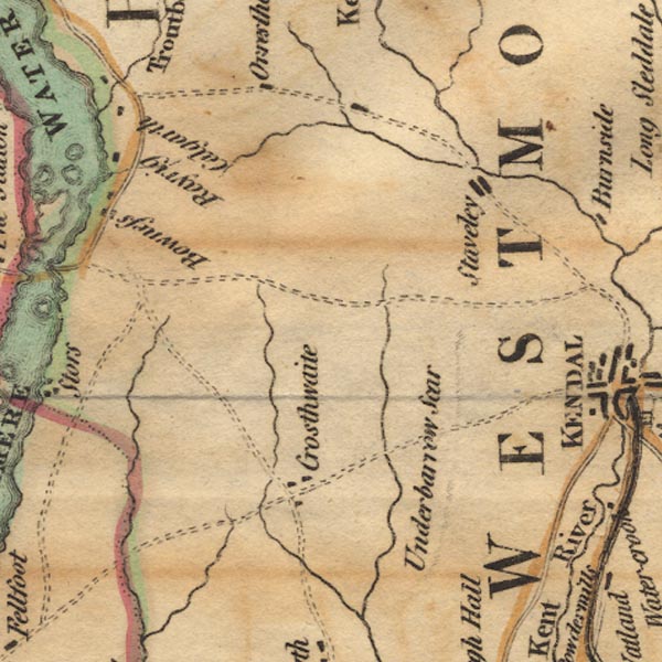
Ws02SD49.jpg
item:- Armitt Library : A1221.1
Image © see bottom of page
placename:- Stayely
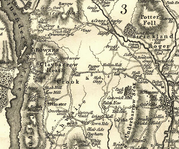
CY24SD49.jpg
"Stayely"
block/s, labelled in italic lowercase; house, or hamlet
item:- JandMN : 129
Image © see bottom of page
placename:- Staveley
 goto source
 click to enlarge
C38317.jpg
page 317-318 "Staveley"
item:- JandMN : 228.1
Image © see bottom of page
placename:- Staveley
 click to enlarge
GRA1Wd.jpg
"Staveley"
blocks, italic lowercase text, village, hamlet, locality
item:- Hampshire Museums : FA2000.62.4
Image © see bottom of page
placename:- Staveley
 click to enlarge
Lw18.jpg
"Staveley 269½"
village or other place; distance from London
item:- private collection : 18.18
Image © see bottom of page
placename:- Staveley
 click to enlarge
COP4.jpg
"Staveley"
circle; village or hamlet
item:- Dove Cottage : 2007.38.53
Image © see bottom of page
placename:- Staveley
 click to enlarge
WAL5.jpg
"Staveley"
village, hamlet, house, ...
item:- JandMN : 63
Image © see bottom of page
placename:- Staveley
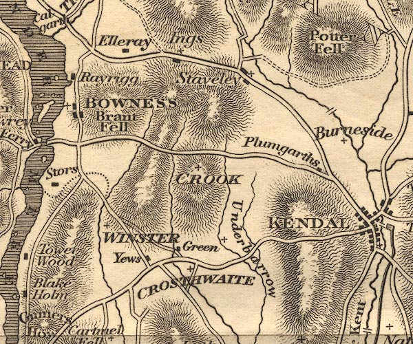
OT02SD49.jpg
item:- JandMN : 48.1
Image © see bottom of page
placename:- Stavely
 click to enlarge
HA18.jpg
"Stavely"
circle, italic lowercase text; settlement
item:- Armitt Library : 2008.14.58
Image © see bottom of page
placename:- Stavely
placename:- Staveley
 goto source
Page 23:- "... Five miles from Kendal is Stavely, situated in a deep and picturesque part of the vale of Kent. Drunken Barnaby resided here in his latter days. The chapel has a handsome tower and three bells."
 goto source
Page 159:- "..."
"Staveley, a large flourishing village, situated in a deep and picturesque part of the vale of Kent, where the Gowel-beck falls into that river."
placename:- Stavely
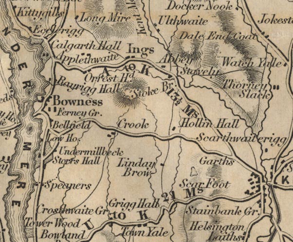
FD02SD49.jpg
"Stavely"
item:- JandMN : 100.1
Image © see bottom of page
placename:- Staveley
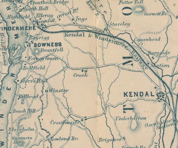
GAR2SD49.jpg
"Staveley"
blocks, settlement
item:- JandMN : 82.1
Image © see bottom of page
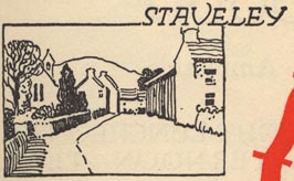
EJB3Vg32.jpg
item:- private collection : 17
Image © see bottom of page
placename:- Staveley
 click to enlarge
POF7Cm.jpg
"Staveley"
map date 1909
placename:- Staveley
 click to enlarge
PF10Cm.jpg
"Staveley"
map date 1892
placename:- Staveley
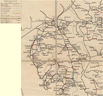 click to enlarge
POF2Cm.jpg
"Staveley"
map date 1890
 sundial, Fir Tree Corner
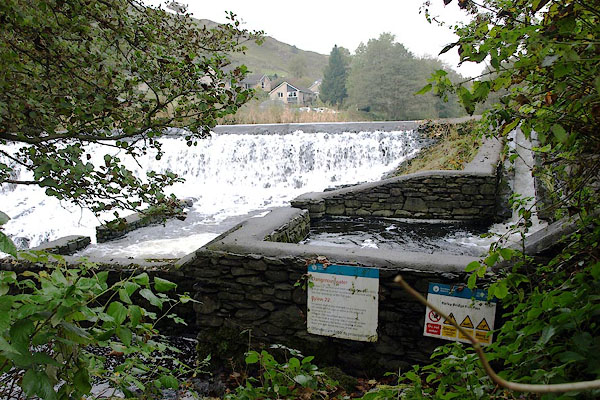 |
SD47039873 Barley Bridge Fish Pass (Over Staveley) |
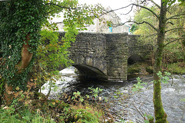 |
SD47029873 Barley Bridge (Over Staveley) L |
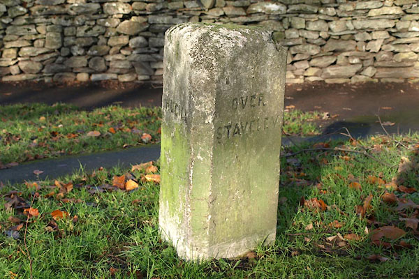 |
SD46759831 boundary stone, Staveley (Over Staveley / Hugill) |
 |
SD47159804 (Over Staveley) gone? |
 |
SD47129872 Bridge House (Over Staveley) |
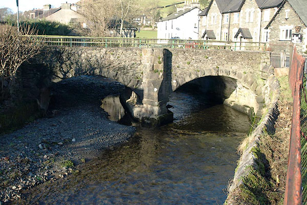 |
SD46999835 bridge, Staveley (Over Staveley) |
 |
SD47219829 Chadwick's Mill (Over Staveley) |
 |
SD46969843 chapel, Staveley (Over Staveley) gone? |
 |
SD46939874 Cragend (Hugill) |
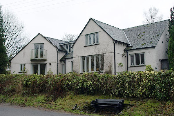 |
SD46999872 Craggside (Over Staveley) |
 |
SD46389851 Dan Hill (Over Staveley) |
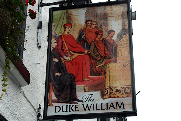 |
SD47129819 Duke William, The (Over Staveley) L |
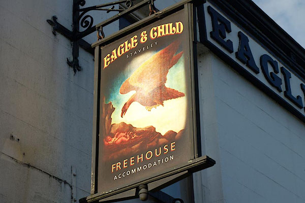 |
SD47219800 Eagle and Child (Over Staveley) |
 |
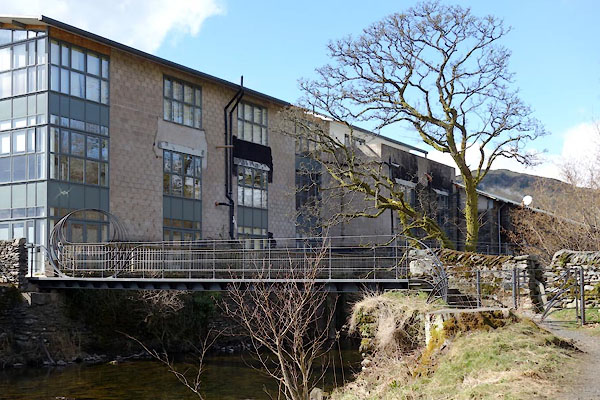
SD467975 Field Close (Nether Staveley) |
 |
SD47269825 footbridge, Staveley (Over Staveley) |
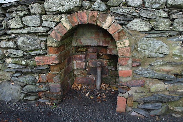 |
SD47139809 Gipsy Well (Over Staveley) |
 |
SD46929855 lockup, Staveley (Over Staveley) gone |
 |
SD47069869 mill, Staveley (Over Staveley) |
 |
SD46629827 Newgate Mill (Hugill) gone |
 |
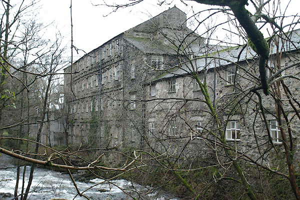
SD46599826 Newgate (Hugill) suggested |
 |
SD47049866 Old Mill (Over Staveley) L |
 |
SD47049824 Staveley Police Station (Over Staveley) gone |
 |
SD47129815 post box, Staveley (Over Staveley) |
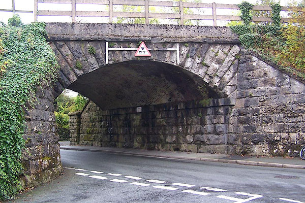 |
SD46949807 railway bridge, Staveley (Nether Staveley) |
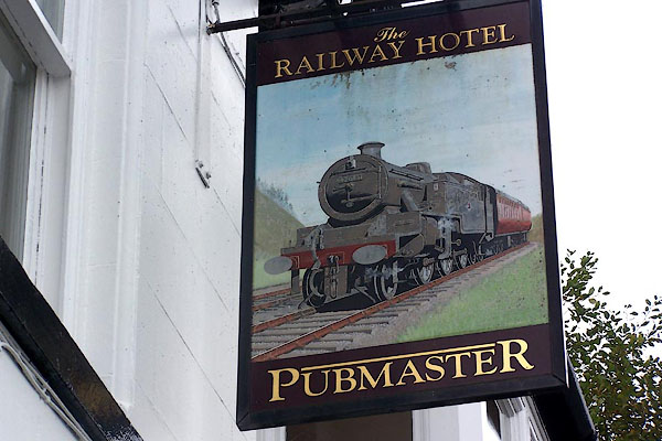 |
SD46969807 Railway Hotel (Nether Staveley) |
 |
SD46589822 Rawes Mill (Hugill) |
 |
SD46249833 Reston Mill (Hugill) |
 |
SD45619858 Reston (Hugill) |
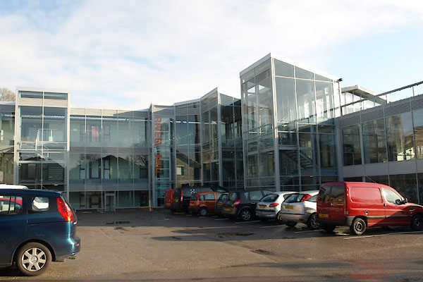 |
SD47219825 River Mill (Over Staveley) |
 |
SD47509775 Sandyhill (Nether Staveley) |
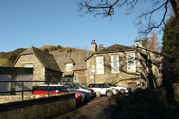 |
SD46899861 Staveley School (Over Staveley) |
 |
SD46249837 Seedhowe (Over Staveley) |
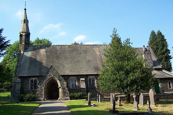 |
SD46939859 St James's Church (Over Staveley) L |
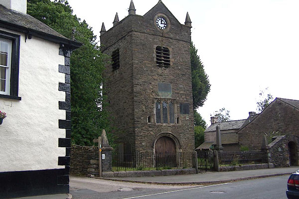 |
SD47139817 St Margaret's Tower (Over Staveley) L |
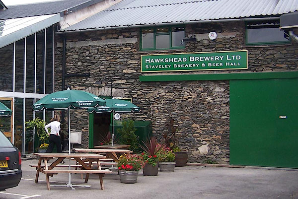 |
SD47199829 Staveley Brewery (Over Staveley) |
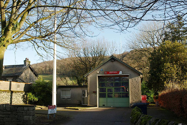 |
SD470984 Staveley Fire Station (Over Staveley) |
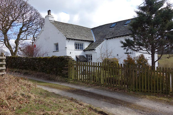 |
SD47379821 Staveley Park (Over Staveley) L |
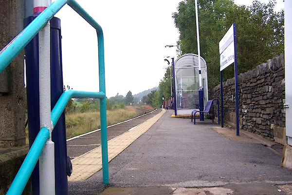 |
SD46919809 Staveley Station (Nether Staveley) |
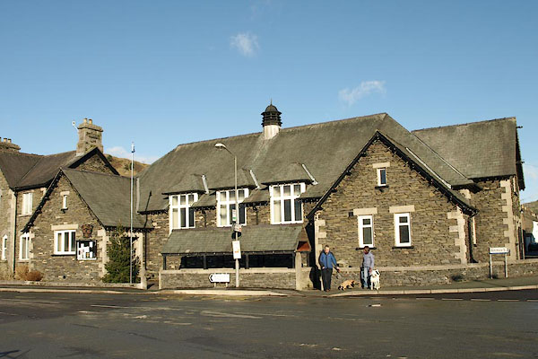 |
SD46969836 Staveley Village Hall (Over Staveley) |
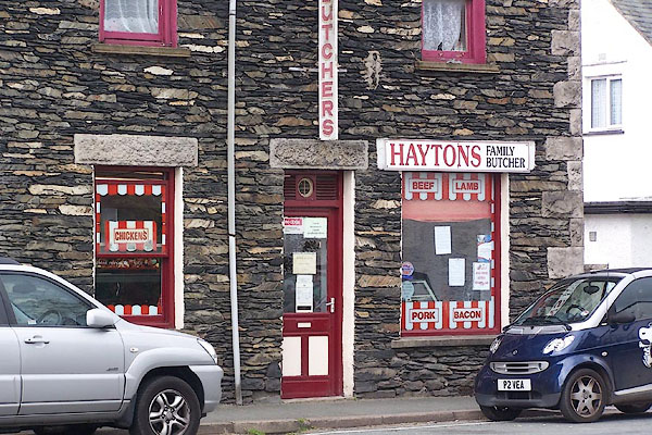 |
SD47069824 Haytons Family Butcher (Over Staveley) |
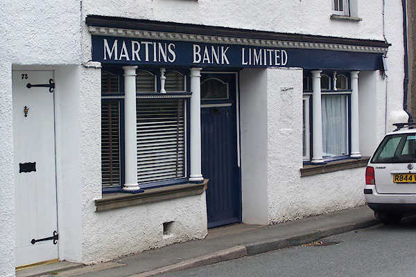 |
SD47149812 Martins Bank (Over Staveley) |
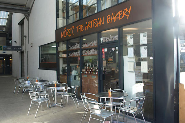 |
SD47199826 More? The Artisan Bakery (Over Staveley) |
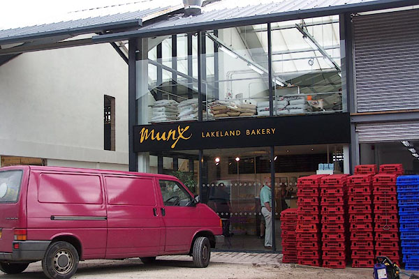 |
SD47199826 Munx Lakeland Bakery (Over Staveley) |
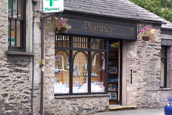 |
SD47039828 Pharmacy (Over Staveley) |
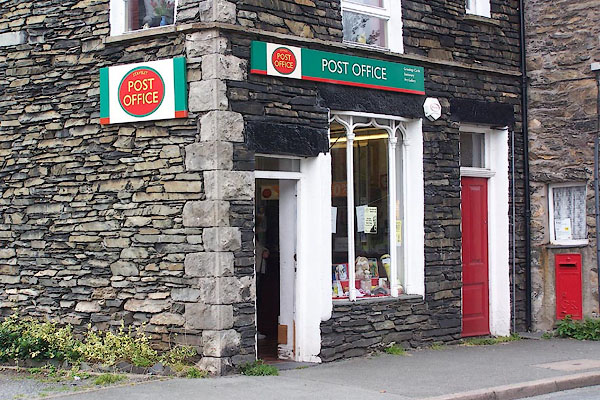 |
SD47129815 Staveley Post Office (Over Staveley) |
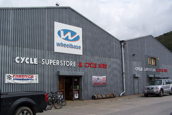 |
SD47149827 Wheelbase (Over Staveley) |
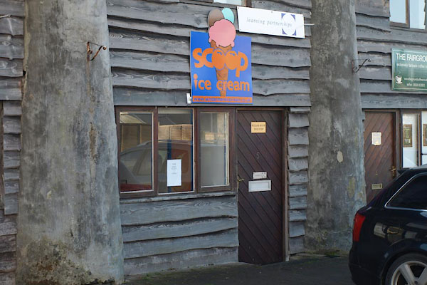 |
SD47139825 Windermere Ice Cream and Chocolate Co (Over Staveley) |
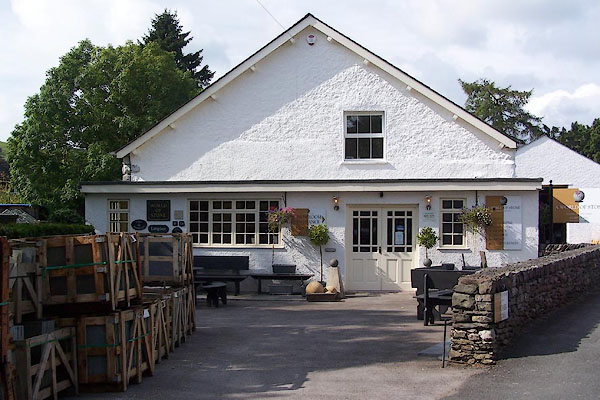 |
SD46719830 World of Stone (Over Staveley) |
 |
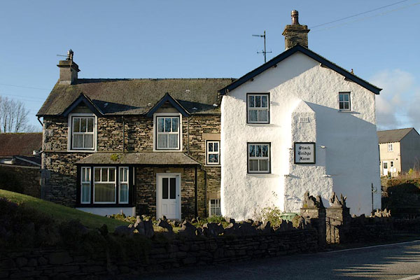
SD47149810 stepping stones, Staveley (Over Staveley) gone? |
 |
SD47339776 Stock Bridge Farm (Over Staveley / Nether Staveley) |
 |
SD47359779 Stockbridge (Nether Staveley) |
 |
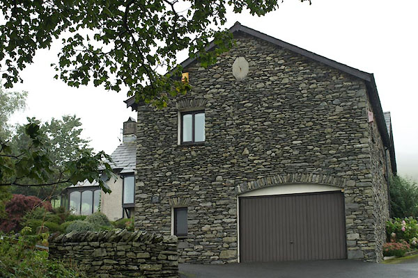
SD46769850 Sunny Brow Farm (Over Staveley) |
 |
SD46739847 Sunny Brow House (Over Staveley) |
 |
SD46739870 Sunnybank (Hugill) |
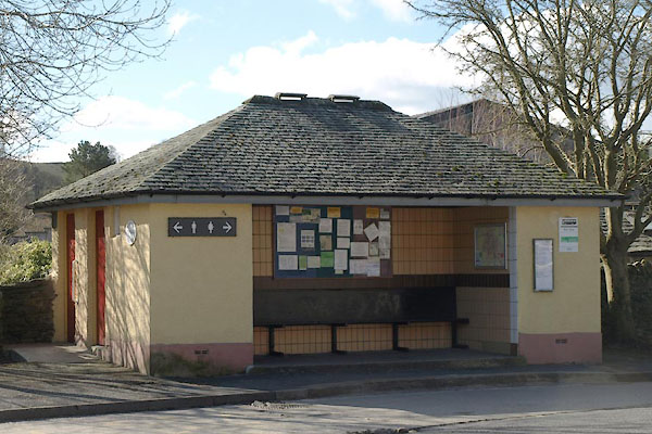 |
SD46959838 toilet, Staveley (Over Staveley) |
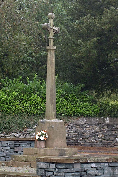 |
SD47009854 war memorial, Staveley (Over Staveley) |
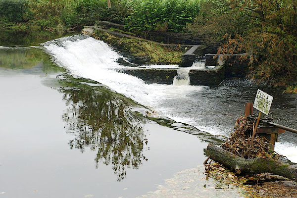 |
SD47059873 Barley Bridge Weir (Over Staveley) |
 |
SD47549799 Woodyhowe Coppice (Over Staveley) |
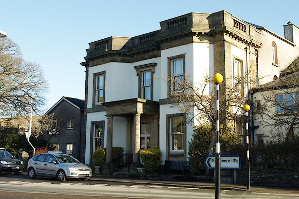 |
SD47029835 Abbey Hotel (Over Staveley) |
 |
SD47229800 toll gate, Nether Staveley (Nether Staveley) gone |
 |
SD47679751 milestone, Over Staveley (2) (Over Staveley) gone |
 |
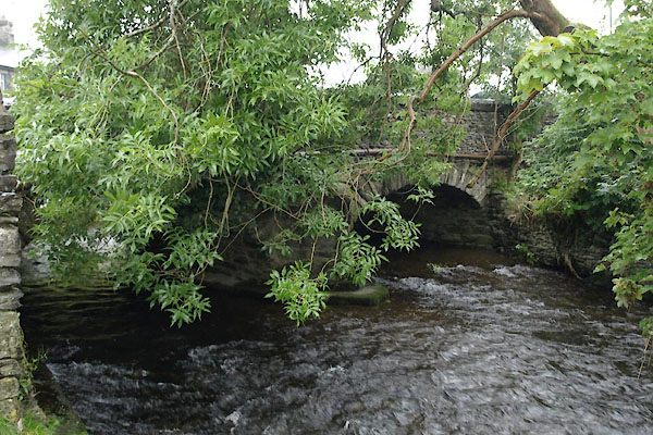
SD46549831 milestone, Over Staveley (Over Staveley) gone |
 |
SD47209805 Gowan Bridge (Over Staveley / Nether Staveley) |
