 Old Cumbria Gazetteer
 |
 |
|
| Staveley Station, Staveley | ||
| Staveley Station | ||
| site name:- | Kendal and Windermere Railway | |
| locality:- | Staveley | |
| civil parish:- | Nether Staveley (formerly Westmorland) | |
| county:- | Cumbria | |
| locality type:- | railway station | |
| coordinates:- | SD46919809 | |
| 1Km square:- | SD4698 | |
| 10Km square:- | SD49 | |
| SummaryText:- | Opened with the railway 1847. | |
|
|
||
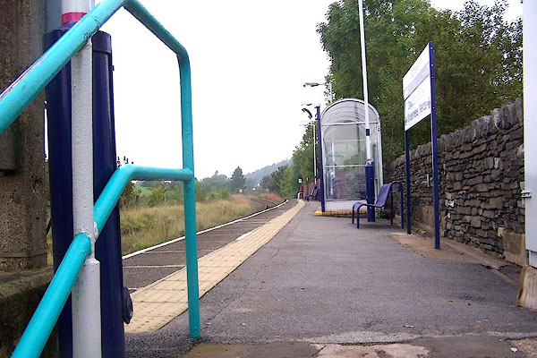 BJX53.jpg (taken 7.10.2005) |
||
|
|
||
| evidence:- | old map:- OS County Series (Wmd 33 6) item:- railway signal; railway bridge |
|
| source data:- | Maps, County Series maps of Great Britain, scales 6 and 25
inches to 1 mile, published by the Ordnance Survey, Southampton,
Hampshire, from about 1863 to 1948. OS County Series (Wmd 33 10) 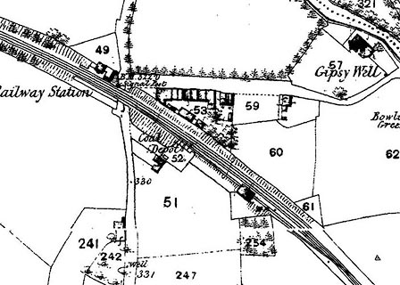 click to enlarge click to enlargeCSRY0173.jpg "Railway Station / Signal Post / Coal Depot" |
|
|
|
||
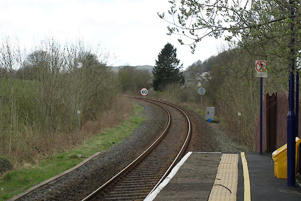 BWE70.jpg View W. (taken 5.4.2012) 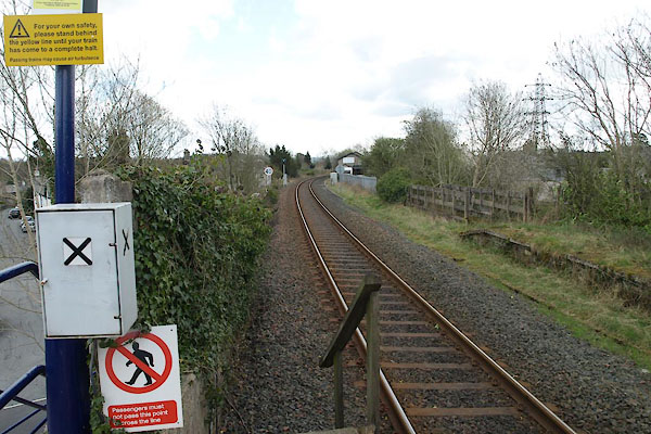 BWE71.jpg View E. (taken 5.4.2012) |
||
|
|
||
 Lakes Guides menu.