 Old Cumbria Gazetteer
 |
 |
|
| school, Staveley | ||
| Staveley School | ||
| locality:- | Staveley | |
| civil parish:- | Over Staveley (formerly Westmorland) | |
| county:- | Cumbria | |
| locality type:- | school (once) | |
| coordinates:- | SD46899861 | |
| 1Km square:- | SD4698 | |
| 10Km square:- | SD49 | |
| references:- | OS County Series |
|
|
|
||
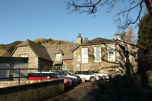 BSA23.jpg Old building. (taken 29.1.2010) 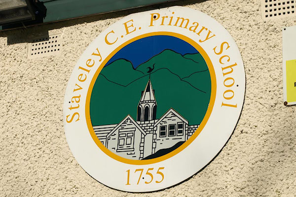 BSA22.jpg School badge. (taken 29.1.2010) |
||
|
|
||
| evidence:- | old map:- OS County Series (Wmd 33 6) |
|
| source data:- | Maps, County Series maps of Great Britain, scales 6 and 25
inches to 1 mile, published by the Ordnance Survey, Southampton,
Hampshire, from about 1863 to 1948. "Free Grammar School" |
|
|
|
||
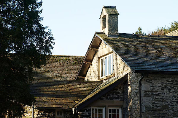 BSA24.jpg Old building. (taken 29.1.2010) 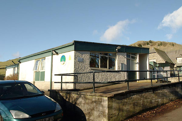 BSA21.jpg New building. (taken 29.1.2010) |
||
|
|
||
 Lakes Guides menu.