Old Cumbria Gazetteer
 |
 |
|
|||||||||||||||||||||||||||
| Little Langdale, Lakes | |||||||||||||||||||||||||||||
| Little Langdale | |||||||||||||||||||||||||||||
| locality:- | Langdales | ||||||||||||||||||||||||||||
| civil parish:- | Lakes (formerly Westmorland) | ||||||||||||||||||||||||||||
| county:- | Cumbria | ||||||||||||||||||||||||||||
| locality type:- | locality | ||||||||||||||||||||||||||||
| locality type:- | buildings | ||||||||||||||||||||||||||||
| locality type:- | valley | ||||||||||||||||||||||||||||
| coordinates:- | NY31580339 (etc) | ||||||||||||||||||||||||||||
| 1Km square:- | NY3103 | ||||||||||||||||||||||||||||
| 10Km square:- | NY30 | ||||||||||||||||||||||||||||
|
|
|||||||||||||||||||||||||||||
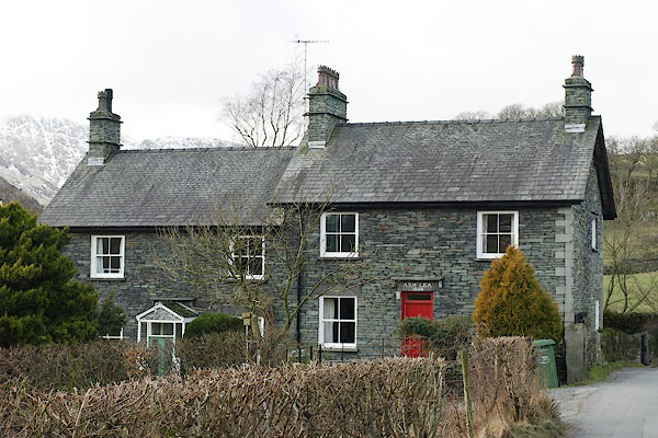
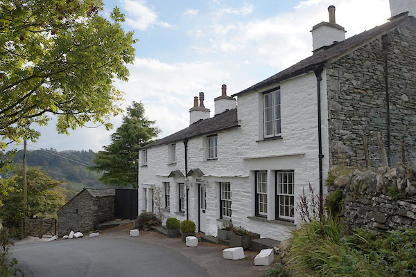
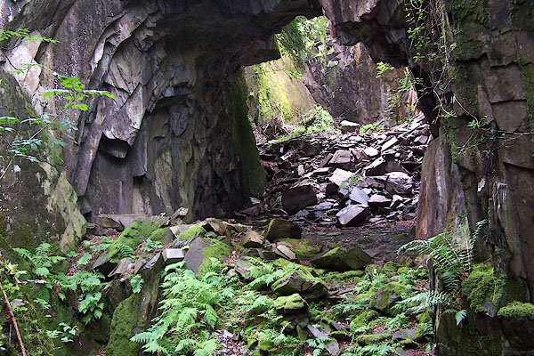
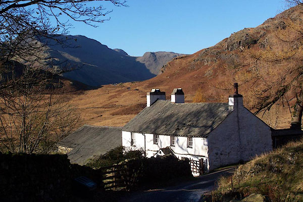
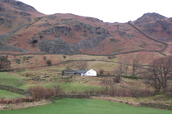
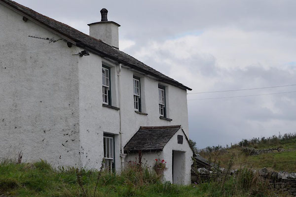
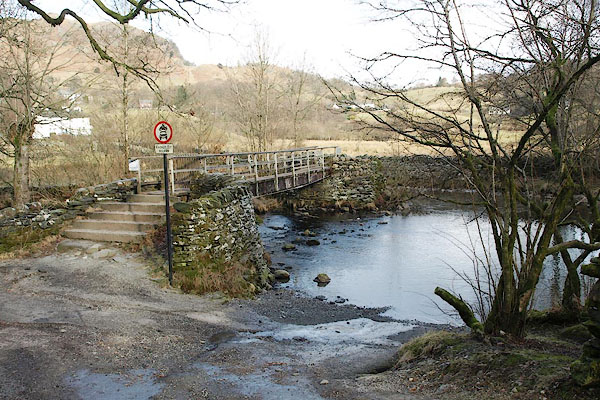
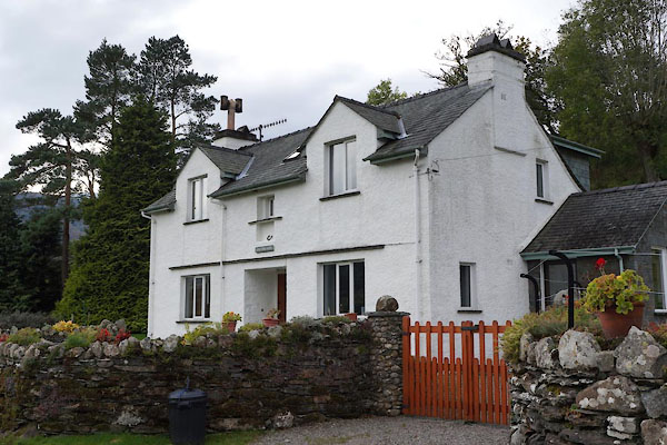
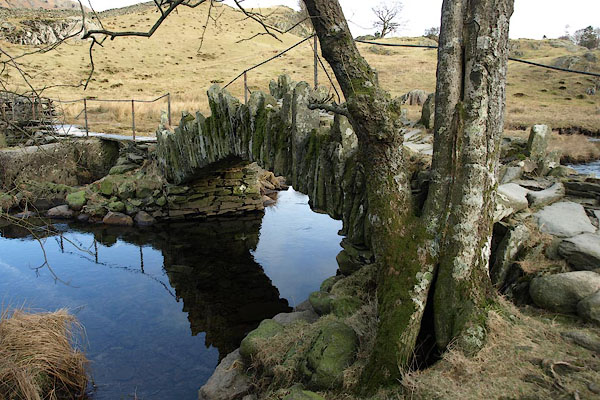
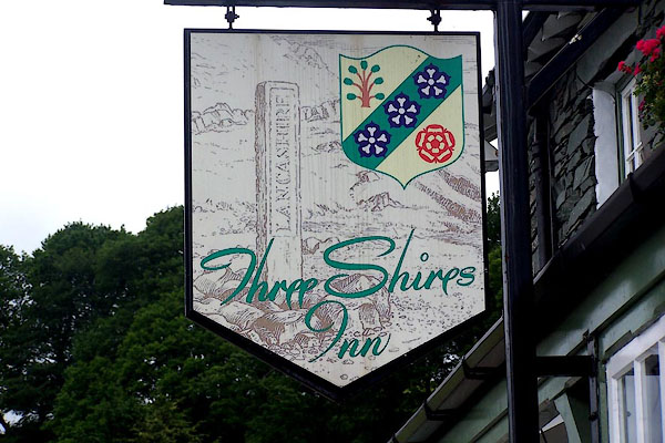
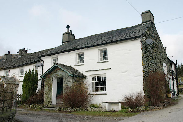
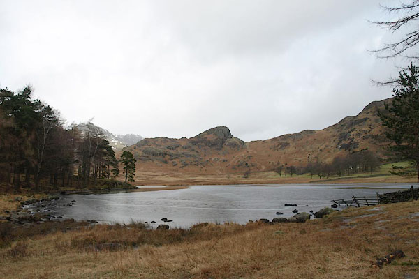
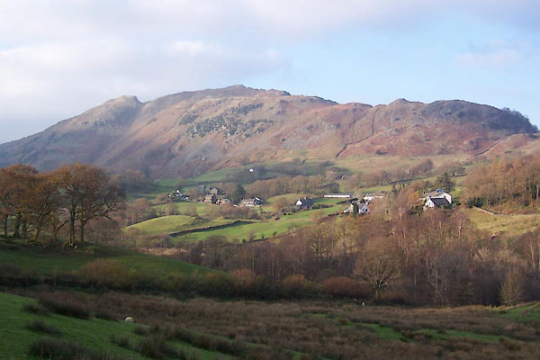 BVR82.jpg (taken 15.11.2011) 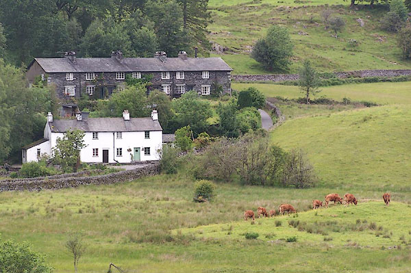 BMH15.jpg ... houses. (taken 23.6.2006) |
|||||||||||||||||||||||||||||
|
|
|||||||||||||||||||||||||||||
| evidence:- | old map:- Saxton 1579 placename:- Langdale Parva |
||||||||||||||||||||||||||||
| source data:- | Map, hand coloured engraving, Westmorlandiae et Cumberlandiae Comitatus ie Westmorland
and Cumberland, scale about 5 miles to 1 inch, by Christopher Saxton, London, engraved
by Augustinus Ryther, 1576, published 1579-1645.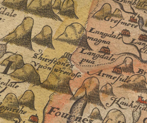 Sax9NY20.jpg Building, symbol for a hamlet, which may or may not have a nucleus. "Langdale p~va" item:- private collection : 2 Image © see bottom of page |
||||||||||||||||||||||||||||
|
|
|||||||||||||||||||||||||||||
| evidence:- | old map:- Speed 1611 (Wmd) placename:- Little Langdale |
||||||||||||||||||||||||||||
| source data:- | Map, hand coloured engraving, The Countie Westmorland and
Kendale the Cheif Towne, scale about 2.5 miles to 1 inch, by
John Speed, 1610, published by George Humble, Popes Head Alley,
London, 1611-12.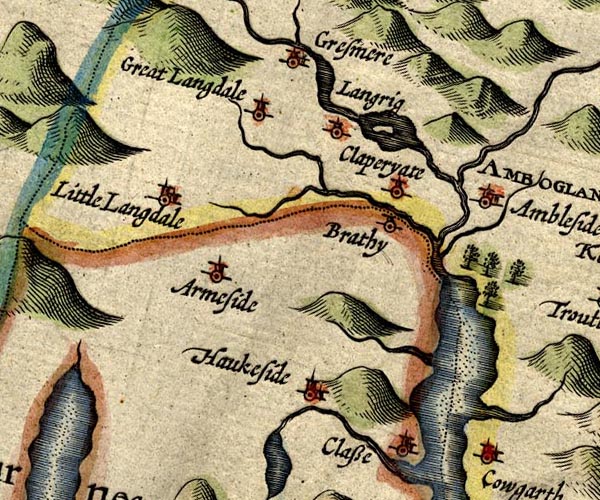 SP14NY30.jpg "Little Langdale" circle, building and tower item:- Armitt Library : 2008.14.5 Image © see bottom of page |
||||||||||||||||||||||||||||
|
|
|||||||||||||||||||||||||||||
| evidence:- | old map:- Jenner 1643 placename:- Langdala |
||||||||||||||||||||||||||||
| source data:- | Table of distances, with map, hand coloured engraving,
Westmerland ie Westmorland, scale about 16 miles to 1 inch,
engraved by Jacob van Langeren, published by Thomas Jenner,
Cornhill, London, 1643. JEN3Sq.jpg "Langdala" dot, circle, tower item:- private collection : 52.Wmd Image © see bottom of page |
||||||||||||||||||||||||||||
|
|
|||||||||||||||||||||||||||||
| evidence:- | old map:- Jansson 1646 placename:- Little Langdale |
||||||||||||||||||||||||||||
| source data:- | Map, hand coloured engraving, Cumbria and Westmoria, ie
Cumberland and Westmorland, scale about 3.5 miles to 1 inch, by
John Jansson, Amsterdam, Netherlands, 1646. JAN3NY30.jpg "Litt. Langdale" Buildings and tower. item:- JandMN : 88 Image © see bottom of page |
||||||||||||||||||||||||||||
|
|
|||||||||||||||||||||||||||||
| evidence:- | hearth tax returns:- Hearth Tax 1675 placename:- Langdale |
||||||||||||||||||||||||||||
| source data:- | Records, hearth tax survey returns, Westmorland, 1674/75. "Langdale" |
||||||||||||||||||||||||||||
|
|
|||||||||||||||||||||||||||||
| evidence:- | hearth tax returns:- Hearth Tax 1670 placename:- Langdaile |
||||||||||||||||||||||||||||
| source data:- | Records, hearth tax returns, exchequer duplicates, Westmorland,
1670. "Langdaile" |
||||||||||||||||||||||||||||
|
|
|||||||||||||||||||||||||||||
| evidence:- | old map:- Seller 1694 (Wmd) placename:- Little Langdale |
||||||||||||||||||||||||||||
| source data:- | Map, hand coloured engraving, Westmorland, scale about 8 miles
to 1 inch, by John Seller, 1694. click to enlarge click to enlargeSEL7.jpg "Little Langdale" circle, italic lowercase text; settlement or house item:- Dove Cottage : 2007.38.87 Image © see bottom of page |
||||||||||||||||||||||||||||
|
|
|||||||||||||||||||||||||||||
| evidence:- | old map:- Morden 1695 (Cmd) placename:- Litle Langdale |
||||||||||||||||||||||||||||
| source data:- | Map, uncoloured engraving, Cumberland, scale about 4 miles to 1
inch, by Robert Morden, 1695, published by Abel Swale, the
Unicorn, St Paul's Churchyard, Awnsham, and John Churchill, the
Black Swan, Paternoster Row, London, 1695-1715.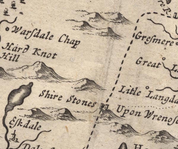 MD12NY20.jpg "Litle Langdale" Circle. item:- JandMN : 90 Image © see bottom of page |
||||||||||||||||||||||||||||
|
|
|||||||||||||||||||||||||||||
| evidence:- | old map:- Badeslade 1742 placename:- Little Langdale |
||||||||||||||||||||||||||||
| source data:- | Map, uncoloured engraving, A Map of Westmorland North from
London, scale about 10 miles to 1 inch, with descriptive text,
by Thomas Badeslade, London, engraved and published by William
Henry Toms, Union Court, Holborn, London, 1742. click to enlarge click to enlargeBD12.jpg "L. Langdale" circle, italic lowercase text; village, hamlet or locality item:- Dove Cottage : 2007.38.62 Image © see bottom of page |
||||||||||||||||||||||||||||
|
|
|||||||||||||||||||||||||||||
| evidence:- | old map:- Simpson 1746 map (Wmd) placename:- Langdale |
||||||||||||||||||||||||||||
| source data:- | Map, uncoloured engraving, Westmorland, scale about 8 miles to 1
inch, printed by R Walker, Fleet Lane, London, 1746.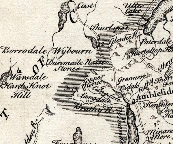 SMP2NYF.jpg "Langdale" Building. item:- Dove Cottage : 2007.38.59 Image © see bottom of page |
||||||||||||||||||||||||||||
|
|
|||||||||||||||||||||||||||||
| evidence:- | old map:- Bowen and Kitchin 1760 placename:- Langdale Far |
||||||||||||||||||||||||||||
| source data:- | Map, hand coloured engraving, A New Map of the Counties of
Cumberland and Westmoreland Divided into their Respective Wards,
scale about 4 miles to 1 inch, by Emanuel Bowen and Thomas
Kitchin et al, published by T Bowles, Robert Sayer, and John
Bowles, London, 1760. BO18SD29.jpg "Langdale Far" circle, tower item:- Armitt Library : 2008.14.10 Image © see bottom of page |
||||||||||||||||||||||||||||
|
|
|||||||||||||||||||||||||||||
| evidence:- | old map:- Jefferys 1770 (Wmd) placename:- Little Langdale placename:- Langdale, Little |
||||||||||||||||||||||||||||
| source data:- | Map, 4 sheets, The County of Westmoreland, scale 1 inch to 1
mile, surveyed 1768, and engraved and published by Thomas
Jefferys, London, 1770. J5NY20SE.jpg 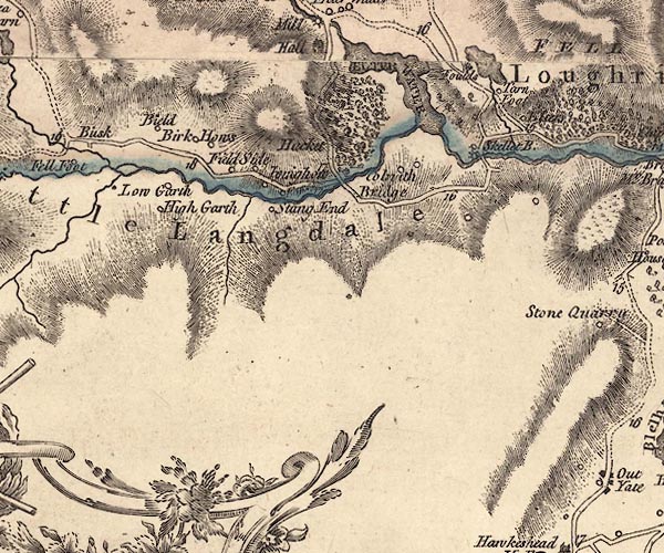 J5NY30SW.jpg "Little Langdale" hill hachuring; valley, across county boundary item:- National Library of Scotland : EME.s.47 Images © National Library of Scotland |
||||||||||||||||||||||||||||
|
|
|||||||||||||||||||||||||||||
| evidence:- | descriptive text:- West 1778 (11th edn 1821) placename:- Higher Langdale |
||||||||||||||||||||||||||||
| source data:- | Guide book, A Guide to the Lakes, by Thomas West, published by
William Pennington, Kendal, Cumbria once Westmorland, and in
London, 1778 to 1821. goto source goto sourceRev Plumtre's Night Piece on Windermere, 1797 Page 230:- "Colwith-Force is a very fine, though a small cascade, in Little, or Higher Langdale. ..." |
||||||||||||||||||||||||||||
|
|
|||||||||||||||||||||||||||||
| evidence:- | old map:- Cary 1789 (edn 1805) placename:- Little Langdale placename:- Langdale, Little |
||||||||||||||||||||||||||||
| source data:- | Map, uncoloured engraving, Westmoreland, scale about 2.5 miles
to 1 inch, by John Cary, London, 1789; edition 1805.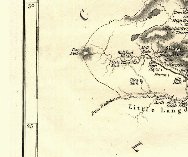 CY24NY20.jpg "Little Langdale" valley in Westmorland and Lancashire item:- JandMN : 129 Image © see bottom of page |
||||||||||||||||||||||||||||
|
|
|||||||||||||||||||||||||||||
| evidence:- | old text:- Green 1814 placename:- Little Langdale |
||||||||||||||||||||||||||||
| source data:- | Set of prints, soft ground etchings, Sixty Small Prints, with
text, A Description of a Series of Sixty Small Prints, by
William Green, Ambleside, Westmorland, 1814. goto source page 9:- "... the vales of Langdale are considered by some people of taste as the finest in the north of England. ..." |
||||||||||||||||||||||||||||
|
|
|||||||||||||||||||||||||||||
| evidence:- | descriptive text:- Ford 1839 (3rd edn 1843) placename:- Langdale |
||||||||||||||||||||||||||||
| source data:- | Guide book, A Description of Scenery in the Lake District, by
Rev William Ford, published by Charles Thurnam, Carlisle, by W
Edwards, 12 Ave Maria Lane, Charles Tilt, Fleet Street, William
Smith, 113 Fleet Street, London, by Currie and Bowman,
Newcastle, by Bancks and Co, Manchester, by Oliver and Boyd,
Edinburgh, and by Sinclair, Dumfries, 1839. goto source Page 162:- "..." "A more extended excursion generally performed from Ambleside, is that into Langdale, which may be made partly in carriages, although it is more usual to effect it in carts, which way will indeed be found the most convenient and suitable to the roads, as well as enabling the tourist to carry the necessary creature comforts for a mountain ramble. The traveller may proceed, first, to Skelwith Bridge, three miles, just above which is the wild waterfall, called Skelwith Force; then by a road commanding views of Elter Water and great Langdale, he may proceed to Colwith Force, five miles from Ambleside. Three miles up Little Langdale, over a slack on the right, is Blea Tarn, so faithfully depicted in Wordsworth's 'Excursion.' ..." goto sourcePage 163:- "... A road back by Langdale Chapel, will bring him again to Ambleside, after a circuit of nineteen miles, viz.:"
|
||||||||||||||||||||||||||||
|
|
|||||||||||||||||||||||||||||
| evidence:- | old map:- Ford 1839 map placename:- Little Langdale |
||||||||||||||||||||||||||||
| source data:- | Map, uncoloured engraving, Map of the Lake District of
Cumberland, Westmoreland and Lancashire, scale about 3.5 miles
to 1 inch, published by Charles Thurnam, Carlisle, and by R
Groombridge, 5 Paternoster Row, London, 3rd edn 1843.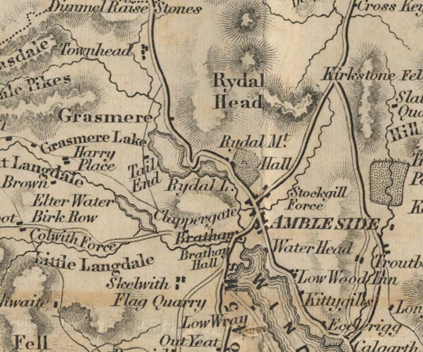 FD02NY30.jpg "Little Langdale" Area. item:- JandMN : 100.1 Image © see bottom of page |
||||||||||||||||||||||||||||
|
|
|||||||||||||||||||||||||||||
| evidence:- | old drawing:- Aspland 1840s-60s |
||||||||||||||||||||||||||||
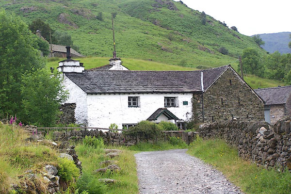
| source data:- | Drawing, pencil, outline sketch, farm near Fell Foot, Little Langdale, Westmorland,
by Theophilus Lindsey Aspland, 1849.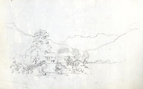 click to enlarge click to enlargeAS0162.jpg item:- Armitt Library : 1958.487.62 Image © see bottom of page |
||||||||||||||||||||||||||||
|
|
|||||||||||||||||||||||||||||
| evidence:- | old drawing:- Aspland 1840s-60s |
||||||||||||||||||||||||||||
| source data:- | Drawing, pencil and ink wash, farm near Fell Foot, Little Langdale, Westmorland, by
Theophilus Lindsey Aspland, 1849.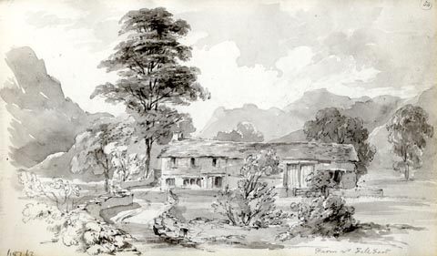 click to enlarge click to enlargeAS0163.jpg "Farm nr Fell Foot" item:- Armitt Library : 1958.487.63 Image © see bottom of page |
||||||||||||||||||||||||||||
|
|
|||||||||||||||||||||||||||||
 Martineau Directory 1855 Martineau Directory 1855 |
|||||||||||||||||||||||||||||
|
|
|||||||||||||||||||||||||||||
| evidence:- | old photograph:- Bell 1880s-1940s |
||||||||||||||||||||||||||||
| source data:- | Photograph, sepia, Blea Tarn in Little Langdale, the Langdale Pikes behind, Langdale,
Westmorland, by Herbert Bell, photographer, Ambleside, Westmorland, 1890s.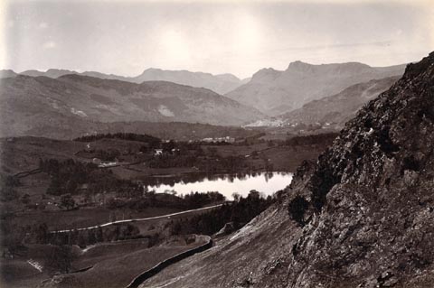 click to enlarge click to enlargeHB0878.jpg internegative at lower left:- "H. Bell" item:- Armitt Library : ALPS549 Image © see bottom of page |
||||||||||||||||||||||||||||
|
|
|||||||||||||||||||||||||||||
| evidence:- | old print:- MacBride 1922 placename:- Little Langdale |
||||||||||||||||||||||||||||
| source data:- | Print, colour, Farmstead, Little Langdale, by Alfred Heaton Cooper, published by Adam
and Charles Black, 4-6 Soho Square, London, 2nd edn 1928.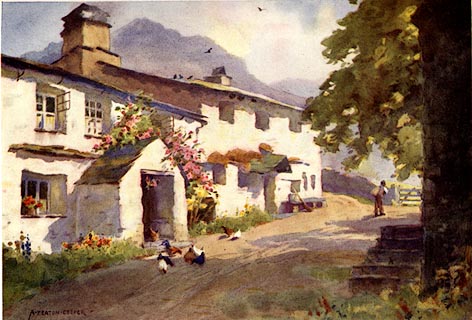 click to enlarge click to enlargeMB0111.jpg Tipped in opposite p.64 in Wild Lakeland by MacKenzie MacBride. printed at bottom:- "SPRINKLING TARN AND GREAT GABLE" signed at lower right:- "A. HEATON COOPER" item:- JandMN : 195.13 Image © see bottom of page |
||||||||||||||||||||||||||||
|
|
|||||||||||||||||||||||||||||
| evidence:- | old drawing:- Brockbank 1870s |
||||||||||||||||||||||||||||
| source data:- | Drawing, pencil and ink wash, roche moutonnee, Little Langdale? Langdales, Westmorland,
by WH, 19 September July 1870, used by William Brockbank.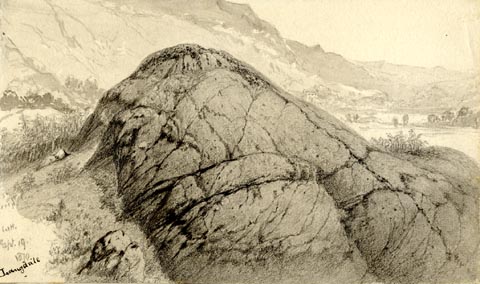 click to enlarge click to enlargePR1931.jpg "WH. / Sept. 19. / 1870 / Langdale" "Iceworn Rock in Langdale - / W. Brockbank. F.G.S / 26" item:- Armitt Library : 1959.68.26 Image © see bottom of page |
||||||||||||||||||||||||||||
|
|
|||||||||||||||||||||||||||||
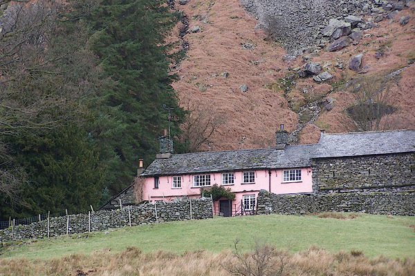
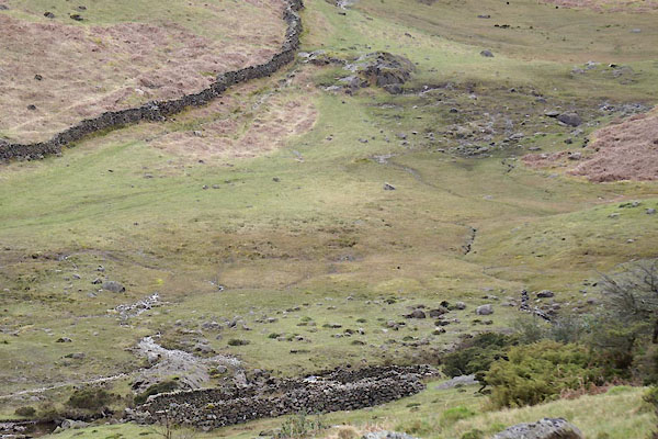
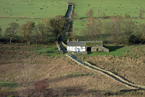
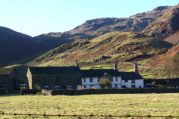
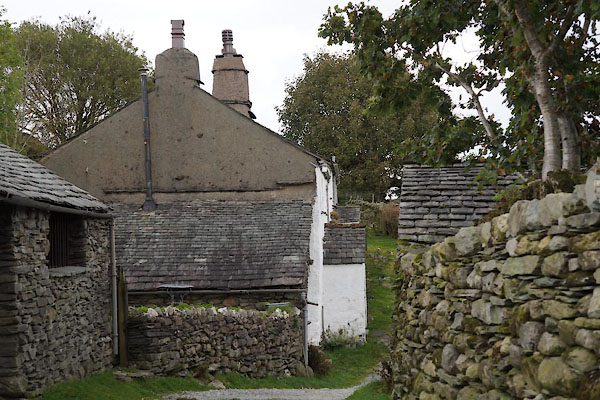
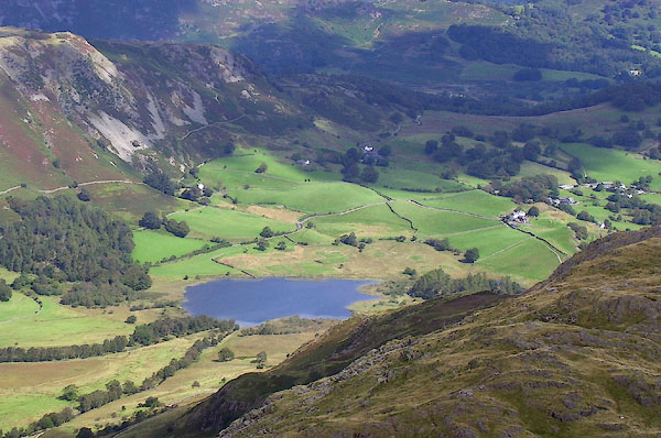
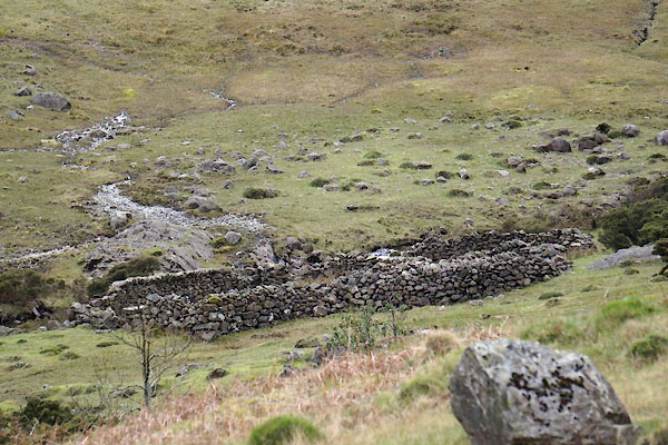
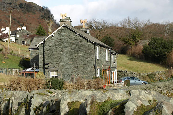
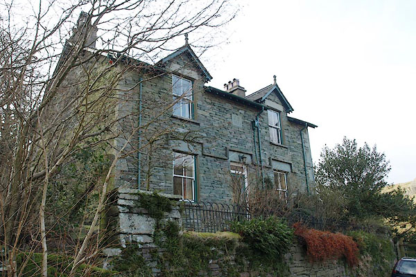
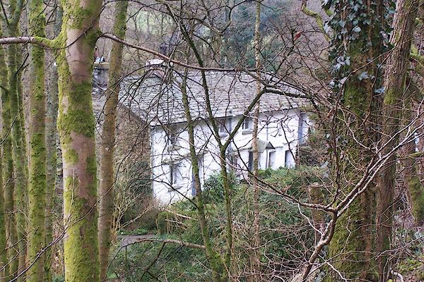
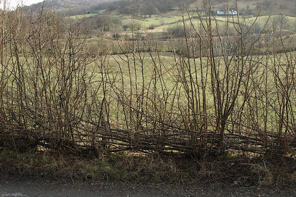
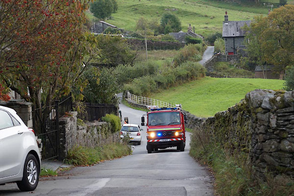 BZL47.jpg Fire engine heading towards Wrynose. (taken 15.10.2013) 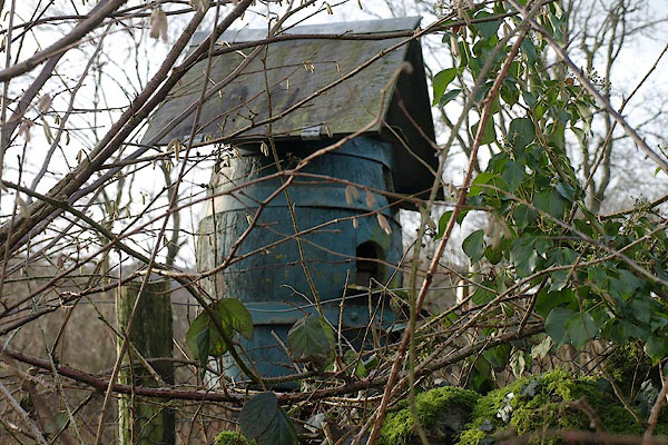 BSA91.jpg Dovecote, (taken 1.2.2010) 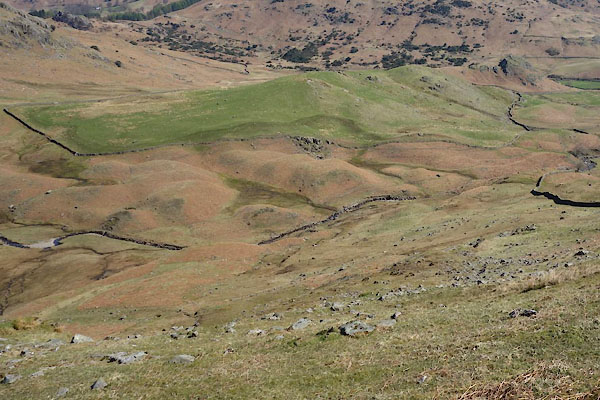 CCY22.jpg Are these drumlins? (taken 22.4.2015) |
|||||||||||||||||||||||||||||
|
|
|||||||||||||||||||||||||||||
| places:- |
|
||||||||||||||||||||||||||||
|
|||||||||||||||||||||||||||||
|
|||||||||||||||||||||||||||||
|
|||||||||||||||||||||||||||||
|
|||||||||||||||||||||||||||||
|
|||||||||||||||||||||||||||||
|
|||||||||||||||||||||||||||||
|
|||||||||||||||||||||||||||||
|
|||||||||||||||||||||||||||||
|
|||||||||||||||||||||||||||||
|
|||||||||||||||||||||||||||||
|
|||||||||||||||||||||||||||||
|
|||||||||||||||||||||||||||||
|
|||||||||||||||||||||||||||||
|
|||||||||||||||||||||||||||||
|
|||||||||||||||||||||||||||||
|
|||||||||||||||||||||||||||||
|
|||||||||||||||||||||||||||||
|
|||||||||||||||||||||||||||||
|
|||||||||||||||||||||||||||||
|
|||||||||||||||||||||||||||||
|
|||||||||||||||||||||||||||||
|
|||||||||||||||||||||||||||||
|
|||||||||||||||||||||||||||||
|
|||||||||||||||||||||||||||||
|
|||||||||||||||||||||||||||||
|
|||||||||||||||||||||||||||||
|
|||||||||||||||||||||||||||||
|
|||||||||||||||||||||||||||||
|
|||||||||||||||||||||||||||||
|
|||||||||||||||||||||||||||||
|
|||||||||||||||||||||||||||||
|
|||||||||||||||||||||||||||||
|
|||||||||||||||||||||||||||||
|
|||||||||||||||||||||||||||||
|
|||||||||||||||||||||||||||||
|
|||||||||||||||||||||||||||||
|
|||||||||||||||||||||||||||||
|
|||||||||||||||||||||||||||||
|
|||||||||||||||||||||||||||||
|
|||||||||||||||||||||||||||||
|
|||||||||||||||||||||||||||||
|
|||||||||||||||||||||||||||||
|
|||||||||||||||||||||||||||||
|
|||||||||||||||||||||||||||||
|
|||||||||||||||||||||||||||||
|
|||||||||||||||||||||||||||||
|
|||||||||||||||||||||||||||||
|
|||||||||||||||||||||||||||||
|
|||||||||||||||||||||||||||||
|
|||||||||||||||||||||||||||||
|
|||||||||||||||||||||||||||||
|
|||||||||||||||||||||||||||||
|
|||||||||||||||||||||||||||||
|
|||||||||||||||||||||||||||||
|
|||||||||||||||||||||||||||||
|
|||||||||||||||||||||||||||||
|
|||||||||||||||||||||||||||||
Lakes Guides menu.