 |
 |
   |
|
|
|
Slater Bridge |
|
Slaters Bridge |
| site name:- |
Brathay, River |
| locality:- |
Little Langdale |
| locality:- |
Stang End |
| civil parish:- |
Lakes (formerly Westmorland) |
| civil parish:- |
Coniston (formerly Lancashire) |
| county:- |
Cumbria |
| locality type:- |
packhorse bridge |
| locality type:- |
clapper bridge |
| locality type:- |
bridge |
| coordinates:- |
NY31200300 |
| 1Km square:- |
NY3103 |
| 10Km square:- |
NY30 |
| references:- |
Hinchcliffe, Ernest: 1994: Packhorse Bridges of England: Cicerone Press (Milnthorpe,
Cumbria)
|
|
|
|
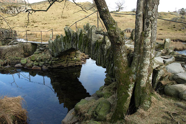
BSA79.jpg (taken 1.2.2010)
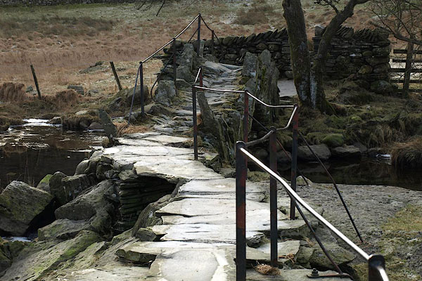
BSA76.jpg (taken 1.2.2010)
|
|
|
| evidence:- |
old map:- OS County Series (Wmd 25 11)
placename:- Slater Bridge
|
| source data:- |
Maps, County Series maps of Great Britain, scales 6 and 25
inches to 1 mile, published by the Ordnance Survey, Southampton,
Hampshire, from about 1863 to 1948.
|
|
|
| evidence:- |
old map:- OS County Series (Lan 1 8)
placename:- Slater Bridge
|
| source data:- |
Maps, County Series maps of Great Britain, scales 6 and 25
inches to 1 mile, published by the Ordnance Survey, Southampton,
Hampshire, from about 1863 to 1948.
|
|
|
| evidence:- |
possibly old map:- Bowen and Kitchin 1760
|
| source data:- |
Map, hand coloured engraving, A New Map of the Counties of
Cumberland and Westmoreland Divided into their Respective Wards,
scale about 4 miles to 1 inch, by Emanuel Bowen and Thomas
Kitchin et al, published by T Bowles, Robert Sayer, and John
Bowles, London, 1760.
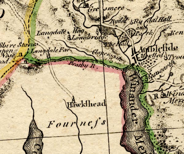
BO18SD29.jpg
road across the Brathay
item:- Armitt Library : 2008.14.10
Image © see bottom of page
|
|
|
| evidence:- |
old drawing:- Aspland 1840s-60s
placename:- Slater Bridge
|
| source data:- |
Drawing, pencil, Slater Bridge, Little Langdale, Westmorland, by Theophilus Lindsey
Aspland, 1849.
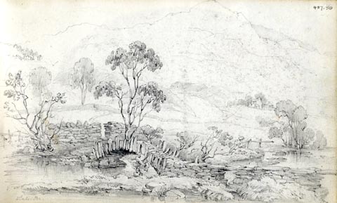 click to enlarge click to enlarge
AS0150.jpg
"Slater Br."
item:- Armitt Library : 1958.487.50
Image © see bottom of page
|
|
|
| evidence:- |
old photograph:- Aspland 1840s-60s
|
| source data:- |
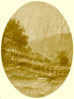 click to enlarge click to enlarge
AS0151.jpg
Photograph, faded sepia tone, Slater Bridge, Little Langdale, Westmorland, no date.
item:- Armitt Library : 1958.487.51
Image © see bottom of page
|
|
|
| evidence:- |
old drawing:- Aspland 1840s-60s
placename:- Slater Bridge
|
| source data:- |
Drawing, pencil, Slater Bridge, Little Langdale, Westmorland, by Theophilus Lindsey
Aspland, 1849.
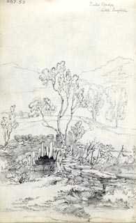 click to enlarge click to enlarge
AS0152.jpg
"Slater Bridge / Little Langdale"
item:- Armitt Library : 1958.487.52
Image © see bottom of page
|
|
|
| evidence:- |
database:- Listed Buildings 2010
placename:- Slaters Bridge
|
| source data:- |
courtesy of English Heritage
"SLATERS BRIDGE (THAT PART IN THE LAKES URBAN DISTRICT) / / / LAKES / SOUTH LAKELAND
/ CUMBRIA / II[star] / 452298 / NY3120903010"
|
| source data:- |
courtesy of English Heritage
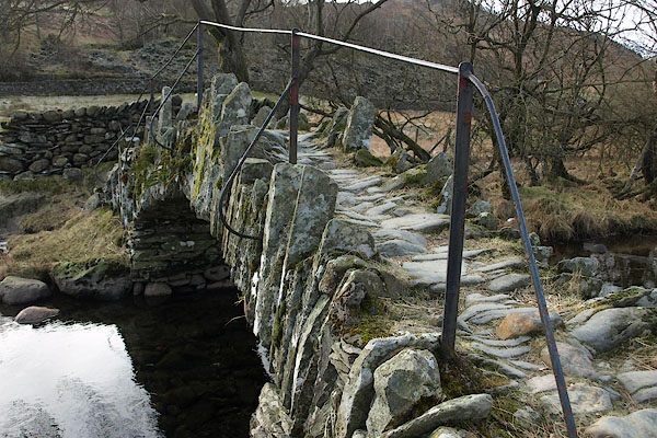
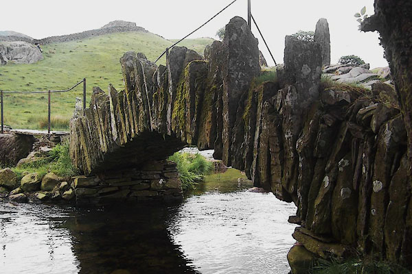
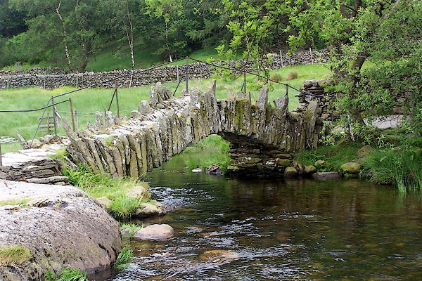
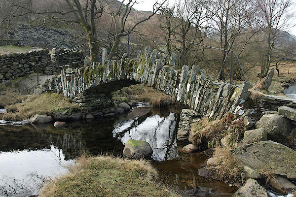
"Over River Brathay. C17 packhorse bridge of slate and natural boulders. Huge boulder
in mid-stream supports segmental arched bridge of 15 ft span with 3 1/2 ft voussoirs,
and a flat causeway of a single slab on slate supports."
|
|
|
| evidence:- |
database:- Listed Buildings 2010
placename:- Slater's Bridge
|
| source data:- |
courtesy of English Heritage
"SLATER'S BRIDGE (THAT PART WITHIN THE PARISH OF CONISTON) / / / CONISTON / SOUTH LAKELAND
/ CUMBRIA / II[star] / 76809 / NY3120903007"
|
| source data:- |
courtesy of English Heritage
"Bridge over River Brathay. Slate. 3 spans. Thin rough voussoirs form segmental arch,
some projecting to both sides. To north of arch 2 spans are formed of single stones
joined by causeway. Also listed under Lakes U.D. (Little Langdale)."
|
|
|
|
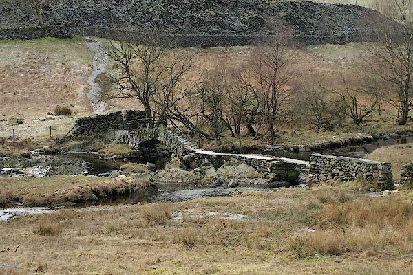
BSA74.jpg (taken 1.2.2010)
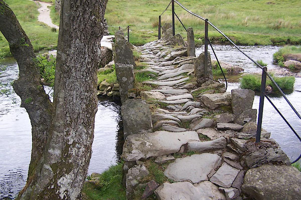
BMG99.jpg (taken 23.6.2006)
BSA77.jpg (taken 1.2.2010)
BMG98.jpg (taken 23.6.2006)
BMG97.jpg (taken 23.6.2006)
BSA78.jpg (taken 1.2.2010)
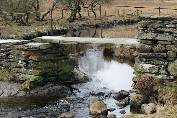
BSA75.jpg (taken 1.2.2010)
|
|
|
:-
|
An arch of 5 foot span, and two spans of clapper bridge, total span 75 feet, 50 ins
wide, no parapets.
|
|
Hinchcliffe, Ernest: 1994: Packhorse Bridges of England: Cicerone Press (Milnthorpe,
Cumbria)
|
|
|


 click to enlarge
 click to enlarge
 click to enlarge


 Lakes Guides menu.