


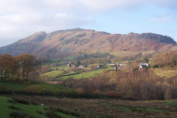
BVR82.jpg (taken 15.11.2011)
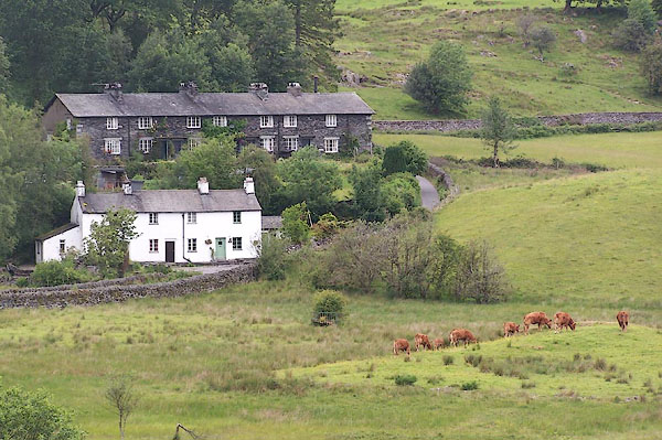
BMH15.jpg ... houses.
(taken 23.6.2006)
placename:- Langdale Parva
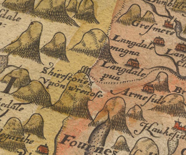
Sax9NY20.jpg
Building, symbol for a hamlet, which may or may not have a nucleus. "Langdale p~va"
item:- private collection : 2
Image © see bottom of page
placename:- Little Langdale
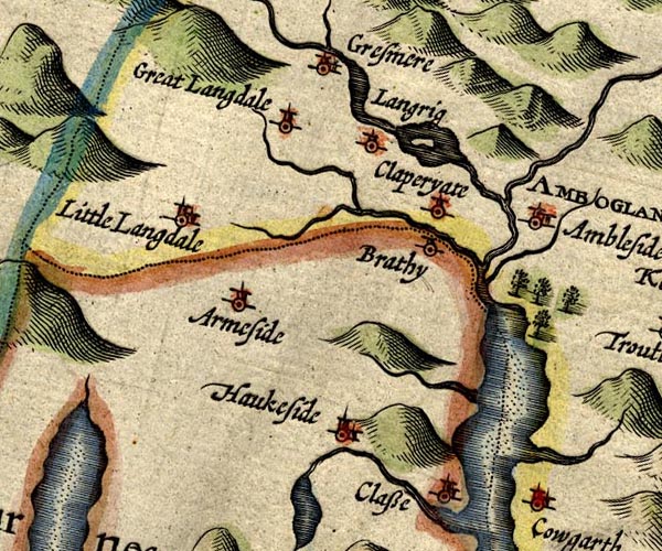
SP14NY30.jpg
"Little Langdale"
circle, building and tower
item:- Armitt Library : 2008.14.5
Image © see bottom of page
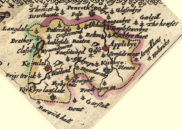
placename:- Langdala
JEN3Sq.jpg
"Langdala"
dot, circle, tower
item:- private collection : 52.Wmd
Image © see bottom of page
placename:- Little Langdale
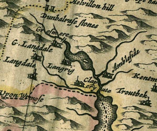
JAN3NY30.jpg
"Litt. Langdale"
Buildings and tower.
item:- JandMN : 88
Image © see bottom of page
placename:- Langdale
"Langdale"
placename:- Langdaile
"Langdaile"
placename:- Little Langdale
 click to enlarge
SEL7.jpg
"Little Langdale"
circle, italic lowercase text; settlement or house
item:- Dove Cottage : 2007.38.87
Image © see bottom of page
placename:- Litle Langdale
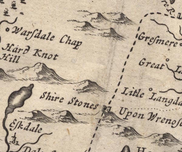
MD12NY20.jpg
"Litle Langdale"
Circle.
item:- JandMN : 90
Image © see bottom of page
placename:- Little Langdale
 click to enlarge
BD12.jpg
"L. Langdale"
circle, italic lowercase text; village, hamlet or locality
item:- Dove Cottage : 2007.38.62
Image © see bottom of page
placename:- Langdale
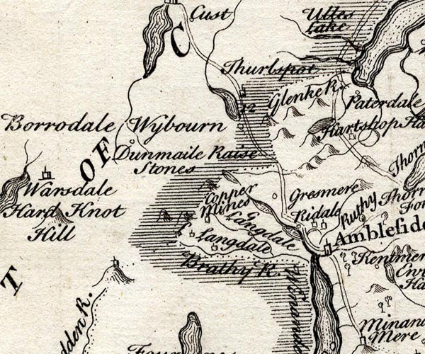
SMP2NYF.jpg
"Langdale"
Building.
item:- Dove Cottage : 2007.38.59
Image © see bottom of page
placename:- Langdale Far
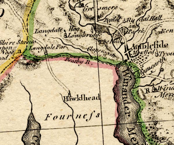
BO18SD29.jpg
"Langdale Far"
circle, tower
item:- Armitt Library : 2008.14.10
Image © see bottom of page
placename:- Little Langdale
placename:- Langdale, Little
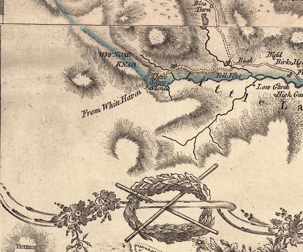
J5NY20SE.jpg
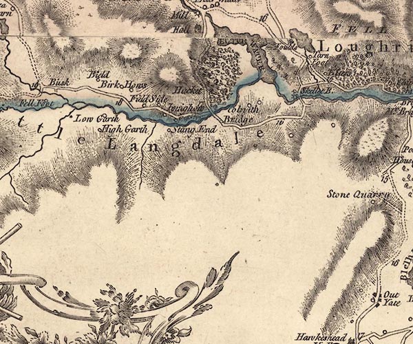
J5NY30SW.jpg
"Little Langdale"
hill hachuring; valley, across county boundary
item:- National Library of Scotland : EME.s.47
Images © National Library of Scotland
placename:- Higher Langdale
 goto source
Rev Plumtre's Night Piece on Windermere, 1797
Page 230:- "Colwith-Force is a very fine, though a small cascade, in Little, or Higher Langdale. ..."
placename:- Little Langdale
placename:- Langdale, Little
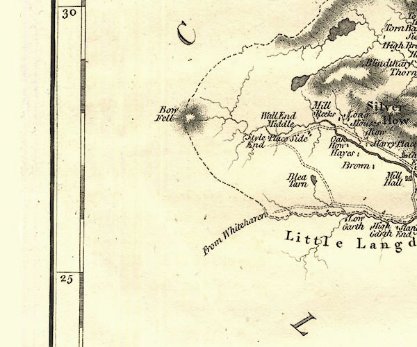
CY24NY20.jpg
"Little Langdale"
valley in Westmorland and Lancashire
item:- JandMN : 129
Image © see bottom of page
placename:- Little Langdale
 goto source
page 9:- "... the vales of Langdale are considered by some people of taste as the finest in the north of England. ..."
placename:- Langdale
 goto source
Page 162:- "..."
"A more extended excursion generally performed from Ambleside, is that into Langdale, which may be made partly in carriages, although it is more usual to effect it in carts, which way will indeed be found the most convenient and suitable to the roads, as well as enabling the tourist to carry the necessary creature comforts for a mountain ramble. The traveller may proceed, first, to Skelwith Bridge, three miles, just above which is the wild waterfall, called Skelwith Force; then by a road commanding views of Elter Water and great Langdale, he may proceed to Colwith Force, five miles from Ambleside. Three miles up Little Langdale, over a slack on the right, is Blea Tarn, so faithfully depicted in Wordsworth's 'Excursion.' ..."
 goto source
Page 163:- "... A road back by Langdale Chapel, will bring him again to Ambleside, after a circuit of nineteen miles, viz.:"
| Miles. | Miles. | |
| 3 | Skelwith Bridge | 3 |
| 2 | Colwith Force | 5 |
| 2½ | Blea Tarn | 7½ |
| 4 | Dungeon Gill | 11½ |
| 4 | Langdale Chapel | 15½ |
| 3½ | Ambleside, by Rydal | 19 |
placename:- Little Langdale
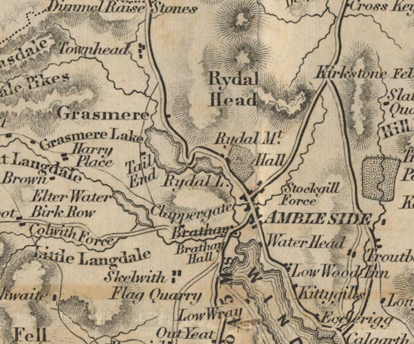
FD02NY30.jpg
"Little Langdale"
Area.
item:- JandMN : 100.1
Image © see bottom of page
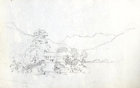 click to enlarge
AS0162.jpg
item:- Armitt Library : 1958.487.62
Image © see bottom of page
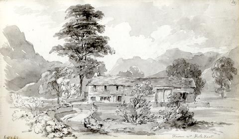 click to enlarge
AS0163.jpg
"Farm nr Fell Foot"
item:- Armitt Library : 1958.487.63
Image © see bottom of page
 Martineau Directory 1855
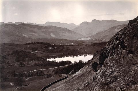 click to enlarge
HB0878.jpg
internegative at lower left:- "H. Bell"
item:- Armitt Library : ALPS549
Image © see bottom of page
placename:- Little Langdale
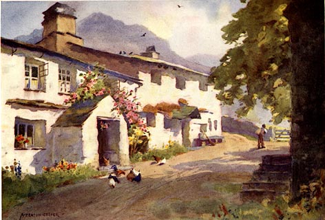 click to enlarge
MB0111.jpg
Tipped in opposite p.64 in Wild Lakeland by MacKenzie MacBride.
printed at bottom:- "SPRINKLING TARN AND GREAT GABLE"
signed at lower right:- "A. HEATON COOPER"
item:- JandMN : 195.13
Image © see bottom of page
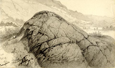 click to enlarge
PR1931.jpg
"WH. / Sept. 19. / 1870 / Langdale"
"Iceworn Rock in Langdale - / W. Brockbank. F.G.S / 26"
item:- Armitt Library : 1959.68.26
Image © see bottom of page
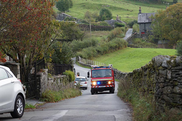
BZL47.jpg Fire engine heading towards Wrynose.
(taken 15.10.2013)
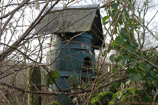
BSA91.jpg Dovecote,
(taken 1.2.2010)
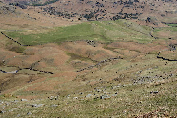
CCY22.jpg Are these drumlins?
(taken 22.4.2015)
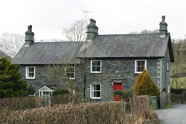 |
NY31760337 Ash Lea (Lakes) |
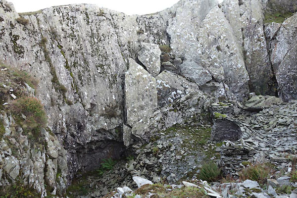 |
NY30750245 Betsy Crag Quarry (Lakes) |
 |
NY31030358 Bield Coppice (Lakes) |
 |
NY31290387 Bield Crag (Lakes) |
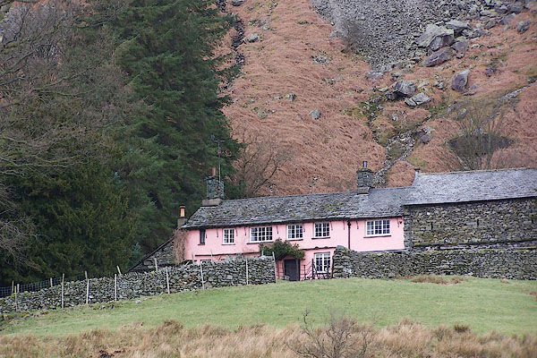 |
NY31160365 Bield, The (Lakes) L |
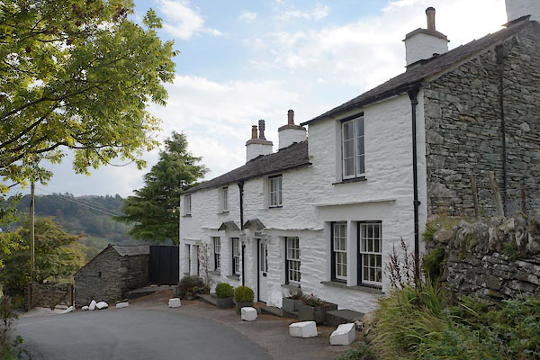 |
NY31550339 Birch House (Lakes) |
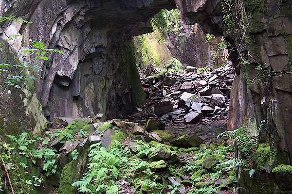 |
NY31110282 Black Hole Quarry (Coniston) |
 |
NY29490343 Blea Moss (Lakes) |
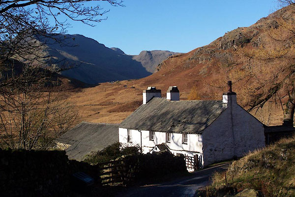 |
NY29500483 Bleatarn House (Lakes) L |
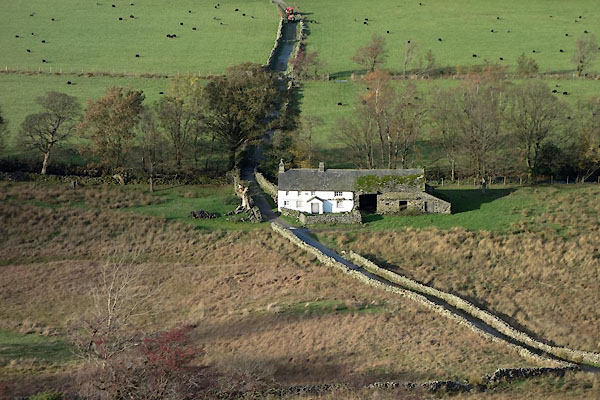 |
NY30100292 Bridge End (Coniston) L |
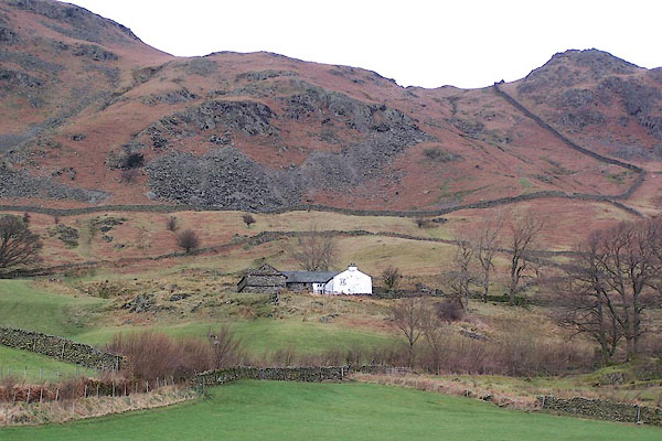 |
NY31400369 Brow (Lakes) |
 |
NY30840349 Busk Coppice (Lakes) |
 |
NY3003 Busk Gill (Lakes) |
 |
NY30530343 Busk House (Lakes) |
 |
NY31690418 Dale End Crag (Lakes) |
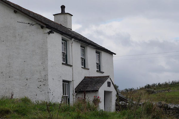 |
NY31640377 Dale End (Lakes) L |
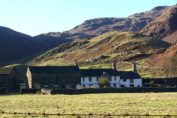 |
NY29890319 Fell Foot (Lakes) L |
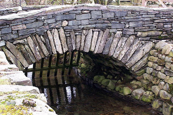 |
NY30000316 Fellfoot Bridge (Lakes) |
 |
NY31550306 Fitz Steps (Lakes) |
 |
NY30890377 Five o'clock Thorn (Lakes) |
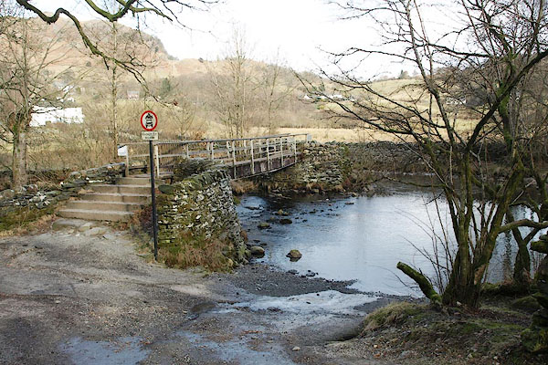 |
NY31600289 ford, Little Langdale (Lakes / Coniston) |
 |
NY32560316 Forge Wood (Lakes) |
 |
NY30300374 Gill Grains (Lakes) |
 |
NY30480387 Gillgrains Crag (Lakes) |
 |
NY31950321 Greenbank Farm (Lakes) |
 |
NY32280306 Hacket Forge (Lakes) |
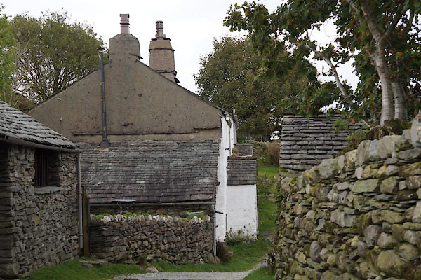 |
NY31390328 High Birk Howe (Lakes) L |
 |
NY32370356 High Hacket (Lakes) |
 |
NY31830402 Howe Banks (Lakes) |
 |
NY32510306 Langdale Pool (Lakes) |
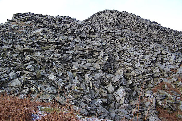 |
NY30880428 Lingmoor Quarry (Lakes) |
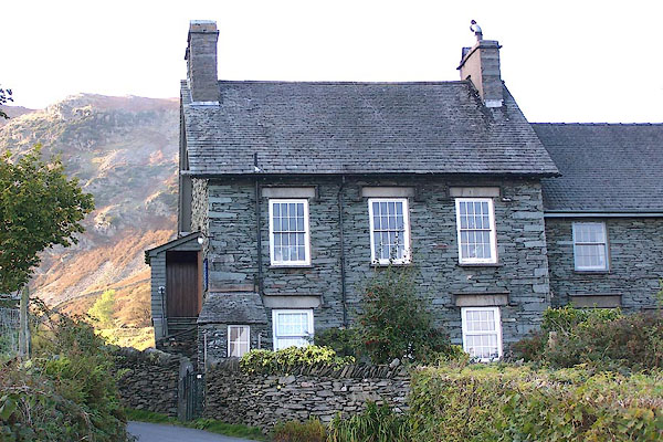 |
NY31540344 Little Langdale Chapel (Lakes) |
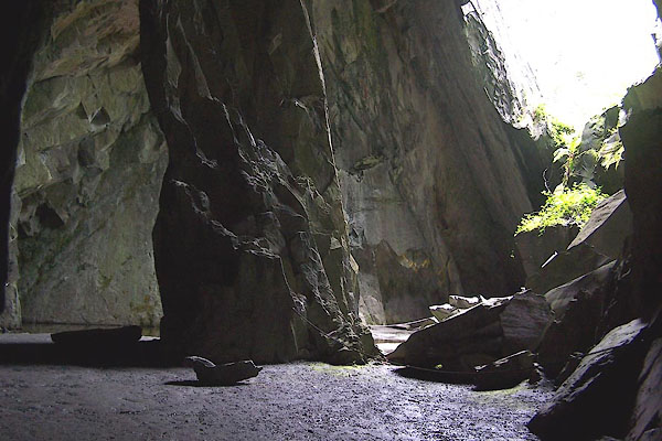 |
NY31400283 Little Langdale Quarry (Coniston) |
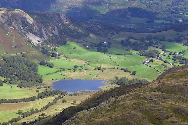 |
NY30910321 Little Langdale Tarn (Lakes) |
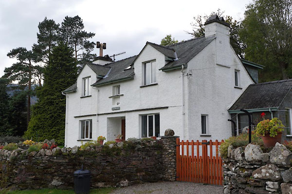 |
NY31520324 Low Birk Howe (Lakes) |
 |
NY32390342 Low Hacket (Lakes) |
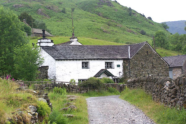 |
NY30950288 Low Hall Garth (Coniston) L |
 |
NY31430242 Moss Rigg Wood (Coniston) |
 |
NY31570303 New Houses (Lakes) |
 |
NY3003 New Intake Gill (Lakes) |
 |
NY30160387 Old Scales (Lakes) |
 |
NY30040323 Poundfell Howe Bridge (Lakes) |
 |
NY31890405 How Banks Quarry (Lakes) |
 |
NY31370271 (Coniston) |
 |
NY30800388 Raven Nest (Lakes) |
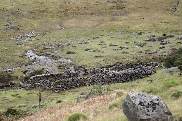 |
NY29750346 sheepfold, Little Langdale (Lakes) |
 |
NY29700385 Side Gates (Lakes) |
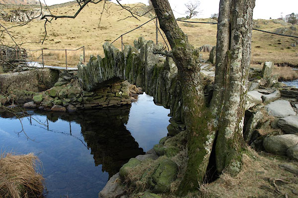 |
NY31200300 Slater Bridge (Lakes / Coniston) L |
 |
NY31810313 Stang End Bridge (Lakes) |
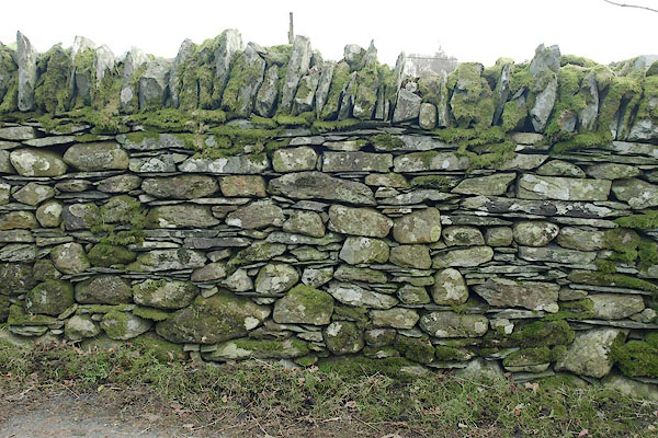 |
NY31580335 stone wall, Little Langdale (Lakes) |
 |
NY29400314 Sty Rigg (Lakes) |
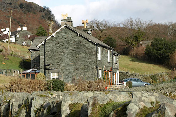 |
NY31550331 Sunny Bank Cottage (Lakes) |
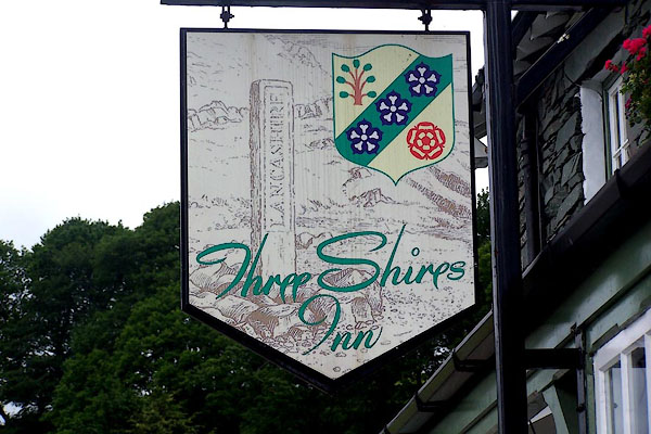 |
NY31660340 Three Shires Inn (Lakes) L |
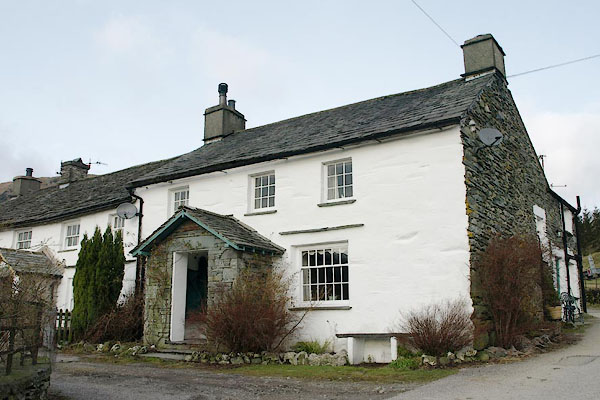 |
NY31810341 Wilson Place (Lakes) L |
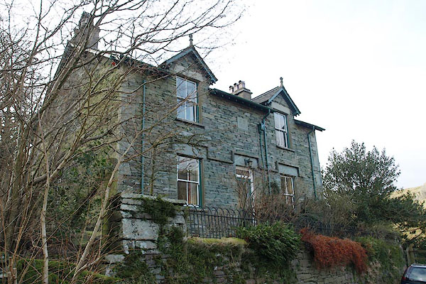 |
NY31490311 Woodlands (Lakes) |
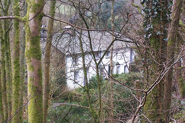 |
NY32240307 Forge Cottage (Lakes) |
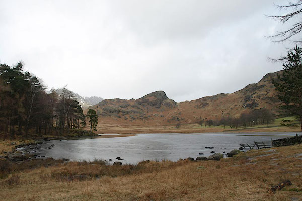 |
NY29300441 Blea Tarn (Lakes) |
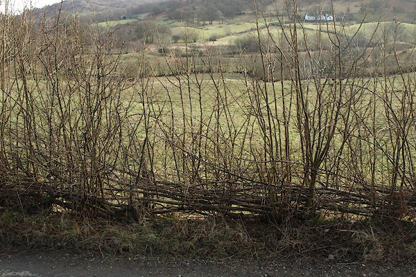 |
NY31510320 hedge, Little Langdale (Lakes) |
