Old Cumbria Gazetteer
 |
 |
|
||
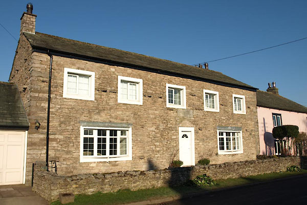
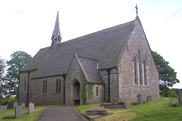
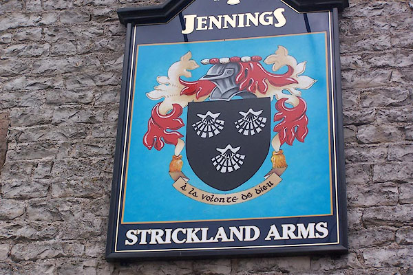
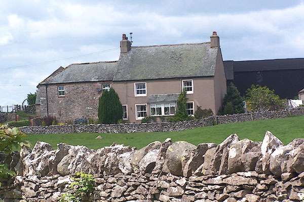
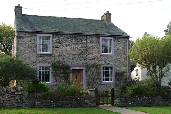
| Great Strickland | ||||
| civil parish:- | Great Strickland (formerly Westmorland) | |||
| county:- | Cumbria | |||
| locality type:- | locality | |||
| locality type:- | buildings | |||
| coordinates:- | NY55762285 (etc) | |||
| 1Km square:- | NY5522 | |||
| 10Km square:- | NY52 | |||
|
|
||||
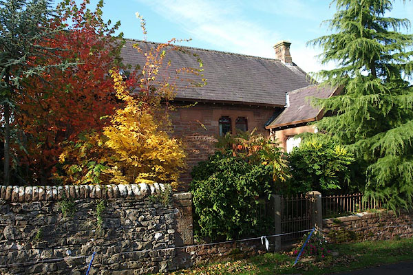
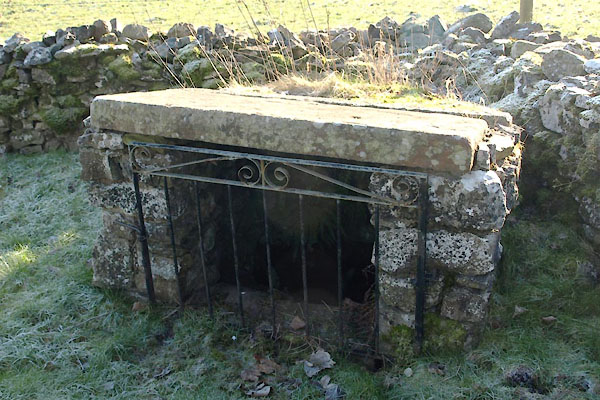
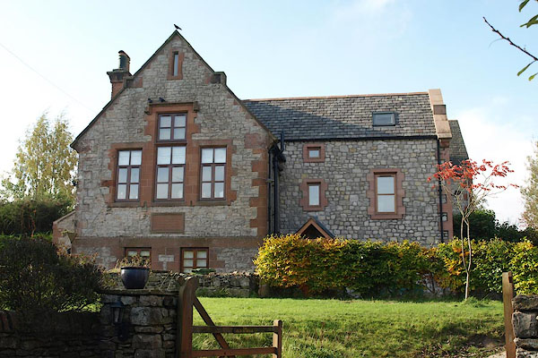
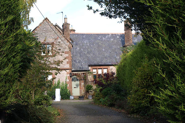
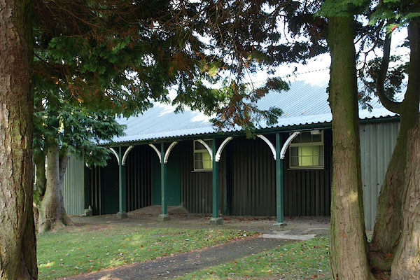
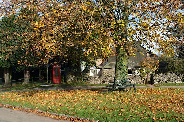 BRT36.jpg (taken 22.10.2009) 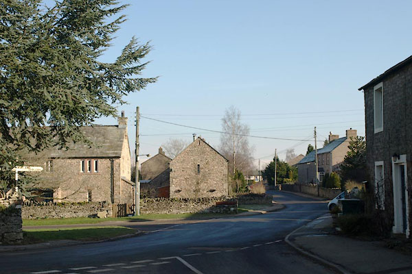 BVW24.jpg (taken 3.2.2012) |
||||
|
|
||||
| evidence:- | old map:- OS County Series (Wmd 8 10) placename:- Great Strickland placename:- Strickland, Great |
|||
| source data:- | Maps, County Series maps of Great Britain, scales 6 and 25
inches to 1 mile, published by the Ordnance Survey, Southampton,
Hampshire, from about 1863 to 1948. |
|||
|
|
||||
| evidence:- | old map:- Saxton 1579 placename:- Stricklandes |
|||
| source data:- | Map, hand coloured engraving, Westmorlandiae et Cumberlandiae Comitatus ie Westmorland
and Cumberland, scale about 5 miles to 1 inch, by Christopher Saxton, London, engraved
by Augustinus Ryther, 1576, published 1579-1645.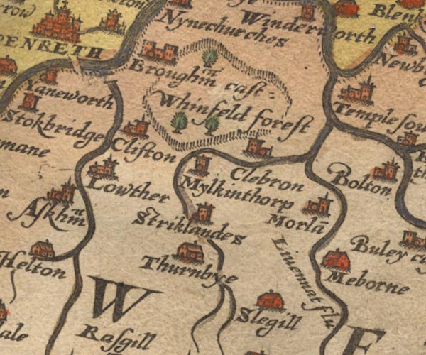 Sax9NY52.jpg Tower, symbol for a house, hall, tower, etc. "Stricklandes" item:- private collection : 2 Image © see bottom of page |
|||
|
|
||||
| evidence:- | old map:- Speed 1611 (Wmd) placename:- Striklandes |
|||
| source data:- | Map, hand coloured engraving, The Countie Westmorland and
Kendale the Cheif Towne, scale about 2.5 miles to 1 inch, by
John Speed, 1610, published by George Humble, Popes Head Alley,
London, 1611-12.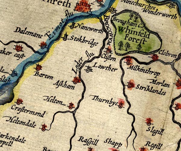 SP14NY52.jpg "Striklandes" circle, building and tower item:- Armitt Library : 2008.14.5 Image © see bottom of page |
|||
|
|
||||
| evidence:- | table of distances:- Simons 1635 placename:- Stricklandes |
|||
| source data:- | Table of distances, uncoloured engraving, Westmerland ie
Westmorland, with a thumbnail map, scale about 42 miles to 1
inch, by Mathew Simons, published in A Direction for the English
Traviller, 1635.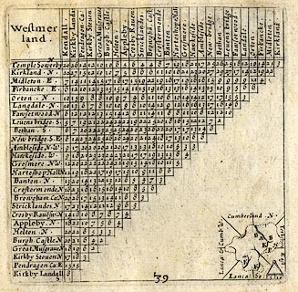 click to enlarge click to enlargeSIM3.jpg "Stricklandes N" and tabulated distances item:- private collection : 50.39 Image © see bottom of page |
|||
|
|
||||
| evidence:- | old map:- Jansson 1646 placename:- Stricklandes |
|||
| source data:- | Map, hand coloured engraving, Cumbria and Westmoria, ie
Cumberland and Westmorland, scale about 3.5 miles to 1 inch, by
John Jansson, Amsterdam, Netherlands, 1646.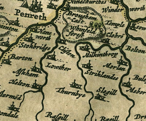 JAN3NY52.jpg "Stricklandes" Buildings and tower. item:- JandMN : 88 Image © see bottom of page |
|||
|
|
||||
| evidence:- | probably old map:- Ogilby 1675 (plate 38) placename:- Strickland |
|||
| source data:- | Road strip map, hand coloured engraving, continuation of the
Road from London to Carlisle, scale about 1 inch to 1 mile, by
John Ogilby, London, 1675.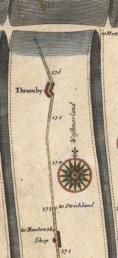 OG38m272.jpg In mile 273, Westmorland. Turning right:- "to Strickland" item:- JandMN : 21 Image © see bottom of page |
|||
|
|
||||
| evidence:- | old map:- Seller 1694 (Wmd) placename:- Striklandes |
|||
| source data:- | Map, hand coloured engraving, Westmorland, scale about 8 miles
to 1 inch, by John Seller, 1694. click to enlarge click to enlargeSEL7.jpg "Striklandes" circle, italic lowercase text; settlement or house item:- Dove Cottage : 2007.38.87 Image © see bottom of page |
|||
|
|
||||
| evidence:- | old map:- Morden 1695 (Wmd) placename:- Strictland Magna |
|||
| source data:- | Map, hand coloured engraving, Westmorland, scale about 2.5 miles to 1 inch, by Robert
Morden, published by Abel Swale, the Unicorn, St Paul's Churchyard, Awnsham, and John
Churchill, the Black Swan, Paternoster Row, London, 1695.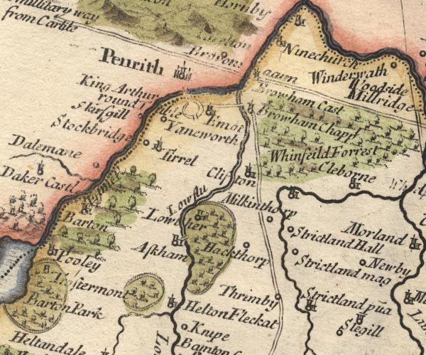 MD10NY52.jpg "Strictland mag" Circle. item:- JandMN : 24 Image © see bottom of page |
|||
|
|
||||
| evidence:- | possibly old map:- Simpson 1746 map (Wmd) placename:- Stricland |
|||
| source data:- | Map, uncoloured engraving, Westmorland, scale about 8 miles to 1
inch, printed by R Walker, Fleet Lane, London, 1746.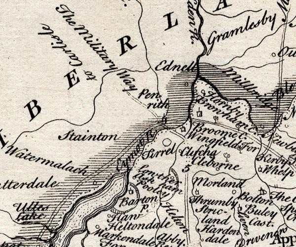 SMP2NYL.jpg "Stricland" item:- Dove Cottage : 2007.38.59 Image © see bottom of page |
|||
|
|
||||
| evidence:- | old map:- Bowen and Kitchin 1760 placename:- Strickland Magna |
|||
| source data:- | Map, hand coloured engraving, A New Map of the Counties of
Cumberland and Westmoreland Divided into their Respective Wards,
scale about 4 miles to 1 inch, by Emanuel Bowen and Thomas
Kitchin et al, published by T Bowles, Robert Sayer, and John
Bowles, London, 1760.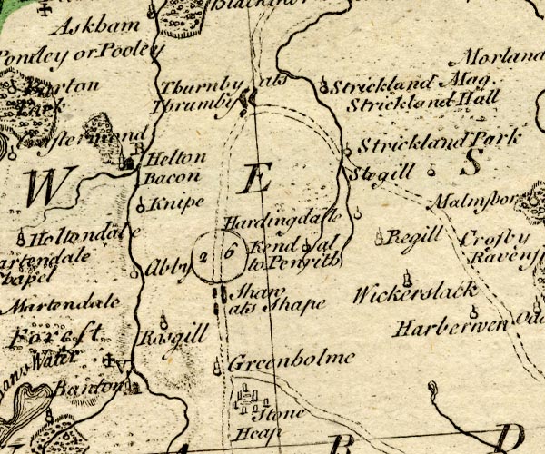 BO18NY41.jpg "Strickland Mag." circle, tower item:- Armitt Library : 2008.14.10 Image © see bottom of page |
|||
|
|
||||
| evidence:- | old map:- Jefferys 1770 (Wmd) placename:- Great Strickland placename:- Strickland, Great |
|||
| source data:- | Map, 4 sheets, The County of Westmoreland, scale 1 inch to 1
mile, surveyed 1768, and engraved and published by Thomas
Jefferys, London, 1770.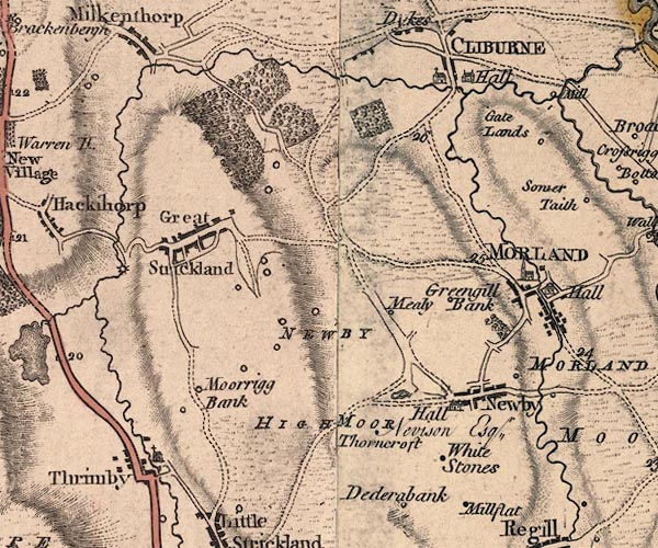 J5NY52SE.jpg "Great Strickland" blocks, labelled in upright lowercase text; settlement; town? item:- National Library of Scotland : EME.s.47 Image © National Library of Scotland |
|||
|
|
||||
| evidence:- | old map:- Cary 1789 (edn 1805) placename:- Great Strickland placename:- Strickland, Great |
|||
| source data:- | Map, uncoloured engraving, Westmoreland, scale about 2.5 miles
to 1 inch, by John Cary, London, 1789; edition 1805.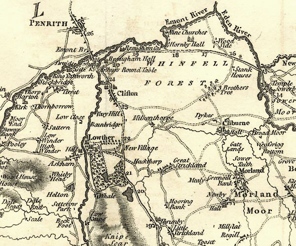 CY24NY52.jpg "Great Strickland" block/s, labelled in italic lowercase; house, or hamlet item:- JandMN : 129 Image © see bottom of page |
|||
|
|
||||
| evidence:- | old map:- Cooper 1808 placename:- Great Strickland |
|||
| source data:- | Map, hand coloured engraving, Westmoreland ie Westmorland, scale
about 9 miles to 1 inch, by H Cooper, 1808, published by R
Phillips, Bridge Street, Blackfriars, London, 1808. click to enlarge click to enlargeCOP4.jpg "Gt. Strickland" circle; village or hamlet item:- Dove Cottage : 2007.38.53 Image © see bottom of page |
|||
|
|
||||
| evidence:- | perhaps old text:- Gents Mag |
|||
| source data:- | Magazine, The Gentleman's Magazine or Monthly Intelligencer or
Historical Chronicle, published by Edward Cave under the
pseudonym Sylvanus Urban, and by other publishers, London,
monthly from 1731 to 1922. goto source goto sourceGentleman's Magazine 1825 part 1 p.513 From the Compendium of County History:- "Crackenthorpe, Richard, controversial divine, Strickland, 1587." |
|||
|
|
||||
| evidence:- | old text:- Gents Mag 1825 |
|||
| source data:- | goto source Gentleman's Magazine 1825 part 1 p.514 From the Compendium of County History:- "Strickland, William de, Bishop of Carlisle, Great Strickland, 1[ ]96." |
|||
|
|
||||
| evidence:- | old map:- Ford 1839 map placename:- Great Strickland |
|||
| source data:- | Map, uncoloured engraving, Map of the Lake District of
Cumberland, Westmoreland and Lancashire, scale about 3.5 miles
to 1 inch, published by Charles Thurnam, Carlisle, and by R
Groombridge, 5 Paternoster Row, London, 3rd edn 1843.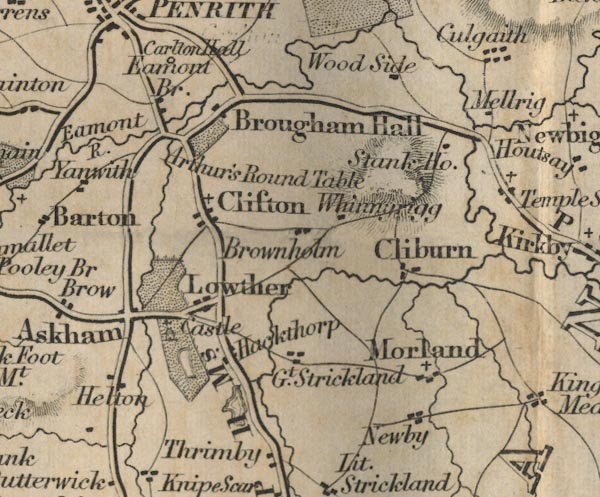 FD02NY52.jpg "Gt. Strickland" item:- JandMN : 100.1 Image © see bottom of page |
|||
|
|
||||
| places:- |
|
|||
|
||||
|
||||
|
||||
|
||||
|
||||
|
||||
|
||||
|
||||
|
||||
|
||||
|
||||
|
||||
|
||||
|
||||
|
||||
|
||||
|
||||
|
||||
|
||||
|
||||
|
||||
Lakes Guides menu.