 Old Cumbria Gazetteer
 |
 |
|
| School House, Great Strickland | ||
| School House | ||
| locality:- | Great Strickland | |
| civil parish:- | Great Strickland (formerly Westmorland) | |
| county:- | Cumbria | |
| locality type:- | buildings | |
| locality type:- | school (ex) | |
| coordinates:- | NY55622281 | |
| 1Km square:- | NY5522 | |
| 10Km square:- | NY52 | |
|
|
||
| MN photo:- |
This and The Old School seem to be the same building. |
|
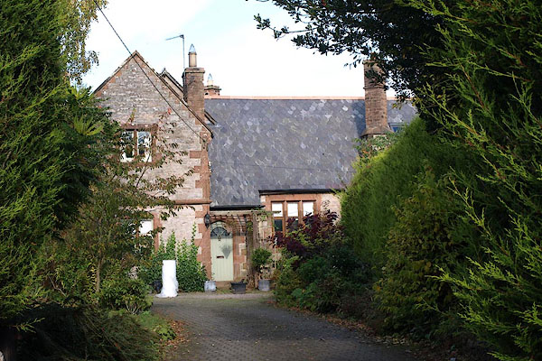 BRT46.jpg (taken 22.10.2009) |
||
|
|
||
| evidence:- | old map:- OS County Series |
|
| source data:- | Maps, County Series maps of Great Britain, scales 6 and 25
inches to 1 mile, published by the Ordnance Survey, Southampton,
Hampshire, from about 1863 to 1948. "National School" |
|
|
|
||
| also see:- |  Old School, Great Strickland Old School, Great Strickland |
|
|
|
||
Lakes Guides menu.