 Old Cumbria Gazetteer
 |
 |
|
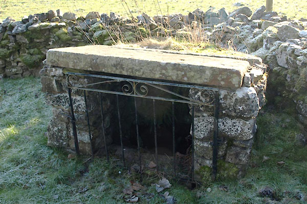
| Low Well, Great Strickland | ||
| Low Well | ||
| locality:- | Great Strickland | |
| civil parish:- | Great Strickland (formerly Westmorland) | |
| county:- | Cumbria | |
| locality type:- | well | |
| coordinates:- | NY56242302 | |
| 1Km square:- | NY5623 | |
| 10Km square:- | NY52 | |
|
|
||
 BVW22.jpg (taken 3.2.2012) 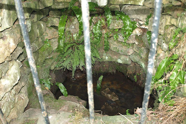 BVW23.jpg (taken 3.2.2012) |
||
|
|
||
| evidence:- | old map:- OS County Series (Wmd 8 10) placename:- Low Well placename:- Well, Low |
|
| source data:- | Maps, County Series maps of Great Britain, scales 6 and 25
inches to 1 mile, published by the Ordnance Survey, Southampton,
Hampshire, from about 1863 to 1948. |
|
|
|
||
 Lakes Guides menu.