 |
 |
|
|
|
| runs into:- |
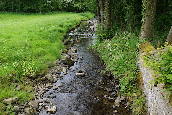
 Broughton Beck Broughton Beck |
|
|
|
|
| civil parish:- |
Bridekirk (formerly Cumberland) |
| civil parish:- |
Papcastle (formerly Cumberland) |
| civil parish:- |
Blindcrake (formerly Cumberland) |
| county:- |
Cumbria |
| locality type:- |
river |
| locality type:- |
boundary |
| locality type:- |
parish boundary |
| 1Km square:- |
NY1133 (etc) |
| 10Km square:- |
NY13 |
|
|
|
CAU81.jpg (taken 30.5.2014)
|
|
|
| evidence:- |
old map:- OS County Series (Cmd 45 12)
placename:- Brides Beck
|
| source data:- |
Maps, County Series maps of Great Britain, scales 6 and 25
inches to 1 mile, published by the Ordnance Survey, Southampton,
Hampshire, from about 1863 to 1948.
OS County Series (Cmd 45 15)
|
|
|
| places:- |
 |
NY10713346 bridge, Dovenby (Bridekirk) |
|
|
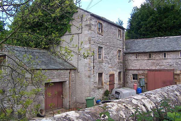 |
NY10443327 Dovenby Mill (Bridekirk) L |
|
|
|
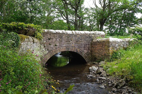
NY10453300 bridge, Papcastle (Papcastle / Bridekirk) |
|
|
|
NY10183308 Dovenby Bridge (Bridekirk) |
|
