Old Cumbria Gazetteer
 |
 |
|
||
| Dee, River | ||||
| runs into:- |  Rawthey, River Rawthey, River |
|||
|
|
||||
| civil parish:- | Dent (formerly Yorkshire) | |||
| civil parish:- | Sedbergh (formerly Yorkshire) | |||
| county:- | Cumbria | |||
| locality type:- | river | |||
| 1Km square:- | SD7186 (etc etc) | |||
| 10Km square:- | SD78 | |||
| 10Km square:- | SD68 | |||
| 10Km square:- | SD69 | |||
|
|
||||
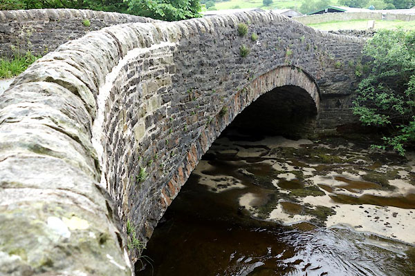
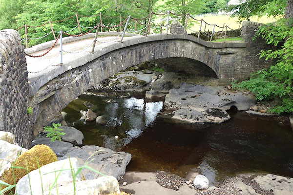
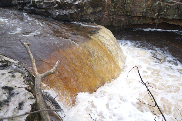
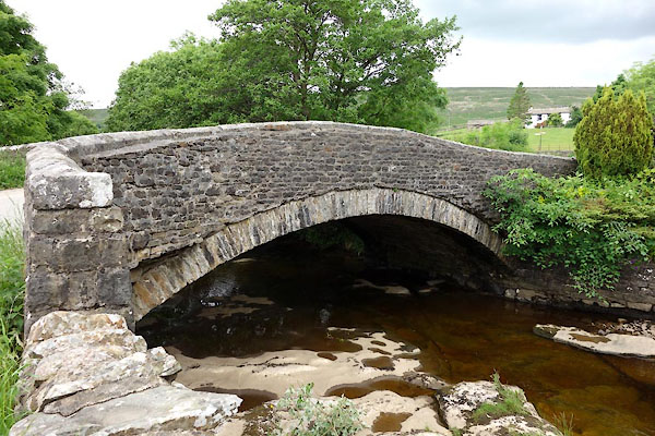
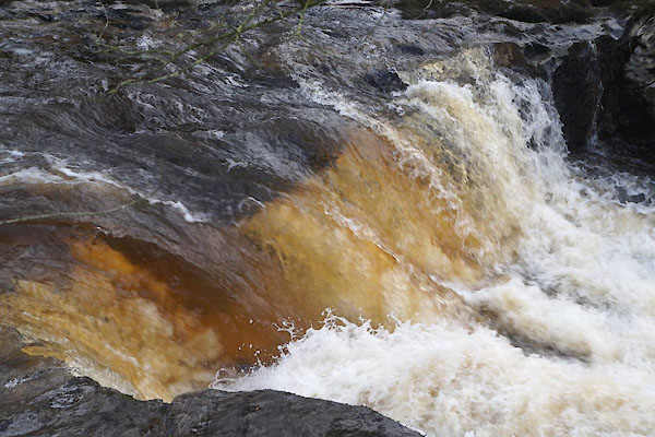
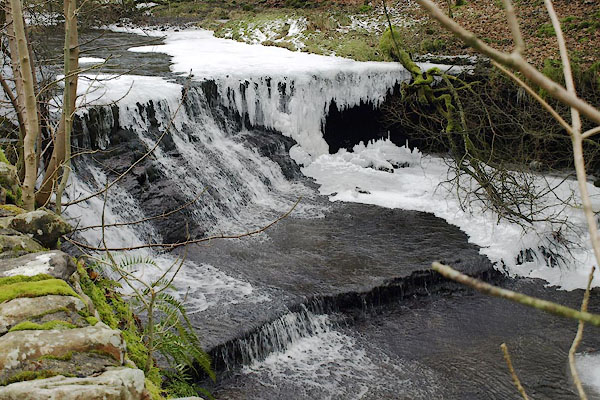
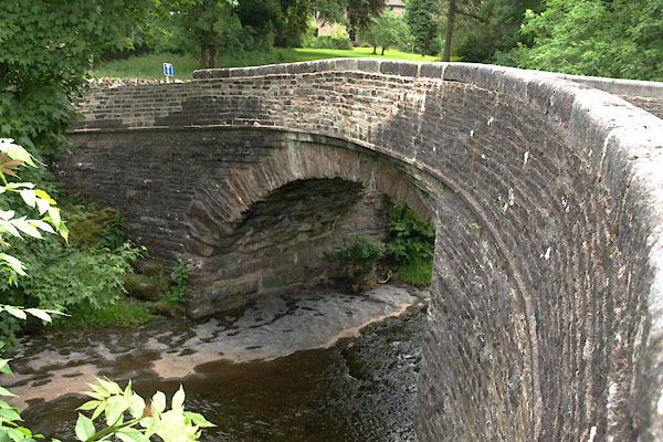
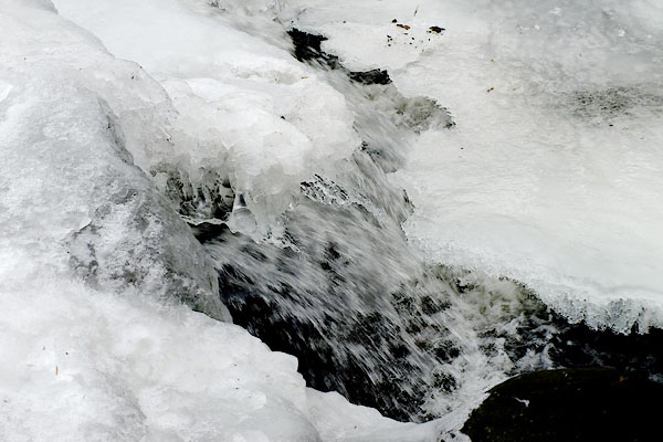
 BYP97.jpg At Cow Dub Bridge, (taken 25.6.2013) 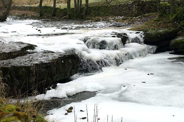 BPX11.jpg Frozen waterfall. (taken 9.1.2009) |
||||
|
|
||||
| evidence:- | probably old map:- Lloyd 1573 |
|||
| source data:- | Map, hand coloured copper plate engraving, Angliae Regni,
Kingdom of England, with Wales, scale about 24 miles to 1 inch, authored by Humphrey
Lloyd, Denbigh, Clwyd, drawn and engraved
by Abraham Ortelius, Netherlands, 1573. click to enlarge click to enlargeLld1Cm.jpg item:- Hampshire Museums : FA1998.69 Image © see bottom of page |
|||
|
|
||||
| evidence:- | old map:- Saxton 1579 |
|||
| source data:- | Map, hand coloured engraving, Westmorlandiae et Cumberlandiae Comitatus ie Westmorland
and Cumberland, scale about 5 miles to 1 inch, by Christopher Saxton, London, engraved
by Augustinus Ryther, 1576, published 1579-1645.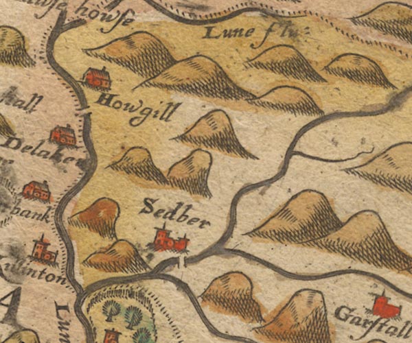 Sax9SD69.jpg item:- private collection : 2 Image © see bottom of page |
|||
|
|
||||
| evidence:- | old map:- Mercator 1595 (edn?) placename:- Dent flu. |
|||
| source data:- | Map, hand coloured engraving, Westmorlandia, Lancastria, Cestria
etc, ie Westmorland, Lancashire, Cheshire etc, scale about 10.5
miles to 1 inch, by Gerard Mercator, Duisberg, Germany, 1595,
edition 1613-16. MER5WmdA.jpg "Dent flu." river double line with stream lines; river, running into the Lune item:- Armitt Library : 2008.14.3 Image © see bottom of page |
|||
|
|
||||
| evidence:- | old map:- Speed 1611 (Wmd) |
|||
| source data:- | Map, hand coloured engraving, The Countie Westmorland and
Kendale the Cheif Towne, scale about 2.5 miles to 1 inch, by
John Speed, 1610, published by George Humble, Popes Head Alley,
London, 1611-12.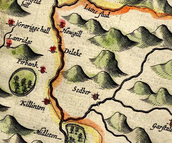 SP14SD69.jpg double line, into the Lune item:- Armitt Library : 2008.14.5 Image © see bottom of page |
|||
|
|
||||
| evidence:- | old map:- Sanson 1679 |
|||
| source data:- | Map, hand coloured engraving, Ancien Royaume de Northumberland
aujourdhuy Provinces de Nort, ie the Ancient Kingdom of
Northumberland or the Northern Provinces, scale about 9.5 miles
to 1 inch, by Nicholas Sanson, Paris, France, 1679. click to enlarge click to enlargeSAN2Cm.jpg tapering wiggly line; river item:- Dove Cottage : 2007.38.15 Image © see bottom of page |
|||
|
|
||||
| evidence:- | old map:- Seller 1694 (Wmd) |
|||
| source data:- | Map, hand coloured engraving, Westmorland, scale about 8 miles
to 1 inch, by John Seller, 1694. click to enlarge click to enlargeSEL7.jpg tapering wiggly line; river item:- Dove Cottage : 2007.38.87 Image © see bottom of page |
|||
|
|
||||
| evidence:- | old map:- Morden 1695 (Wmd) |
|||
| source data:- | Map, hand coloured engraving, Westmorland, scale about 2.5 miles to 1 inch, by Robert
Morden, published by Abel Swale, the Unicorn, St Paul's Churchyard, Awnsham, and John
Churchill, the Black Swan, Paternoster Row, London, 1695.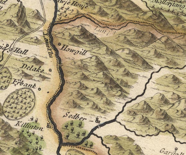 MD10SD69.jpg item:- JandMN : 24 Image © see bottom of page |
|||
|
|
||||
| evidence:- | old map:- Simpson 1746 map (Wmd) placename:- Dent River |
|||
| source data:- | Map, uncoloured engraving, Westmorland, scale about 8 miles to 1
inch, printed by R Walker, Fleet Lane, London, 1746. SMP2SDU.jpg "Dent R." Wiggly line. item:- Dove Cottage : 2007.38.59 Image © see bottom of page |
|||
|
|
||||
| evidence:- | old map:- Bowen and Kitchin 1760 |
|||
| source data:- | Map, hand coloured engraving, A New Map of the Counties of
Cumberland and Westmoreland Divided into their Respective Wards,
scale about 4 miles to 1 inch, by Emanuel Bowen and Thomas
Kitchin et al, published by T Bowles, Robert Sayer, and John
Bowles, London, 1760.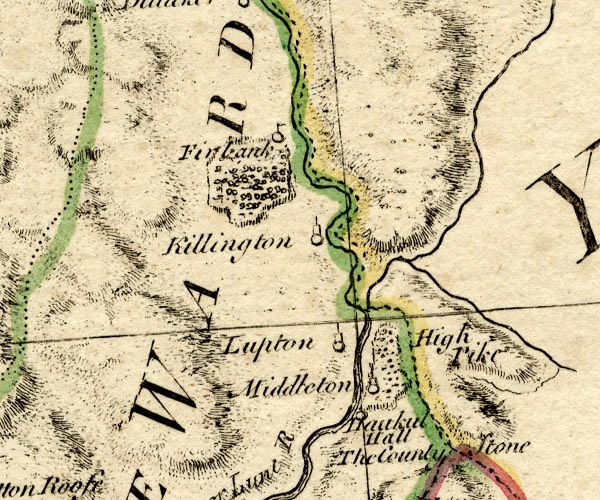 BO18SD69.jpg wiggly line, into the Rawthey item:- Armitt Library : 2008.14.10 Image © see bottom of page |
|||
|
|
||||
| evidence:- | old map:- Jefferys 1770 (Wmd) |
|||
| source data:- | Map, 4 sheets, The County of Westmoreland, scale 1 inch to 1
mile, surveyed 1768, and engraved and published by Thomas
Jefferys, London, 1770.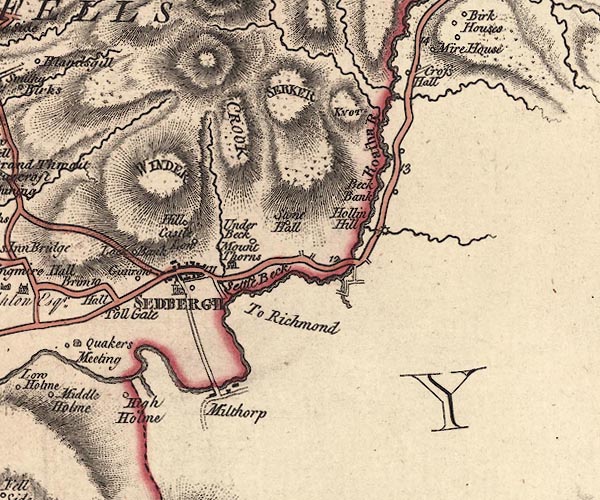 J5SD69SE.jpg single or double wiggly line; river item:- National Library of Scotland : EME.s.47 Image © National Library of Scotland |
|||
|
|
||||
| evidence:- | old map:- Garnett 1850s-60s H |
|||
| source data:- | Map of the English Lakes, in Cumberland, Westmorland and
Lancashire, scale about 3.5 miles to 1 inch, published by John
Garnett, Windermere, Westmorland, 1850s-60s. GAR2SD69.jpg wiggly line, river item:- JandMN : 82.1 Image © see bottom of page |
|||
|
|
||||
| evidence:- | old map:- Balderston c1890 map placename:- Dee, River |
|||
| source data:- | Map, the hills in the Ingleton area, probably by Robert R
Balderston, engraved by Goodall and Suddick, Leeds, West
Yorkshire, about 1890.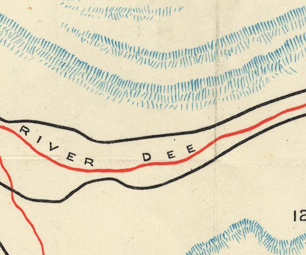 BS1SD78I.jpg "RIVER DEE" item:- private collection : 27.1 Image © see bottom of page |
|||
|
|
||||
| evidence:- | textbook:- Rivet and Smith 1979 placename:- Deva |
|||
| source data:- | ||||
|
|
||||
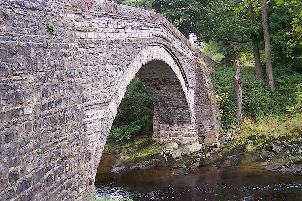
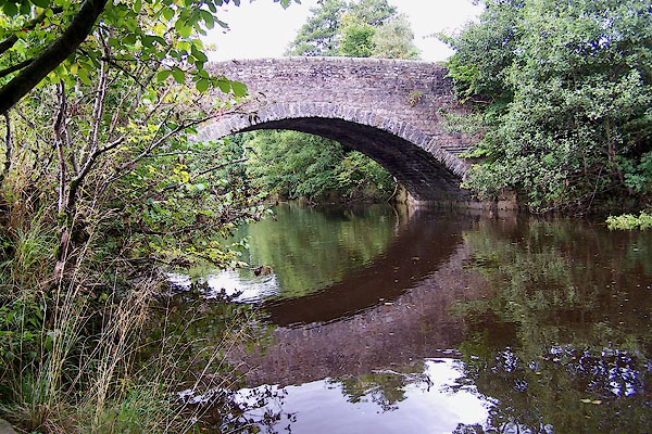
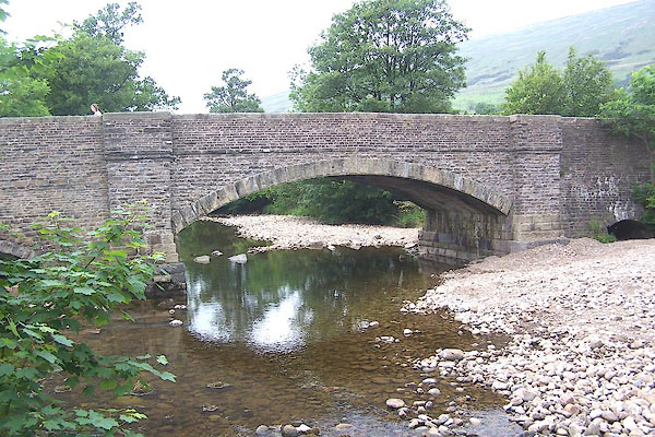
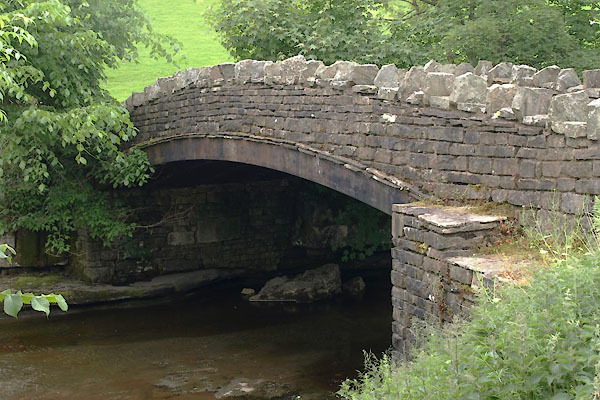
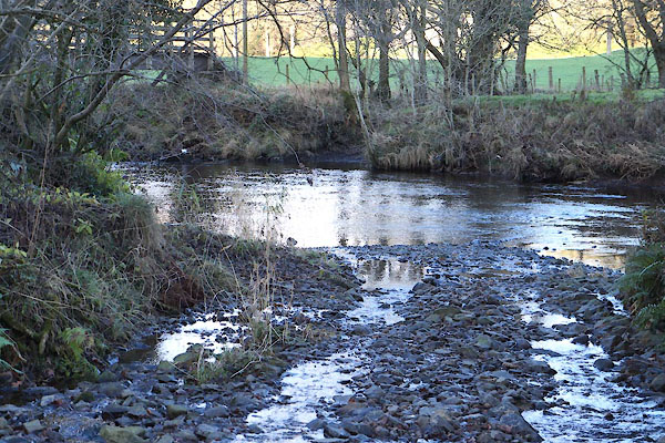
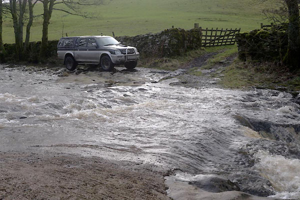
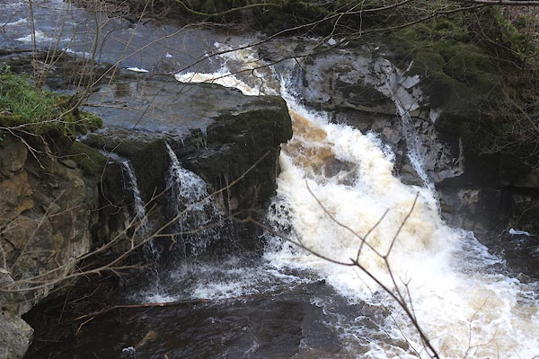
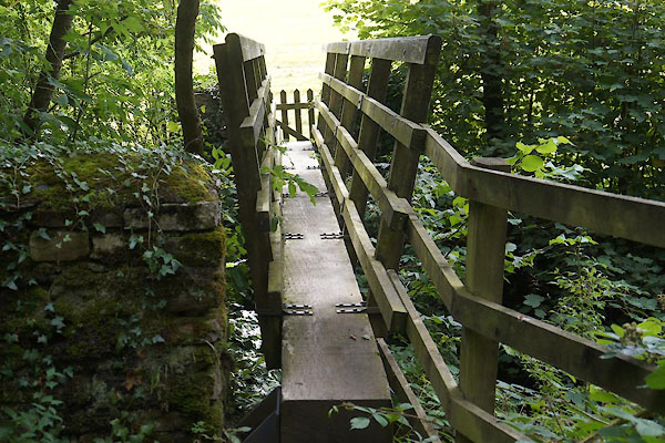
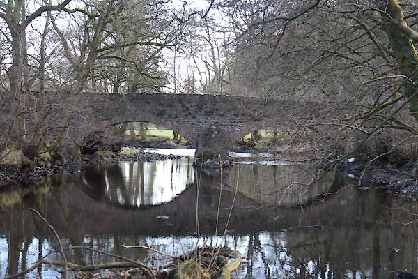
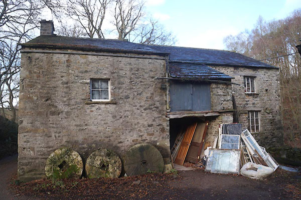
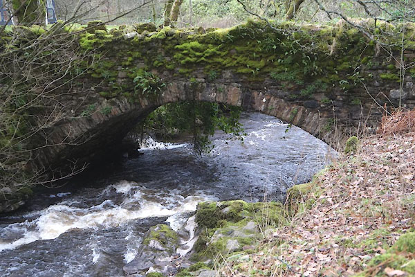
 BPX12.jpg Frozen waterfall; still and moving water. (taken 9.1.2009) 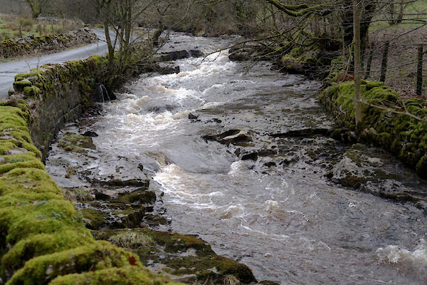 CEN55.jpg Near Dee Side Farm (taken 29.1.2016) 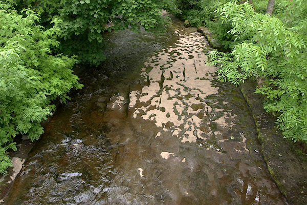 BYP83.jpg At Stone House Bridge, (taken 25.6.2013) 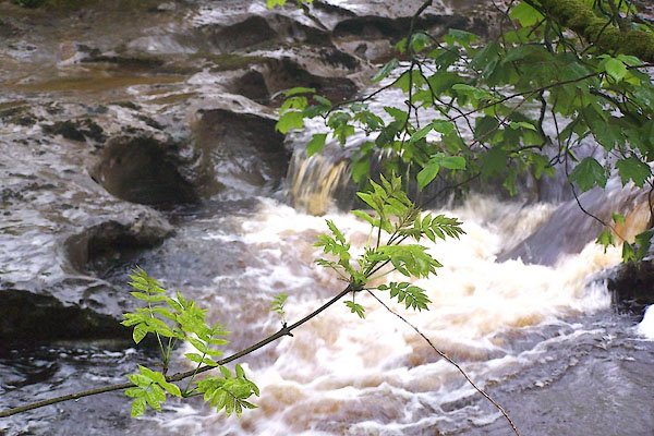 BMD03.jpg (taken 26.5.2006) 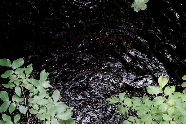 CDS43.jpg At Kelly Bridge, (taken 25.8.2015) 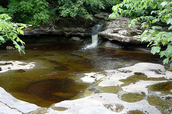 BYQ28.jpg The Cowgill Beck entering the Dee. (taken 25.6.2013) 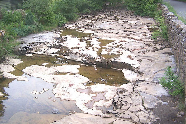 BMG62.jpg At Lea Yea, dried up! (taken 16.6.2006) 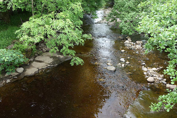 BYQ31.jpg At Lea Yea. (taken 25.6.2013) 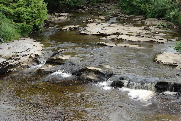 BYQ32.jpg At Lea Yea. (taken 25.6.2013)  BMG67.jpg At Ewegales Bridge, dried up! (taken 16.6.2006) 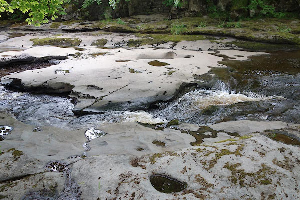 BYQ27.jpg At Ewegales Bridge, (taken 25.6.2013) 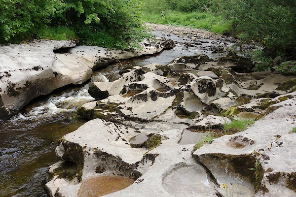 BYQ29.jpg (taken 25.6.2013) 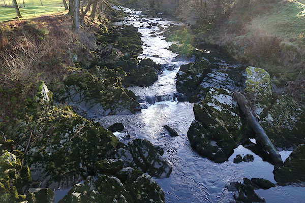 CCD76.jpg At Abbot Holme Bridge, (taken 5.12.2014) 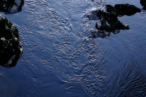 CCD77.jpg At Abbot Holme Bridge, (taken 5.12.2014) |
||||
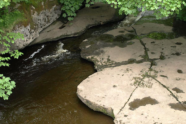
| At places you can walk on the limestone bed of the river and hear it flowing beneath
you, or even look through a hole and see it. |
||||
|
|
||||
| places:- |
|
|||
|
||||
|
||||
|
||||
|
||||
|
||||
|
||||
|
||||
|
||||
|
||||
|
||||
|
||||
|
||||
|
||||
|
||||
|
||||
|
||||
|
||||
|
||||
|
||||
|
||||
|
||||
Lakes Guides menu.