 Old Cumbria Gazetteer
 |
 |
|
| Cow Dub Bridge, Dent | ||
| Cow Dub Bridge | ||
| site name:- | Dee, River | |
| locality:- | Cow Dub | |
| locality:- | Dentdale | |
| civil parish:- | Dent (formerly Yorkshire) | |
| county:- | Cumbria | |
| locality type:- | bridge | |
| coordinates:- | SD76878630 | |
| 1Km square:- | SD7686 | |
| 10Km square:- | SD78 | |
|
|
||
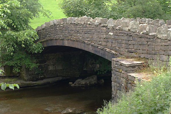 BYP96.jpg (taken 25.6.2013) |
||
|
|
||
| evidence:- | old map:- OS County series (Yrk 64) placename:- Cow Dub Bridge |
|
| source data:- | "Cow Dub Bridge" |
|
|
|
||
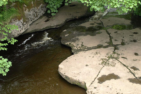 BYP97.jpg View of river. (taken 25.6.2013) |
||
|
|
||
 Lakes Guides menu.